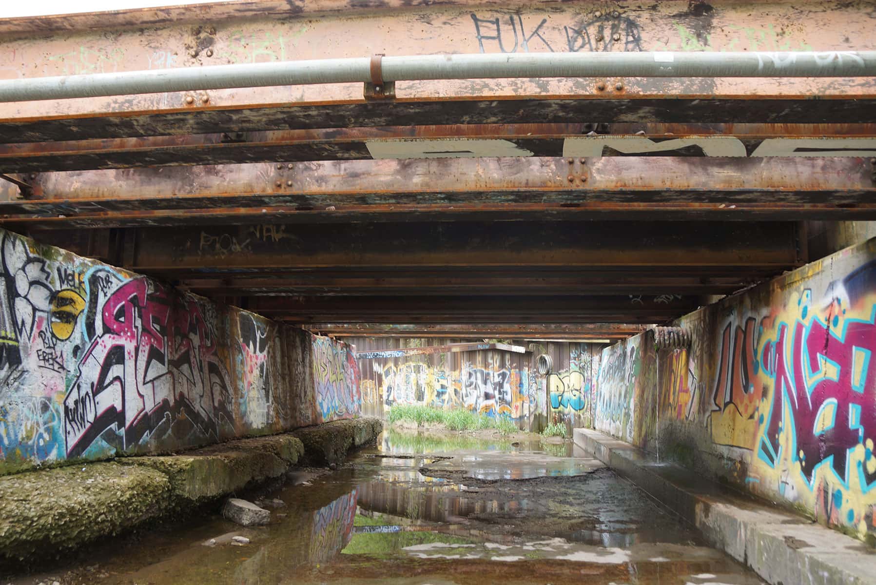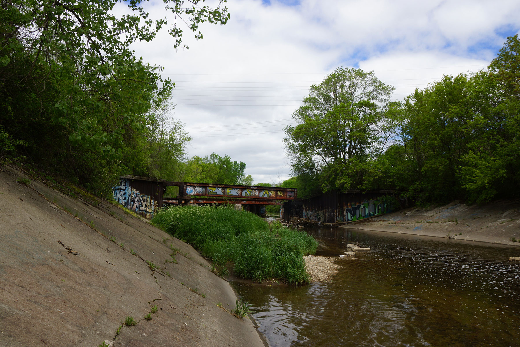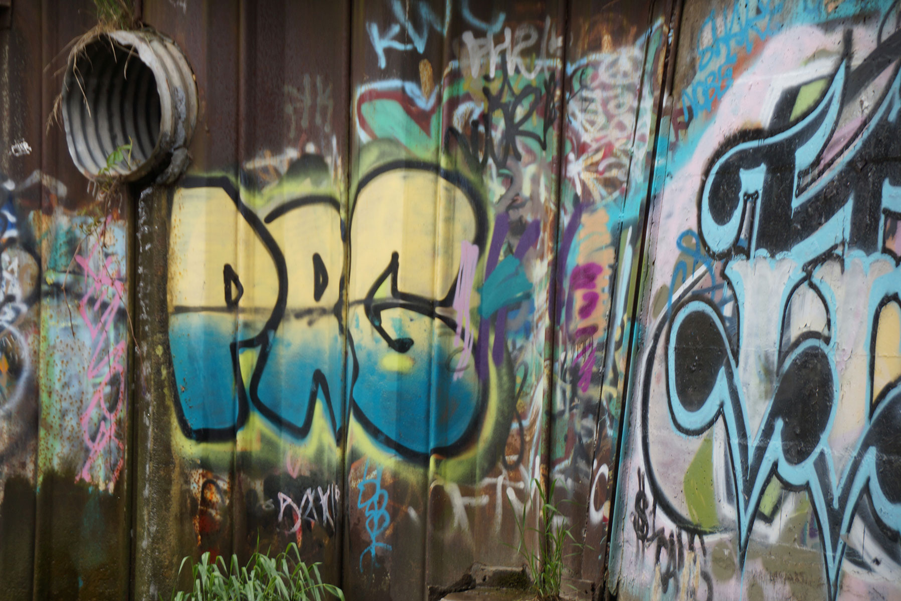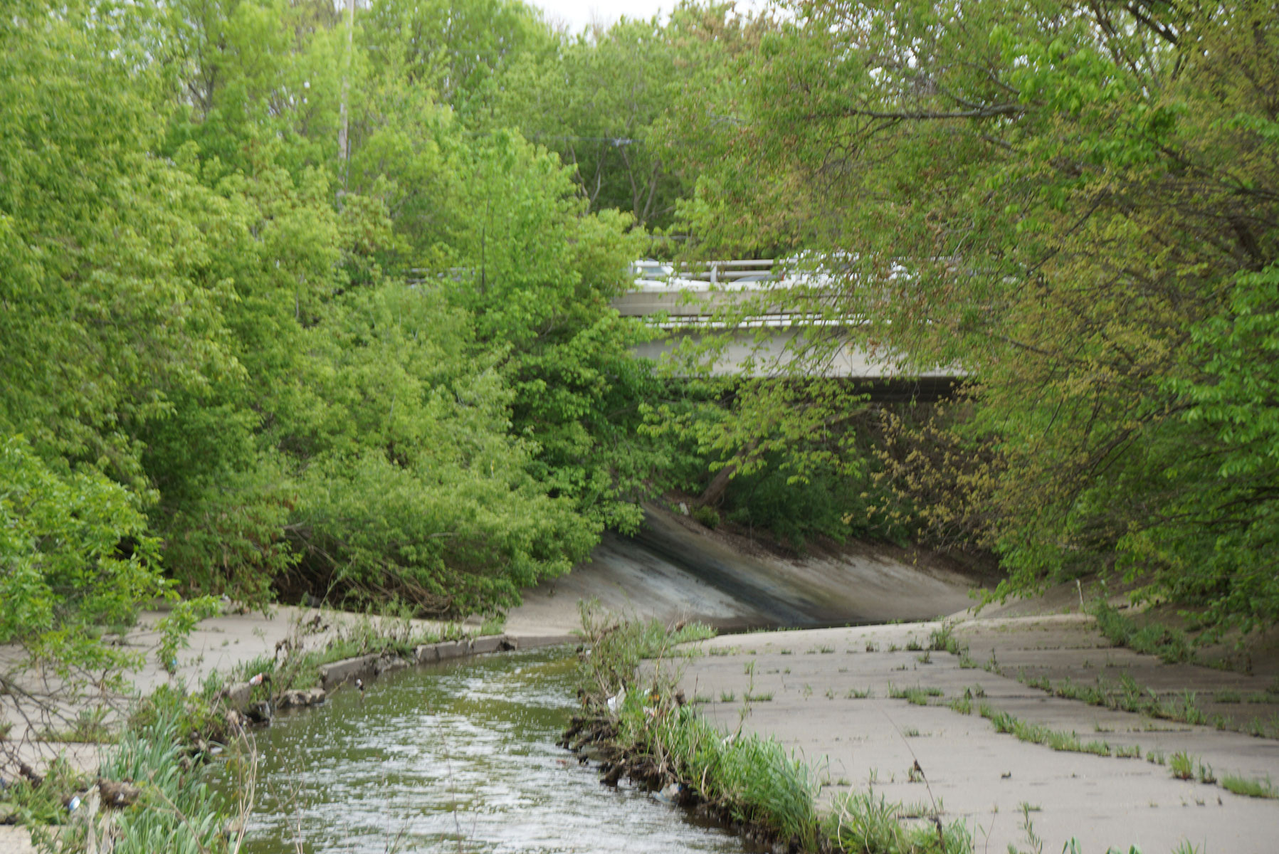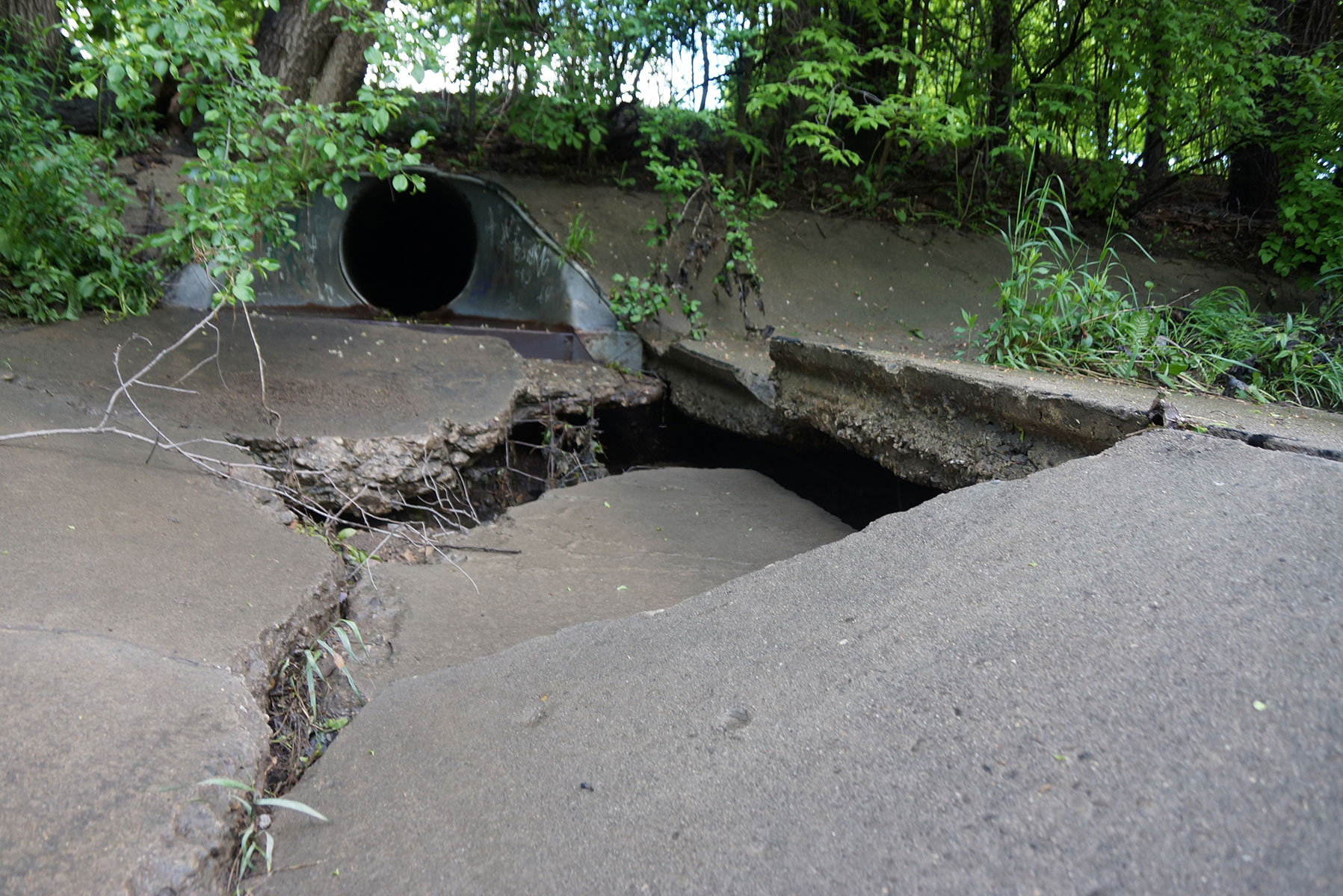
The waterway cuts through the heart of Milwaukee and was one of its founding rivers, yet it supports no aquatic life and unsuccessful flood management efforts of the 1960s transformed it into a graffiti covered concrete channel that resembles a drainage canal today.
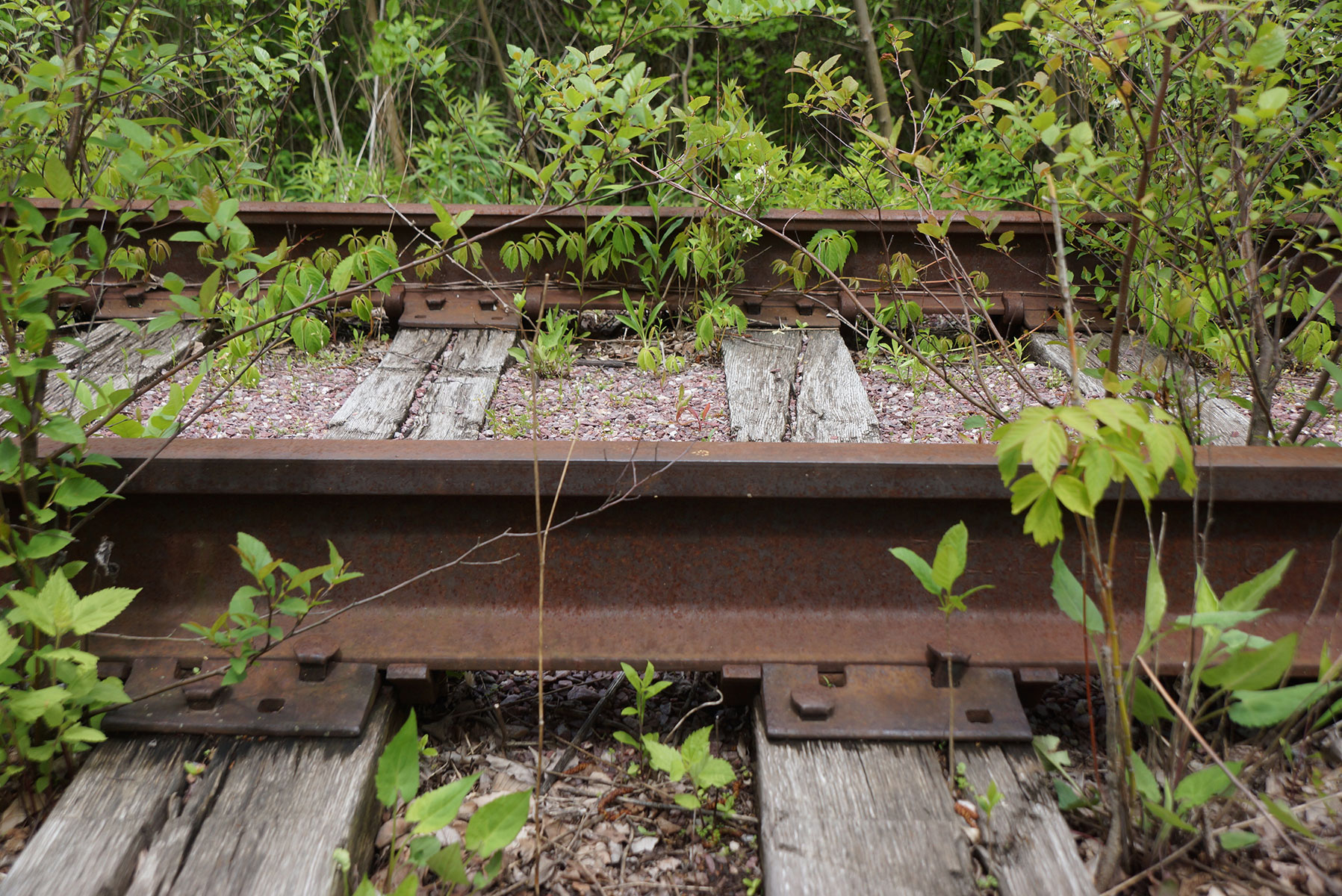
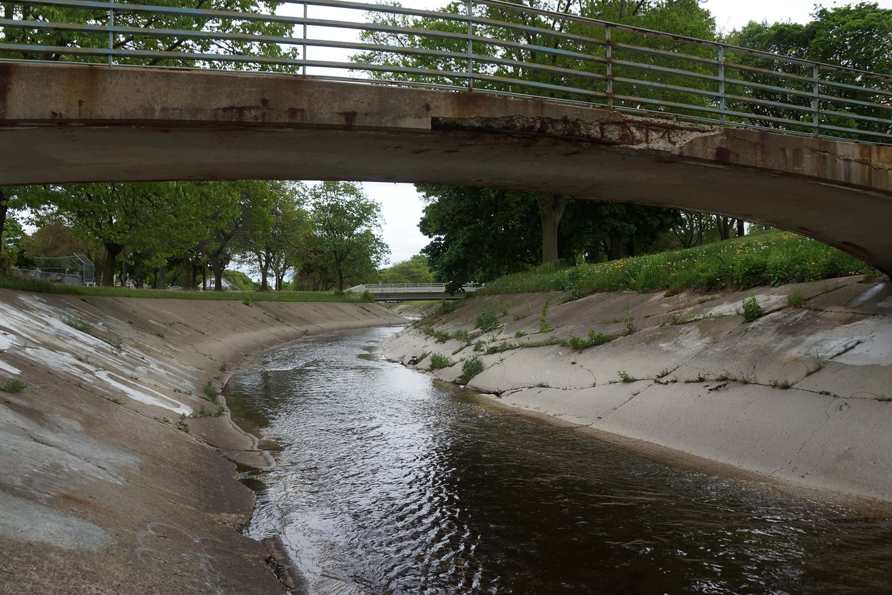
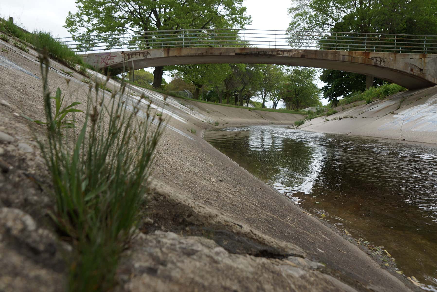
One of the three intersecting rivers that drew traders and settlers to build Milwaukee along its riverbank, the Kinnickinnic (KK) River has been referred to a Milwaukee’s Lost River in modern times. Flowing through Southside neighborhoods, the river can easily be mistaken for a a concrete drainage ditch.
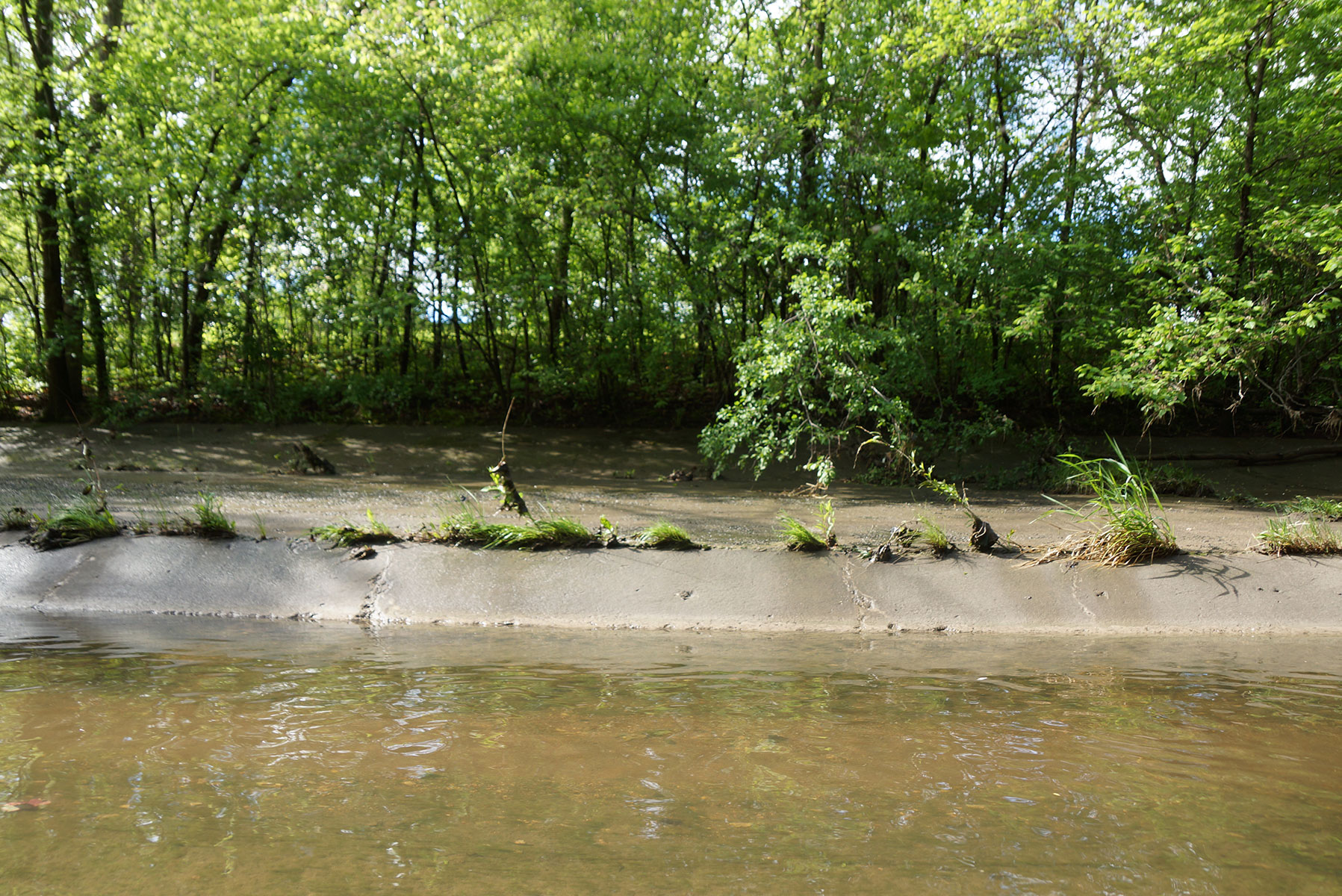
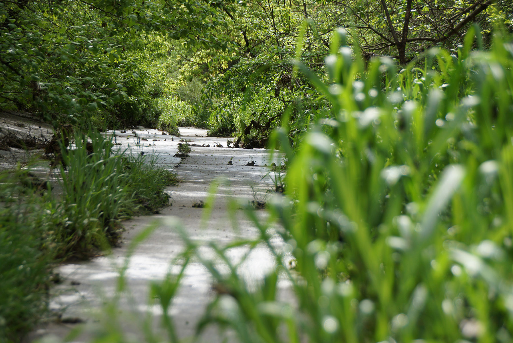
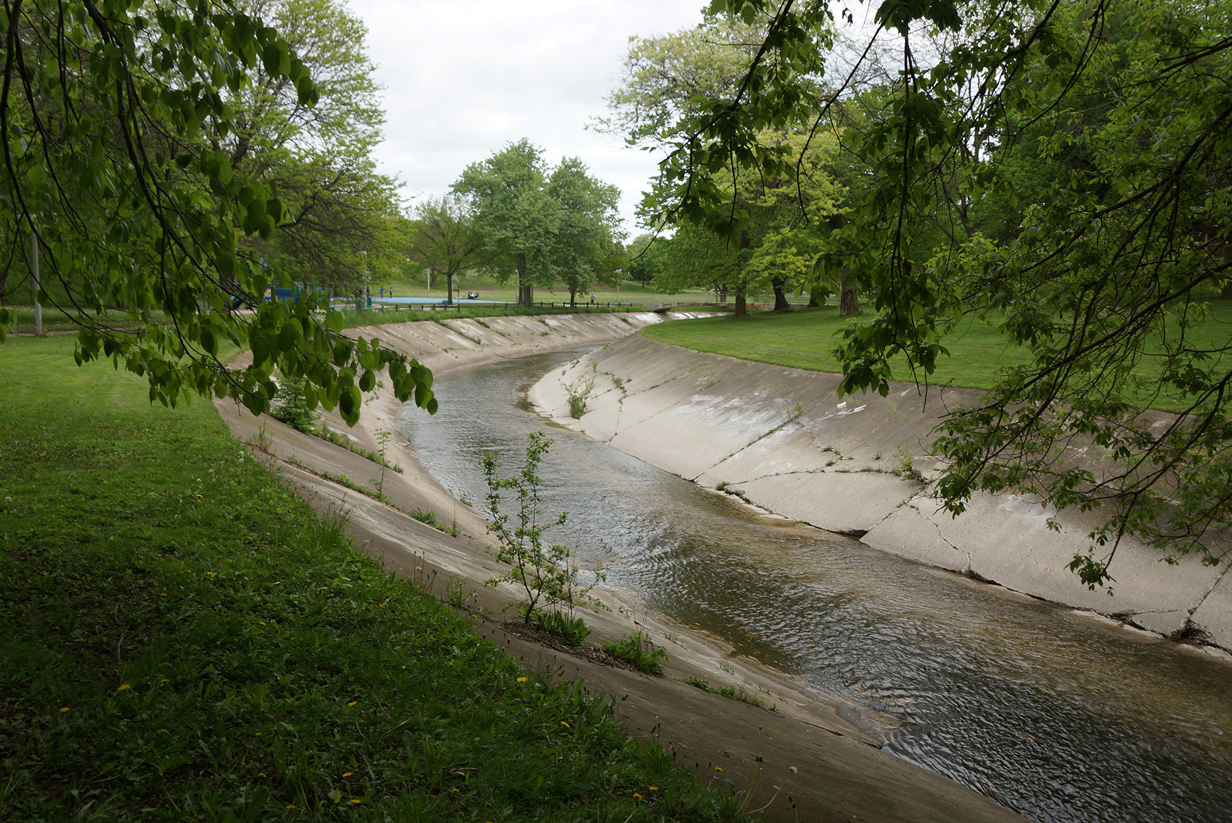
In 2011, workers removed 1,000 feet of concrete along a stretch of the river from the I-94 bridge to 6th Street. The channel was widened and retaining wall erected to prevent erosion. A similar reclamation project is pending for Pulaski Park, with plans to remove close to 2,000 feet of decaying concrete and restore the waterway to a healthier ecosystem in spring of 2018, if the project is approved.
“By removing concrete and completing this dynamic project, we’re reducing the risk of flooding for hundreds of homes, some that have seen multiple years of flood damage,” said Ben Gramling, Commission Chair of the Milwaukee Metropolitan Sewerage District (MMSD). “We’re investing in stronger neighborhoods, economic development, and quality of life.”
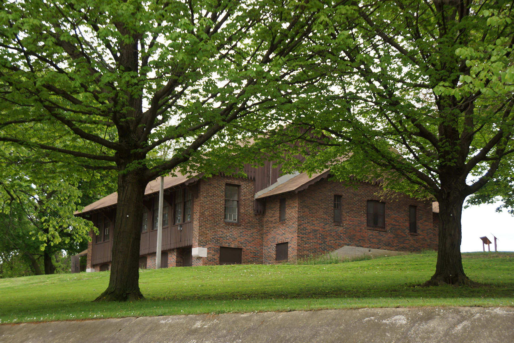
The plan will implement a green infrastructure to reduce runoff and mitigate pollutants before they reach the river, restore the 26-acre Pulaski Park and its 100 year old park pavilion, develop recreational opportunities, provide bilingual environmental education and stewardship training for residents, and support economic development and housing improvements.
When Milwaukee became a city in 1846, wild rice beds flourished at the mouths of the Kinnickinnic, Menomonee, and Milwaukee Rivers. However, wild rice is sensitive to water pollution and it stopped growing as the city expanded and dumped its manufacturing waste into the tributaries.
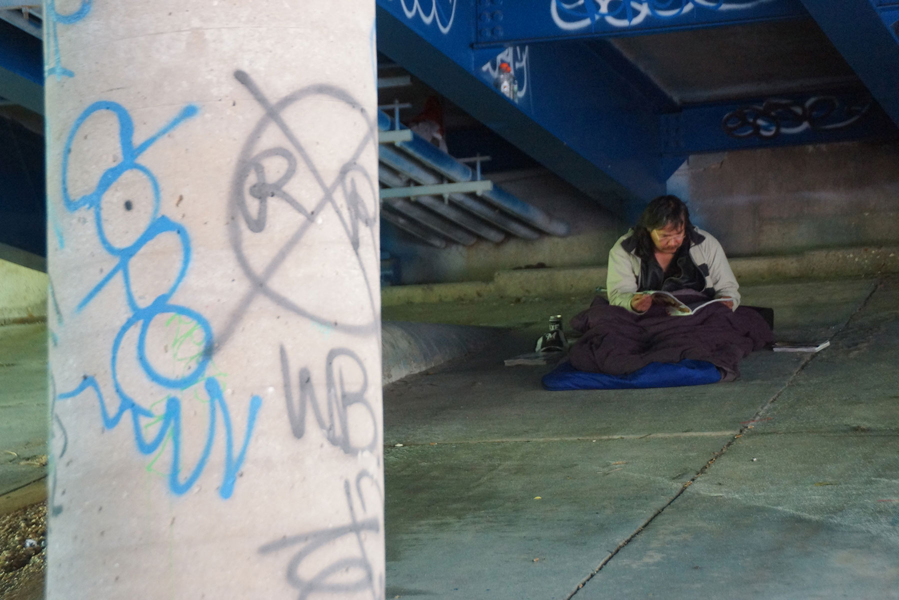
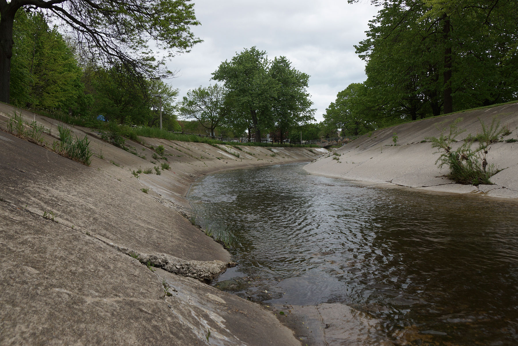
Tightly bound by residential properties, the Kinnickinnic River is lined with miles of concrete, an outdated form of flood management that actually makes the waterway dangerous during heavy rain with powerful currents that have claimed lives. The engineering also devalued utilization of the KK as an urban waterway. The river was once a tree-lined stream with natural springs, fishing holes, and abundant wildlife before being channelized in the early 1960s. It stretches 9.6 miles with a watershed that covers 25 square miles of drainage area. The Kinnickinnic River Watershed is the most heavily urbanized, densely populated watershed in the State of Wisconsin. More than 660 homes and businesses remain in the floodplain, and roughly 145,000 people live in the watershed.
The six Milwaukee County communities within the watershed are the City of Milwaukee, City of Greenfield, City of West Allis, City of Cudahy, Village of West Milwaukee, and the City of St. Francis. The Kinnickinnic River Corridor Neighborhood Plan envisioned the waterway’s restoration as a jewel of the community, particularly for the Southside, to become a ecological greenway and habitat for wildlife, plus act as a generator of new economic opportunities for local businesses and entrepreneurs.
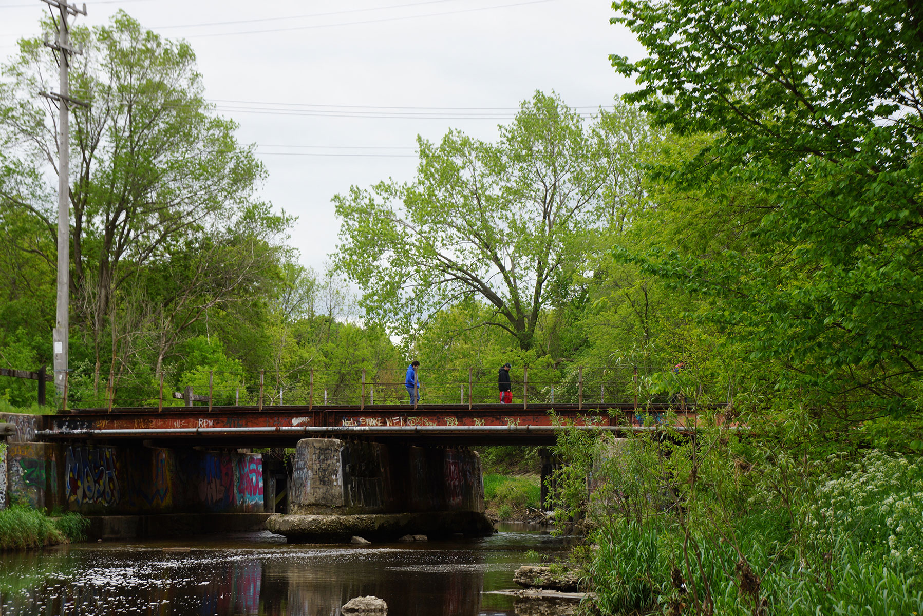
The Milwaukee Independent hiked along 25% of the river’s length, from 36th to 16th Streets. That was 2.25 miles along the 20 city blocks of the curved and concreted waterway south of Forest Home Cemetery, beyond the 6th Street end of the Kinnickinnic River Trail. Extended coverage of this story includes a map that details the hike route, and photo essay that focuses on the condition of and lives alongside the Kinnickinnic River.