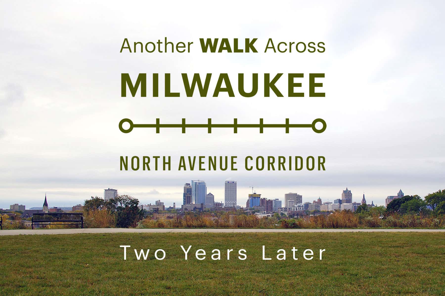
A return look at the city’s slow shift from decay to renewal
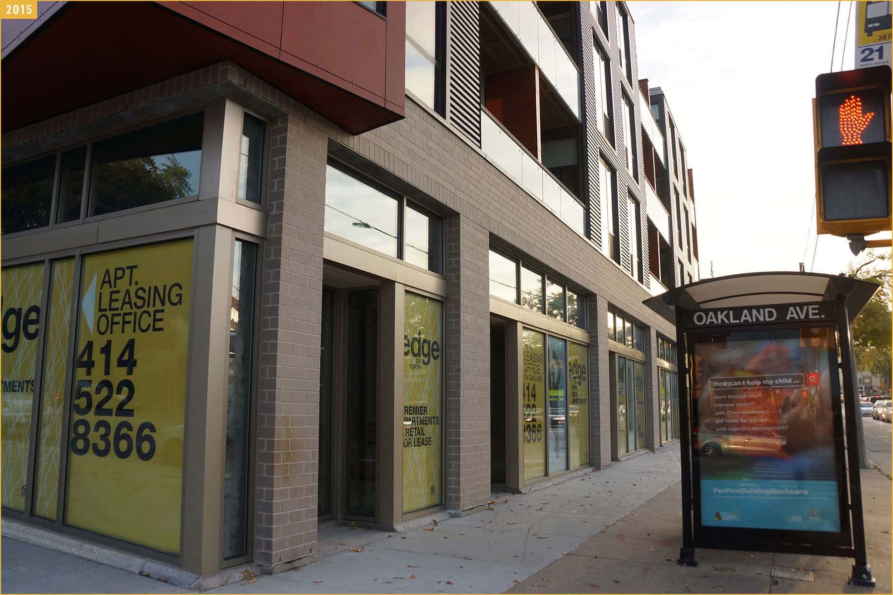
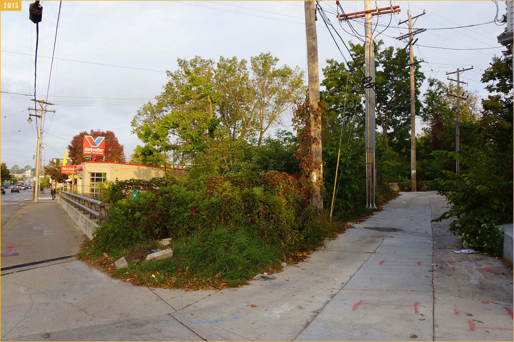
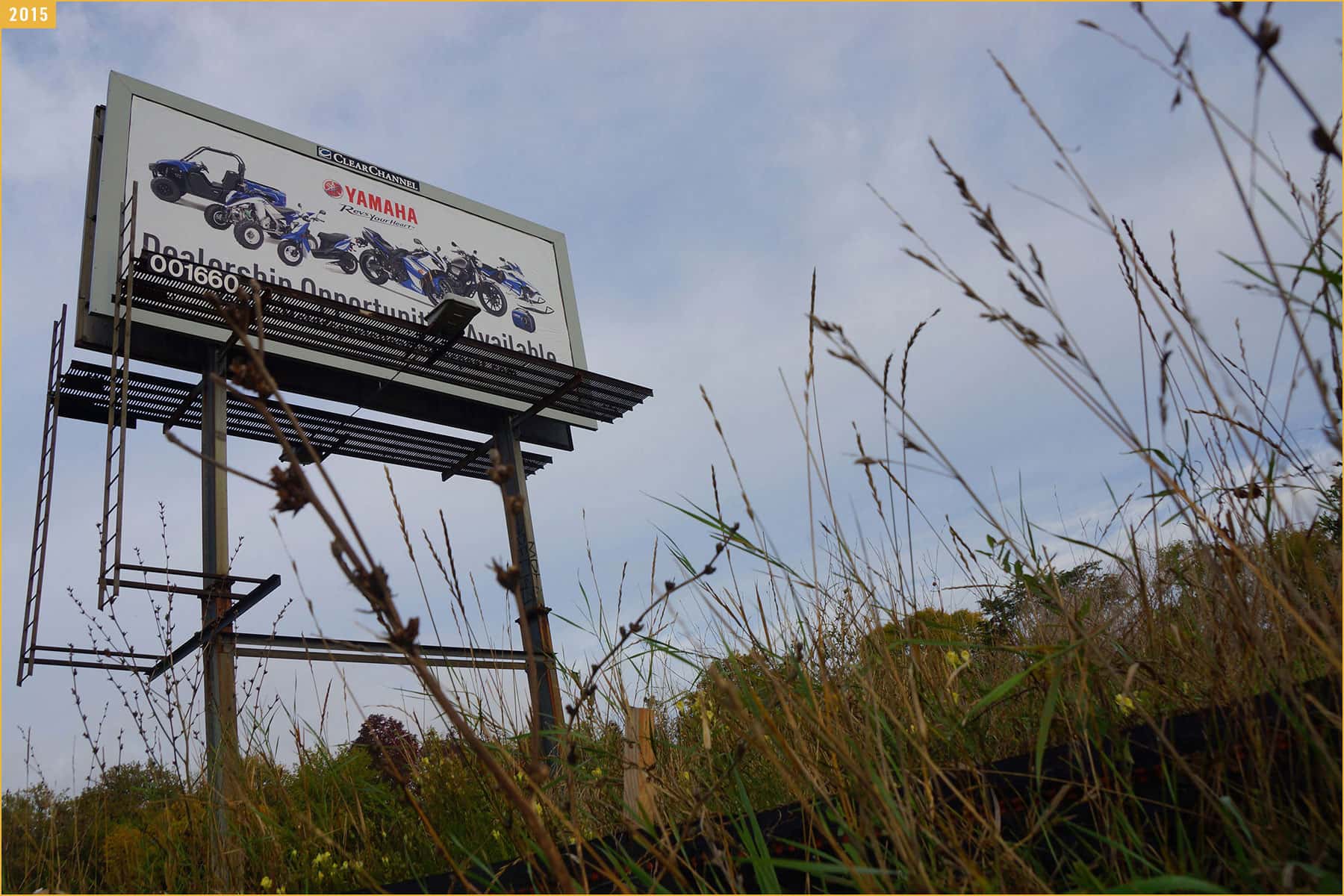
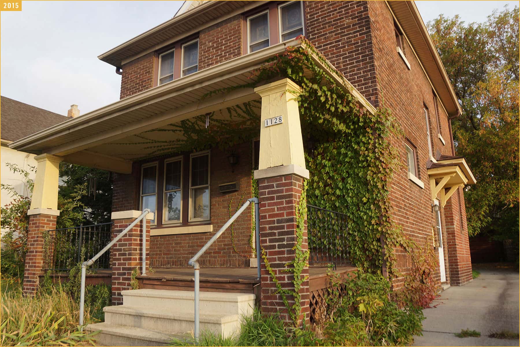
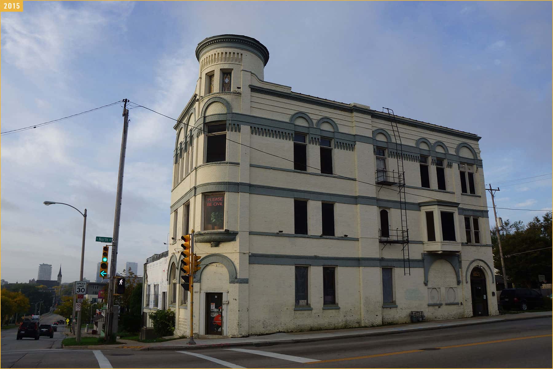
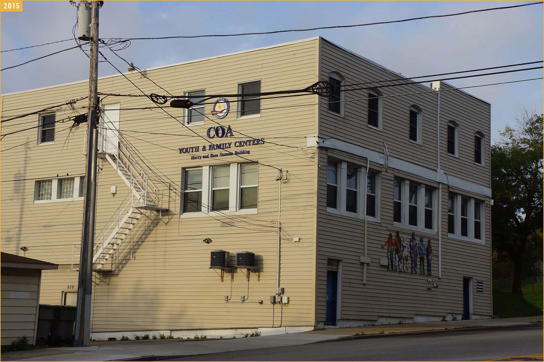
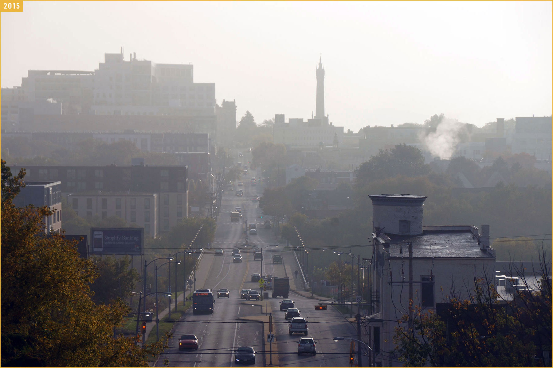
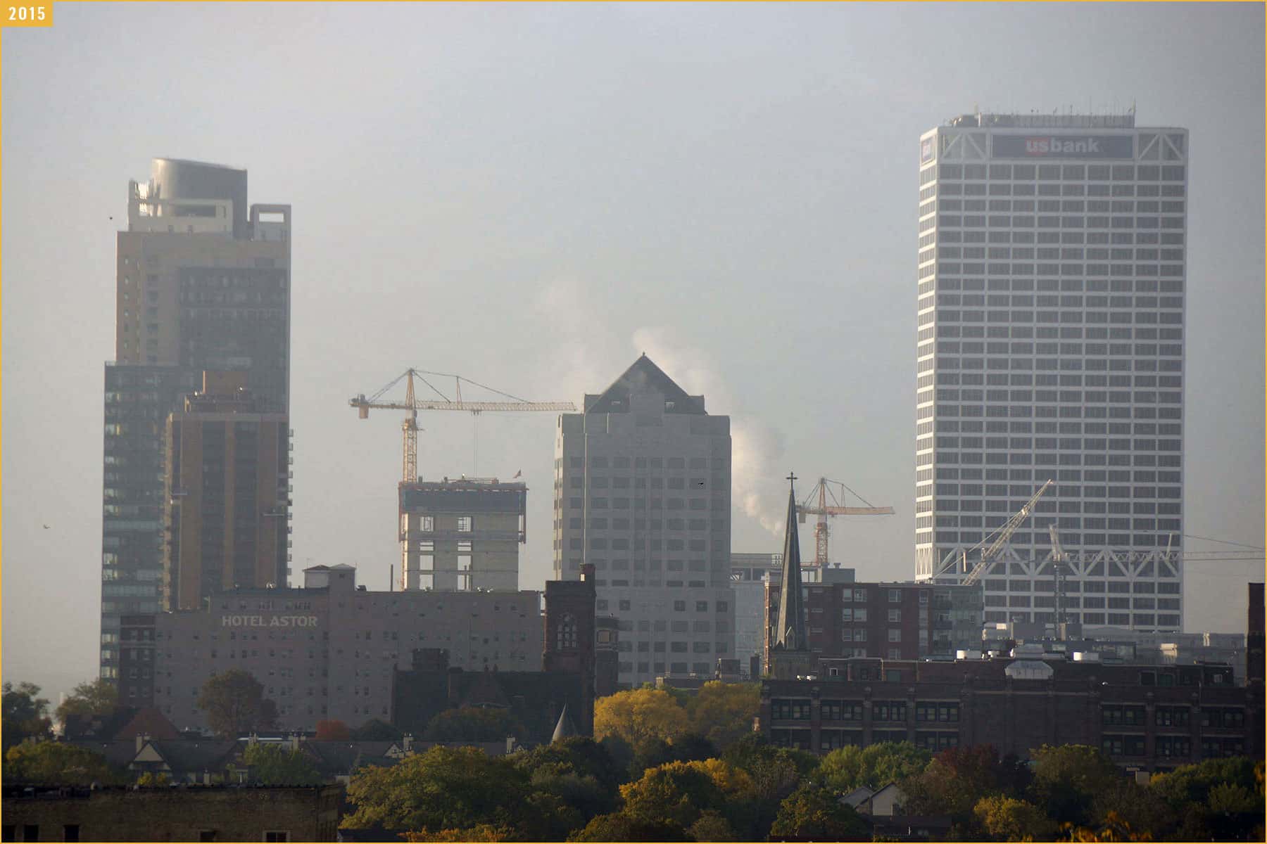
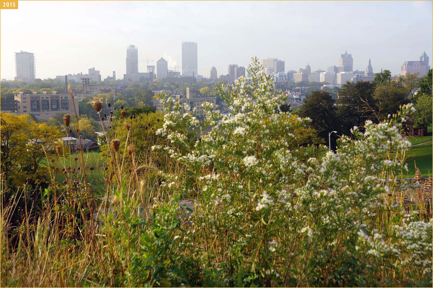
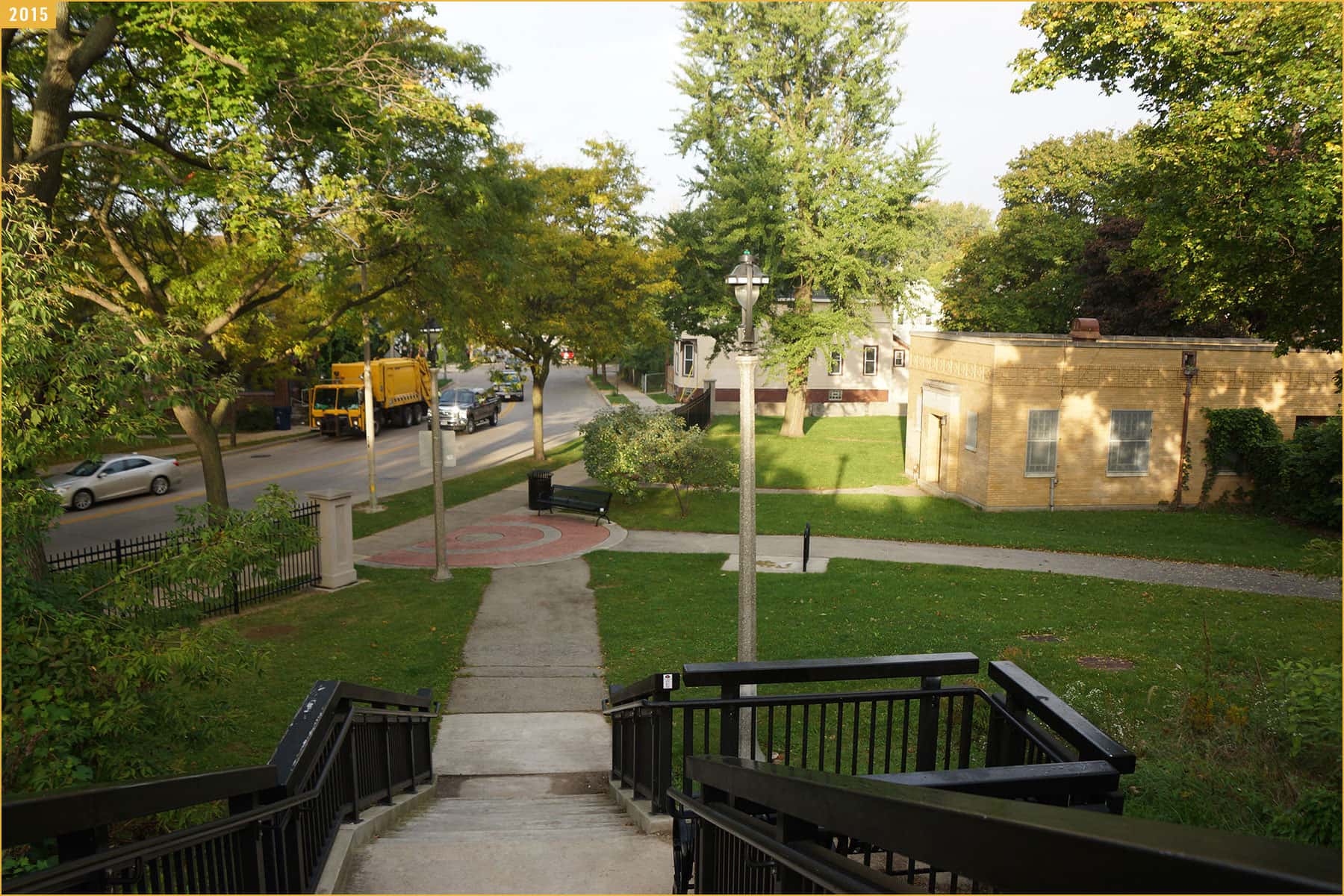
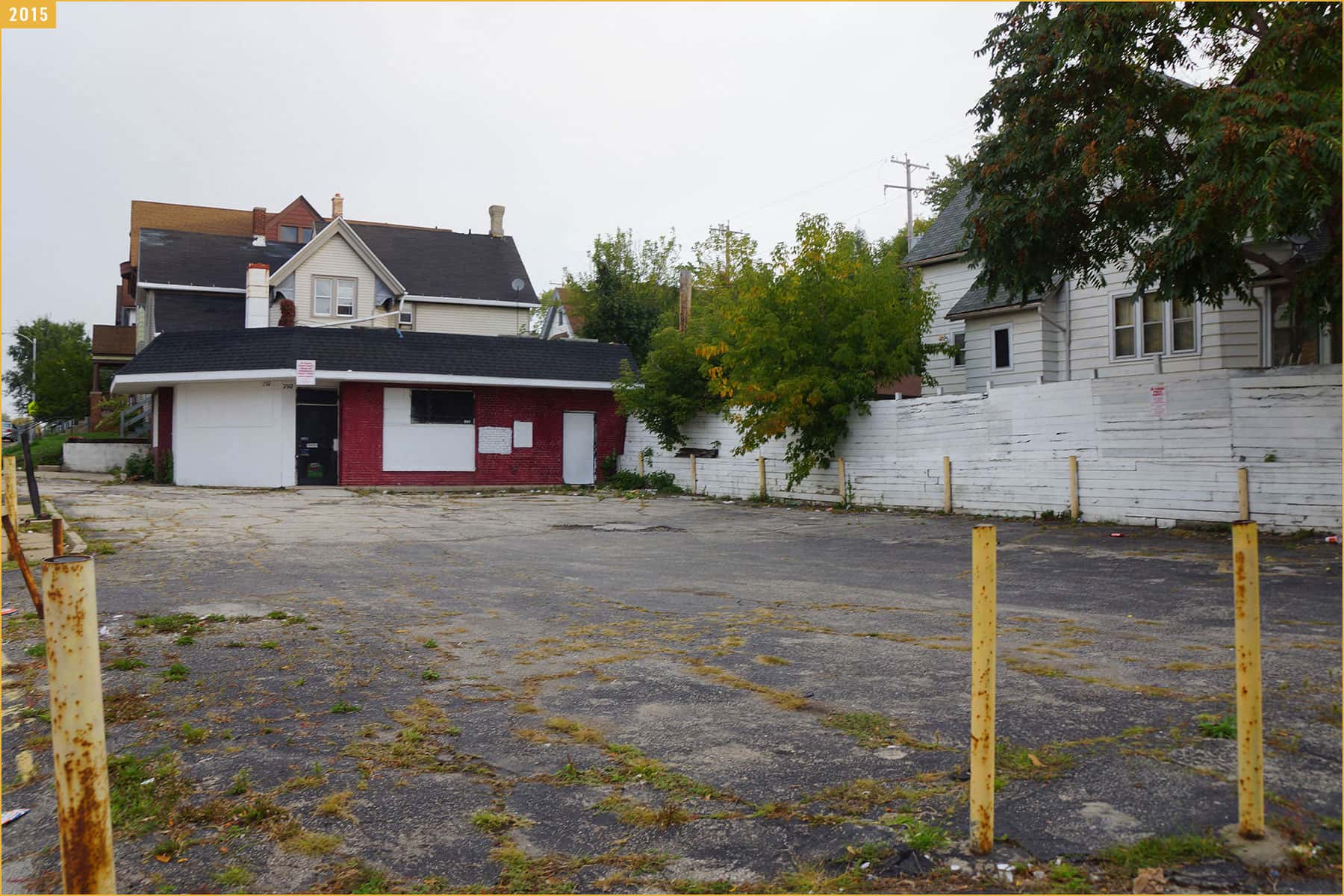
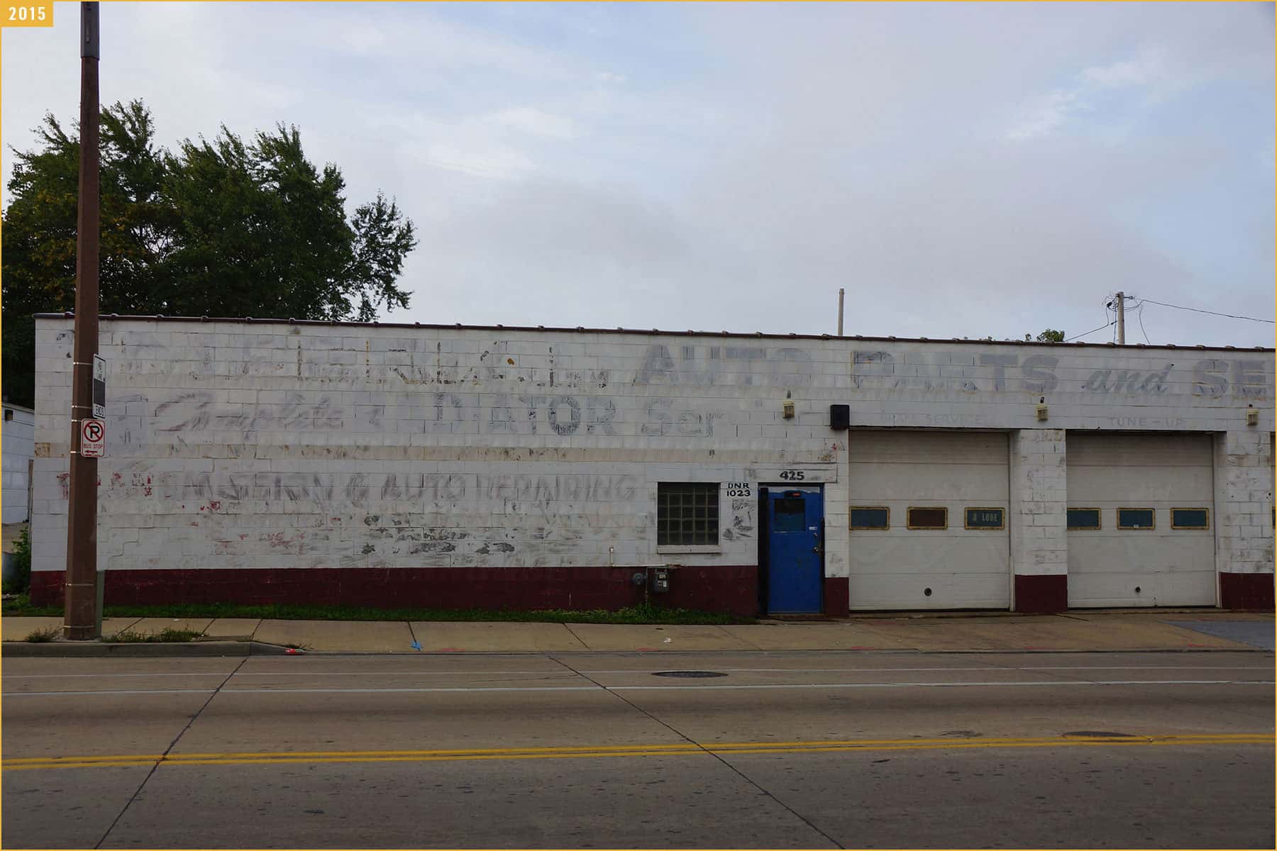
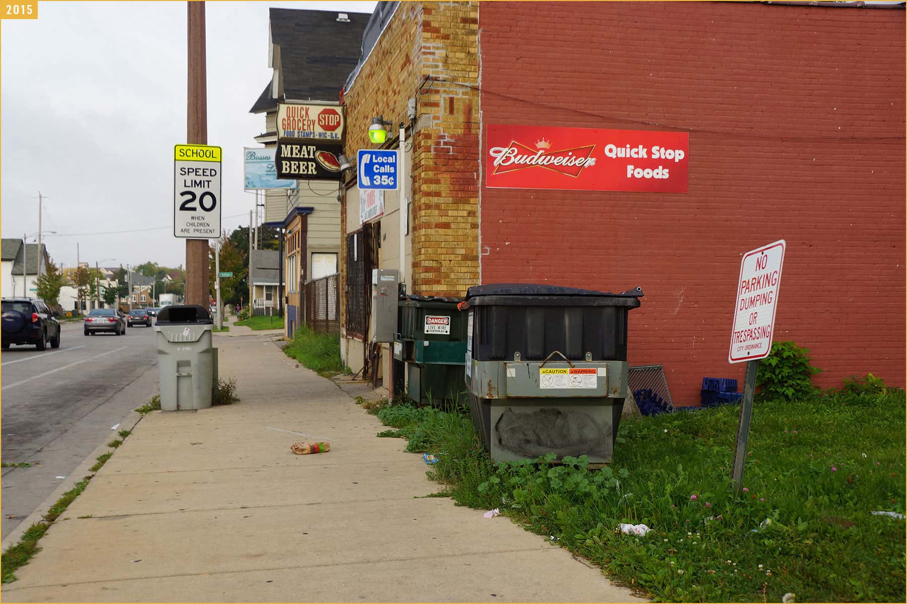
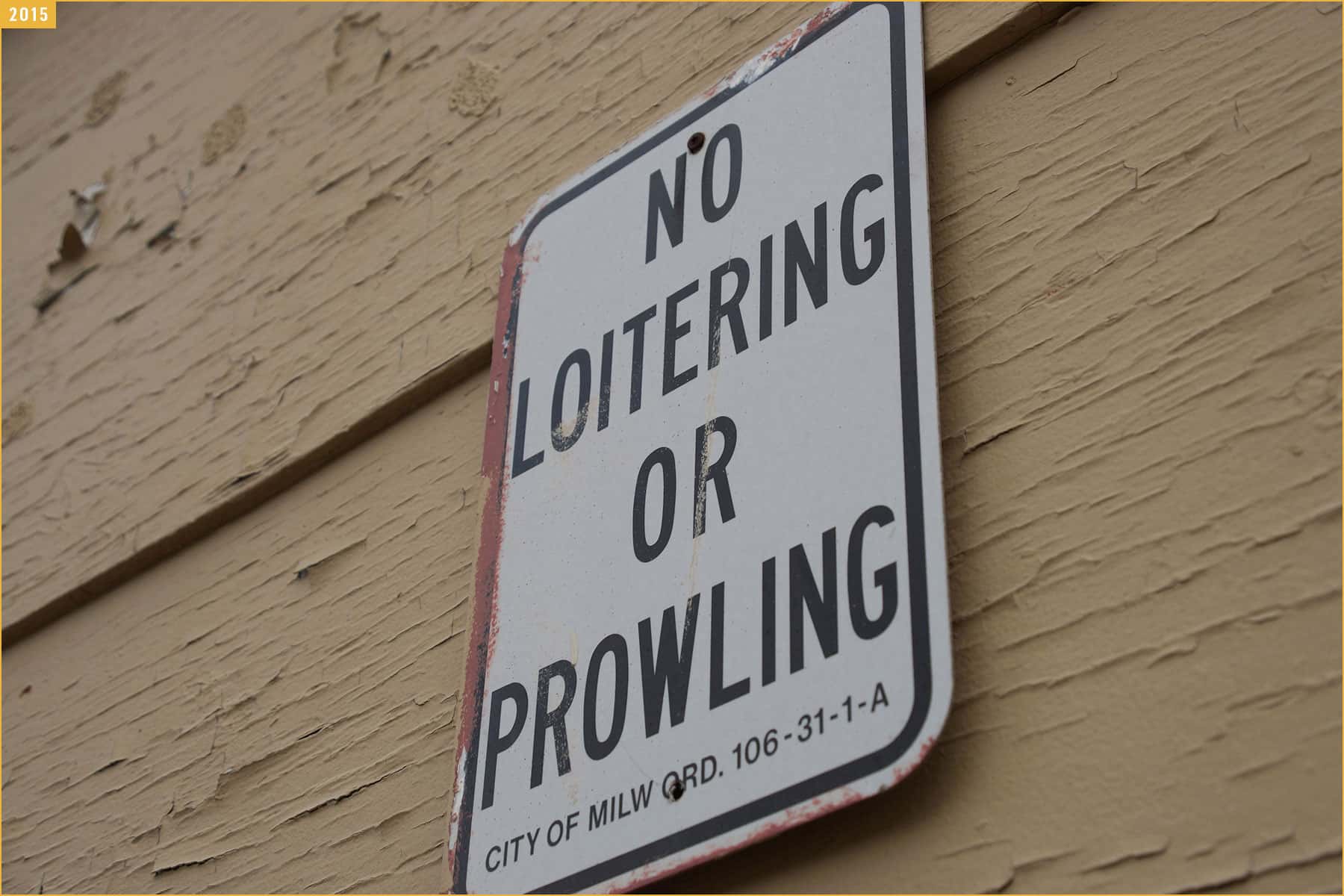
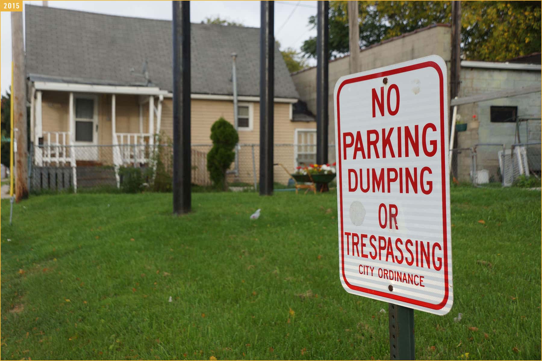
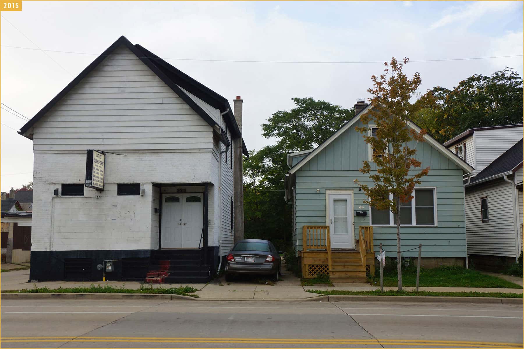
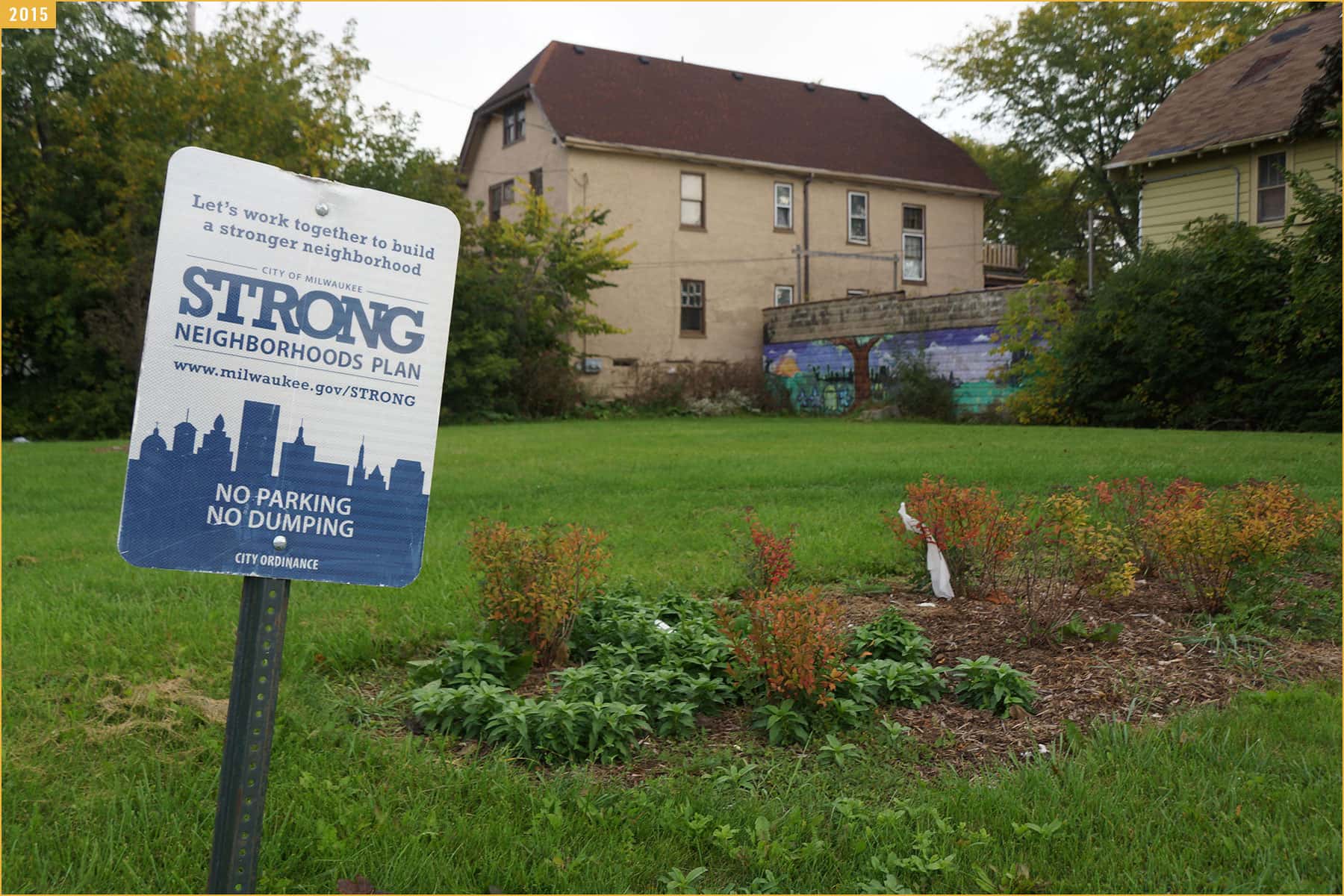
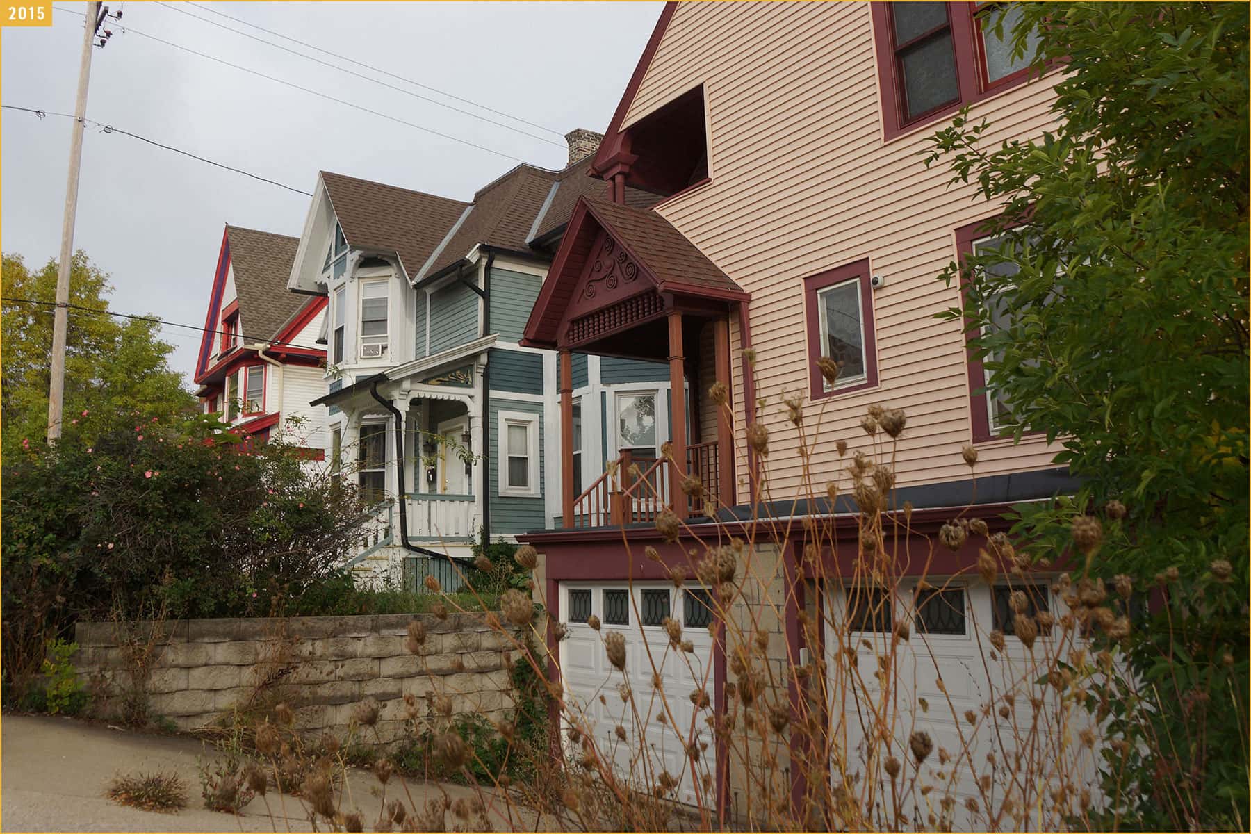
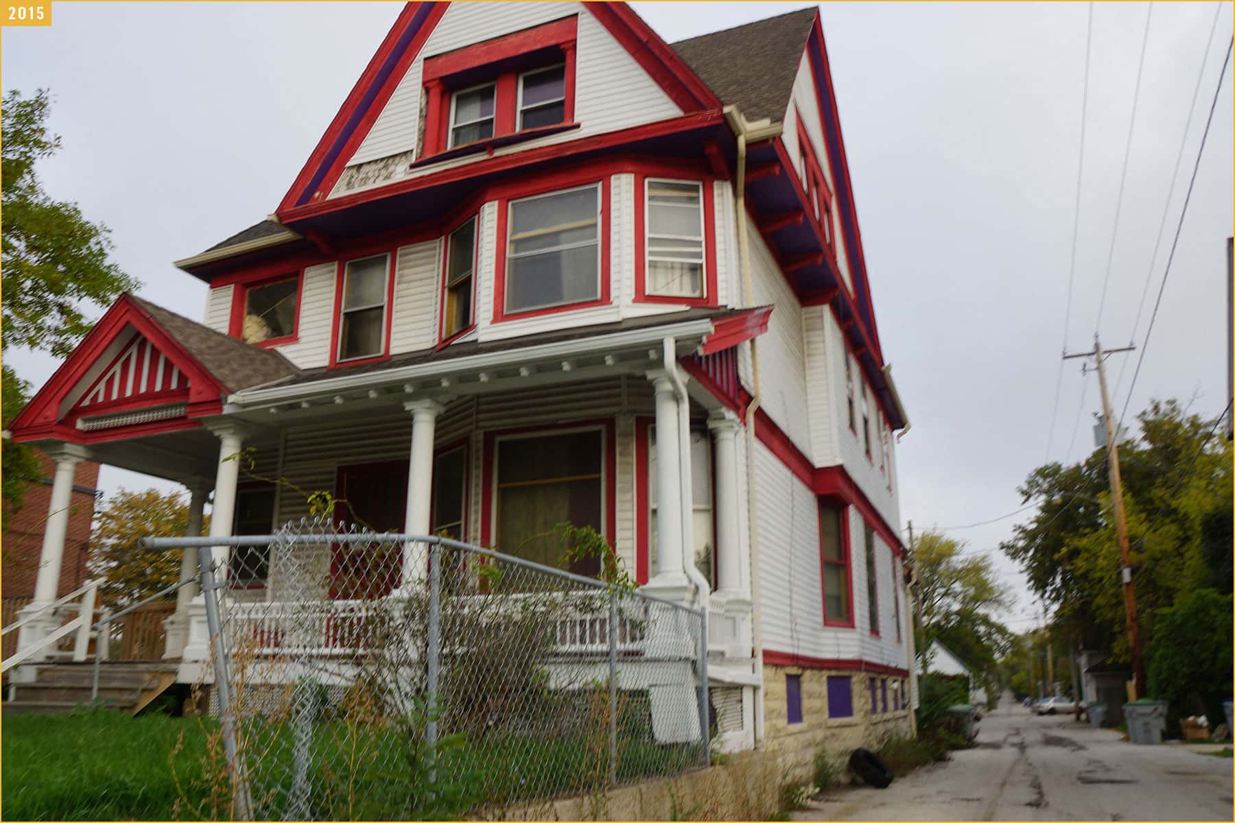
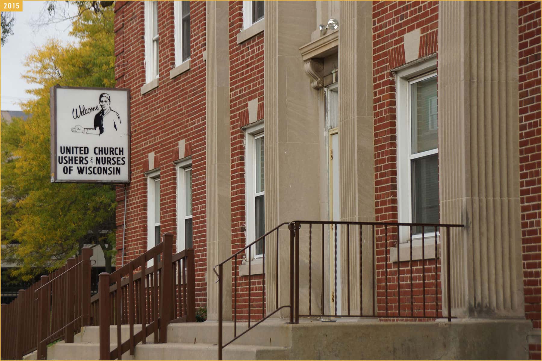
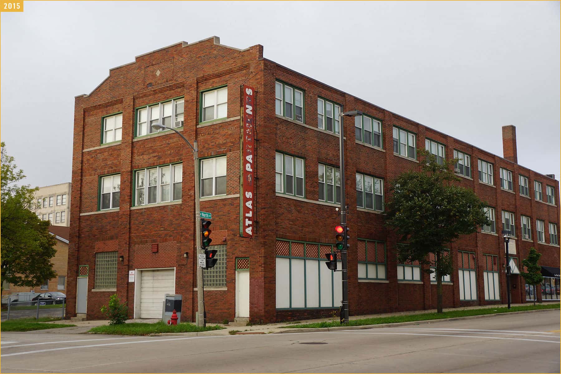
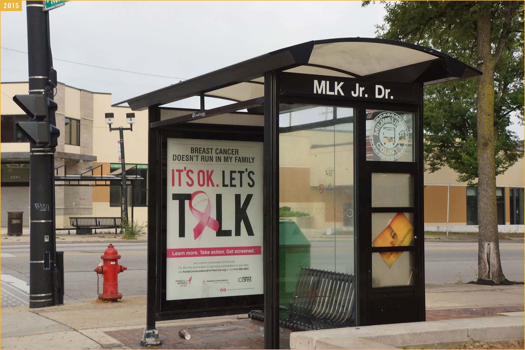
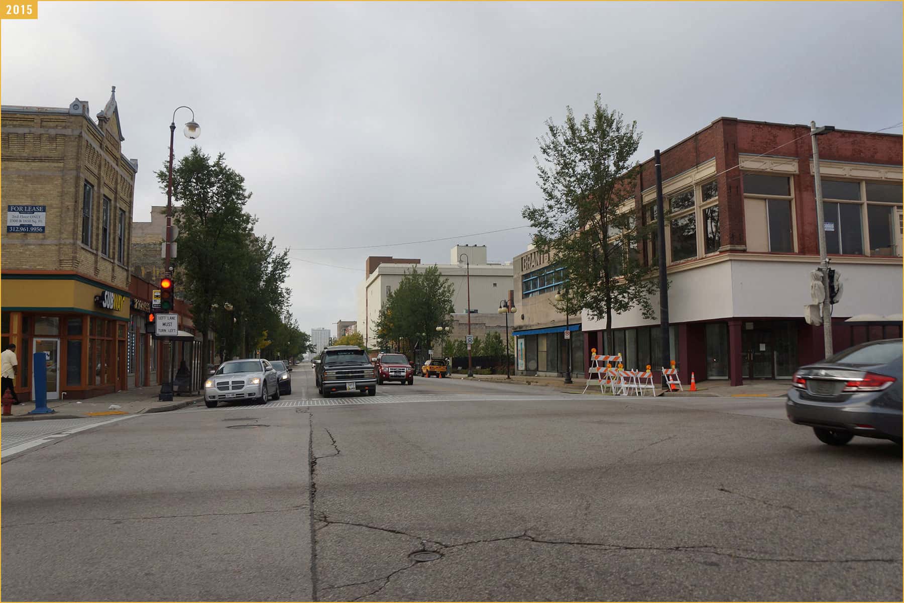
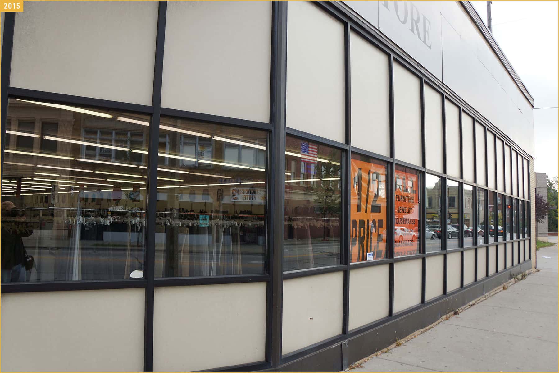
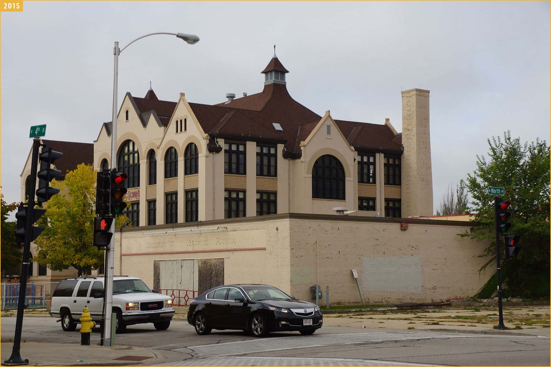
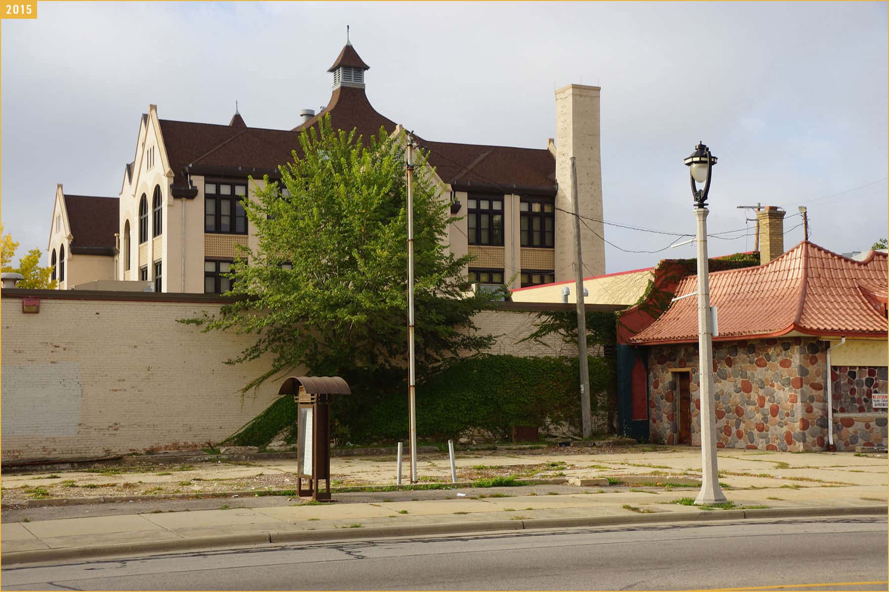
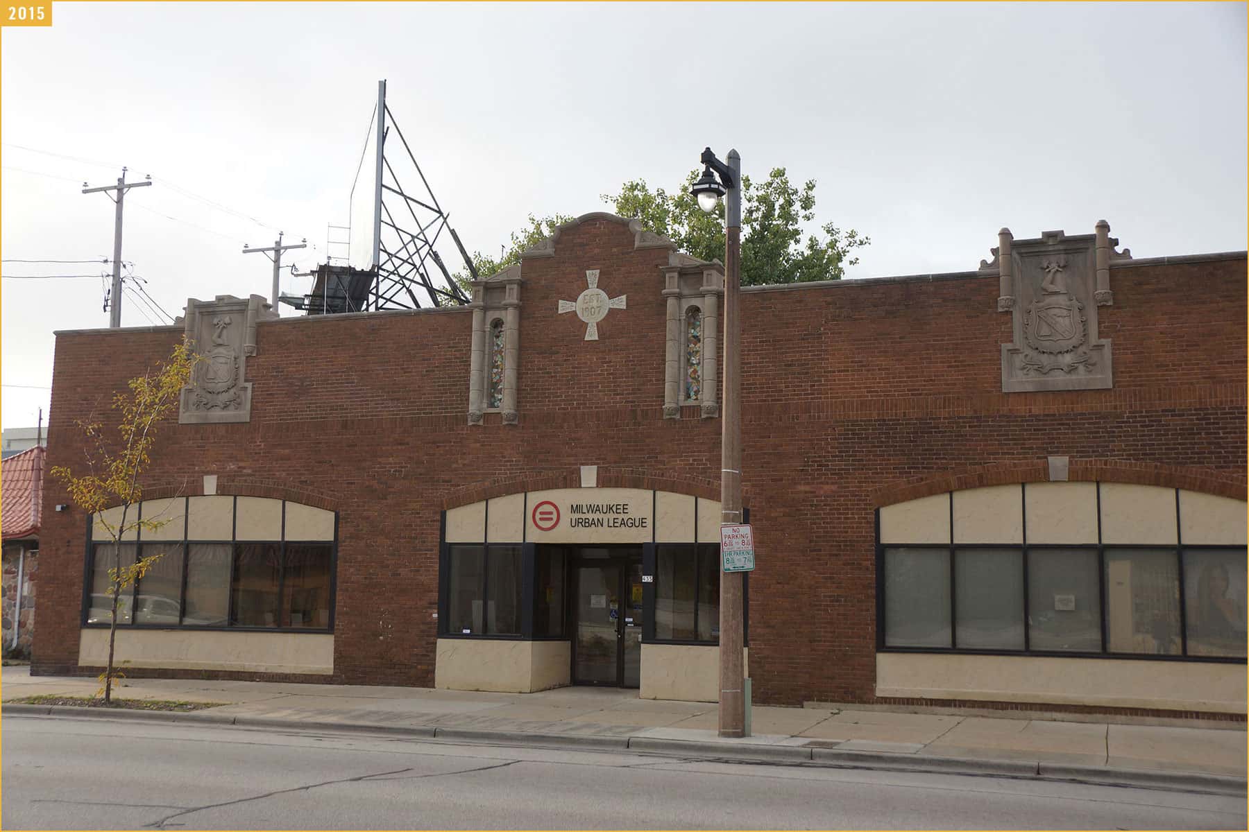
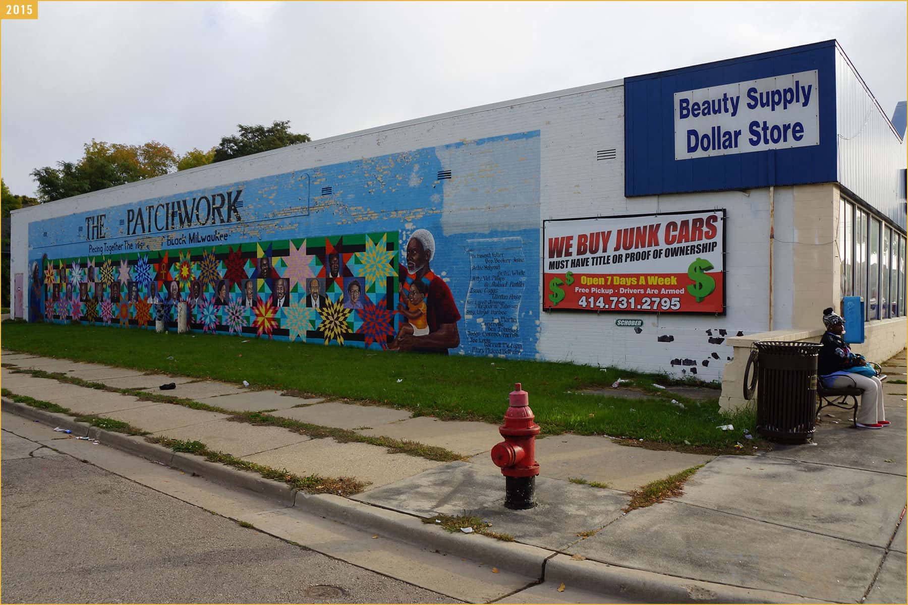
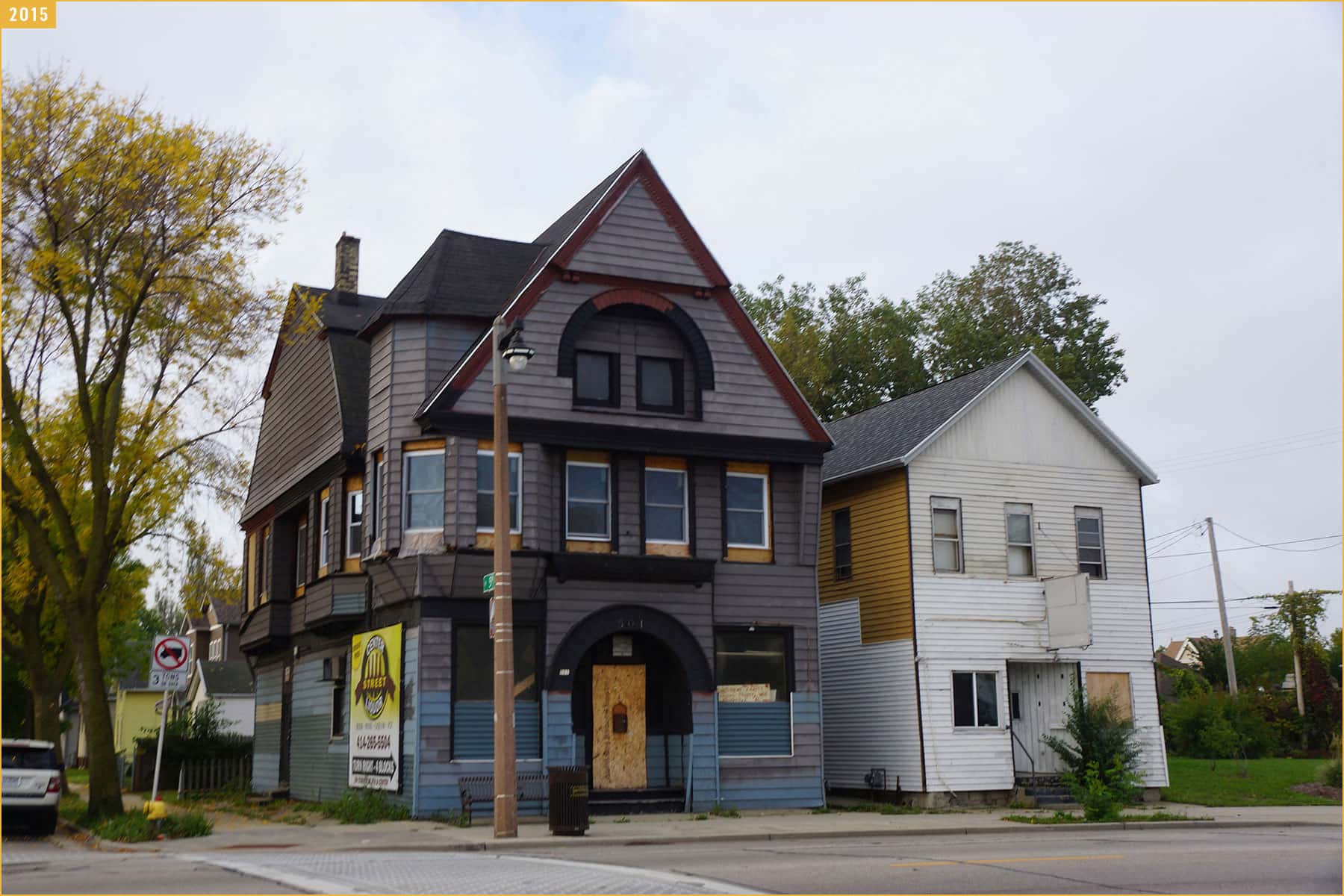
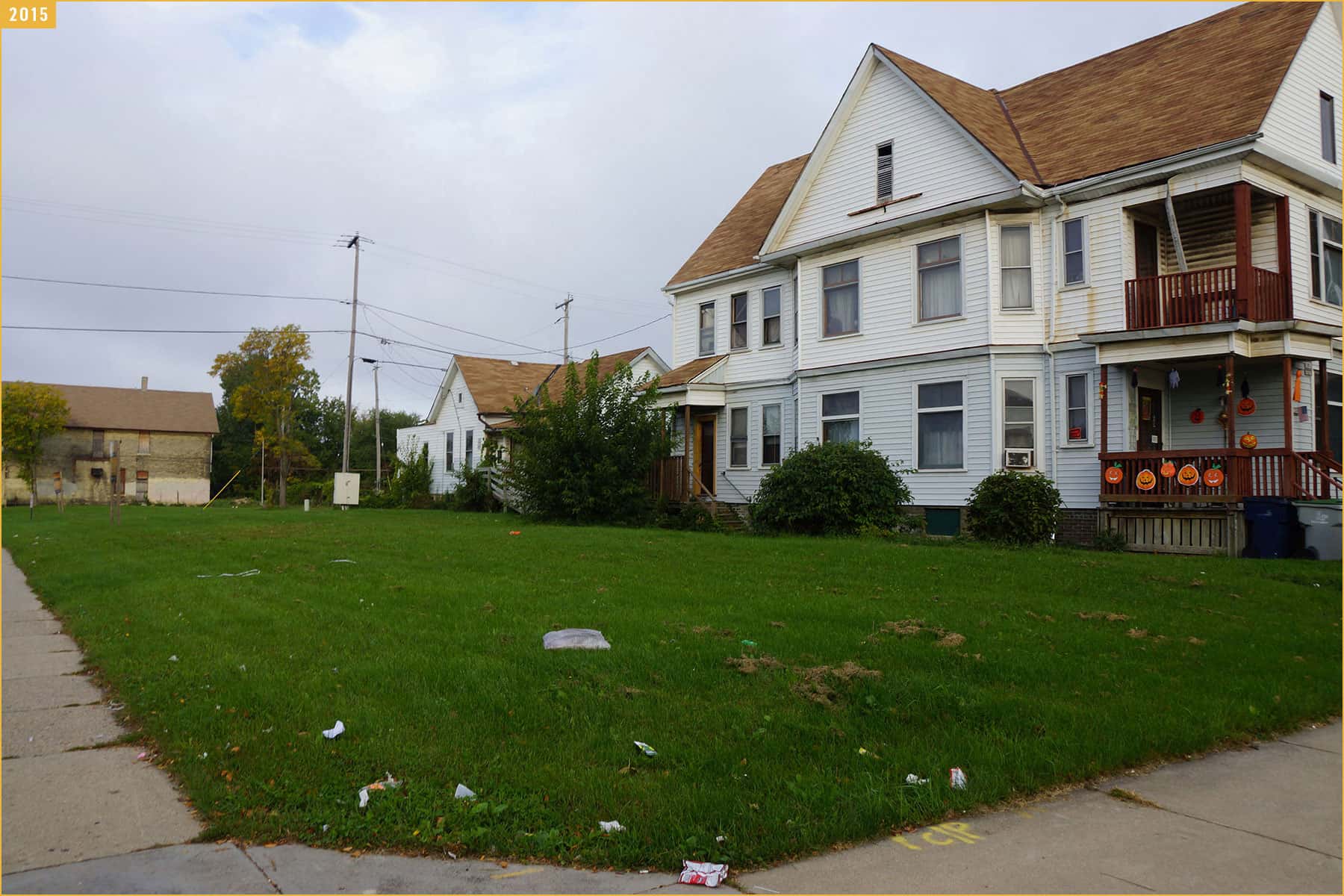
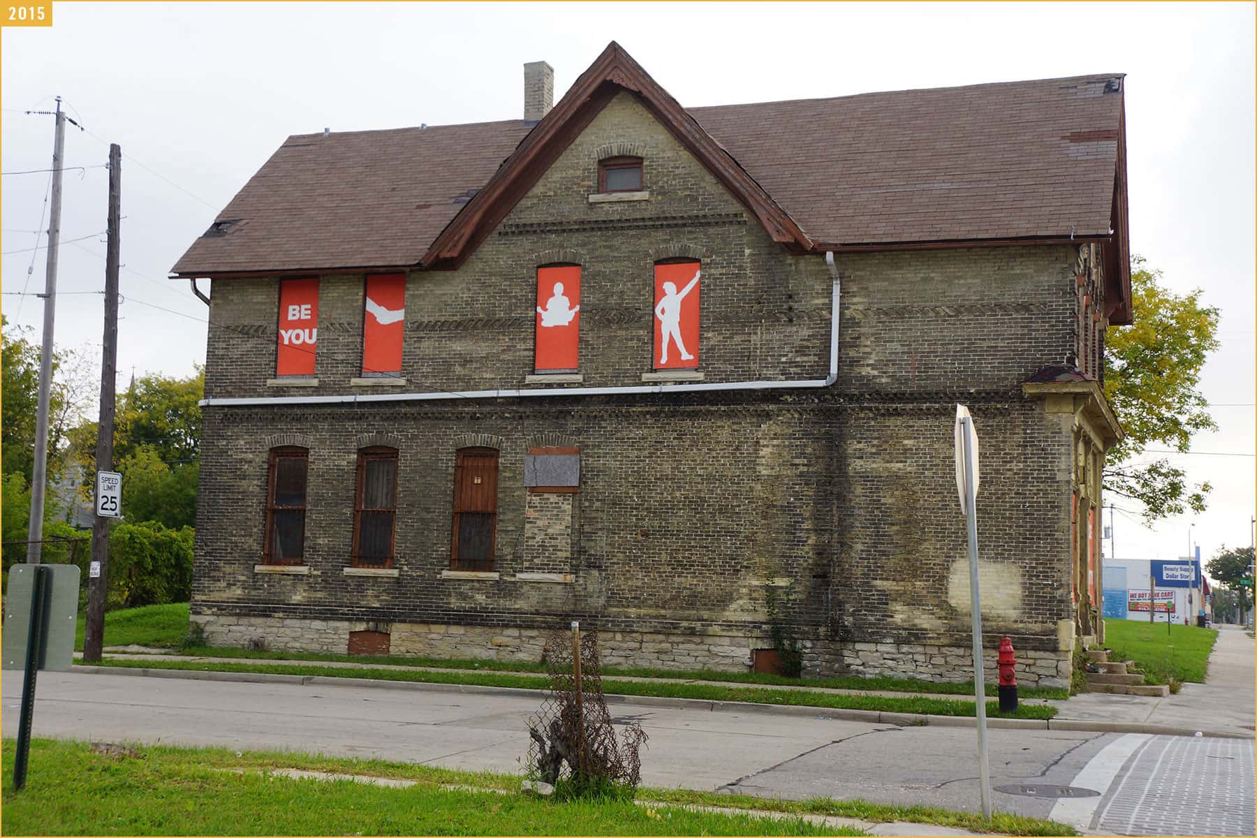
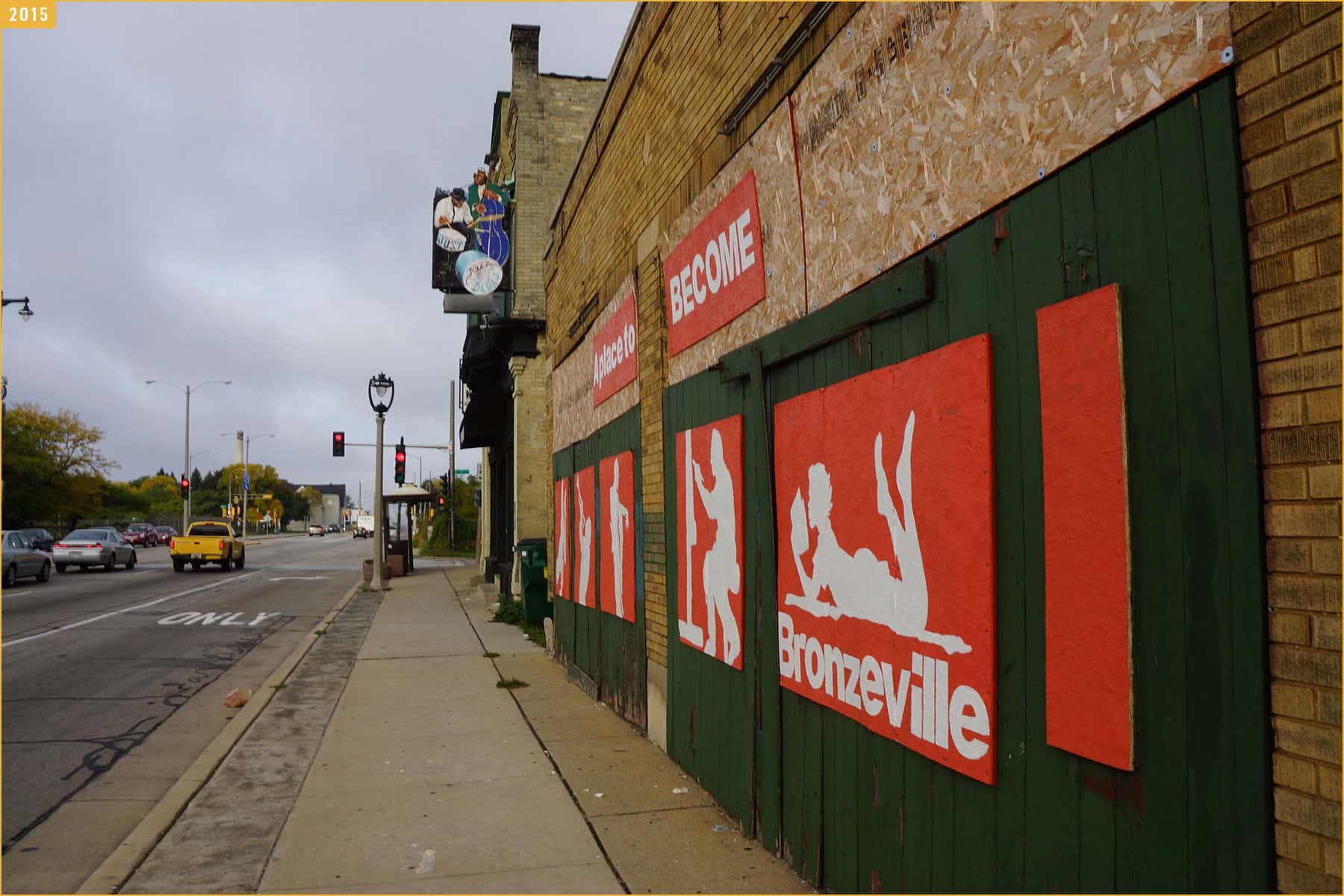
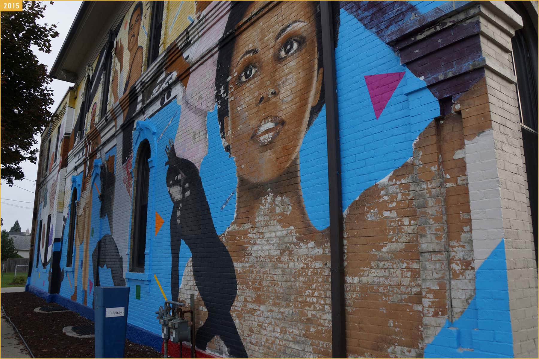
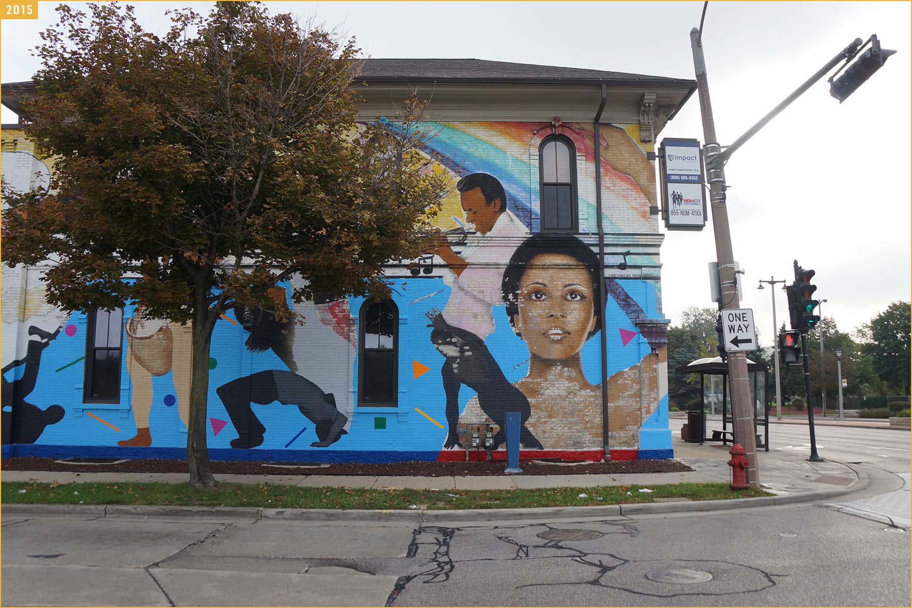
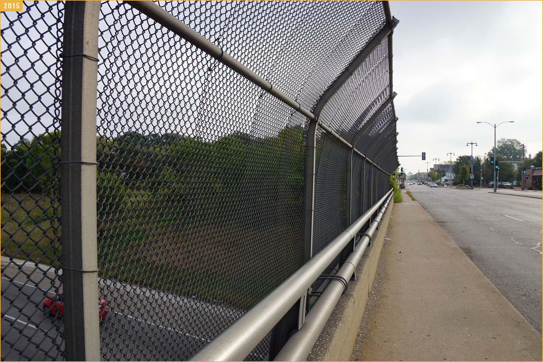
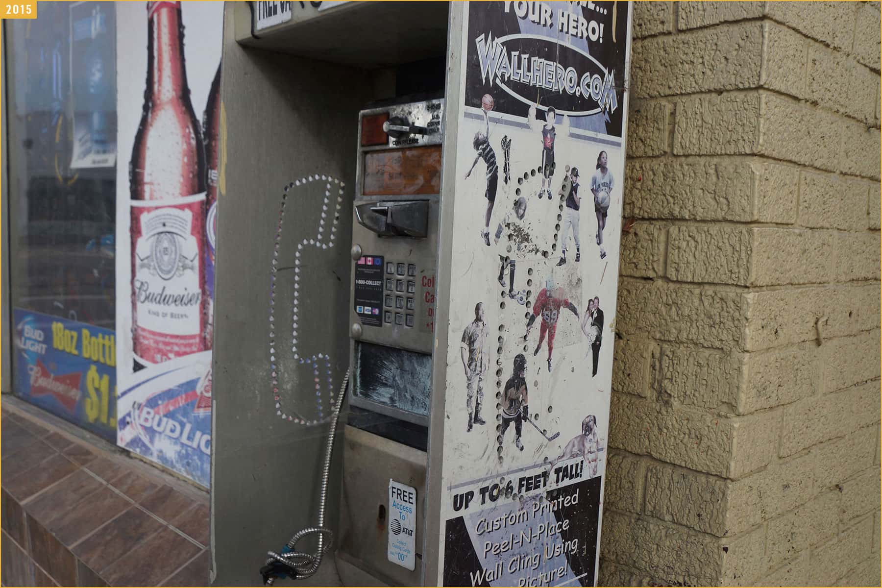
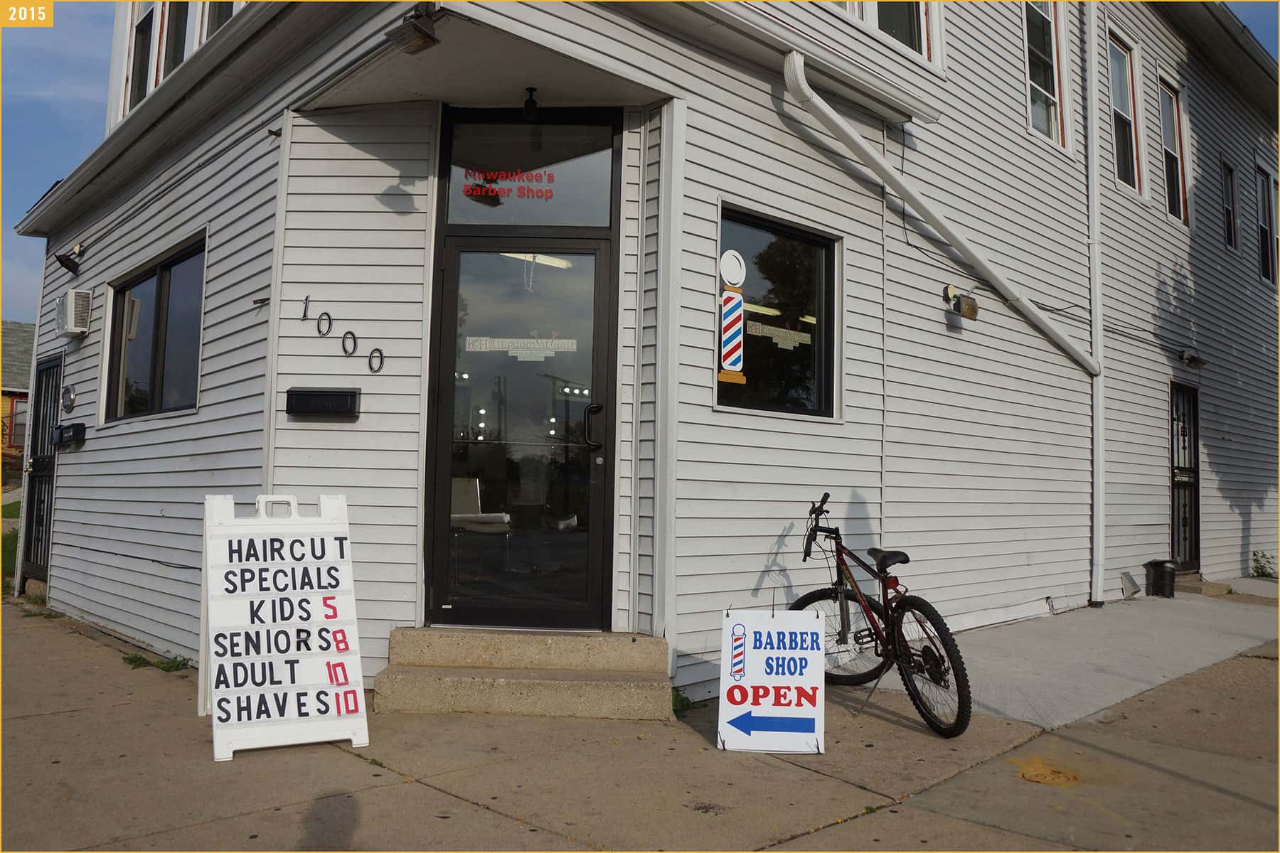
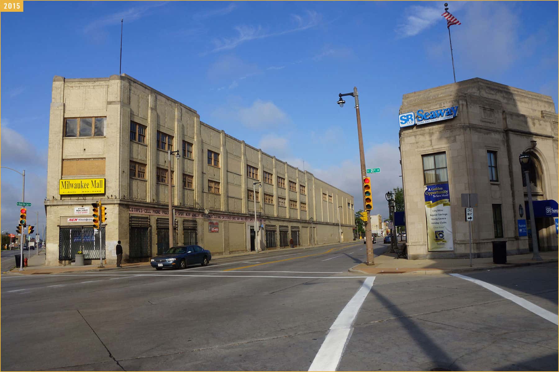
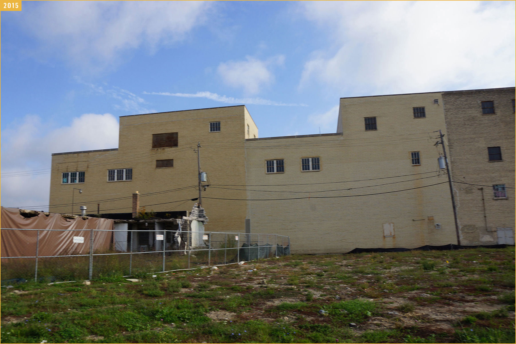
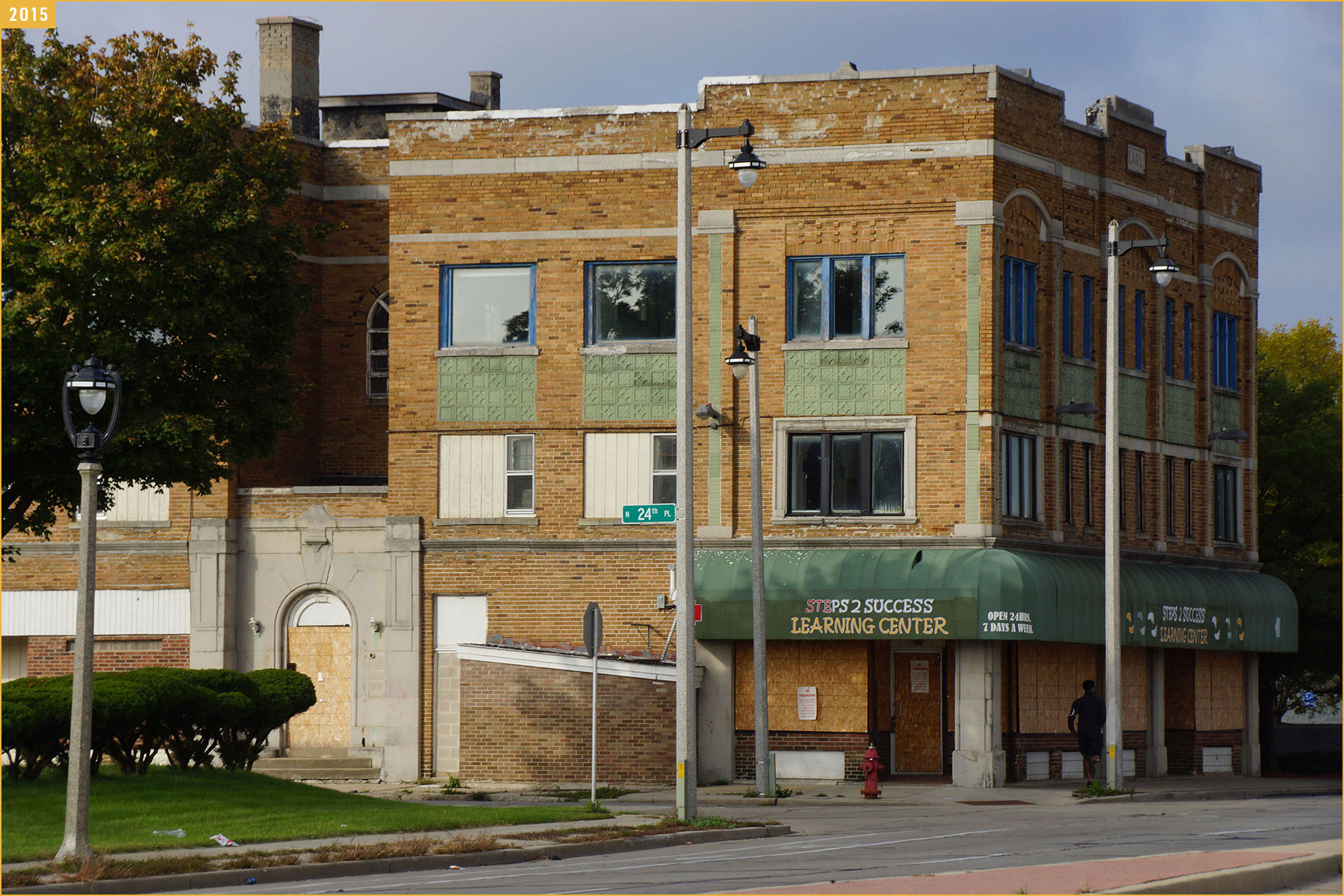
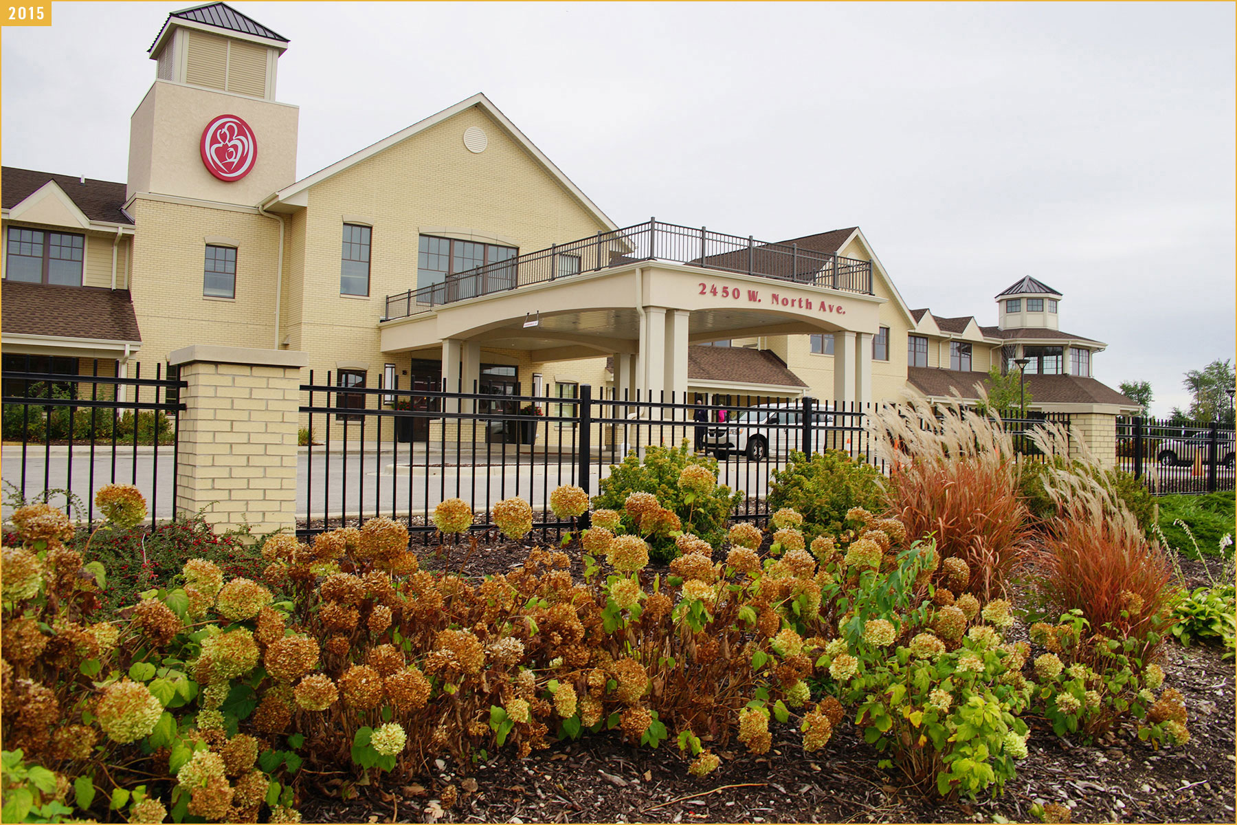
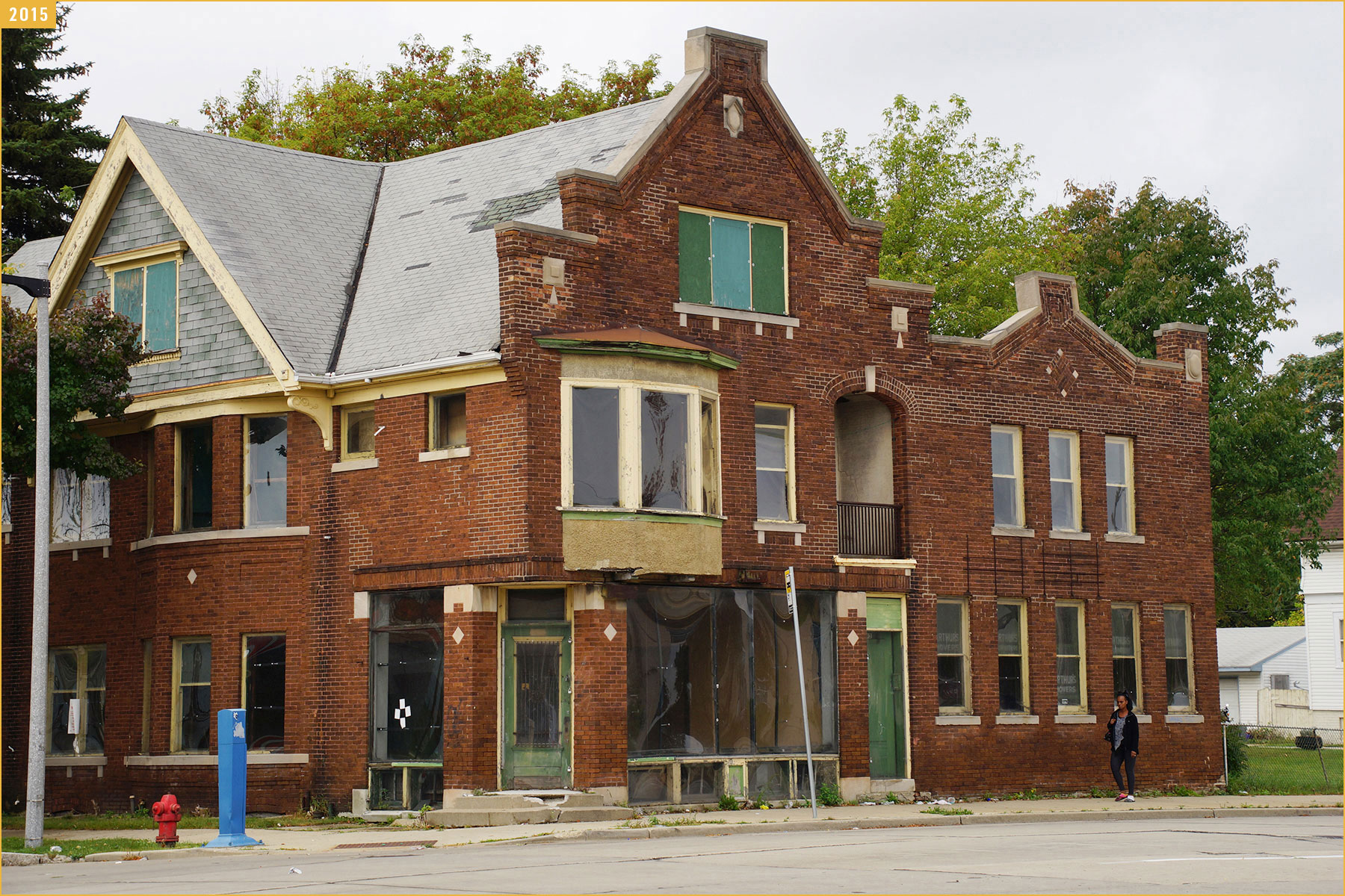
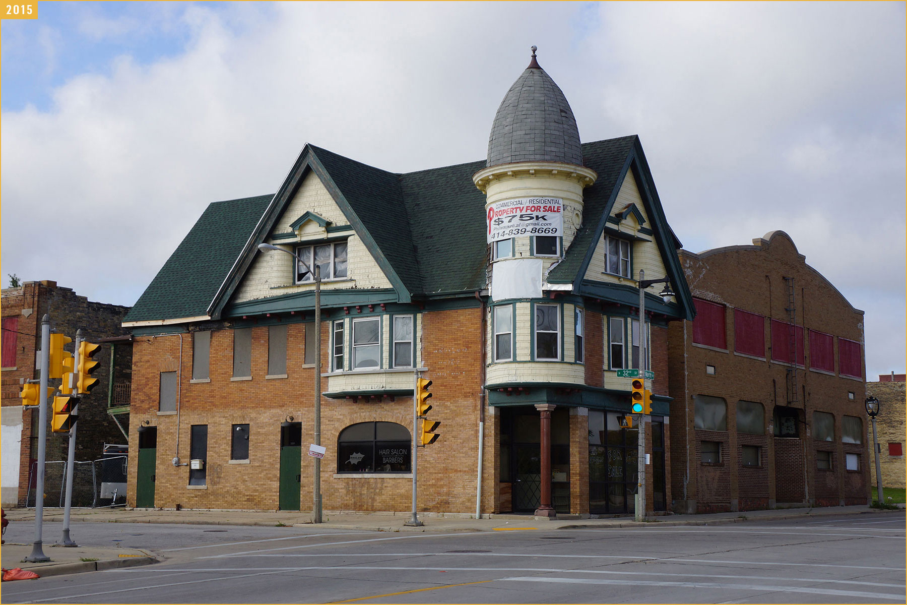
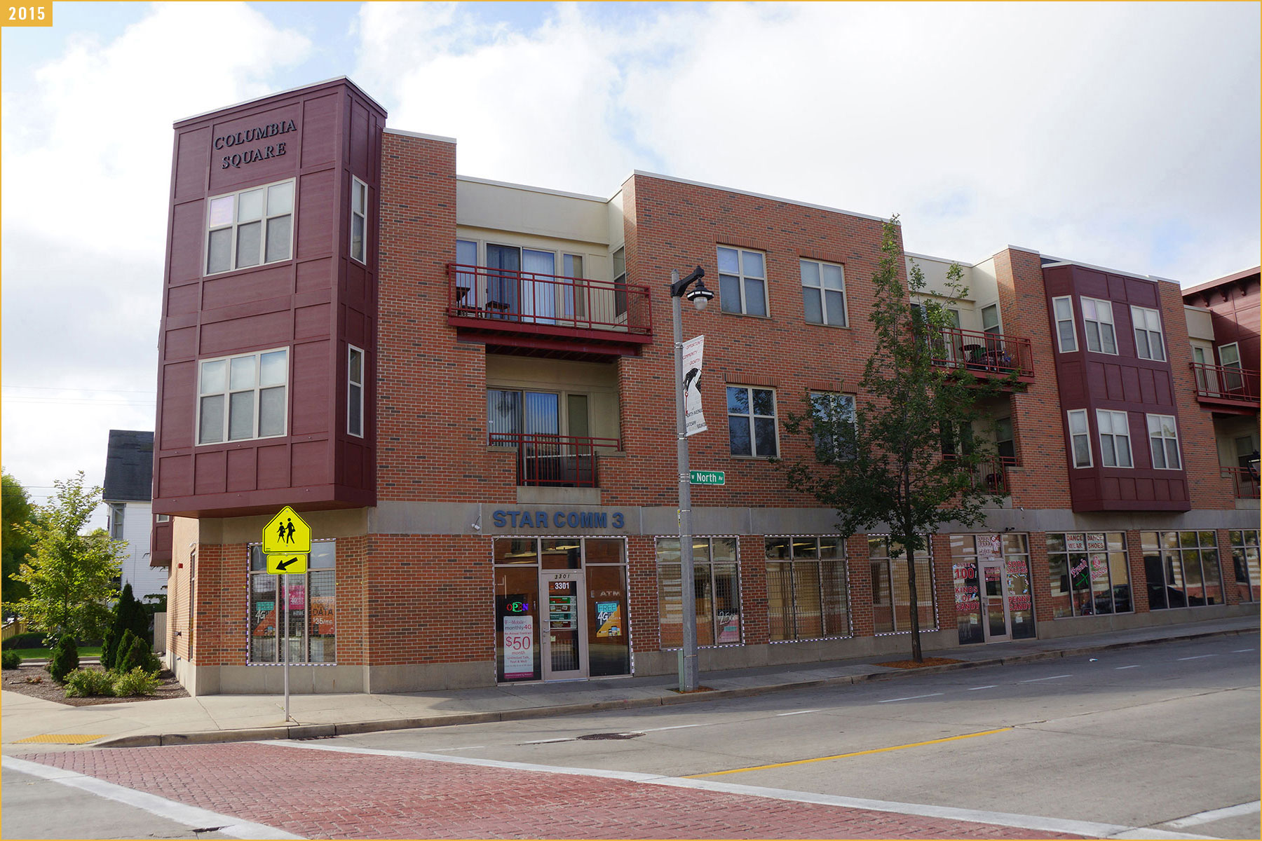
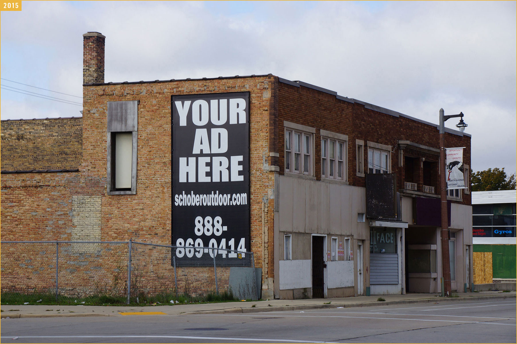
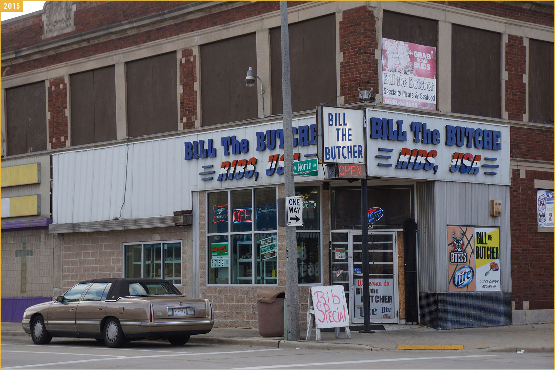
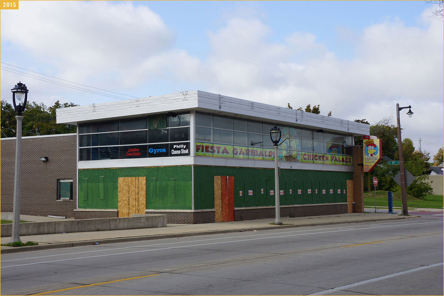
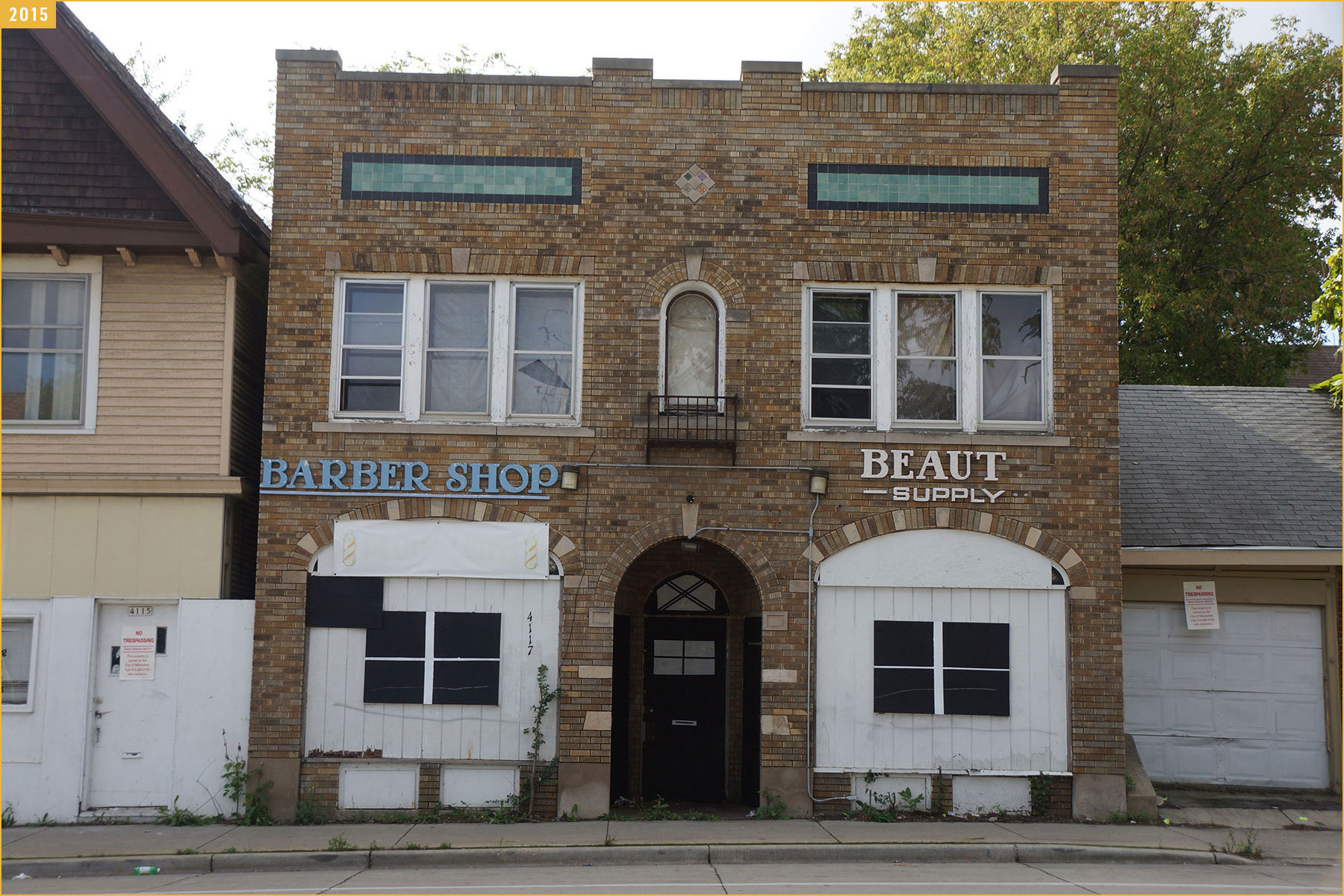
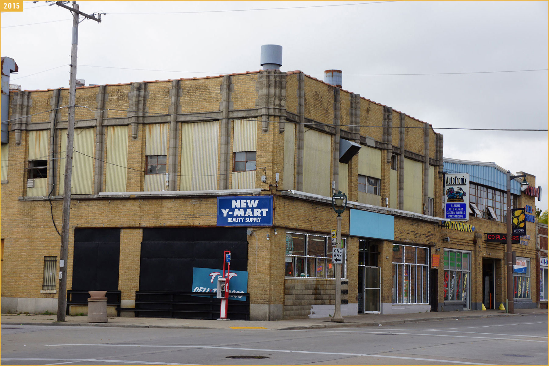
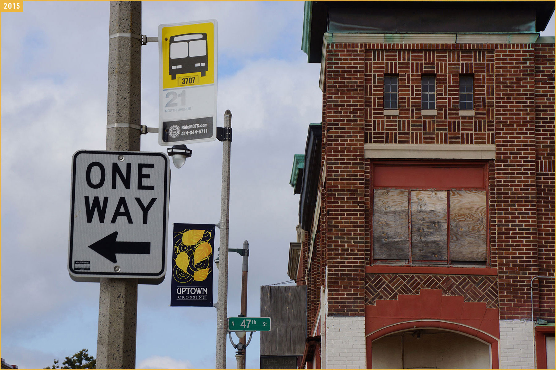
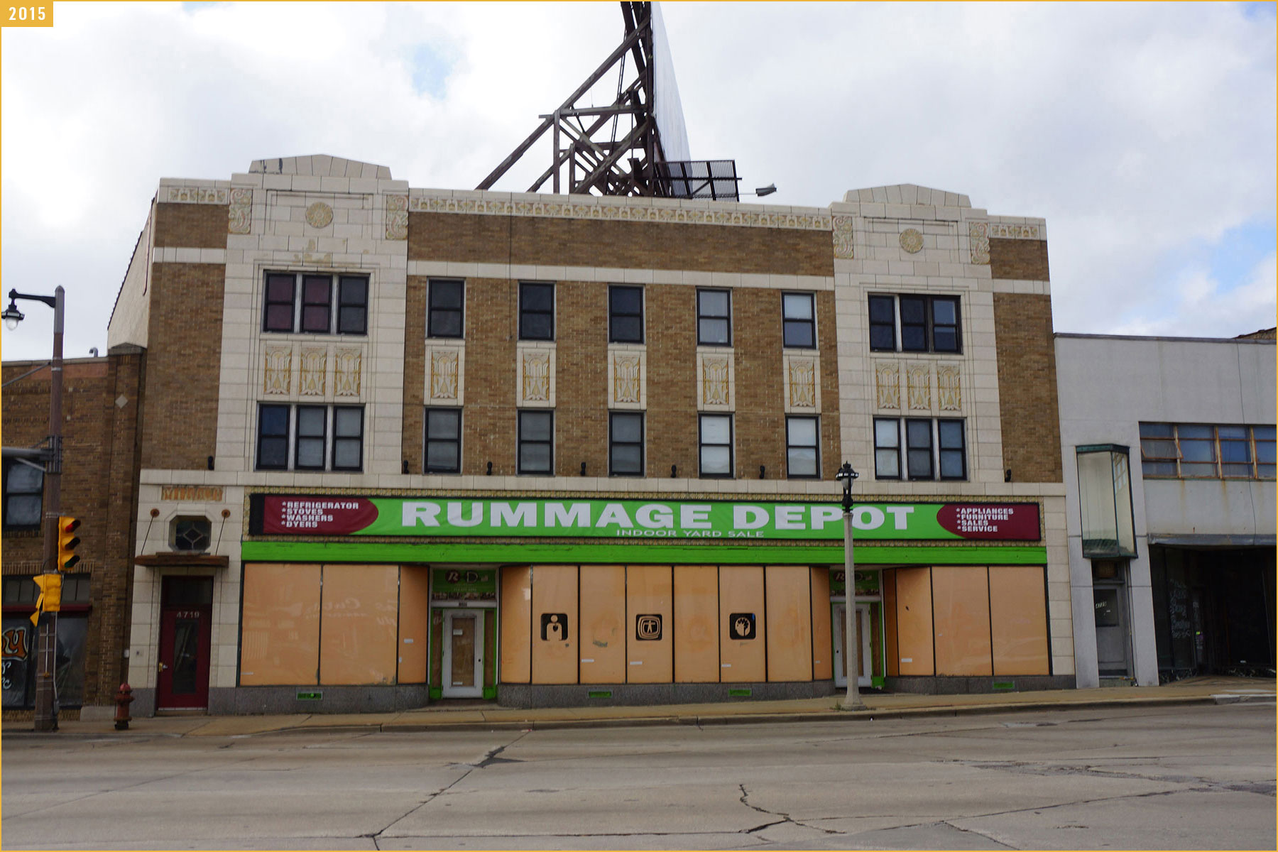
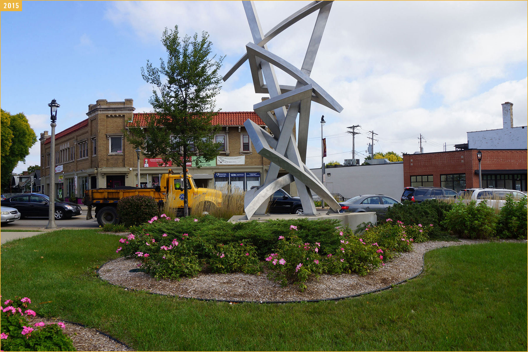
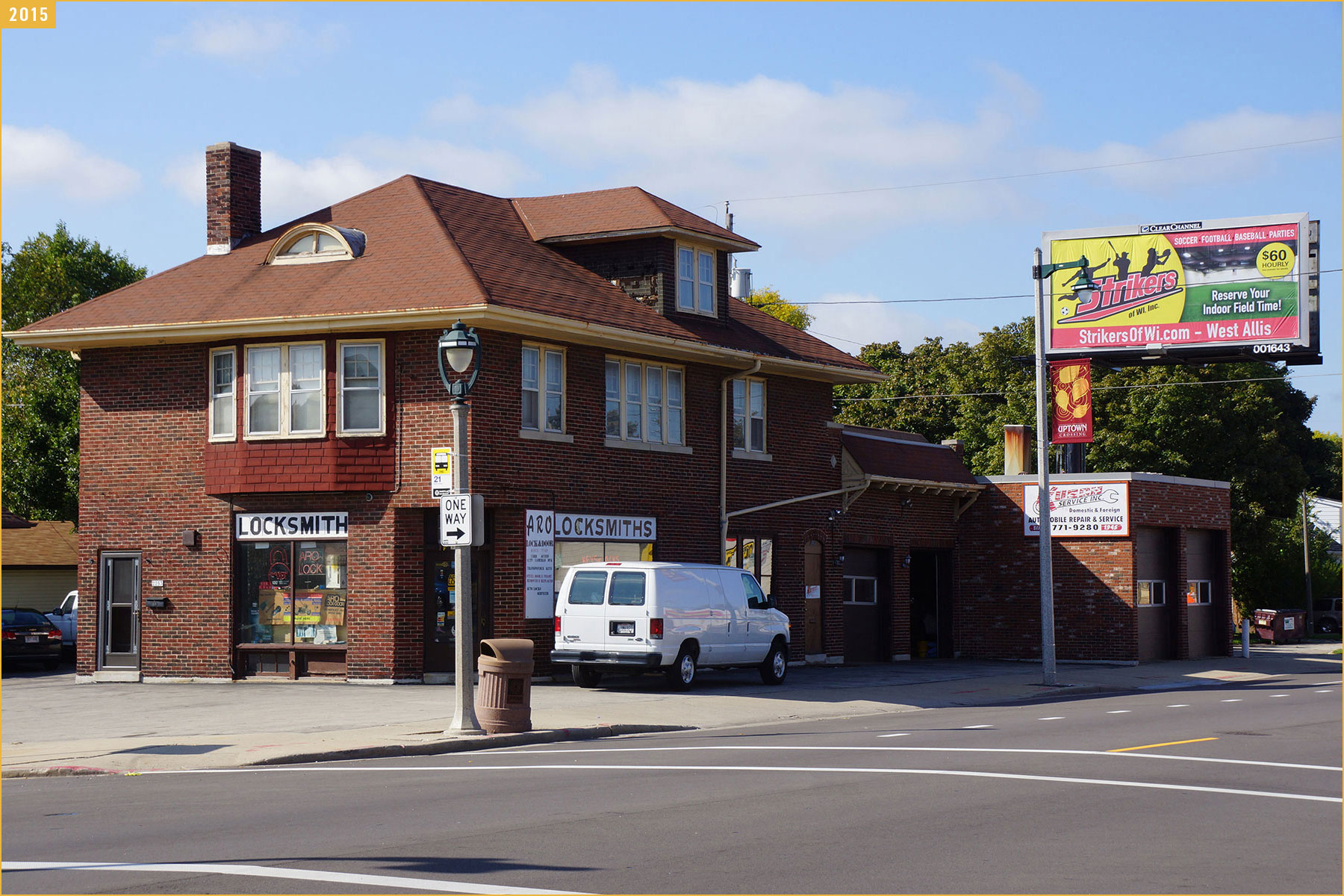
On October 6, 2015 the Milwaukee Independent made the 84 block, 5.5 mile hike across North Avenue to photo-document the corridor’s condition as a geographical reference with images for future news reports about community projects.
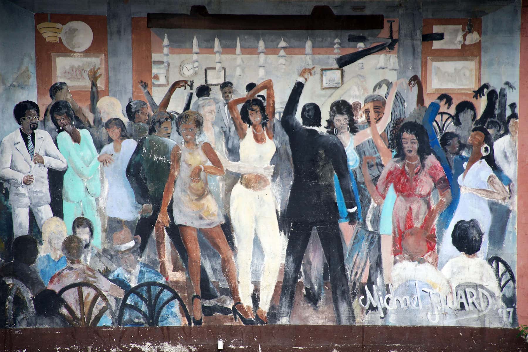
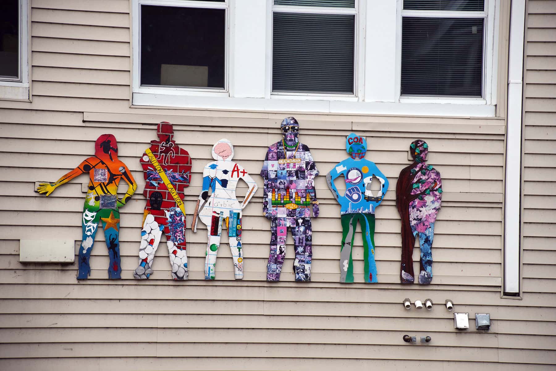
Inspired by the HOME GR/OWN story for development and urban transformation, the trek passed through the East Side, Riverwest, Brewers Hill, Halyard Park, Lindsay Heights, Park West, Metcalfe Park, Sherman Park, and Uptown neighborhoods of Milwaukee.
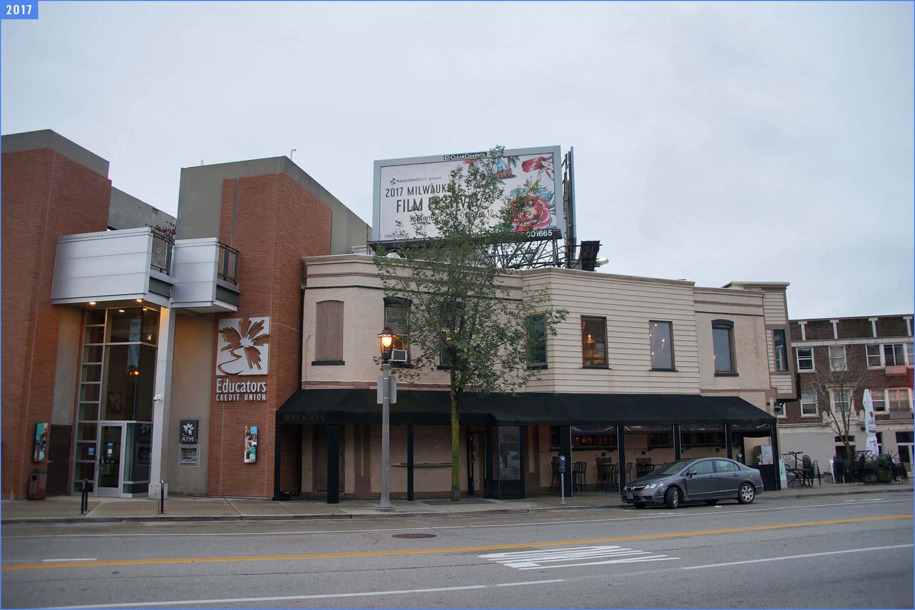
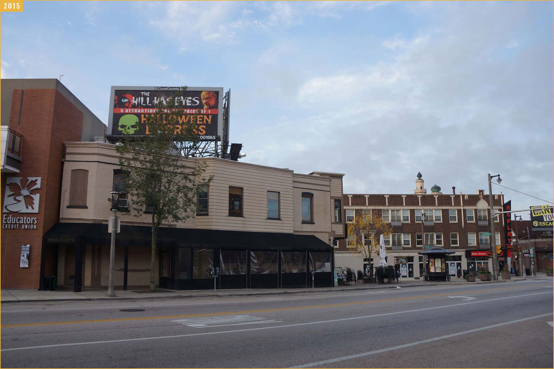
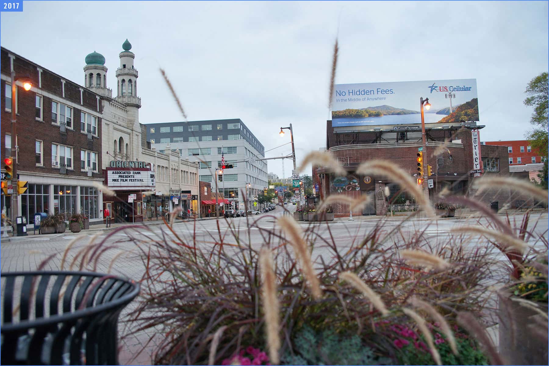
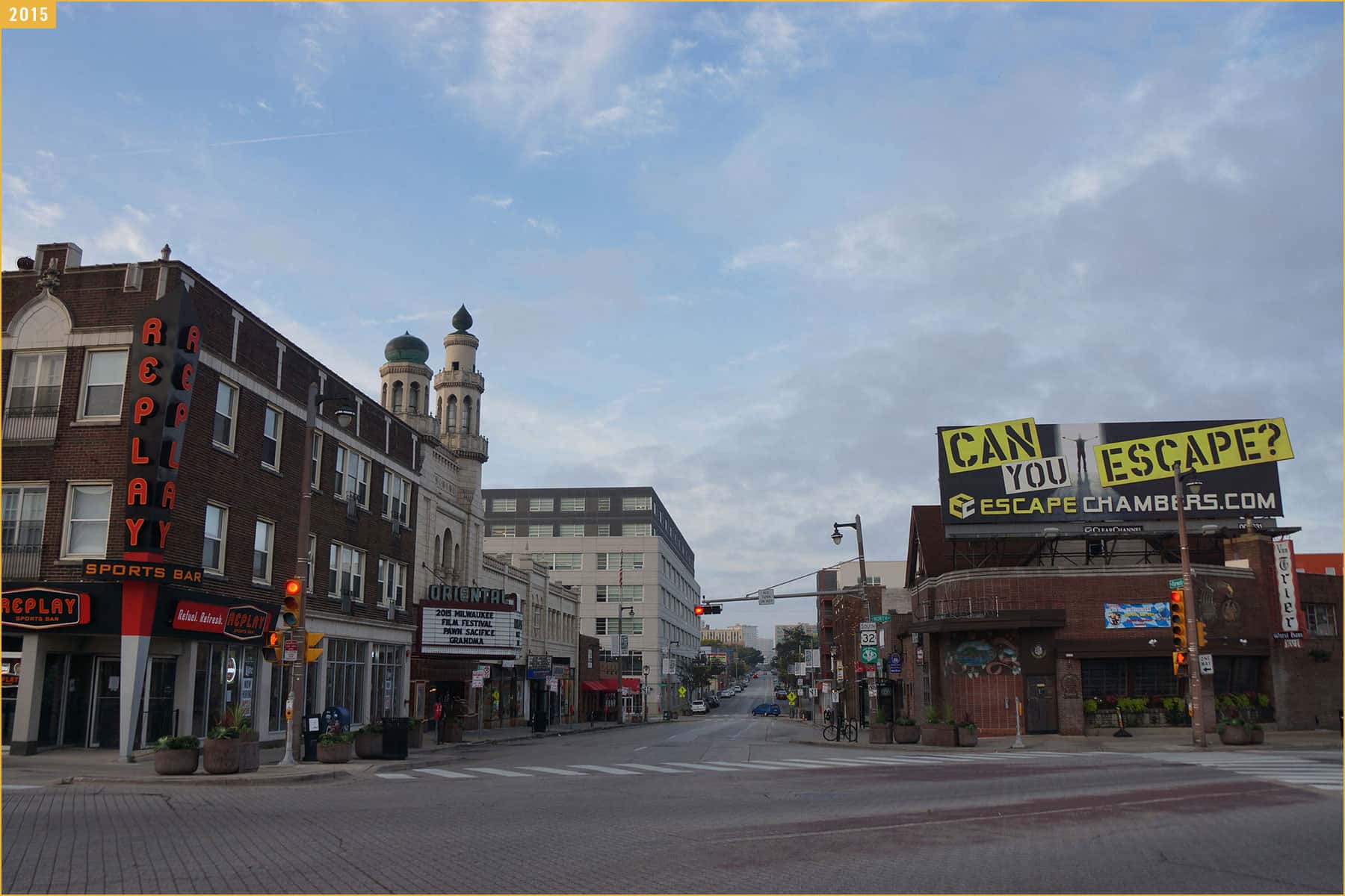
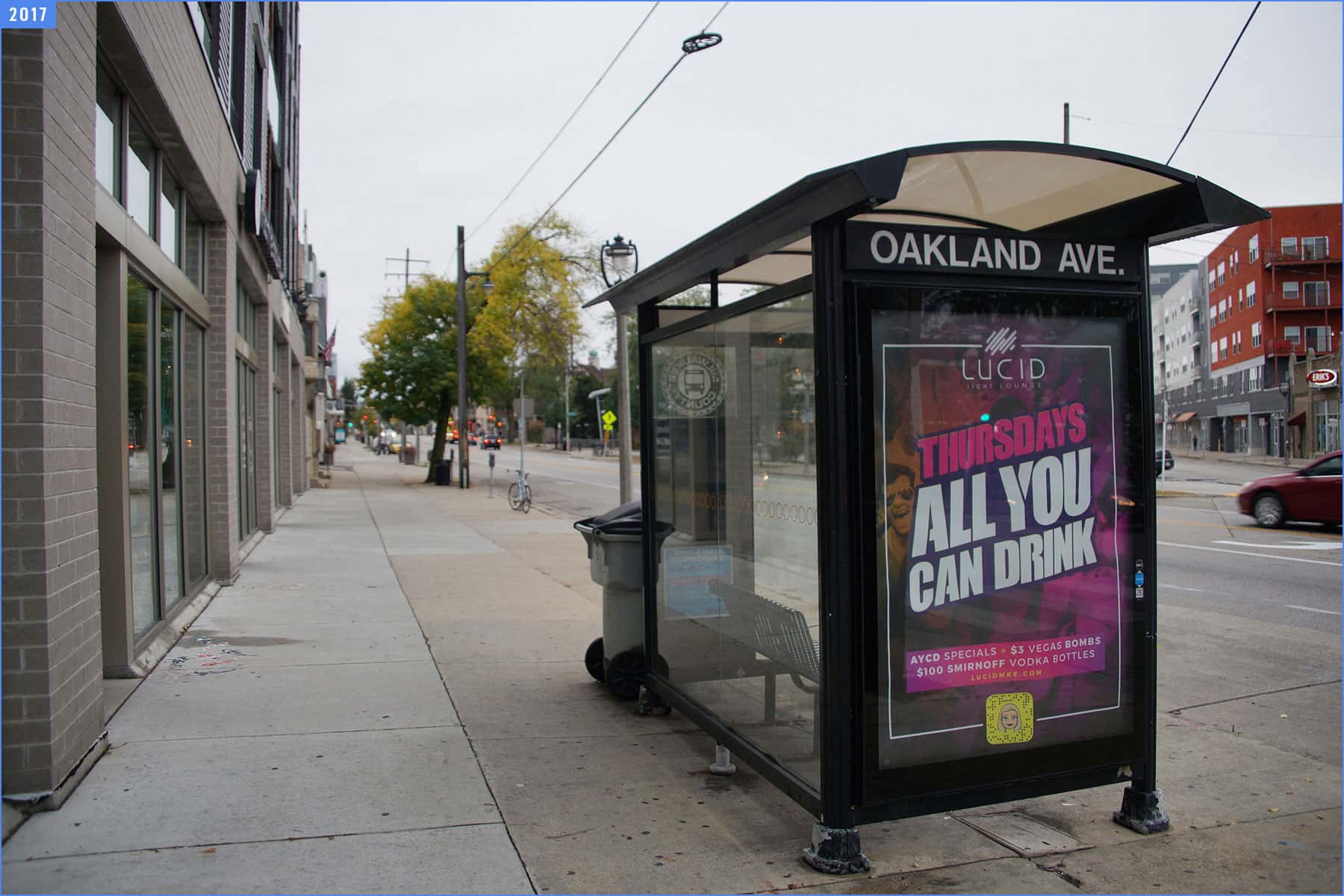
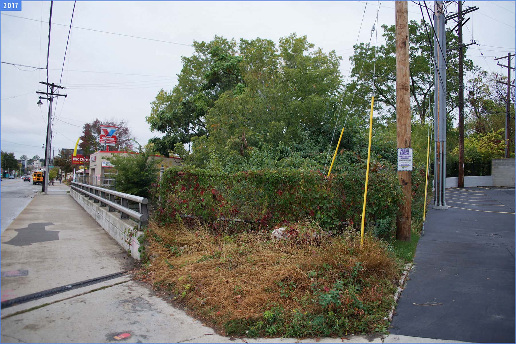
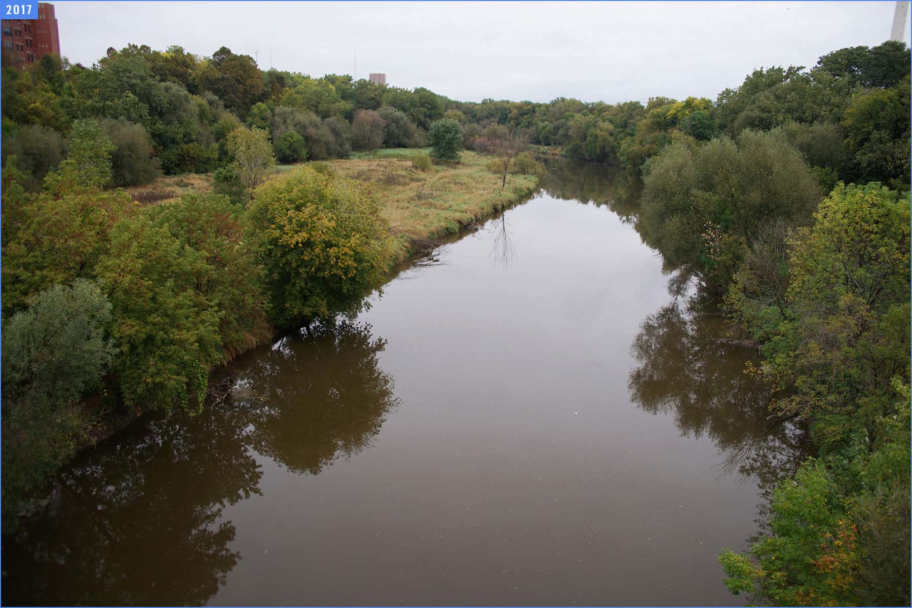
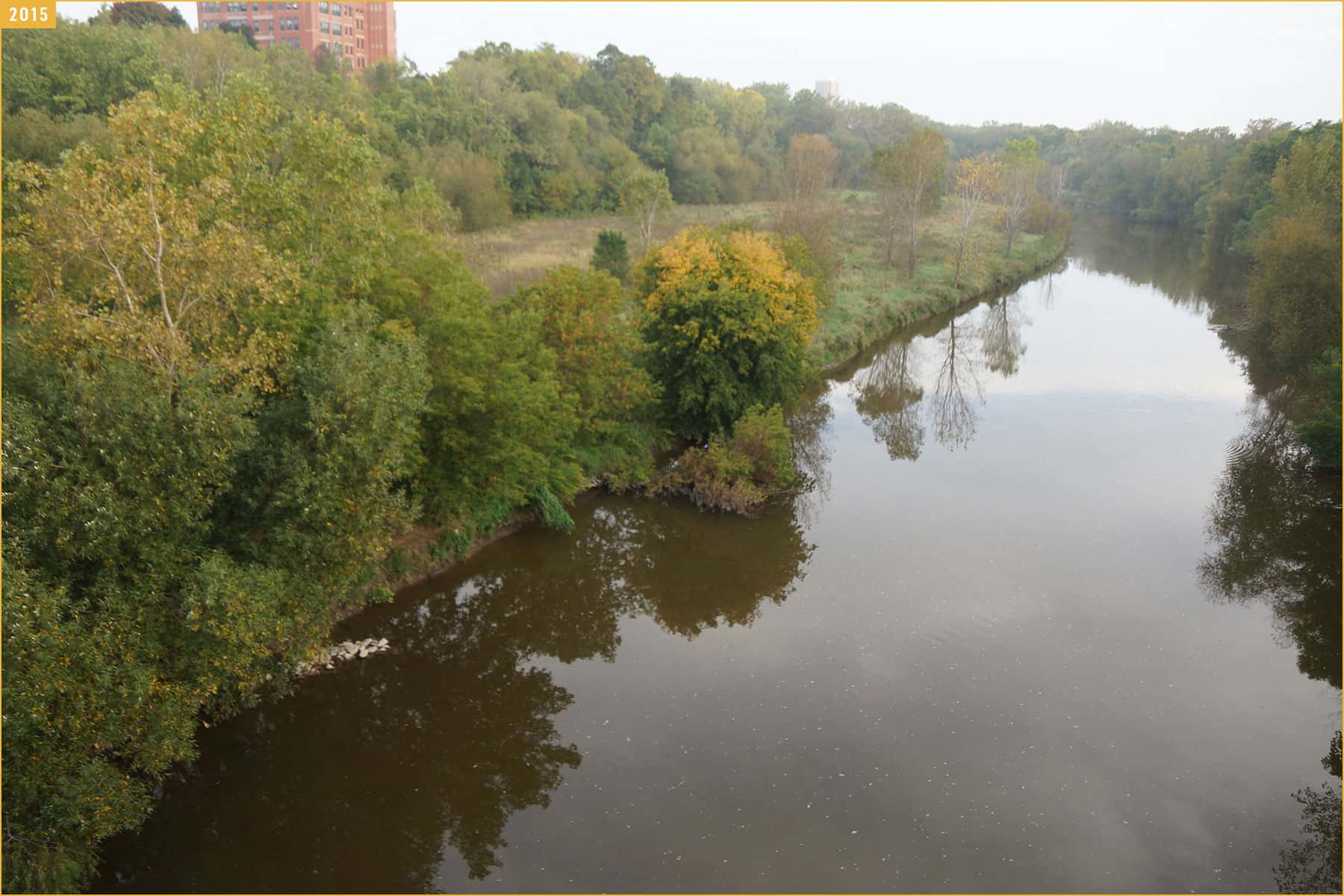
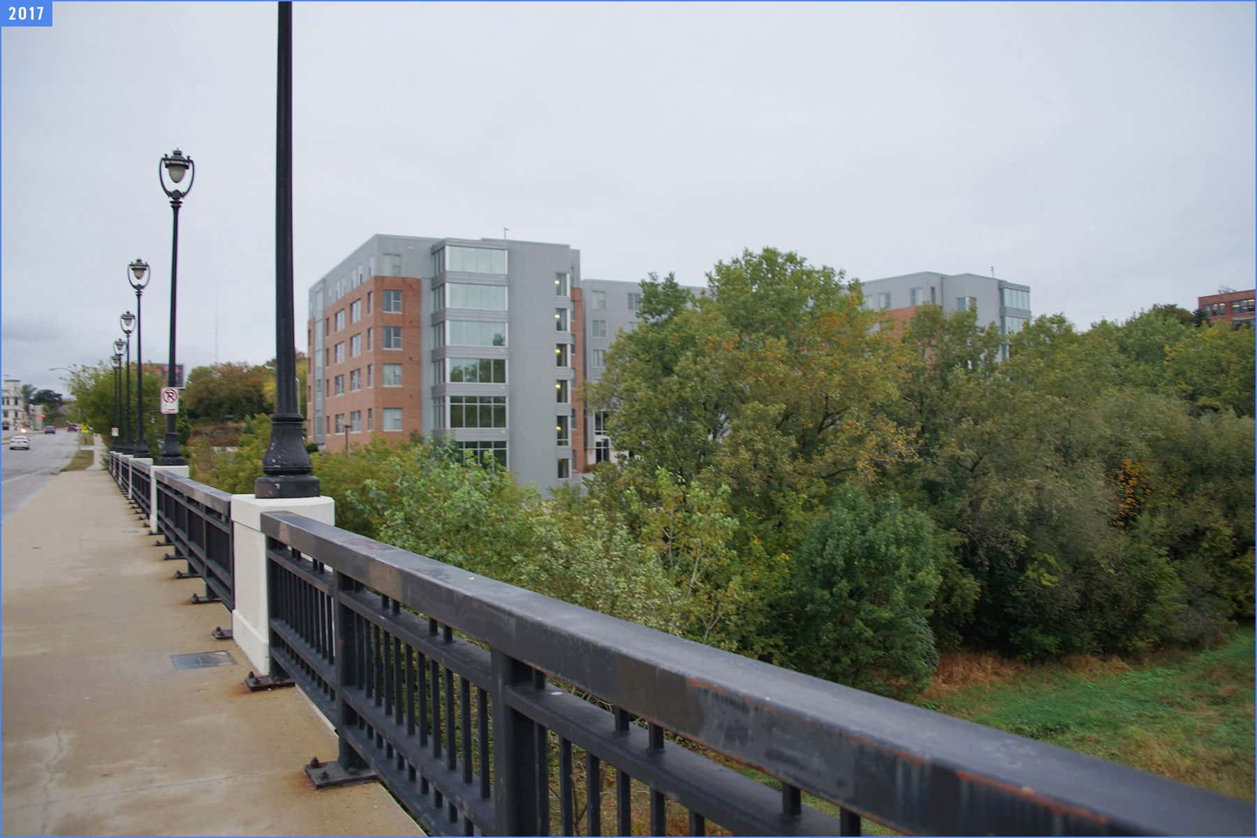
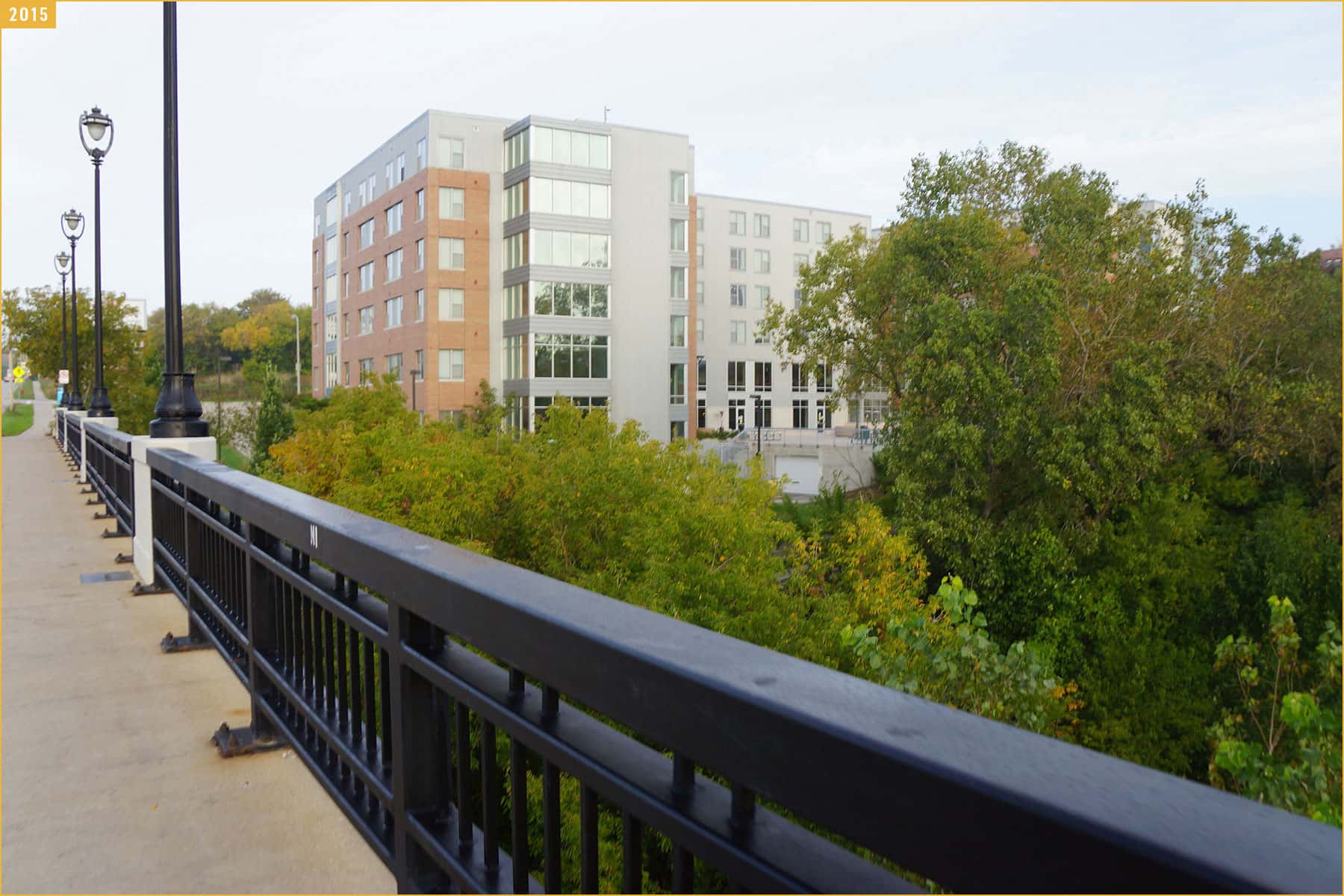
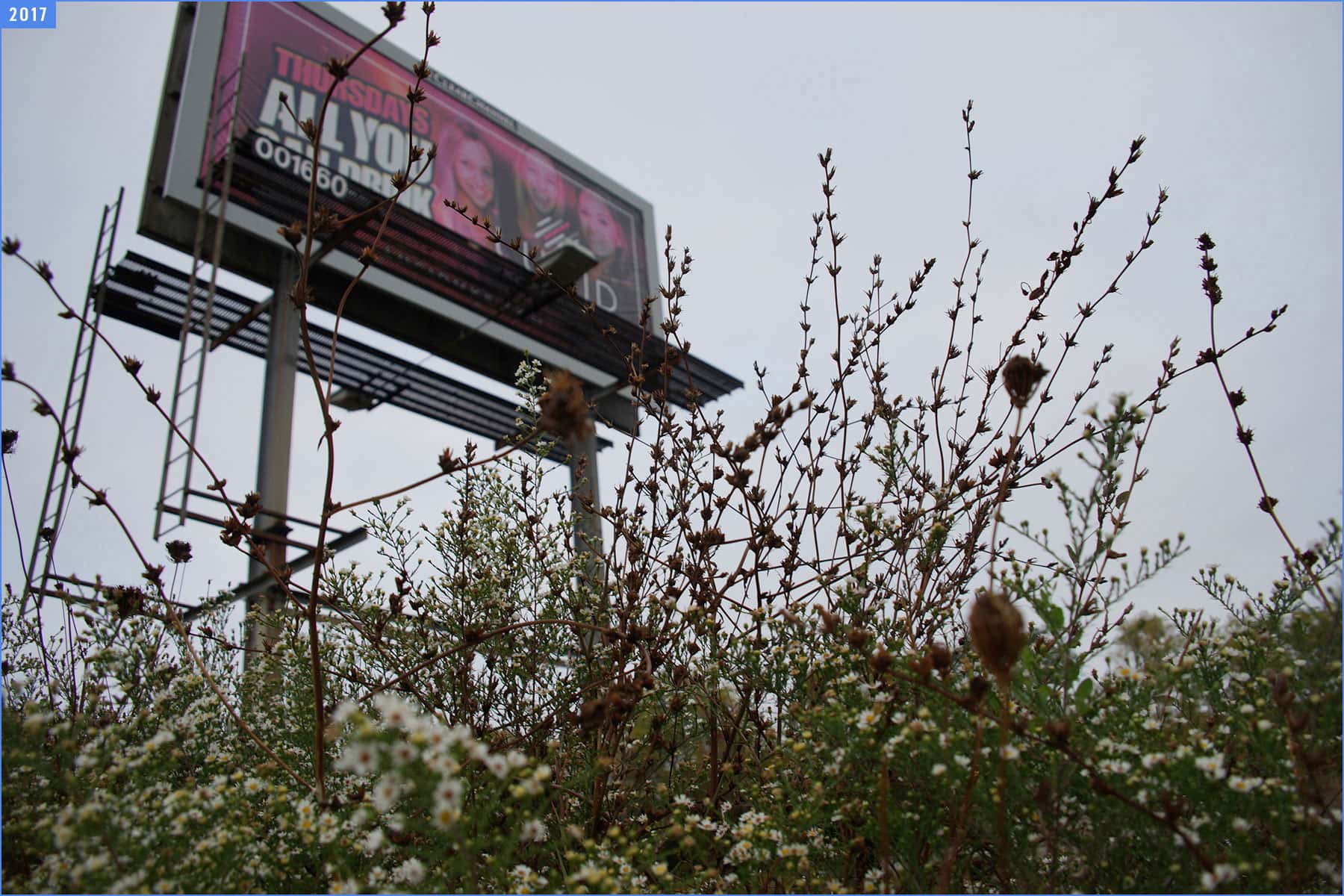
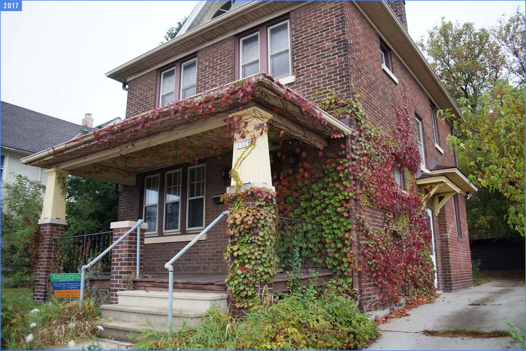
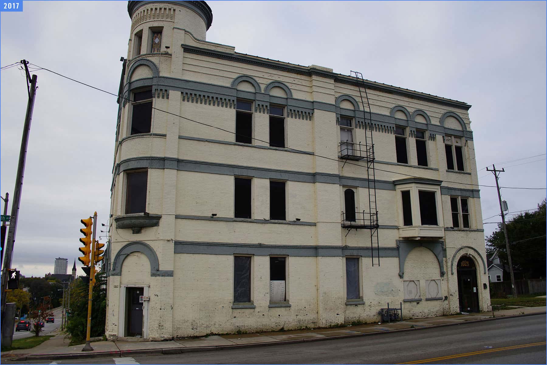
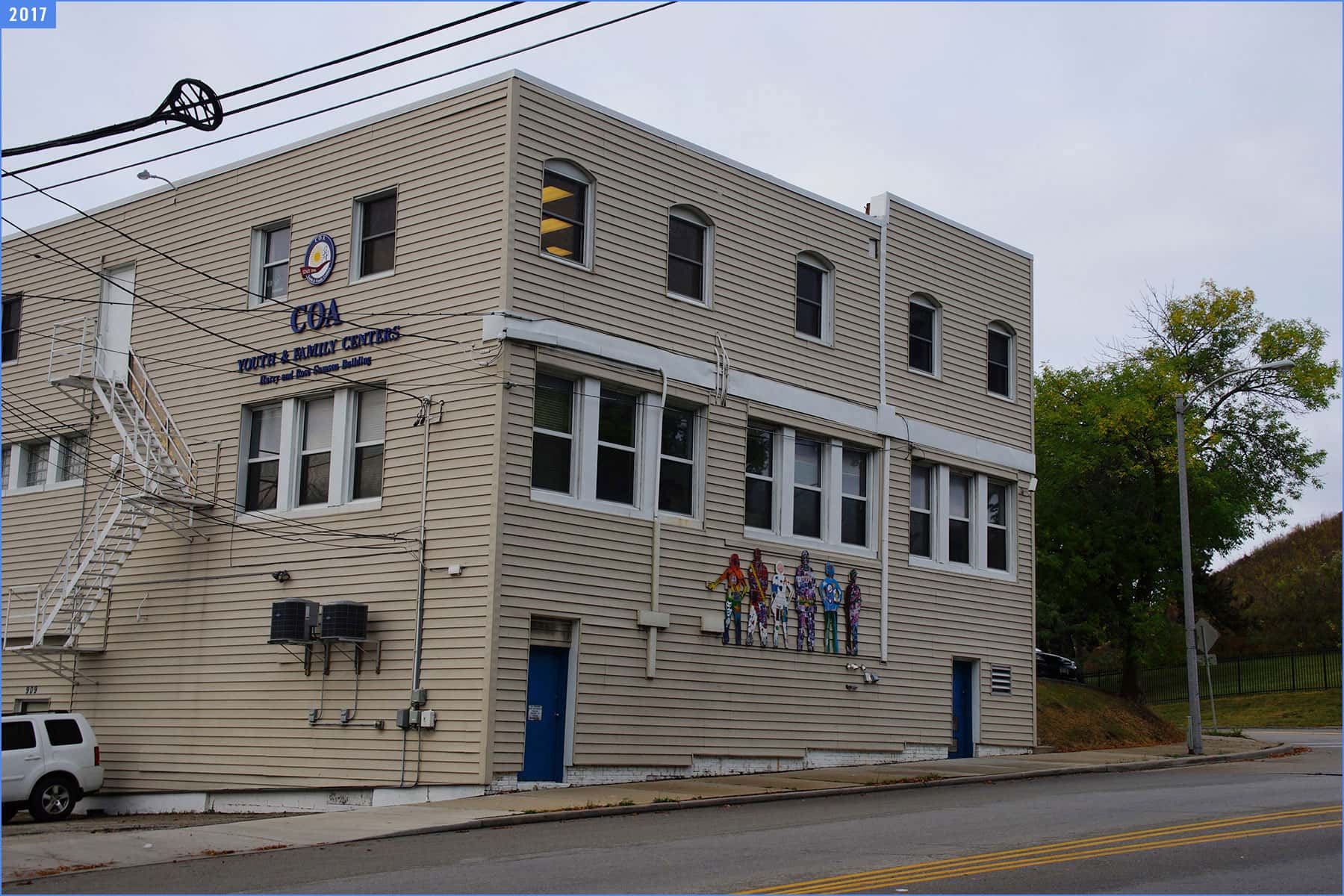
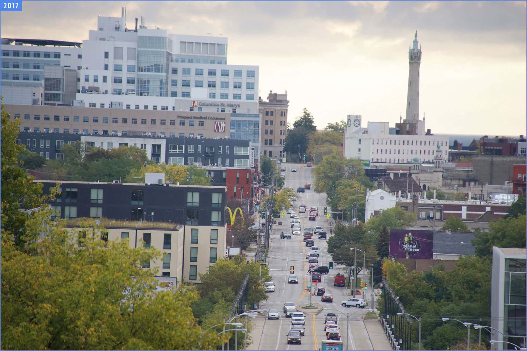
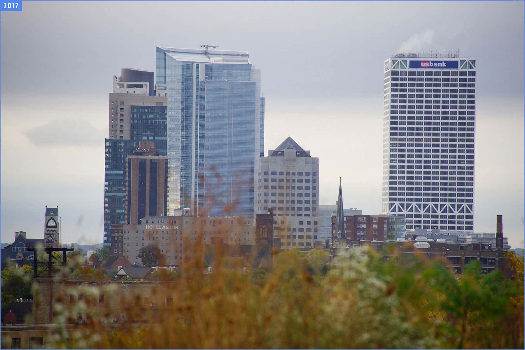
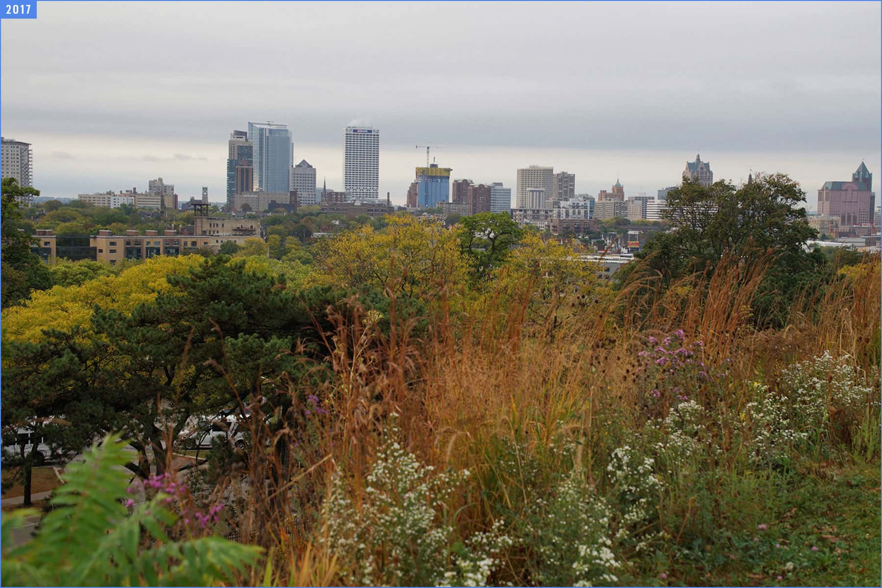
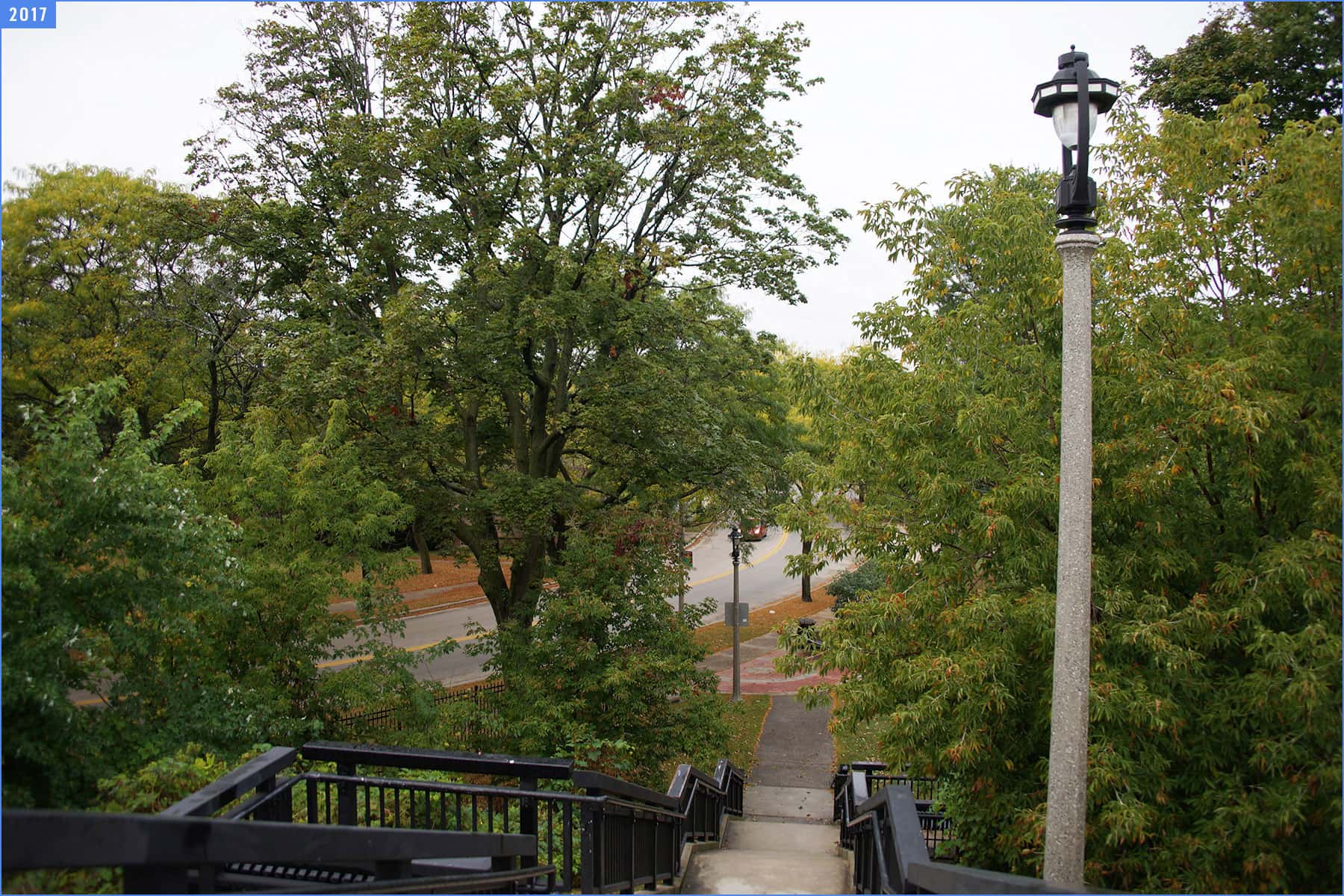
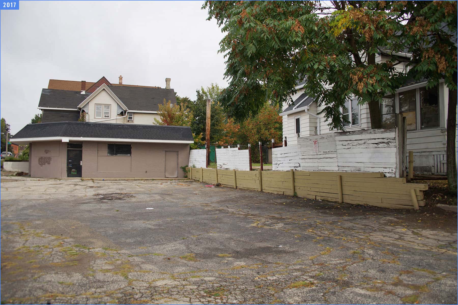
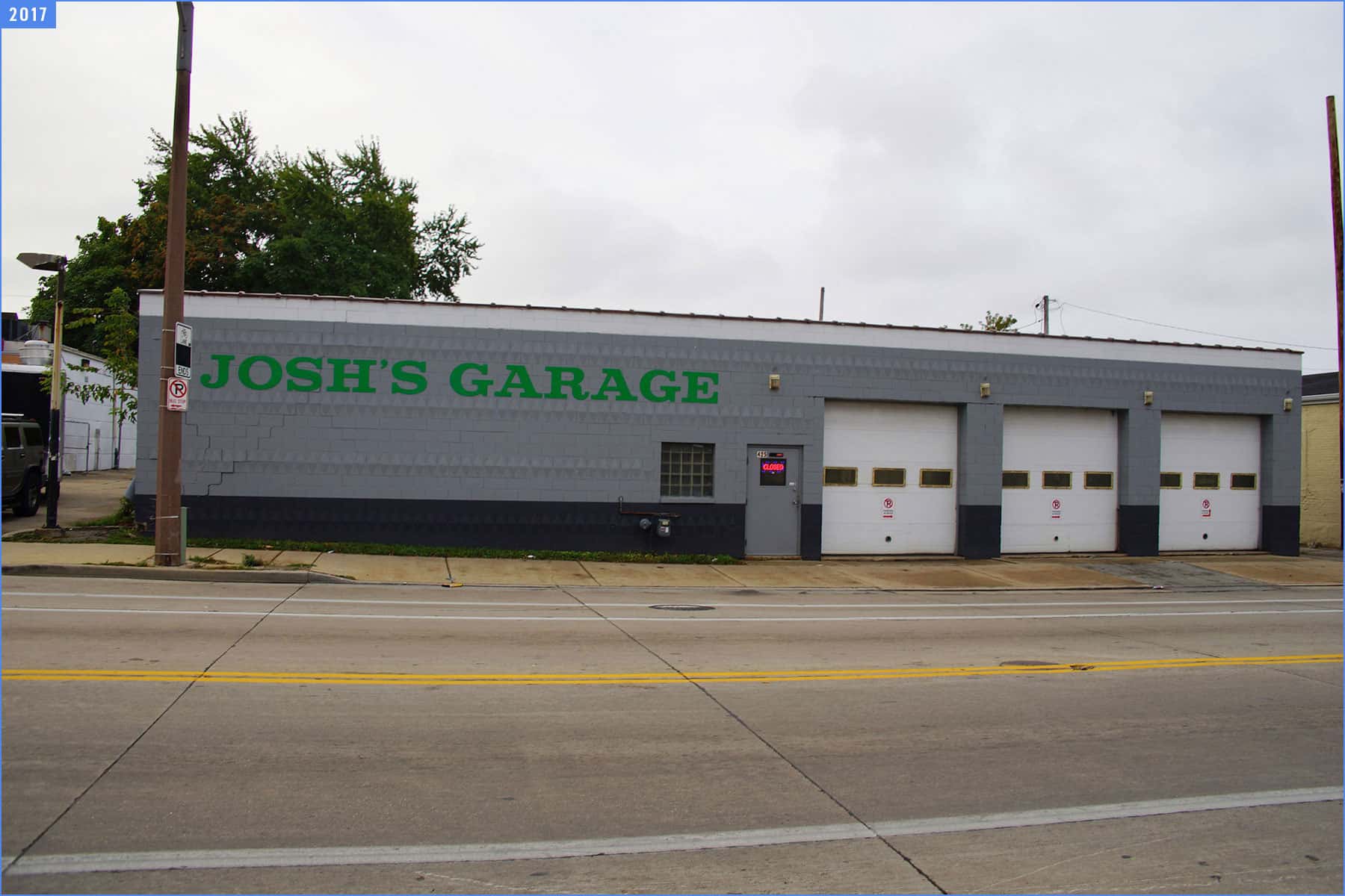
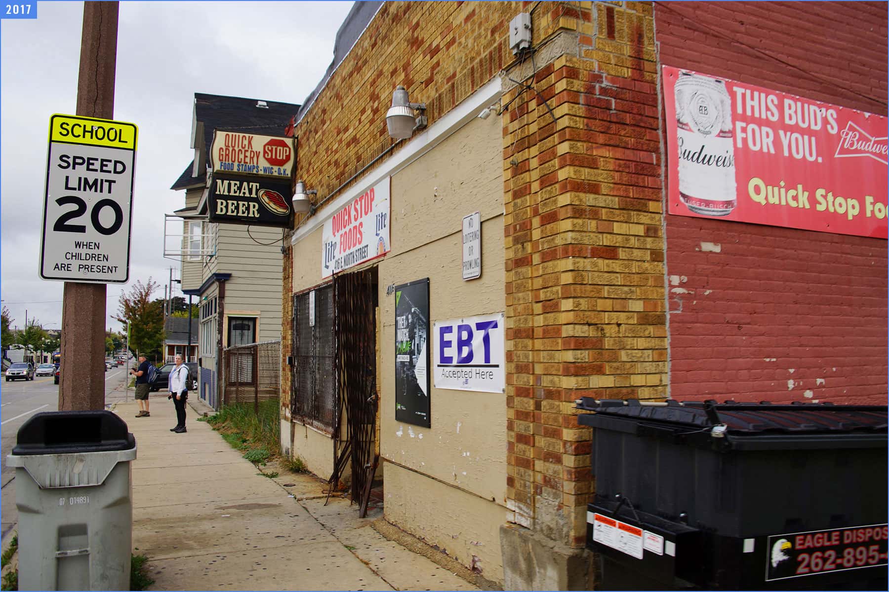
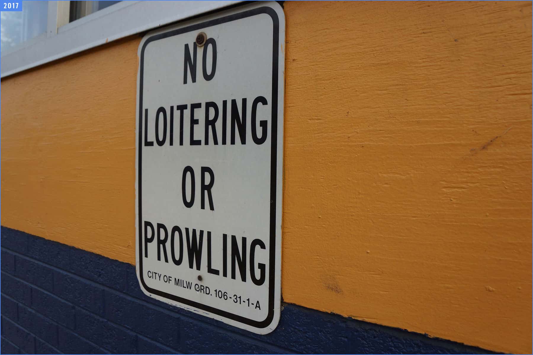
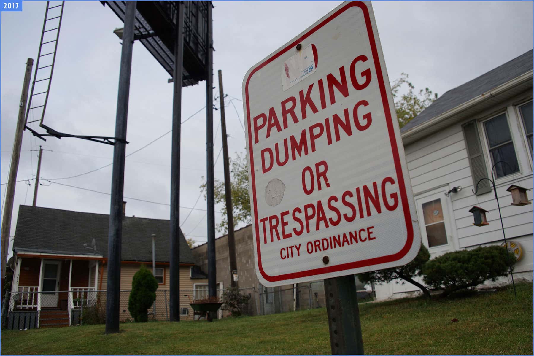
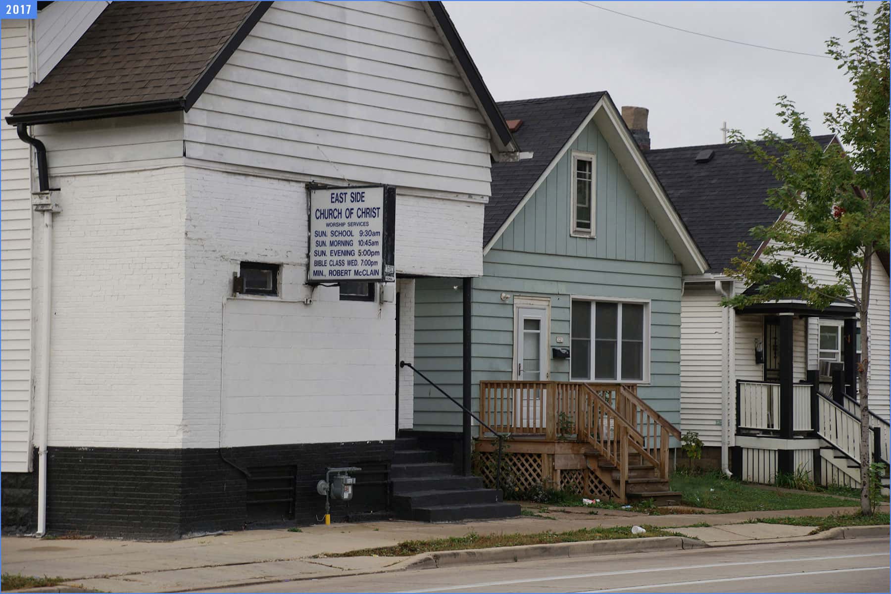
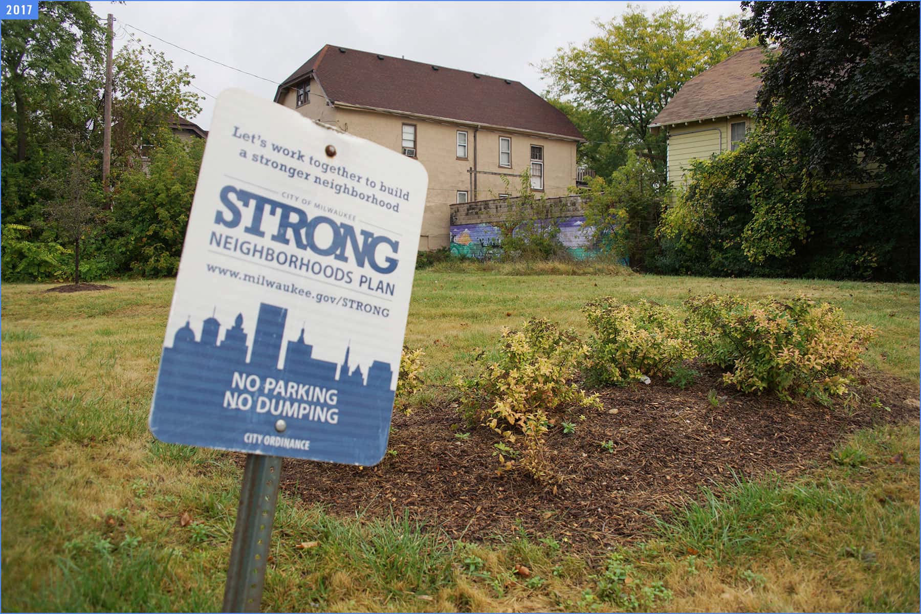
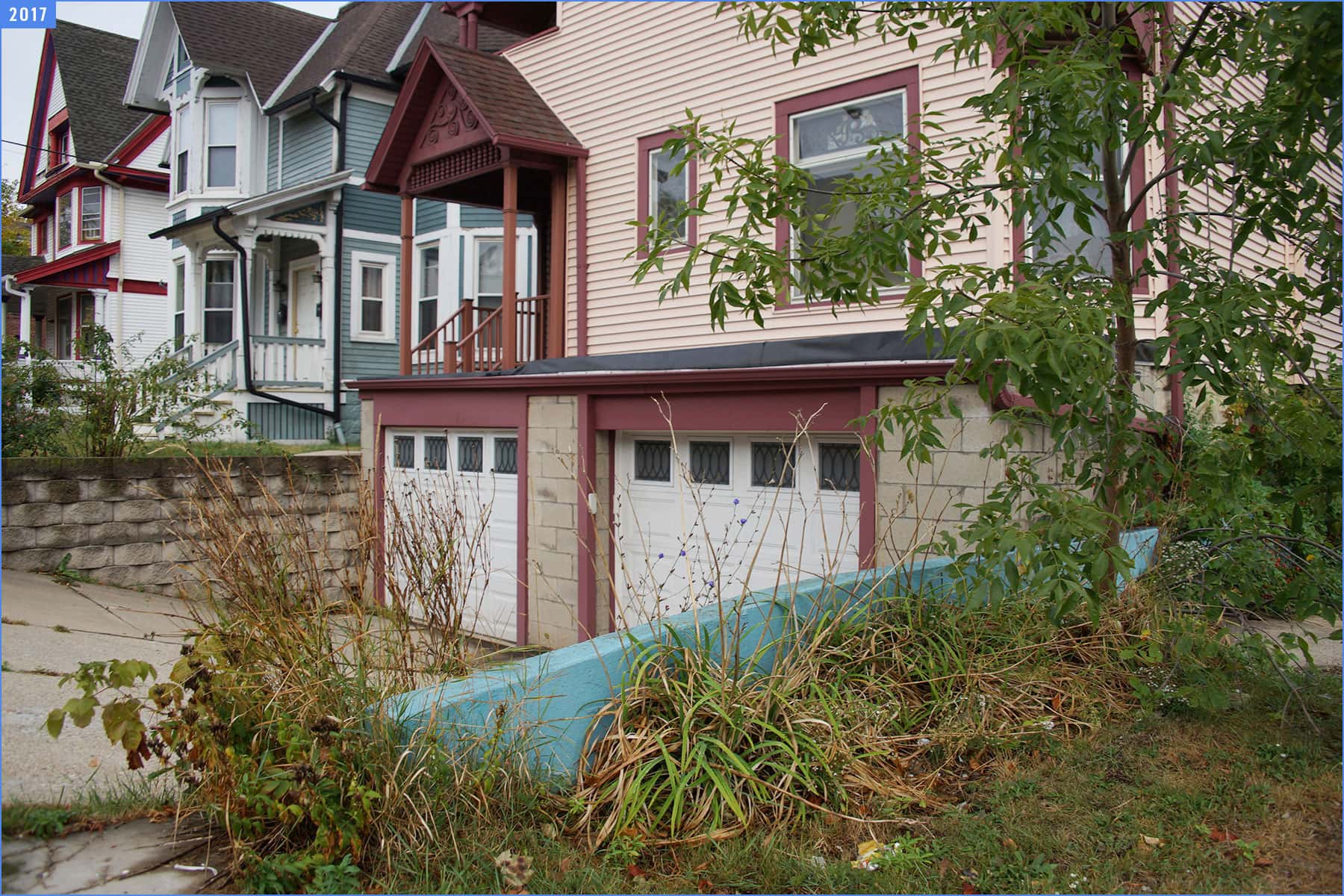
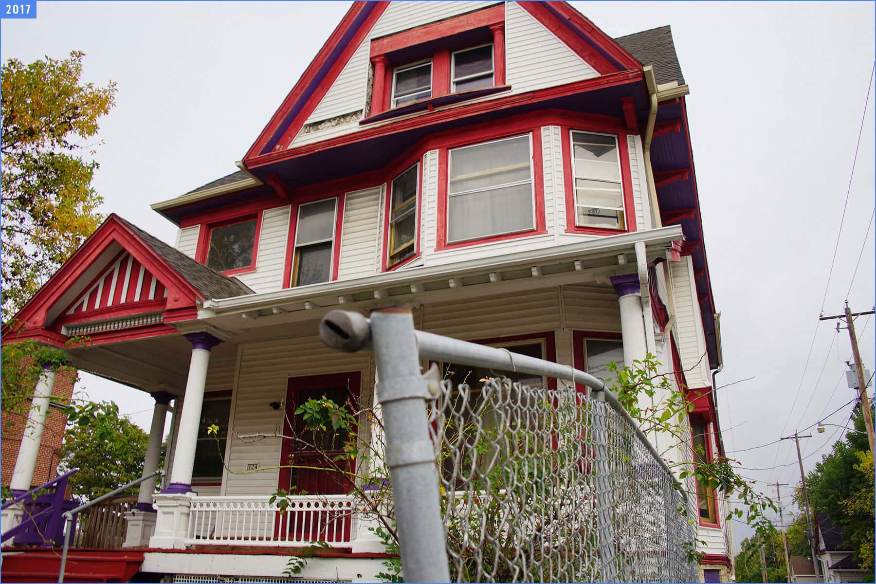
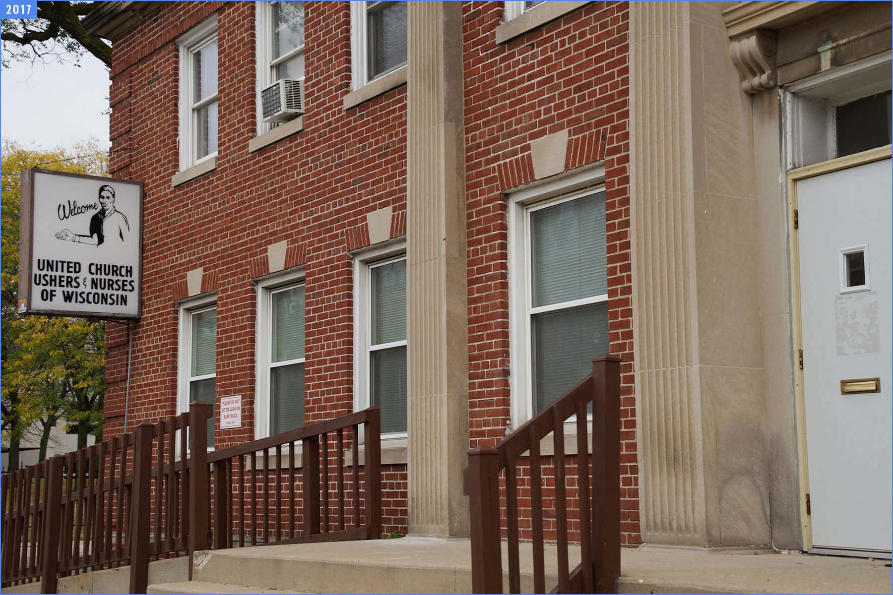
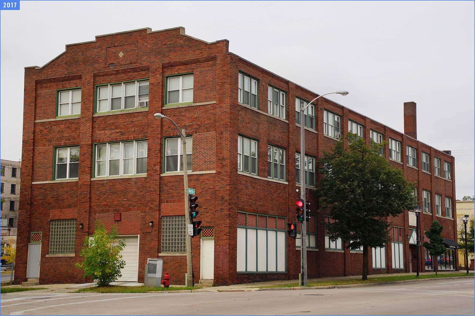
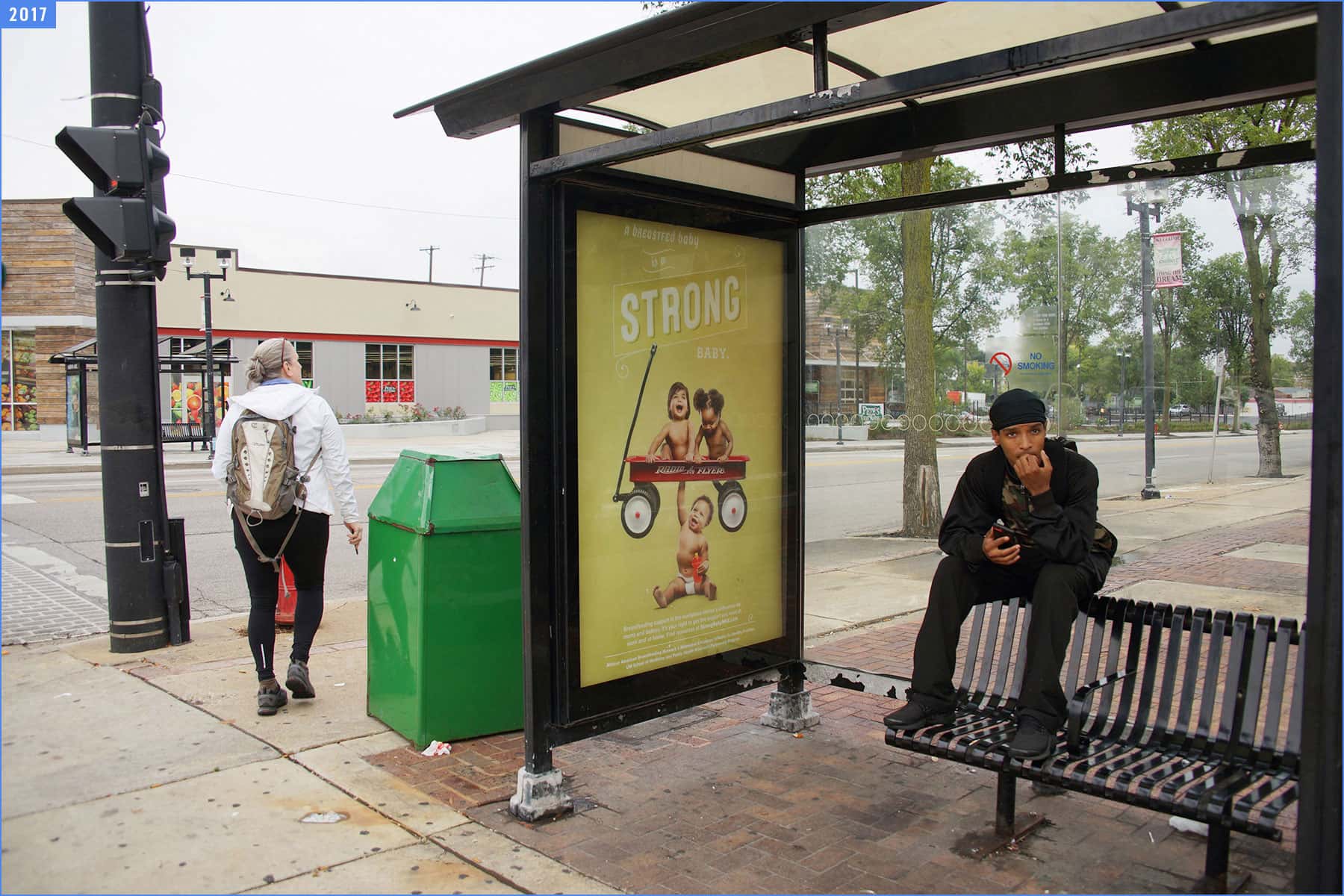
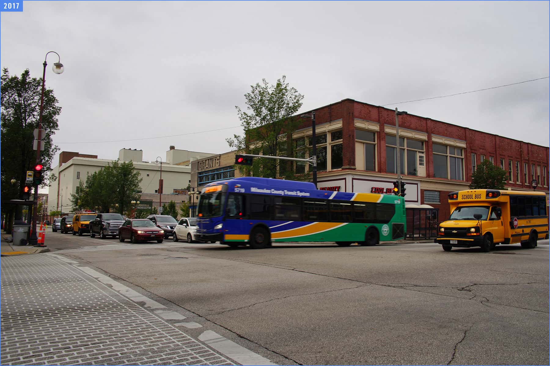
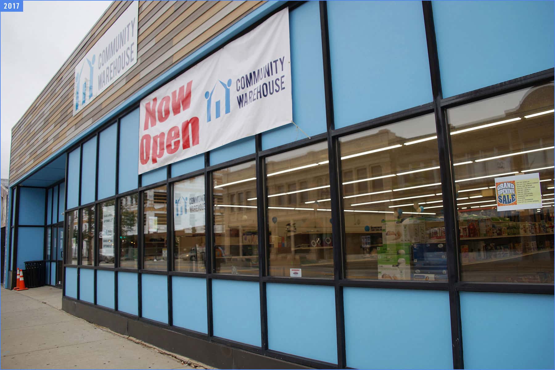
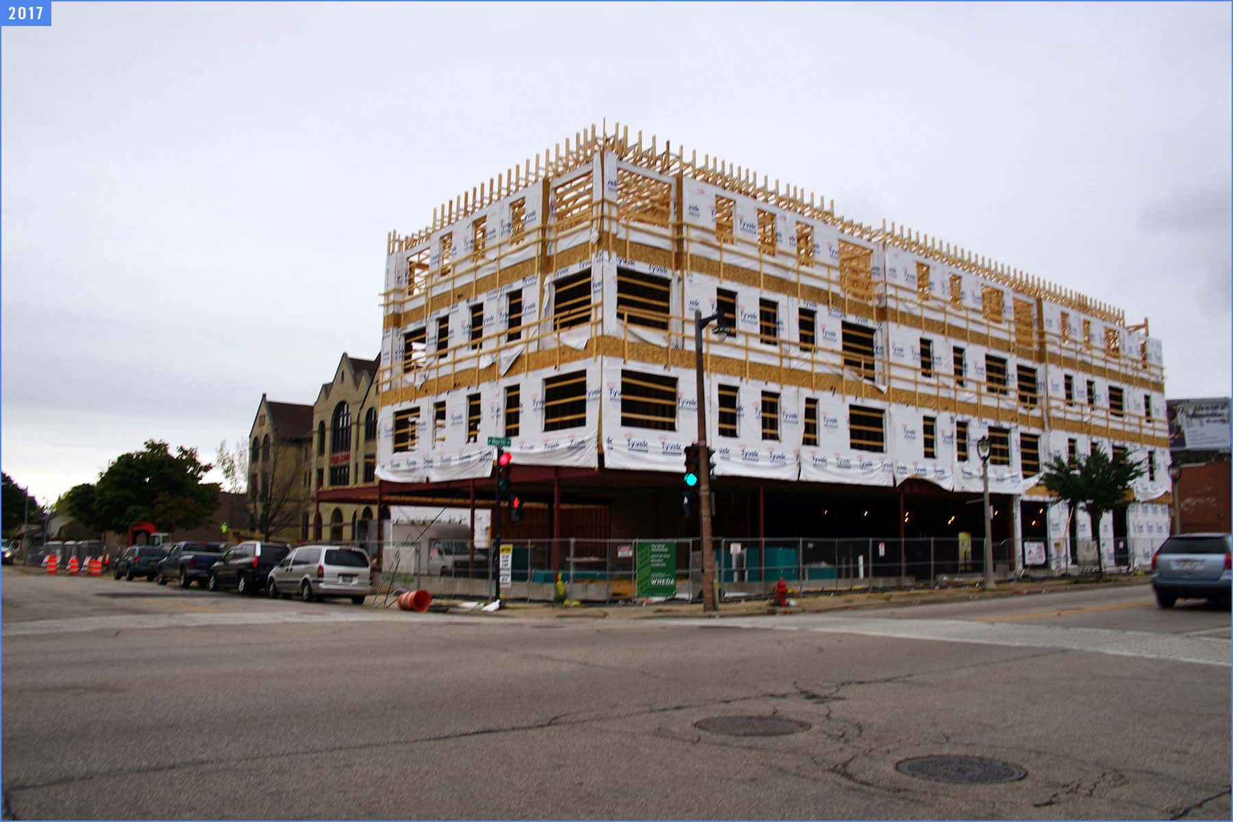
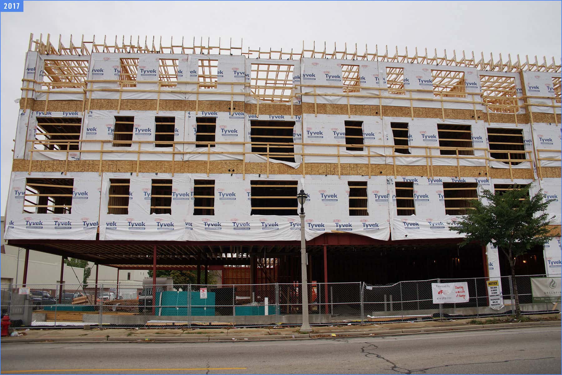
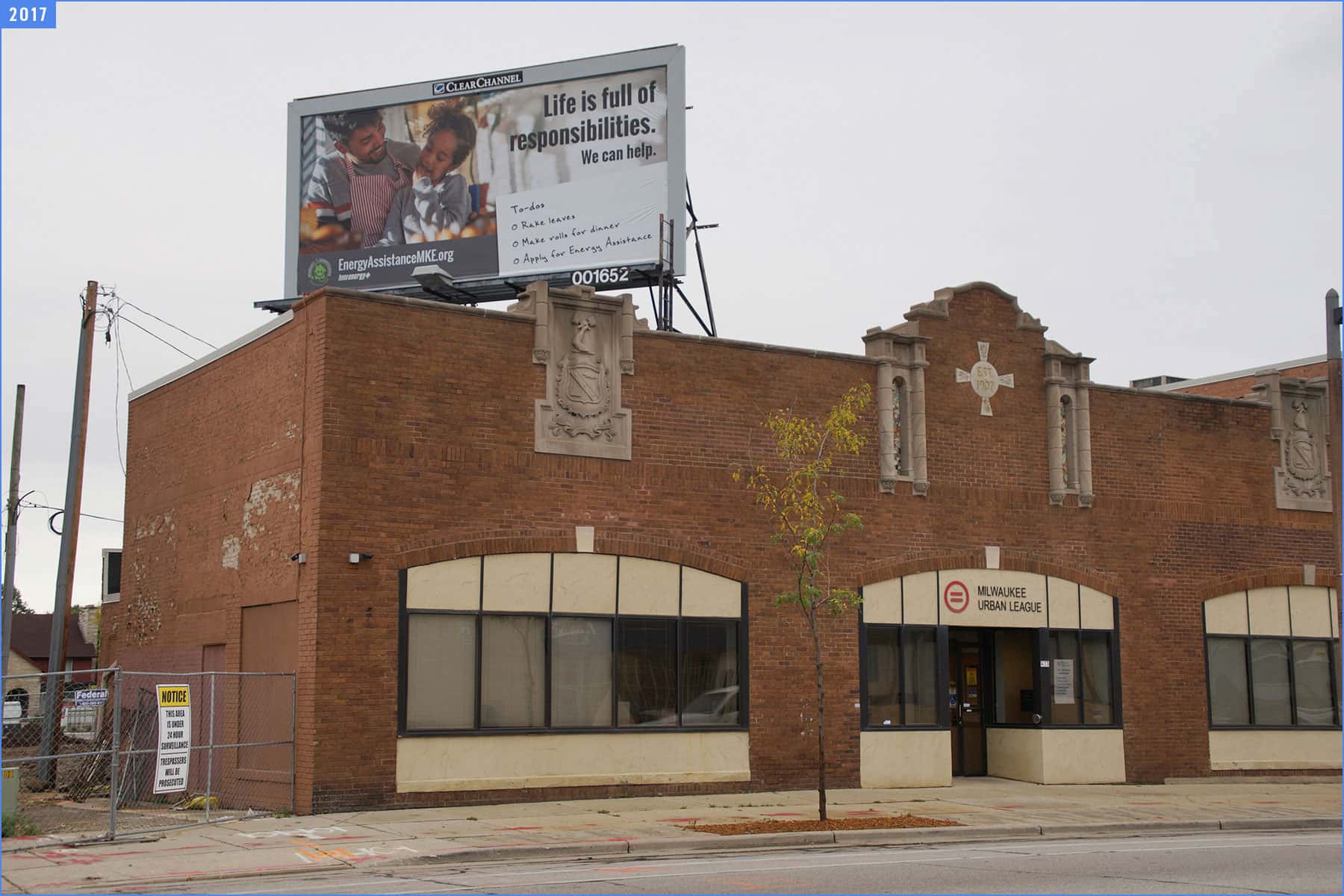
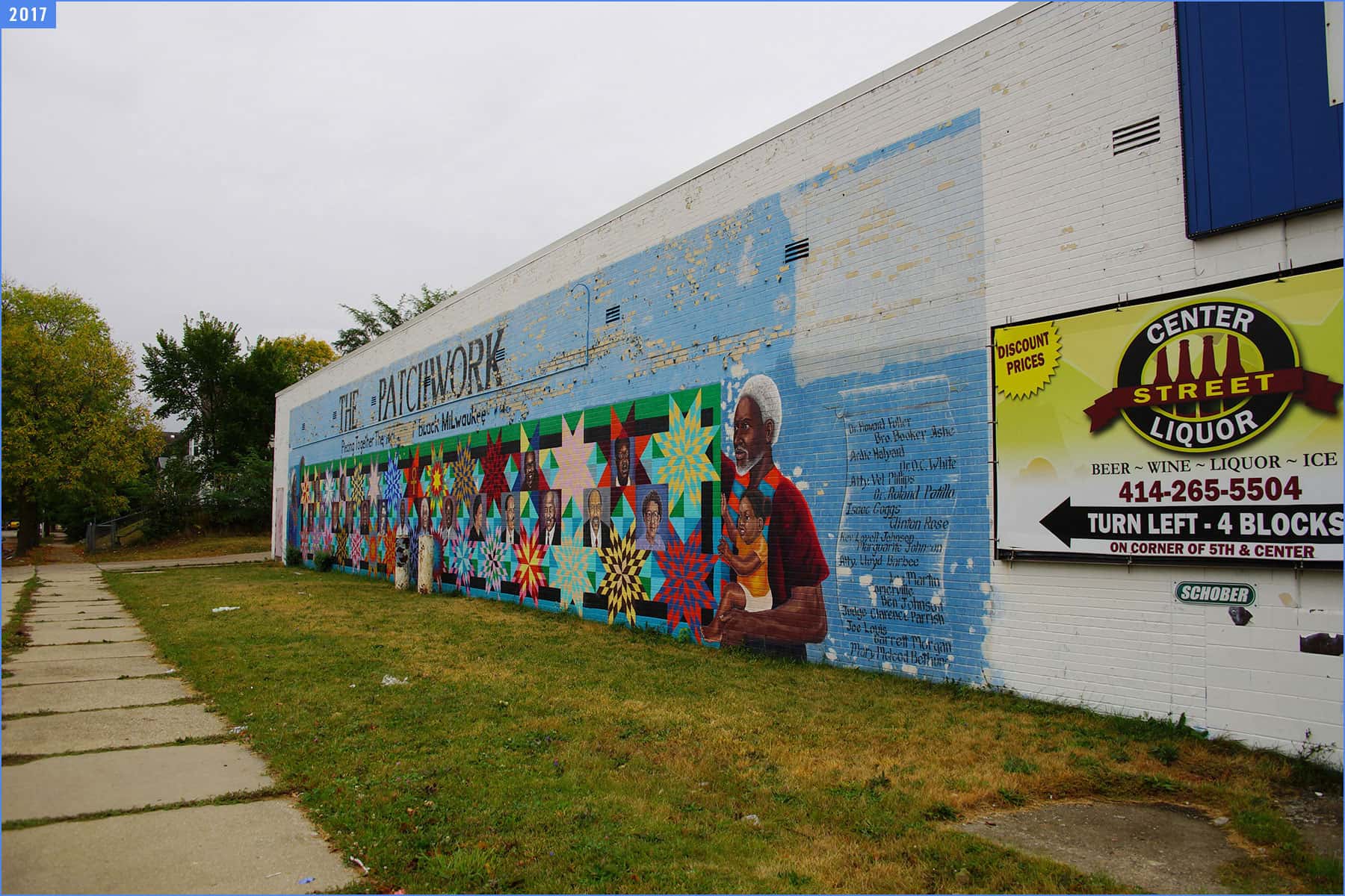
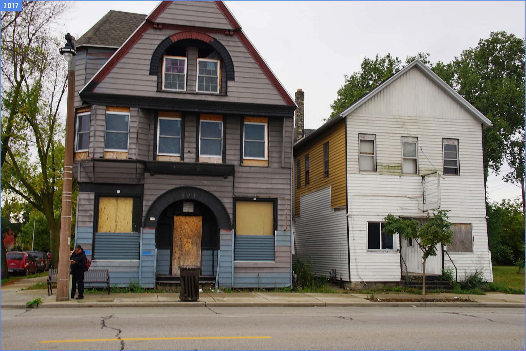
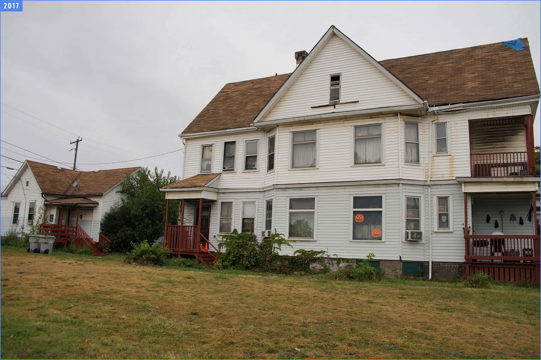
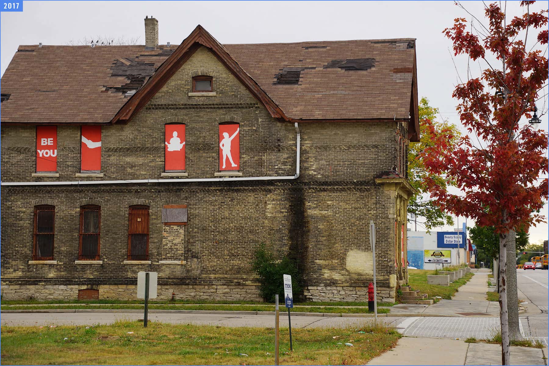
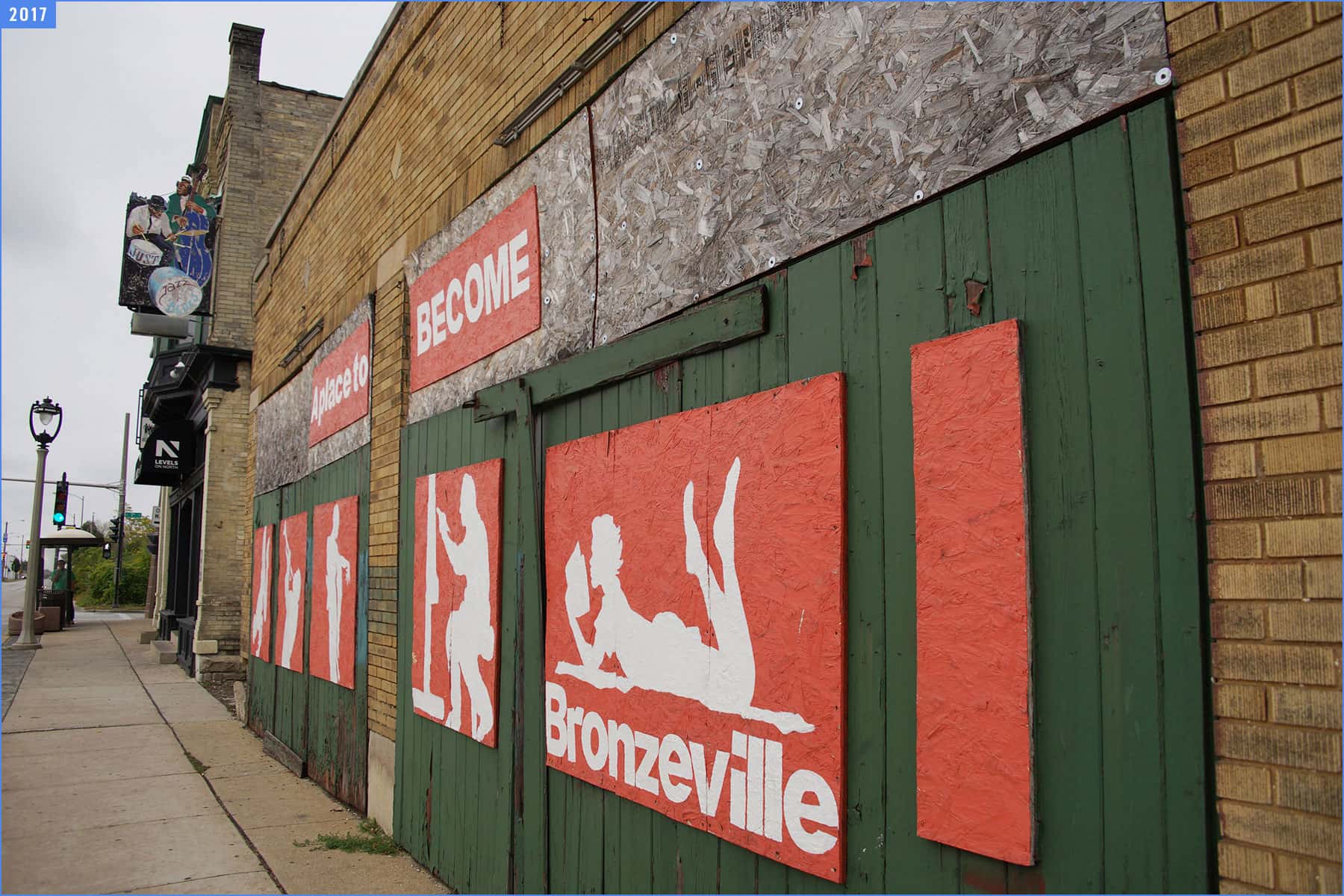
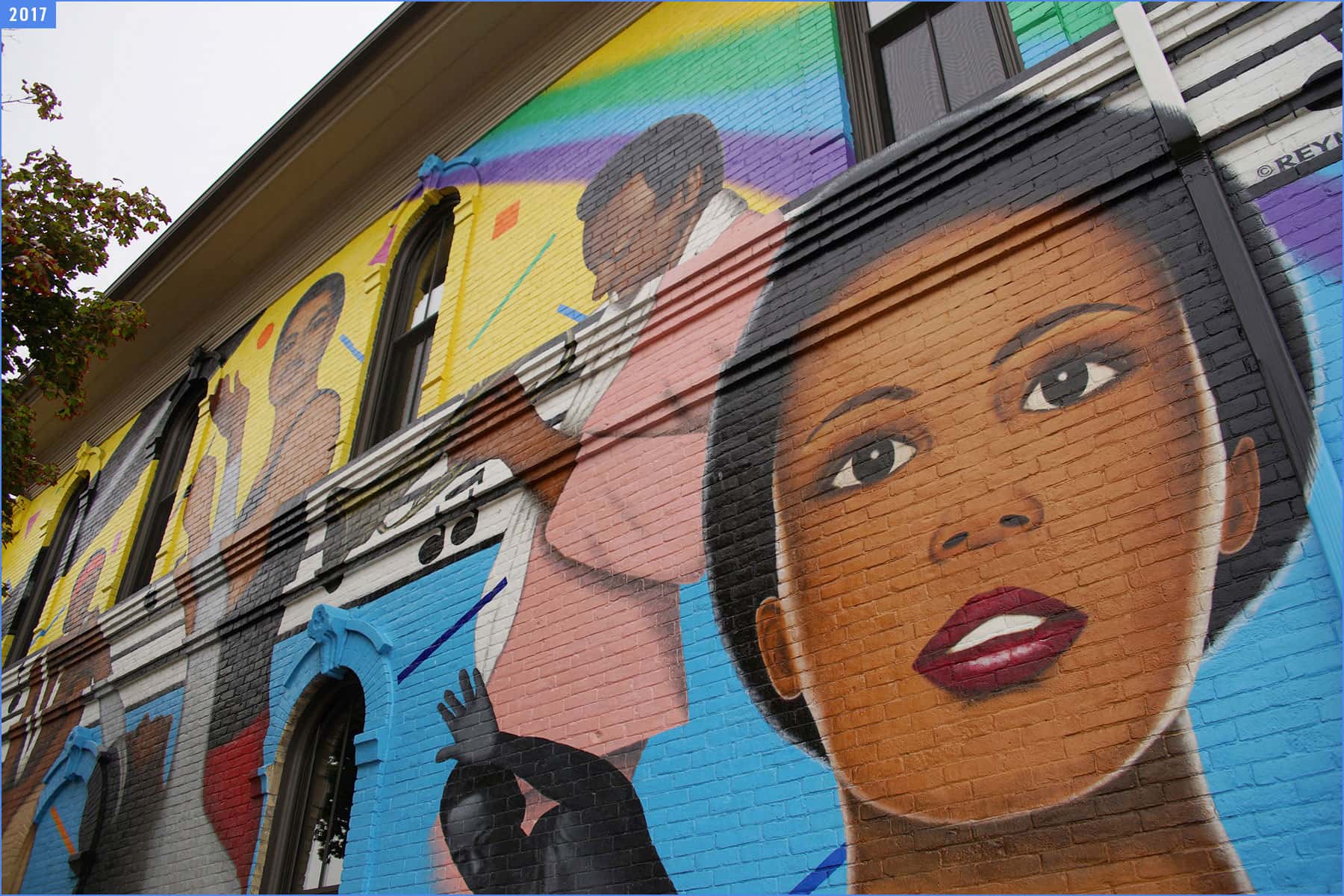
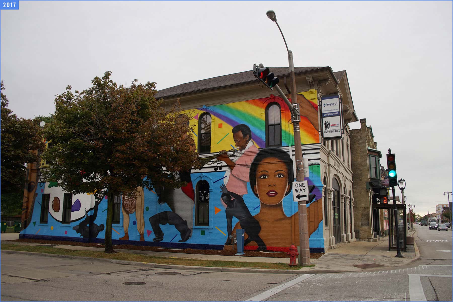
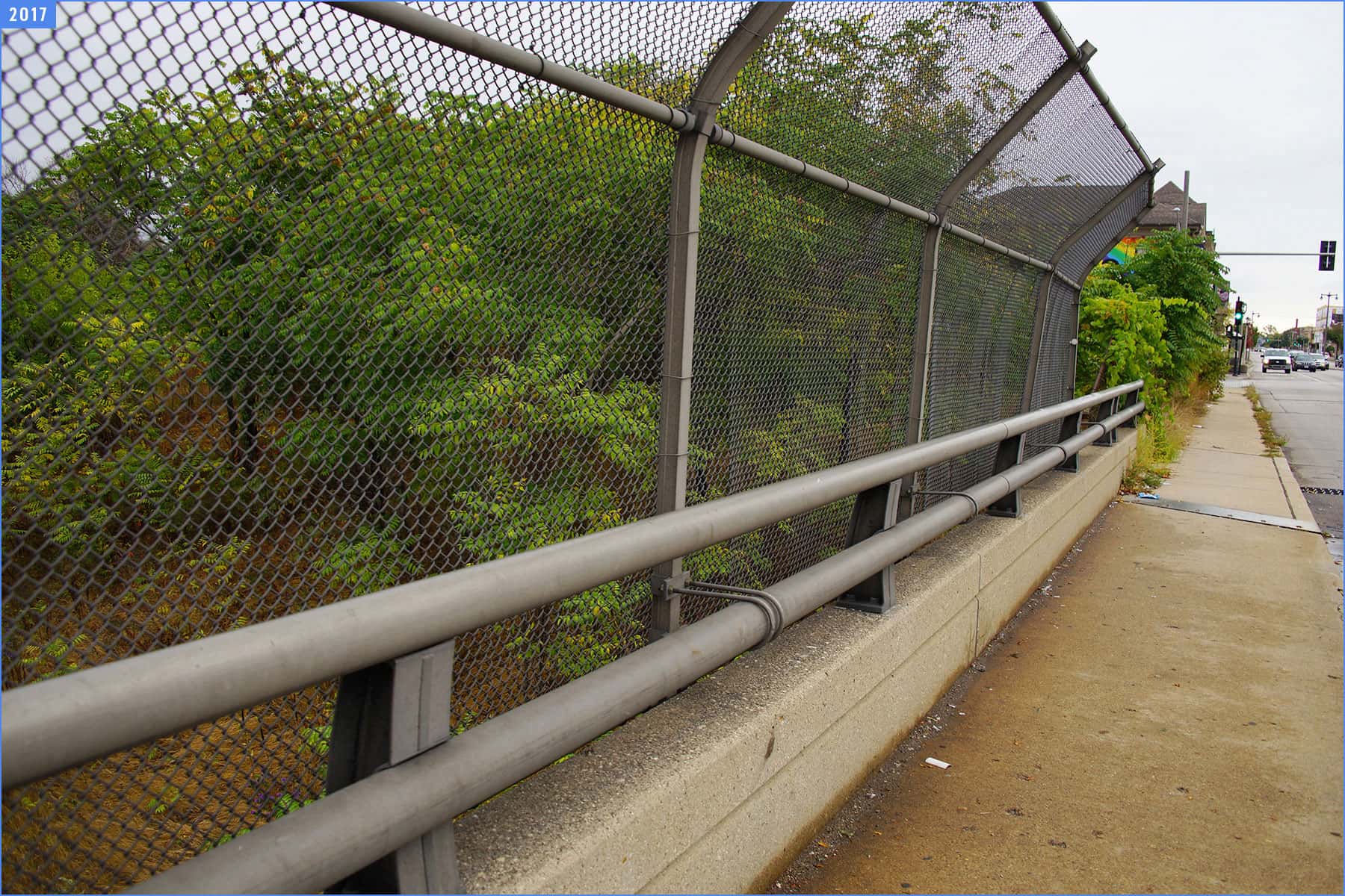
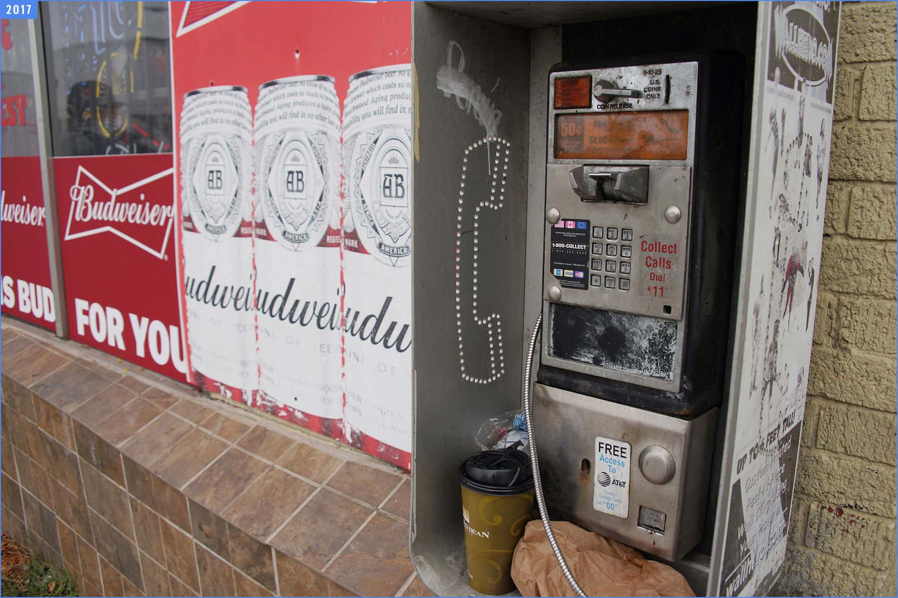
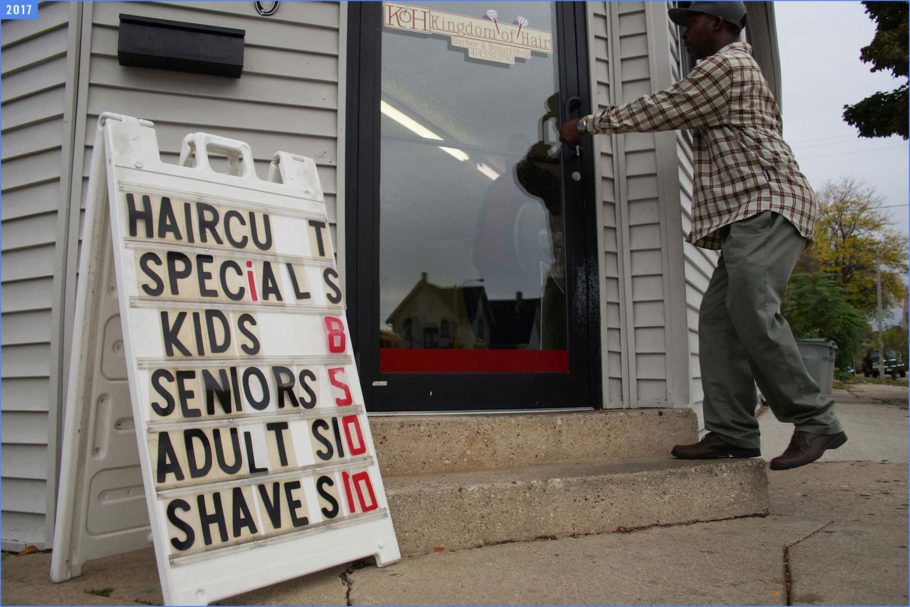
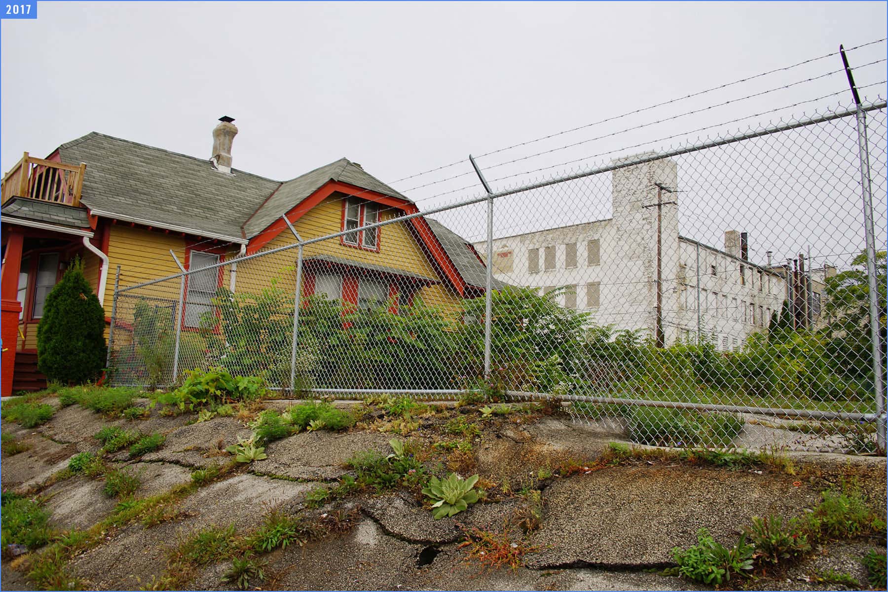
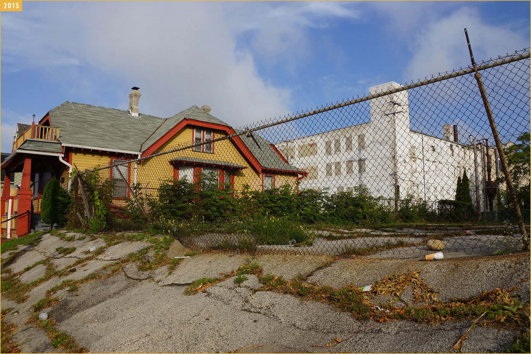
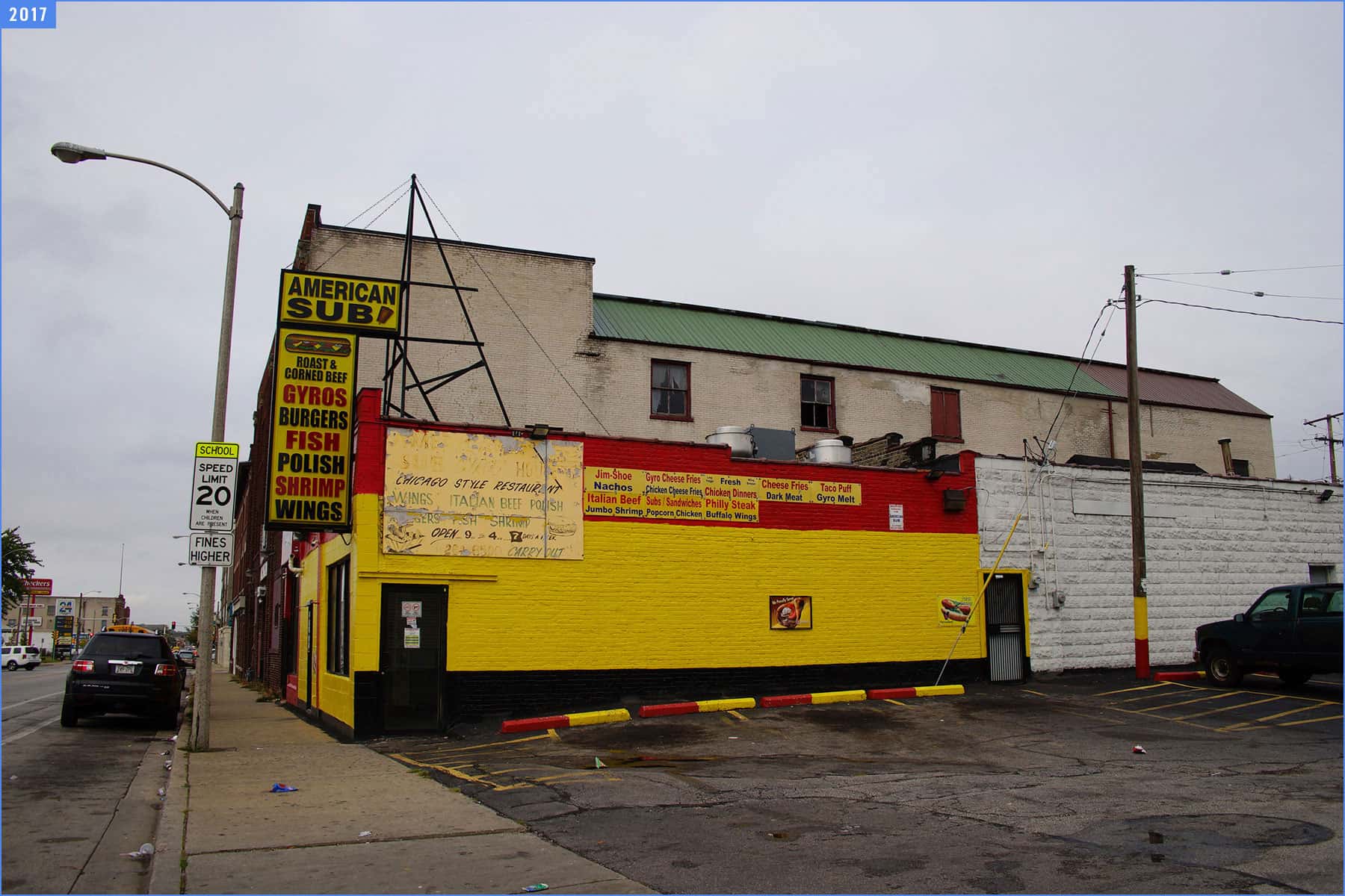
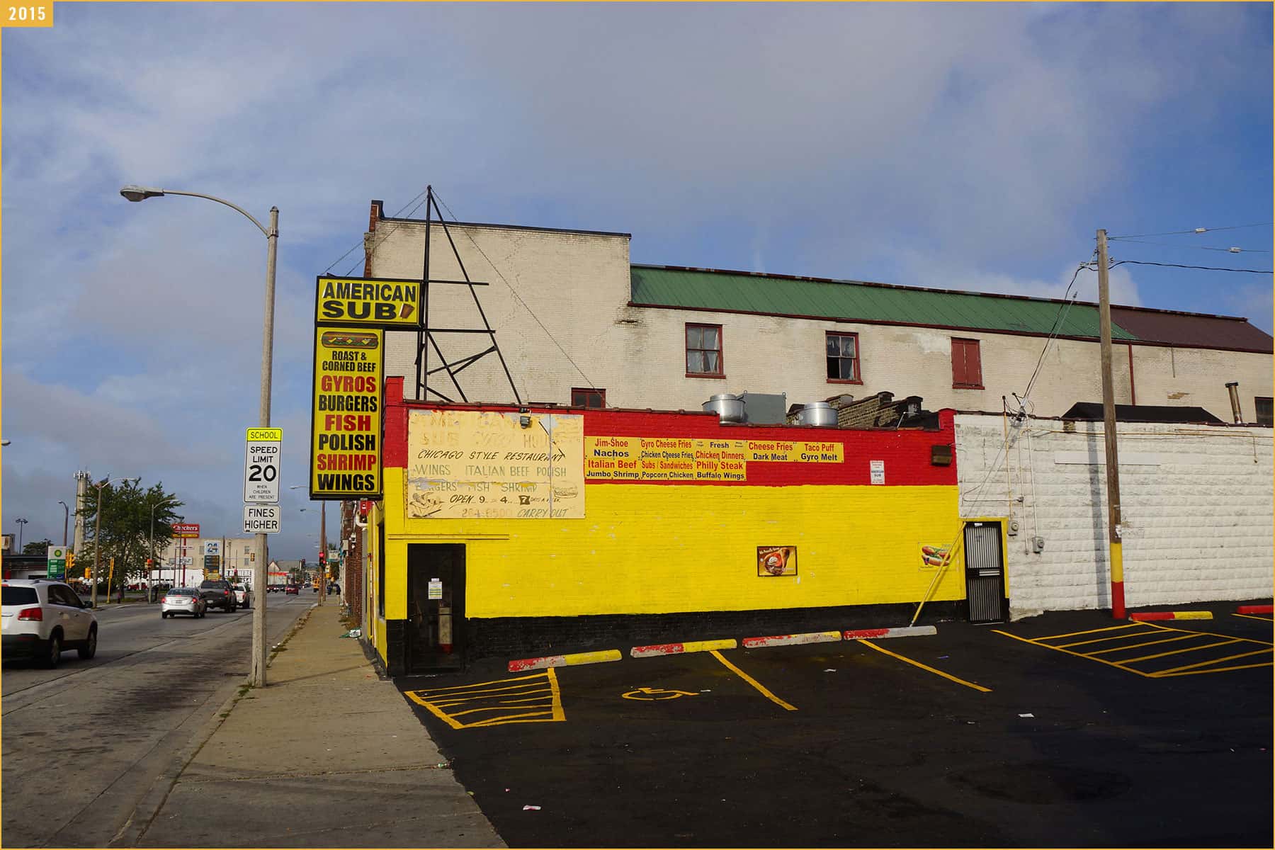
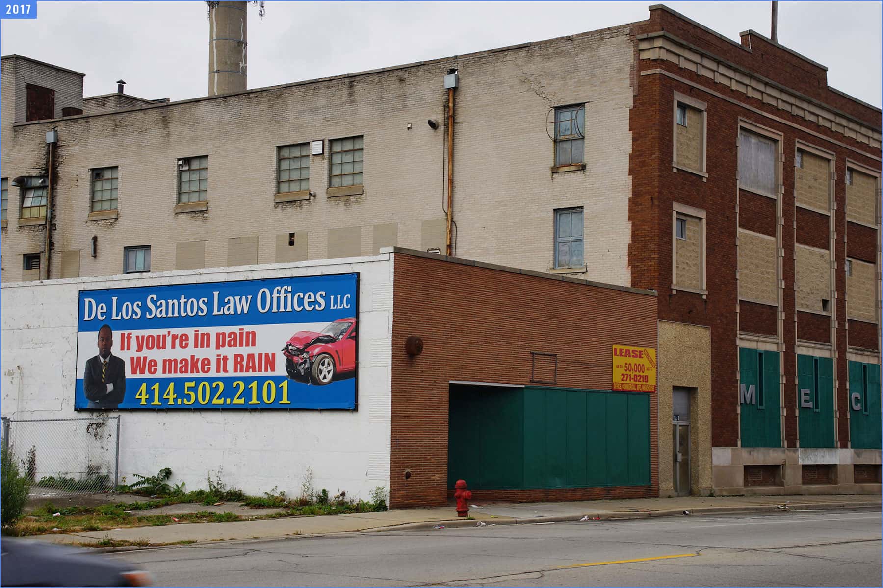
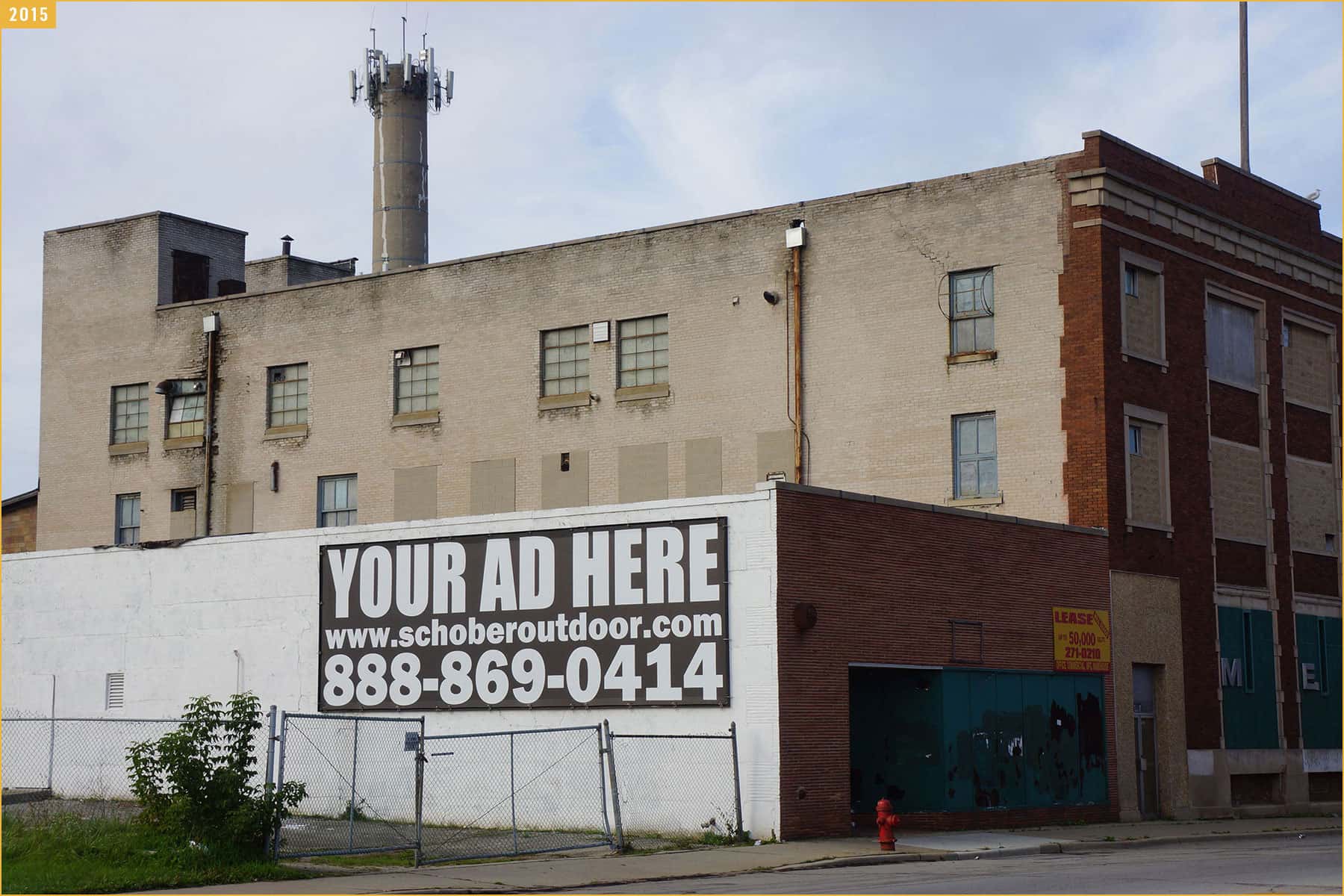
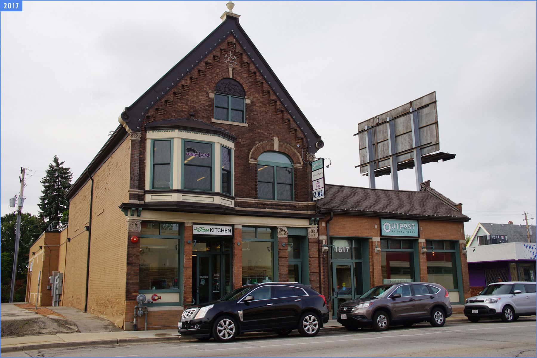
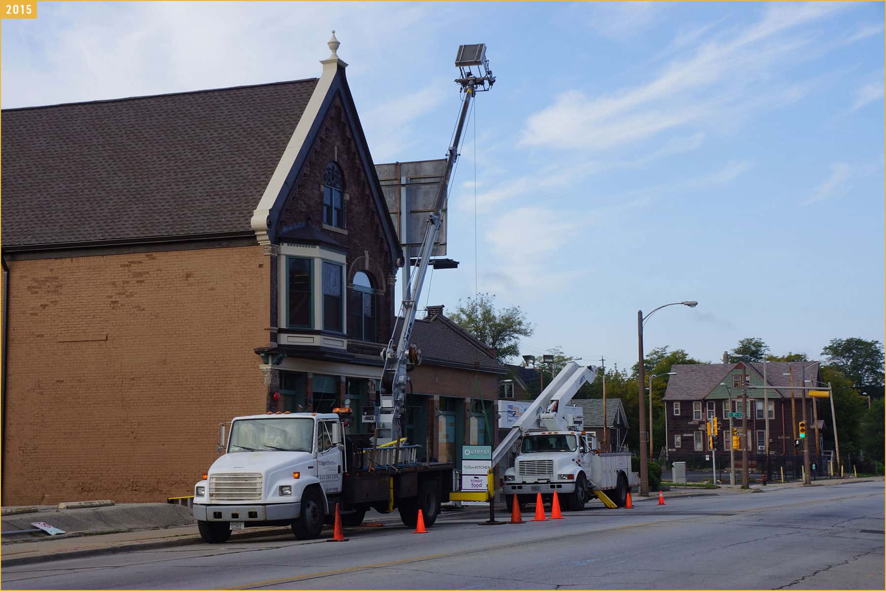
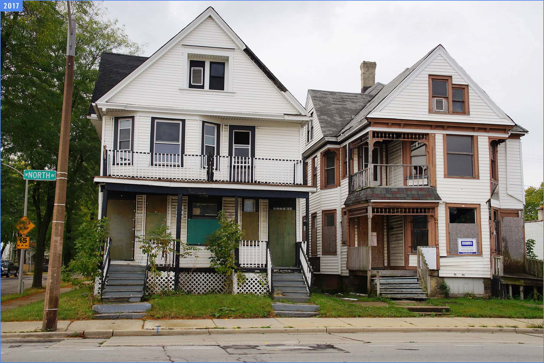
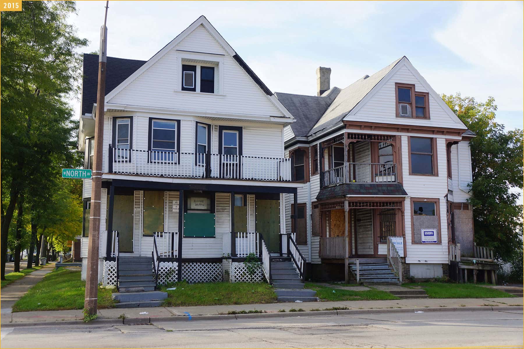
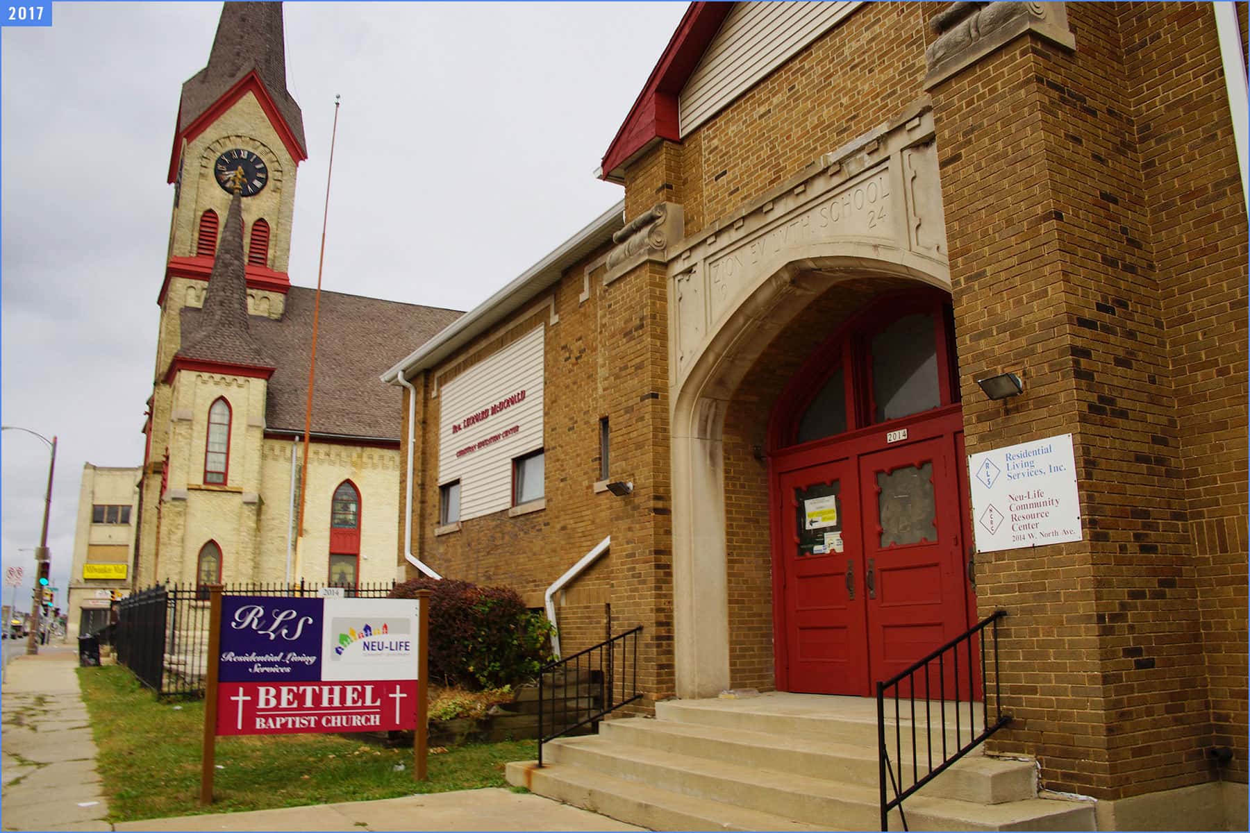
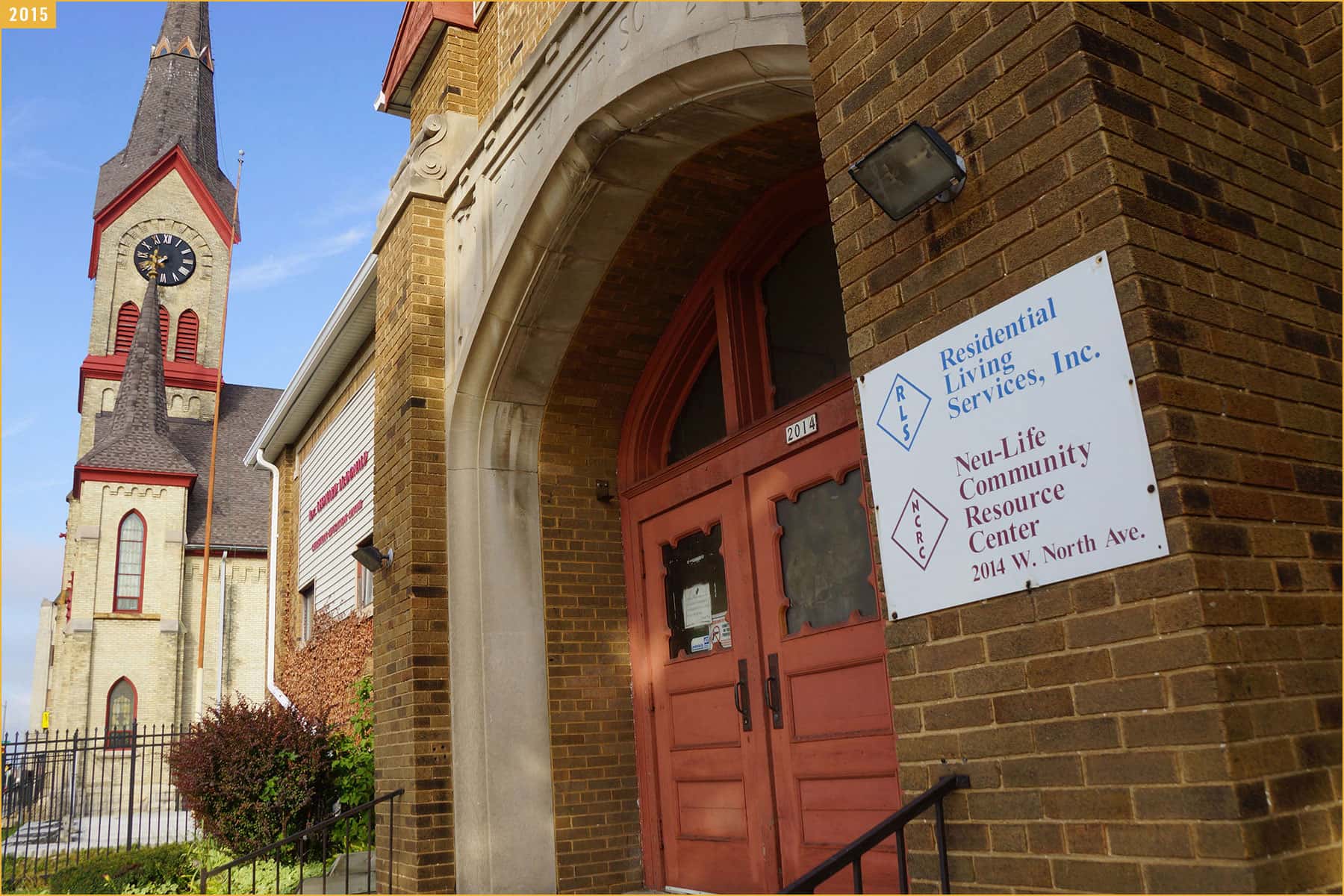
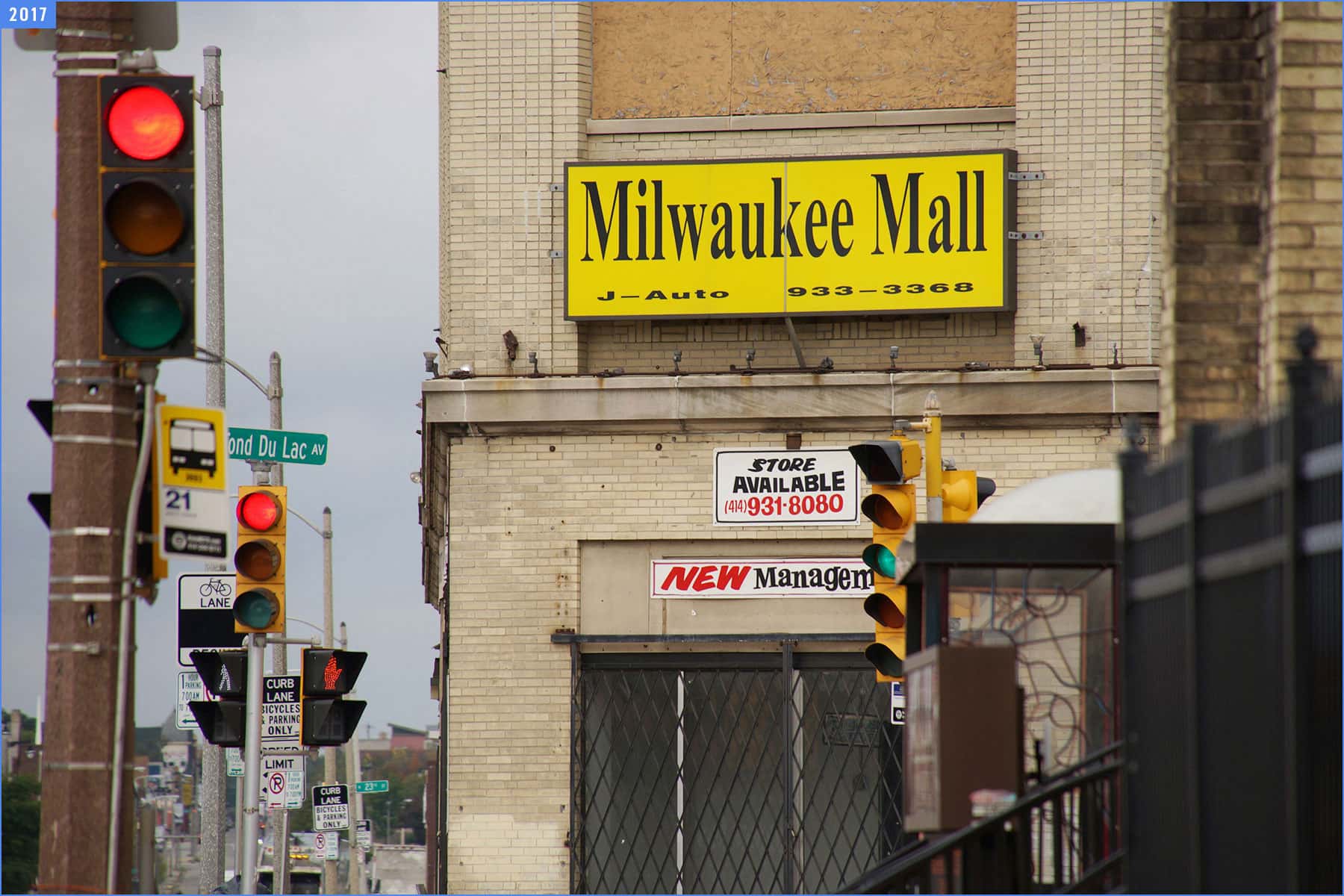
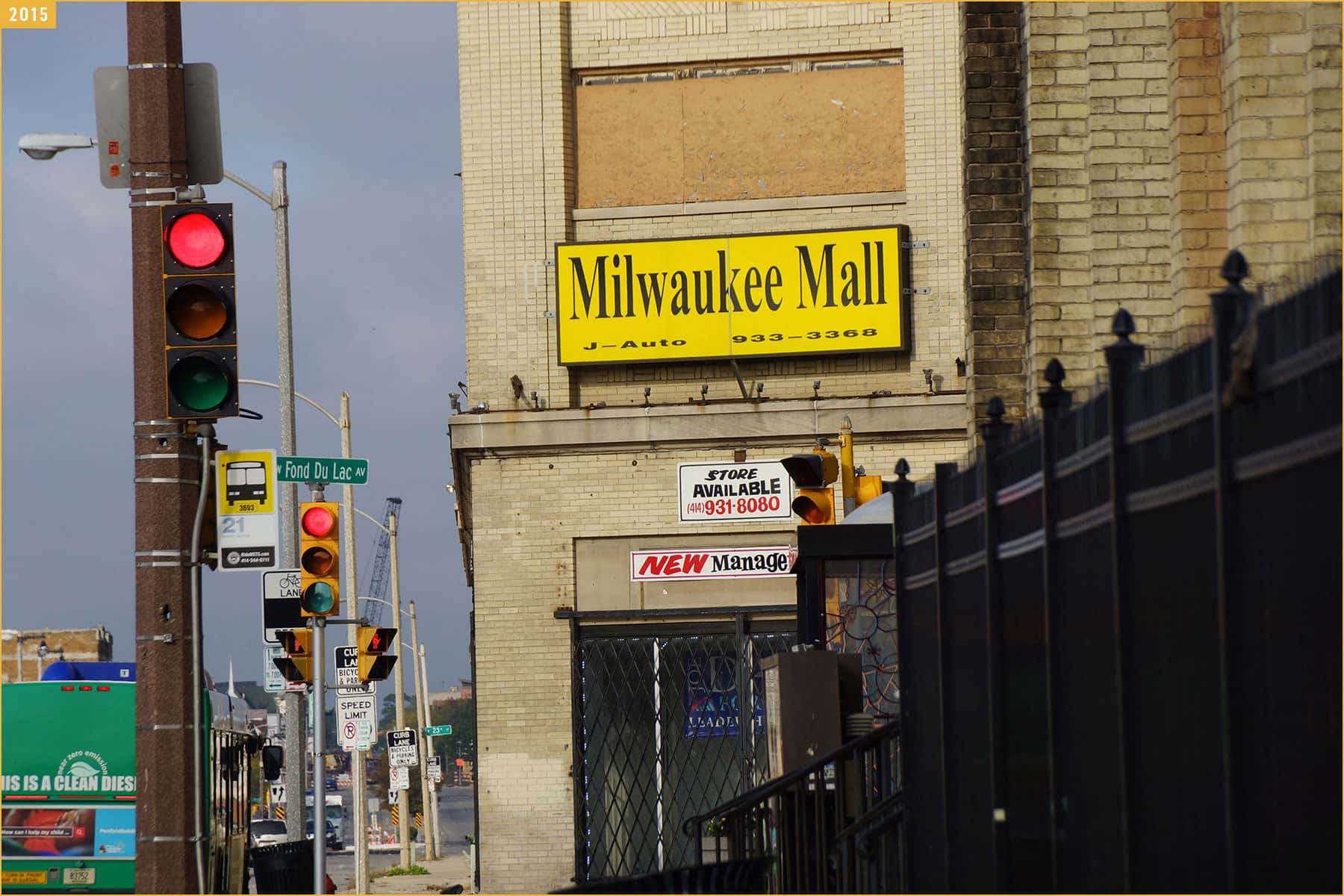
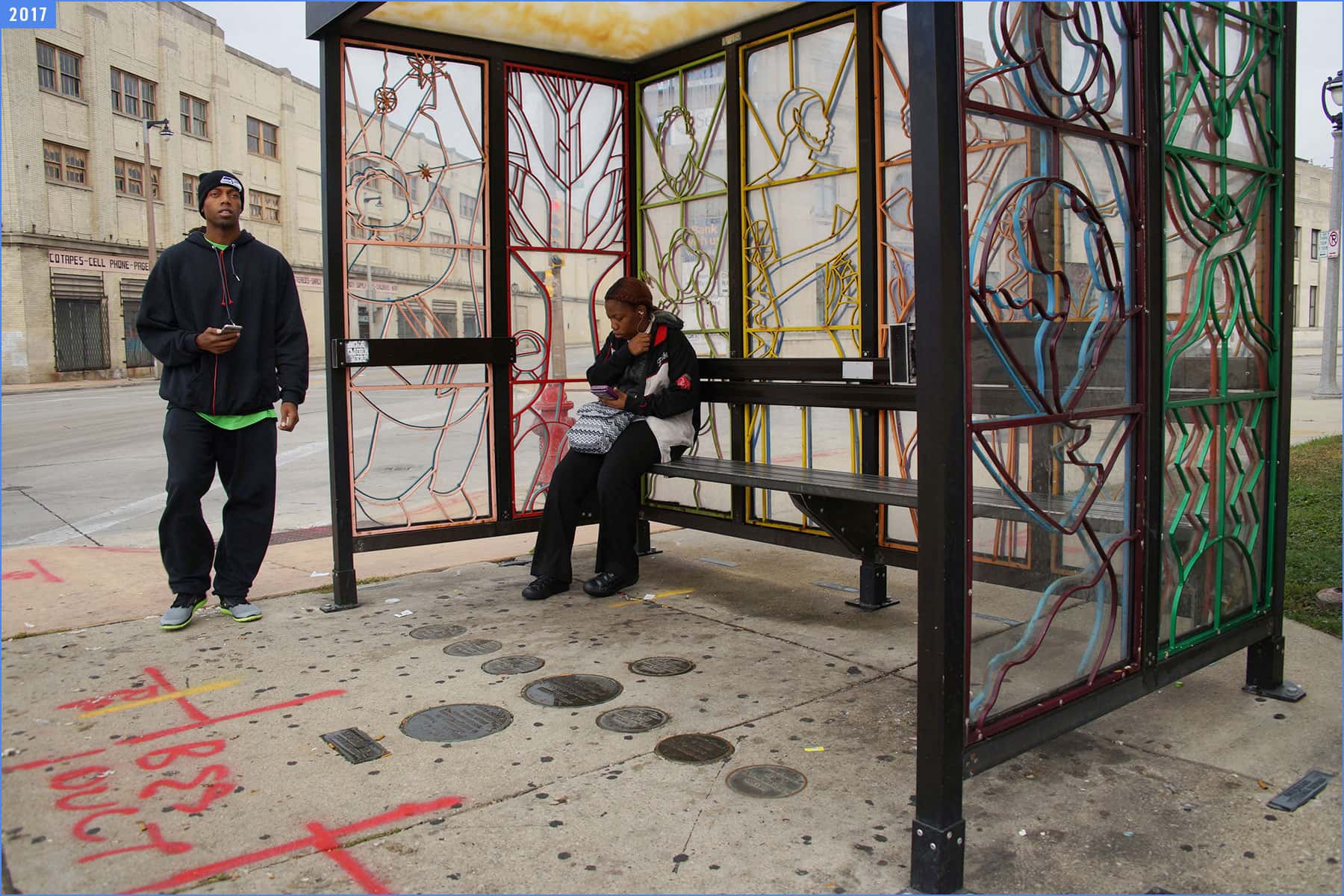
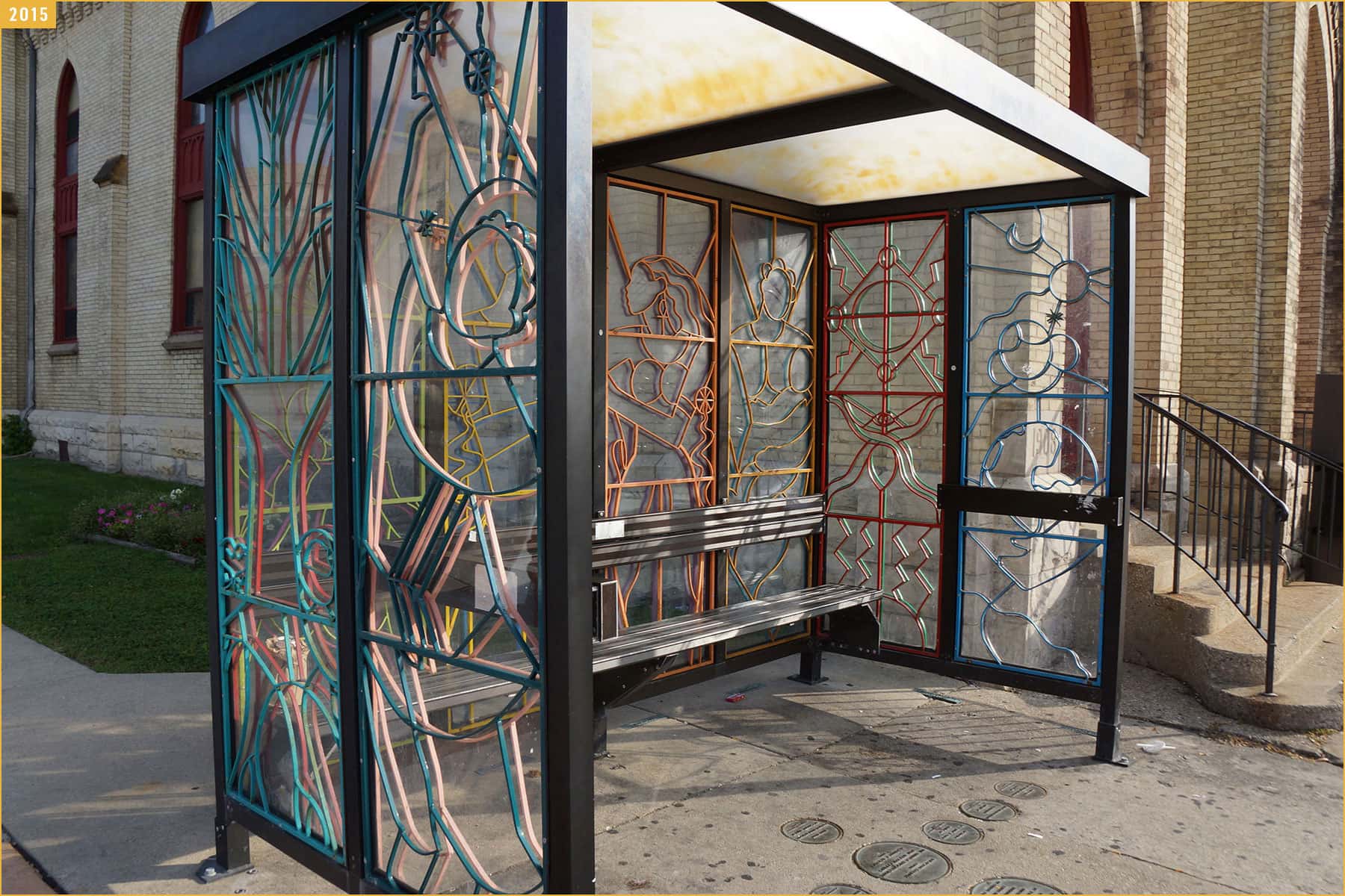
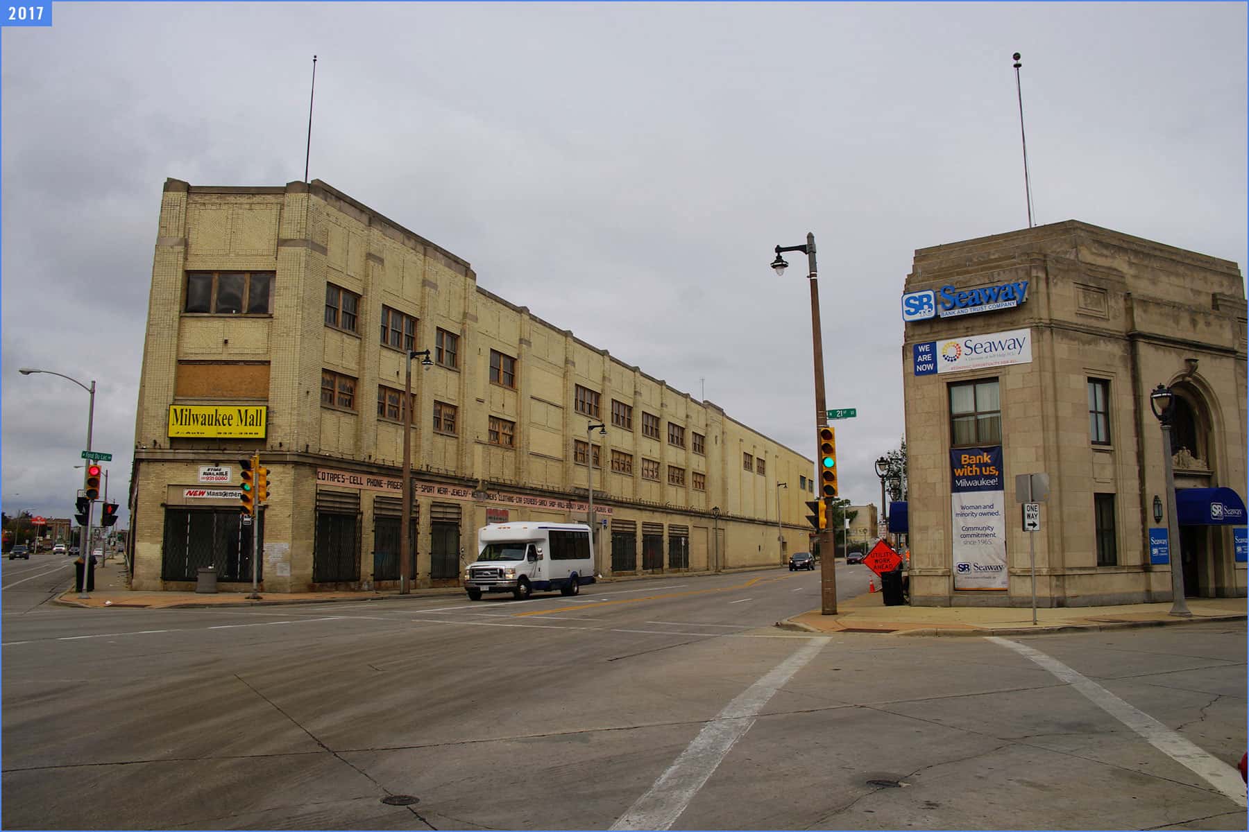
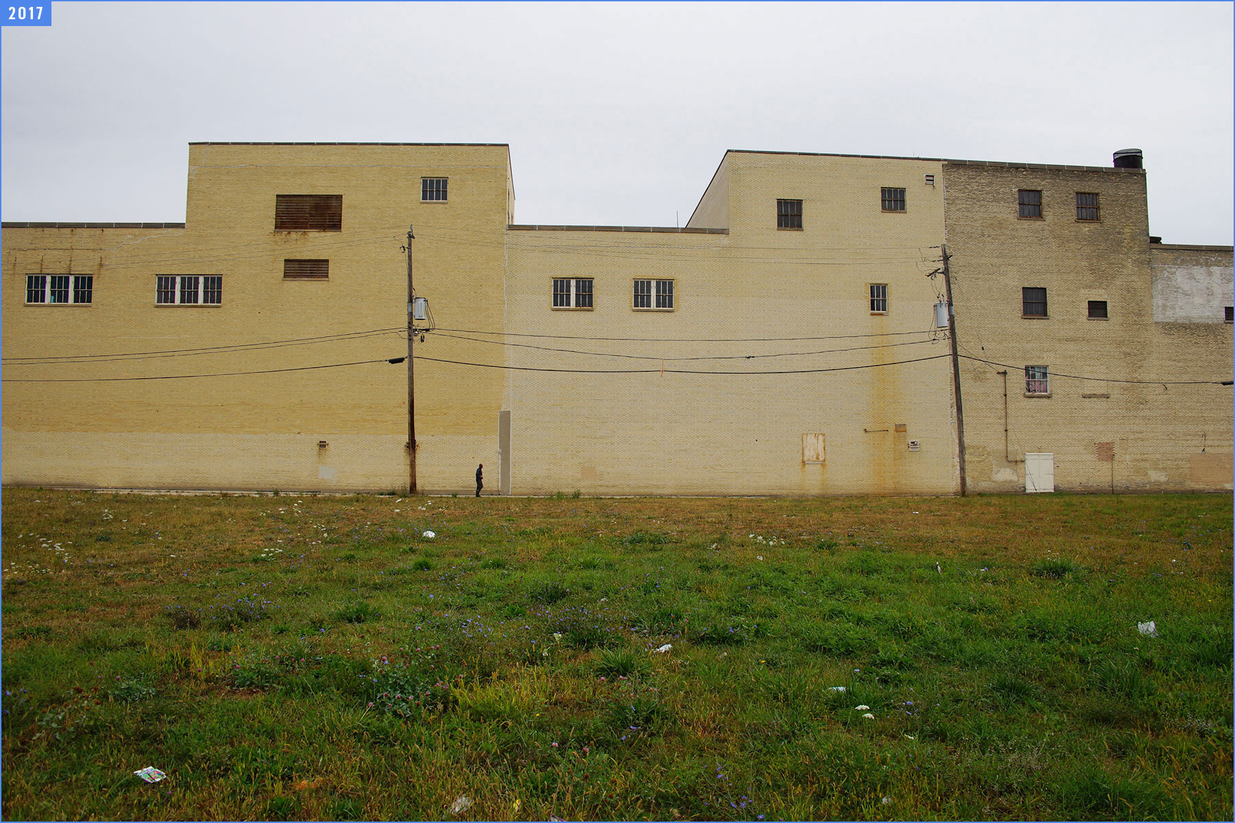
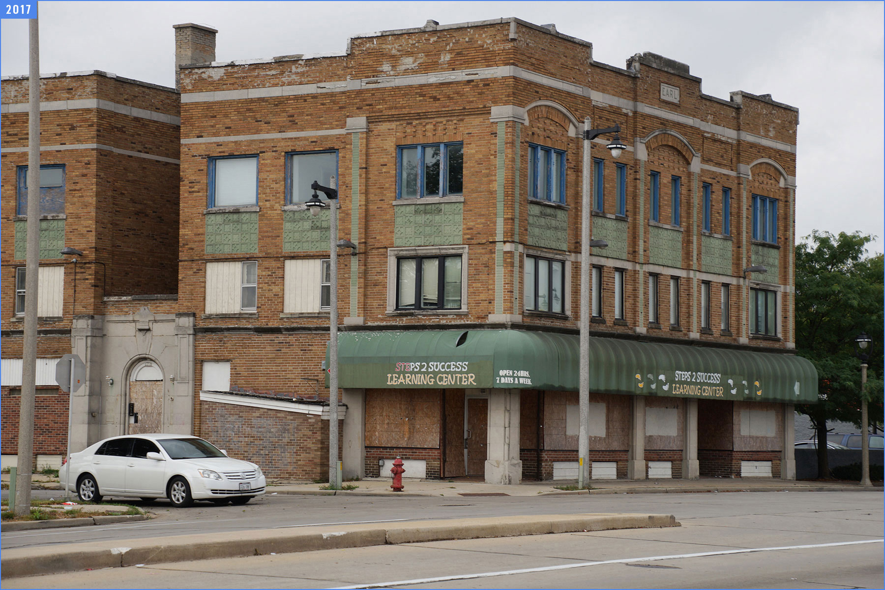
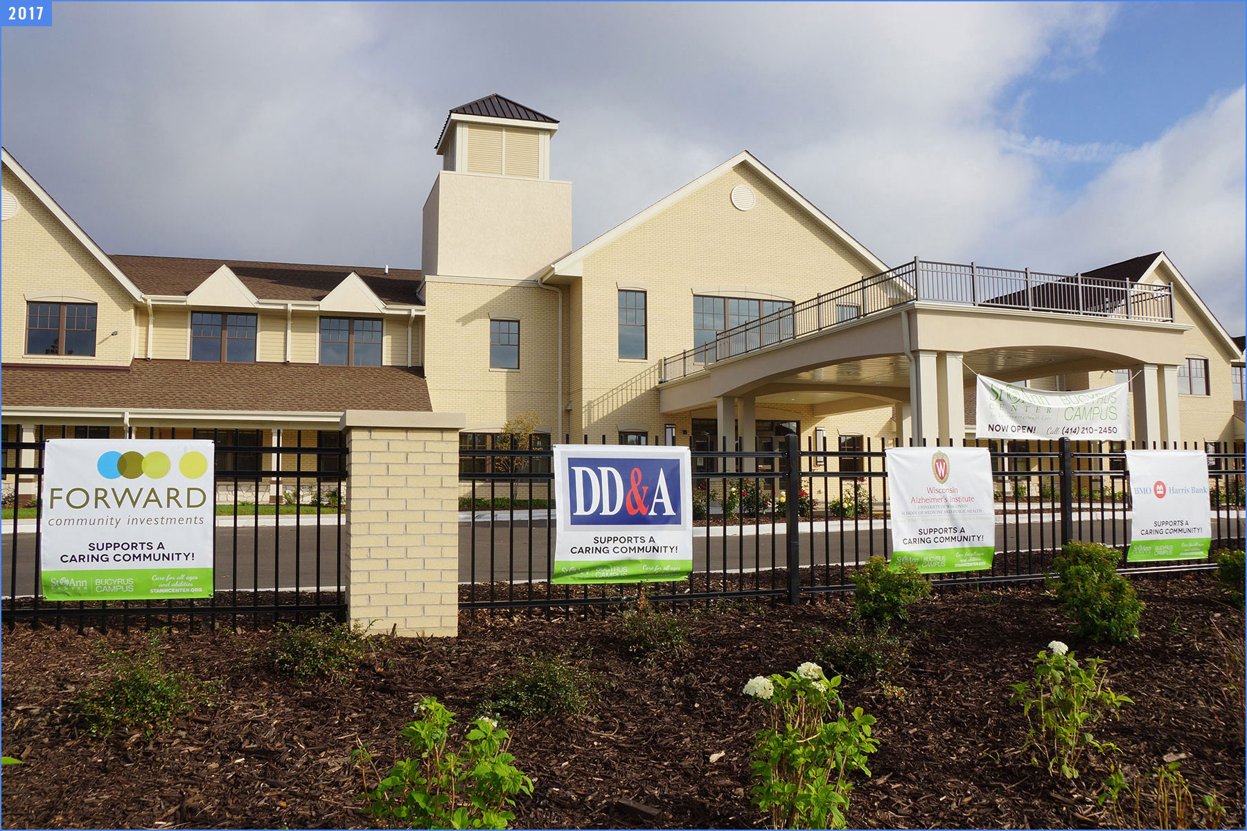
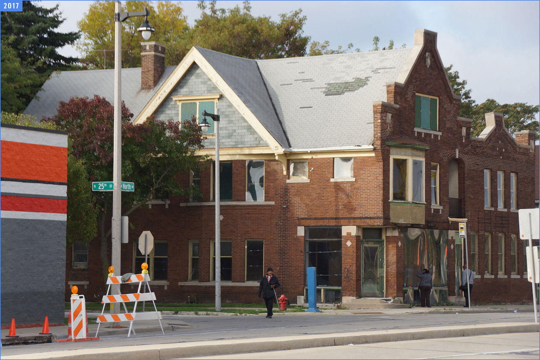
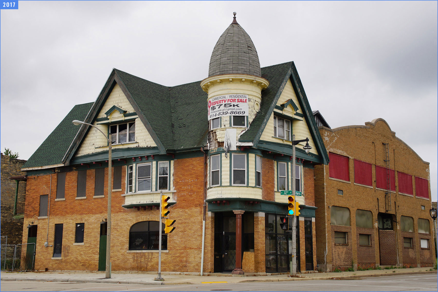
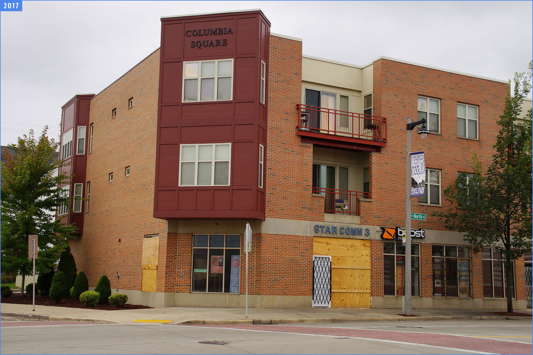
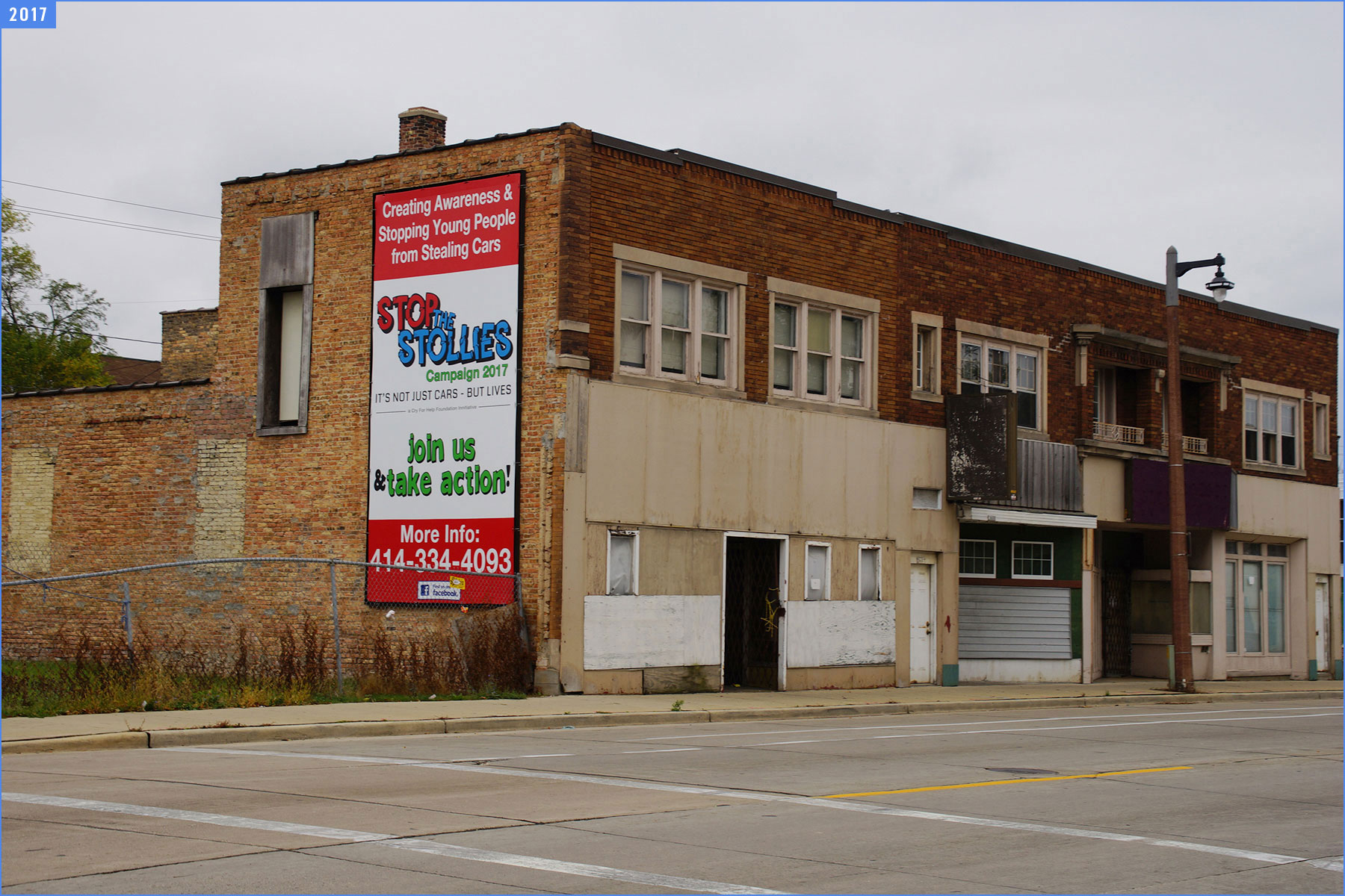
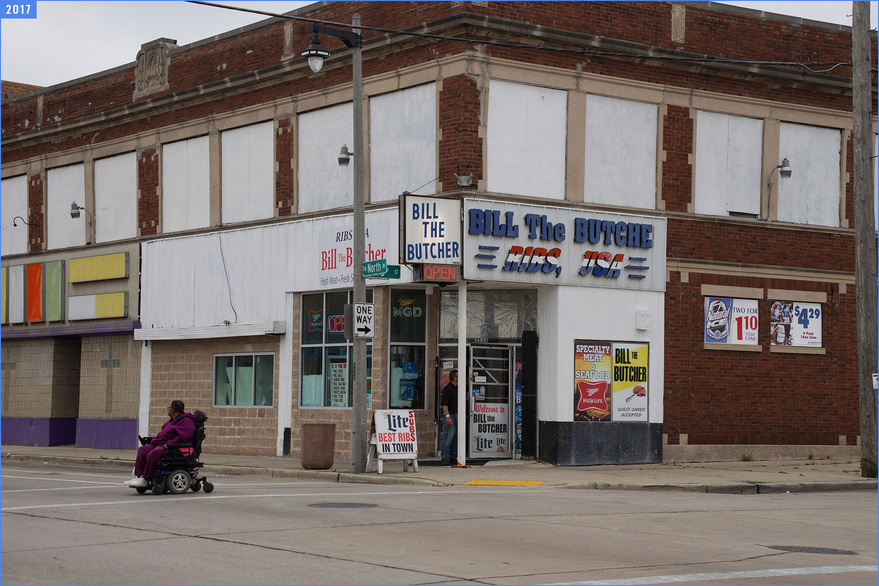
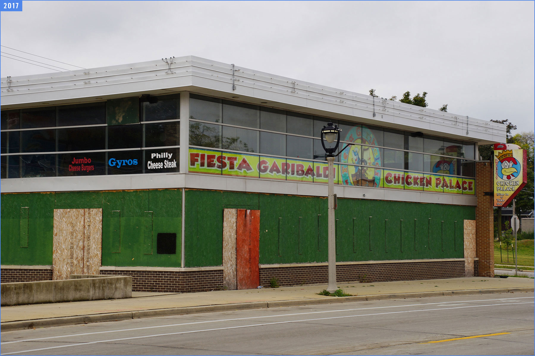
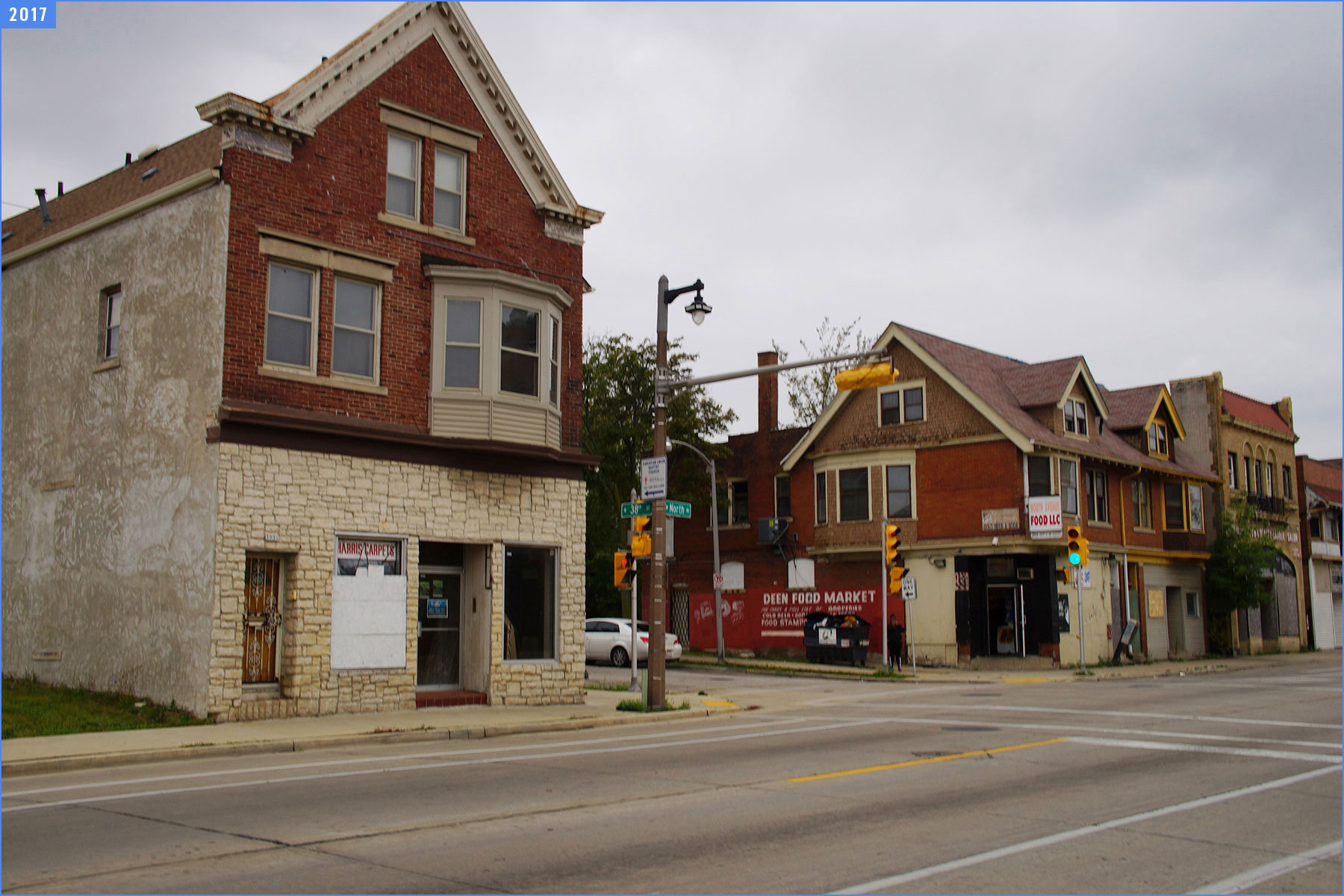
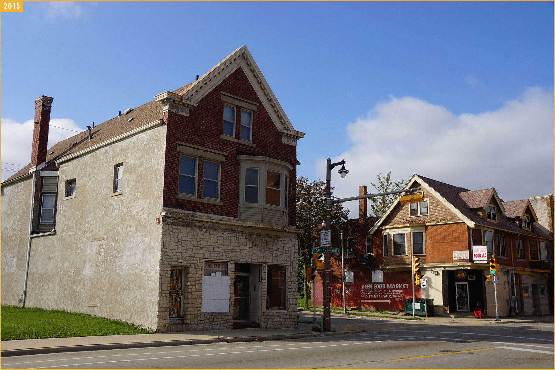
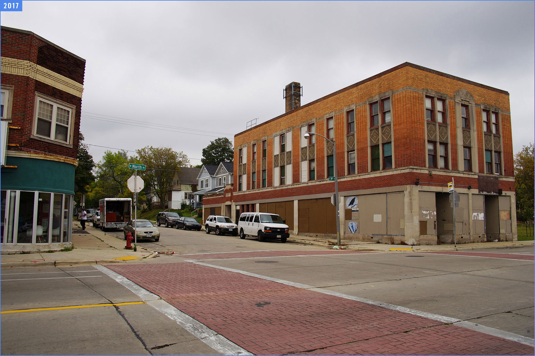
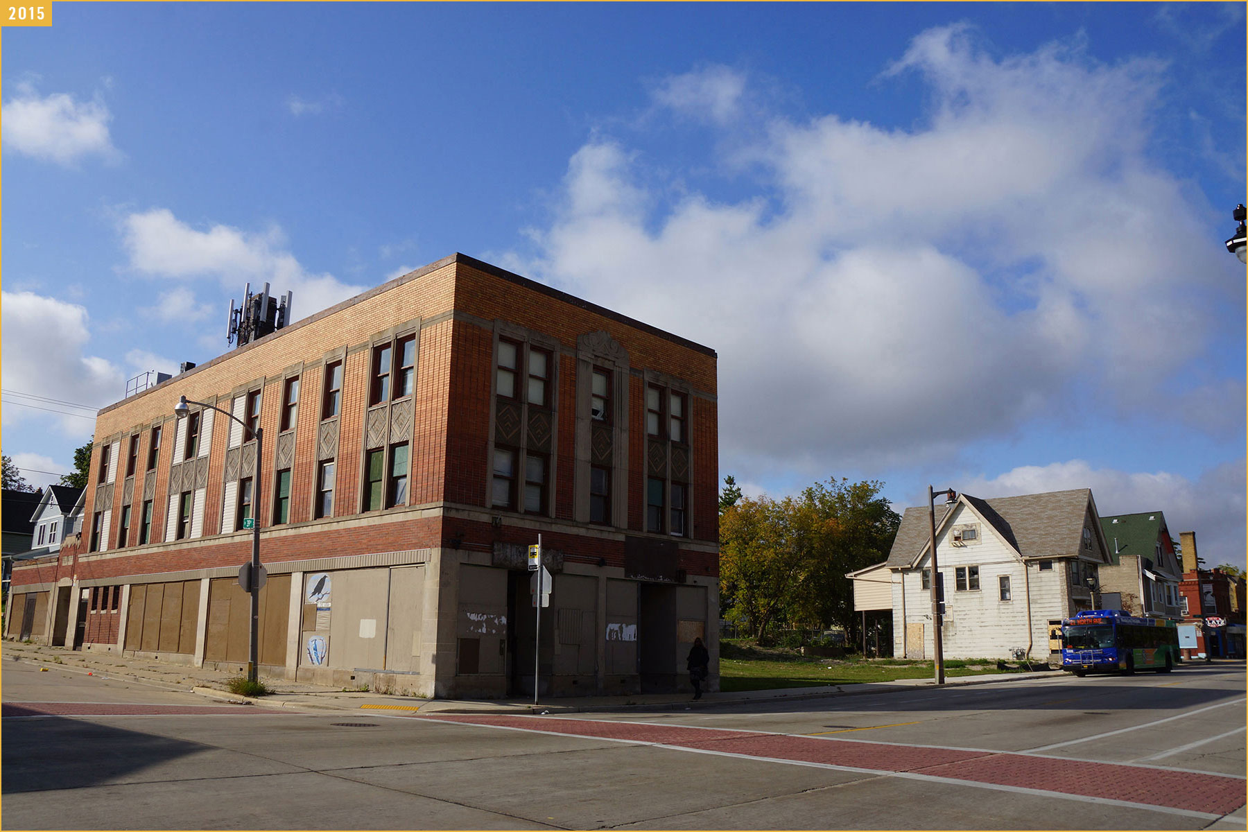
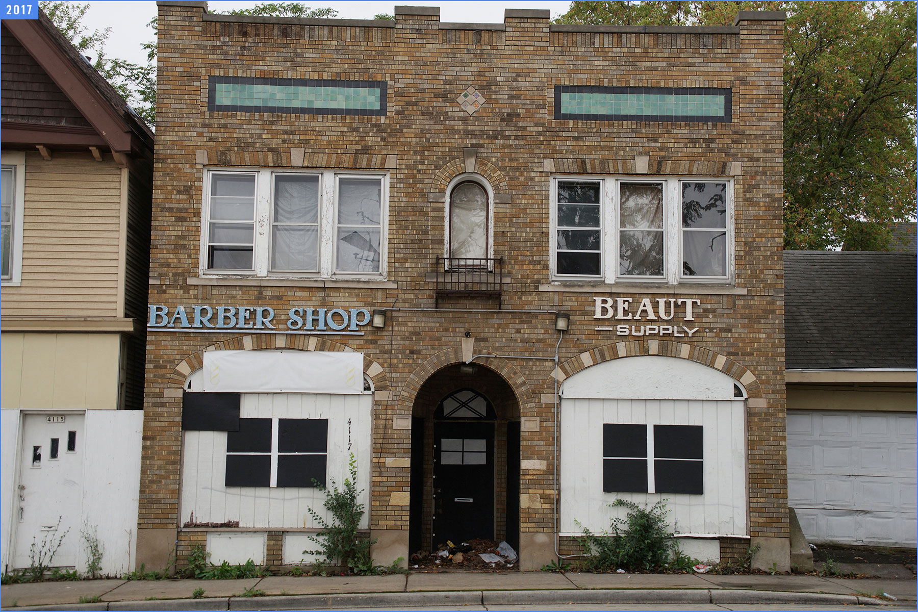
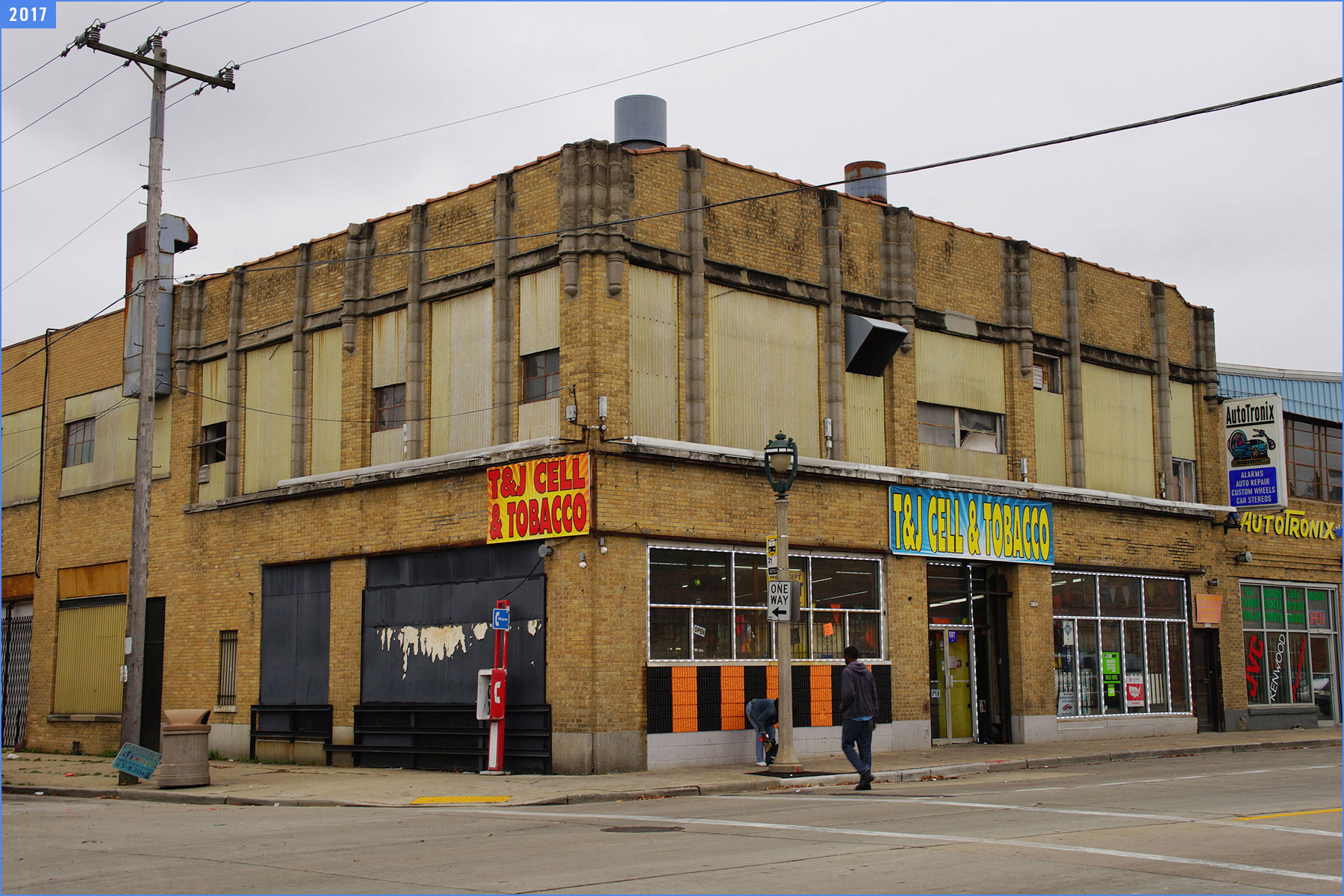
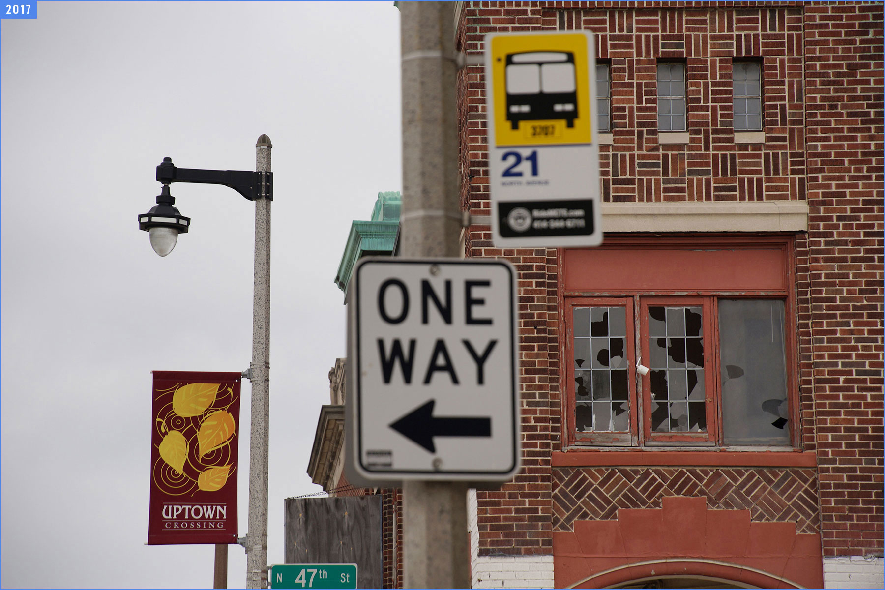
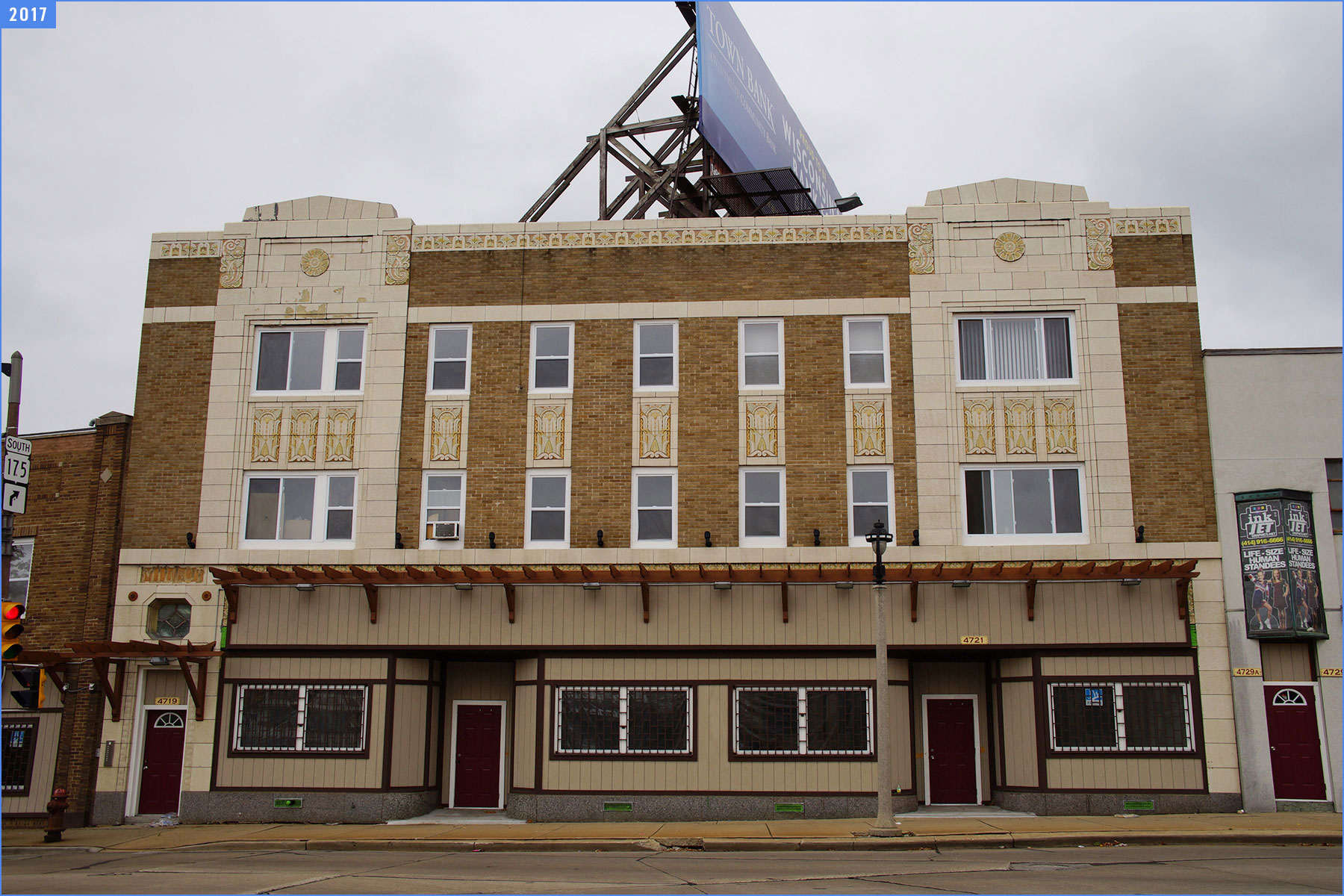
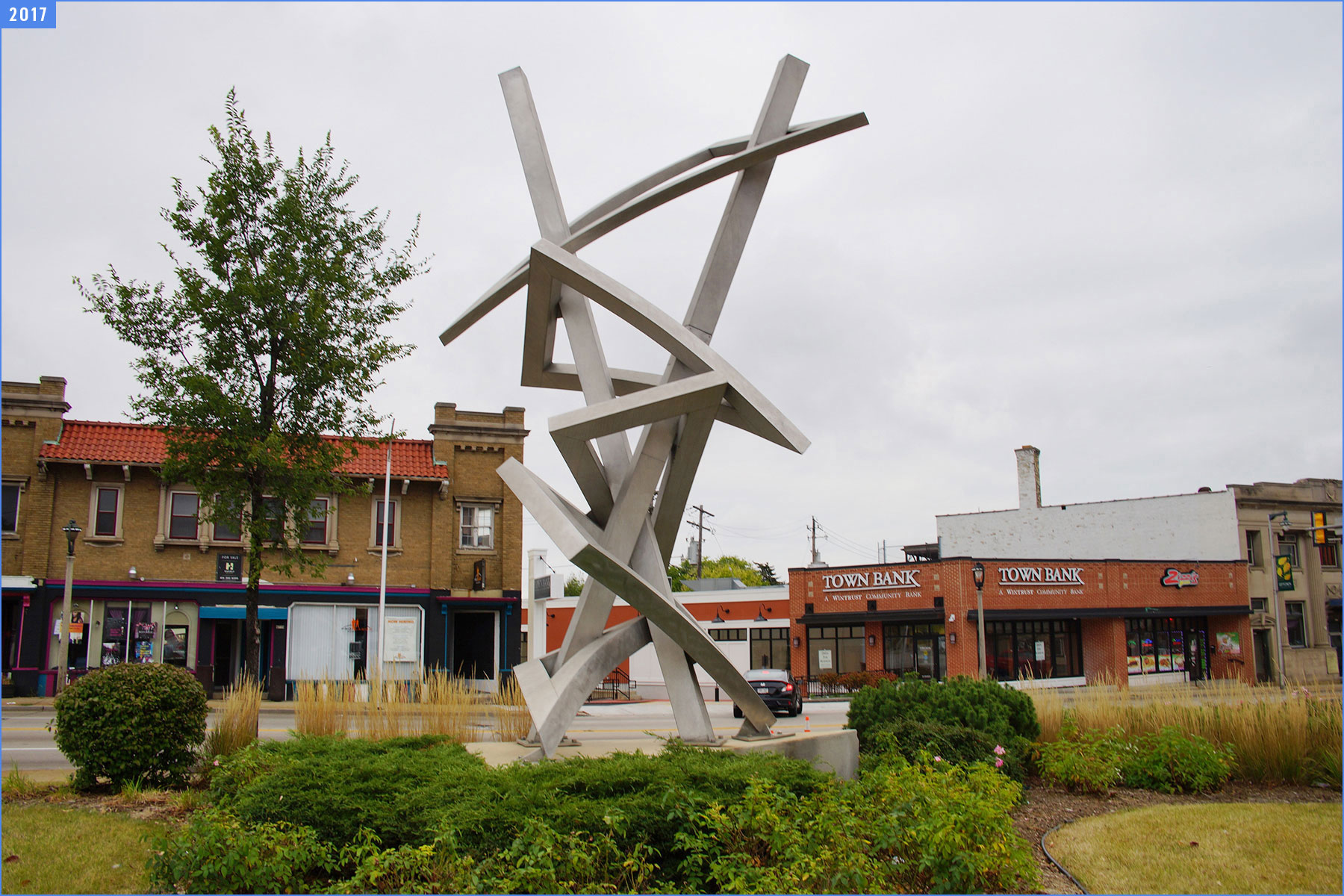
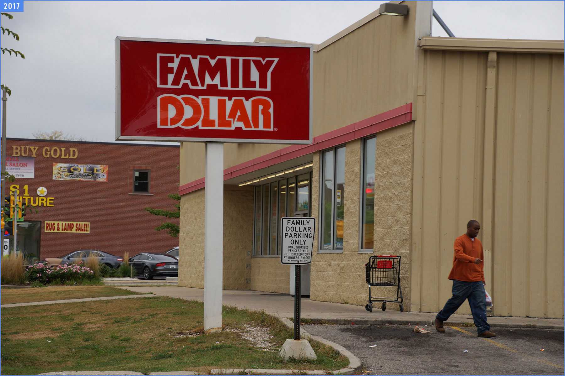
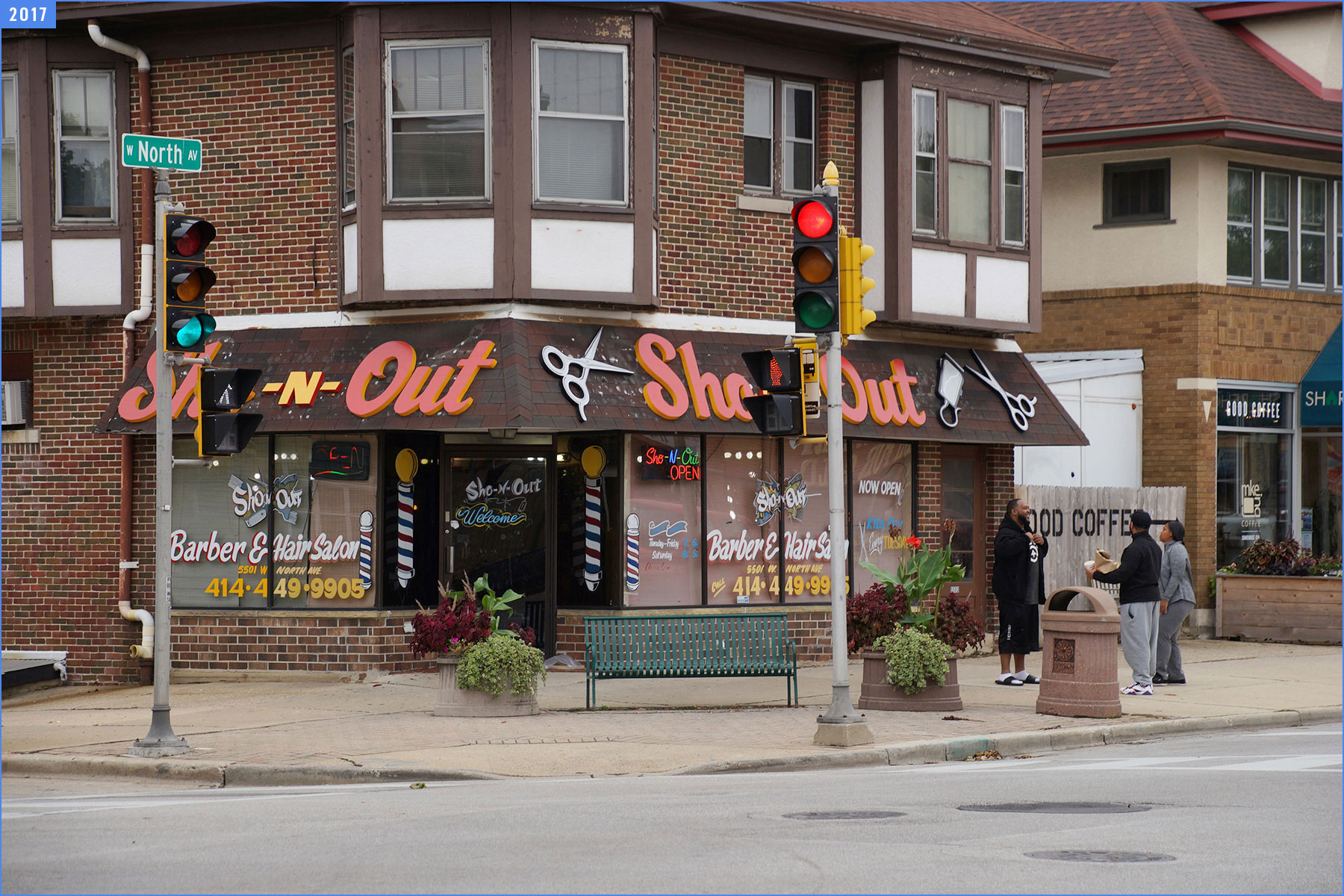
On the second anniversary of that journey, October 6, 2017, the Milwaukee Independent retraced those steps to map and record the momentum of progress and state of development along the vital social and economic route that spans the entire length of the city.
The North Avenue Corridor. 84 blocks. 5.5 miles. 4 hours on foot.
Milwaukee is fortunate to have many hiking and biking paths, such as the The Oak Leaf Trail and Hank Aaron State Trail. These routes connect the edges of urbanization with the original natural forestry that first attracted the city’s foundation.
As a roadway, North Avenue is a trail of sorts that weaves an unbroken course through diverse communities from Lake Michigan to the city of Wauwatosa.
And in many ways the asphalt street represents a symbolic Mississippi River from a Huckleberry Finn adventure from Mark Twain, as a conduit for meeting distinctly different people and places.
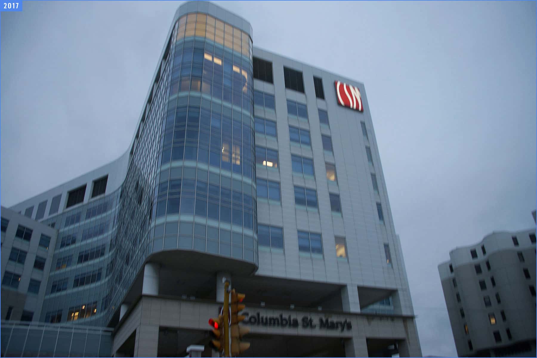
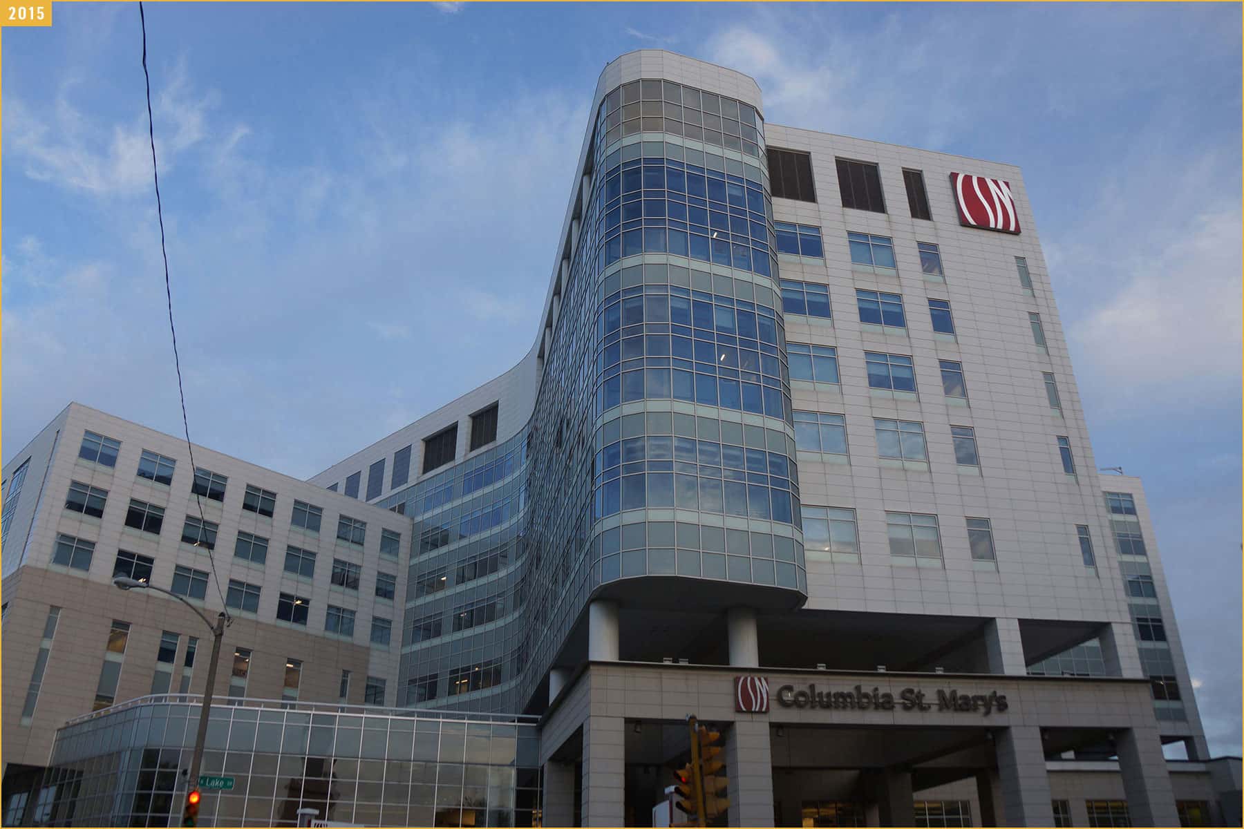
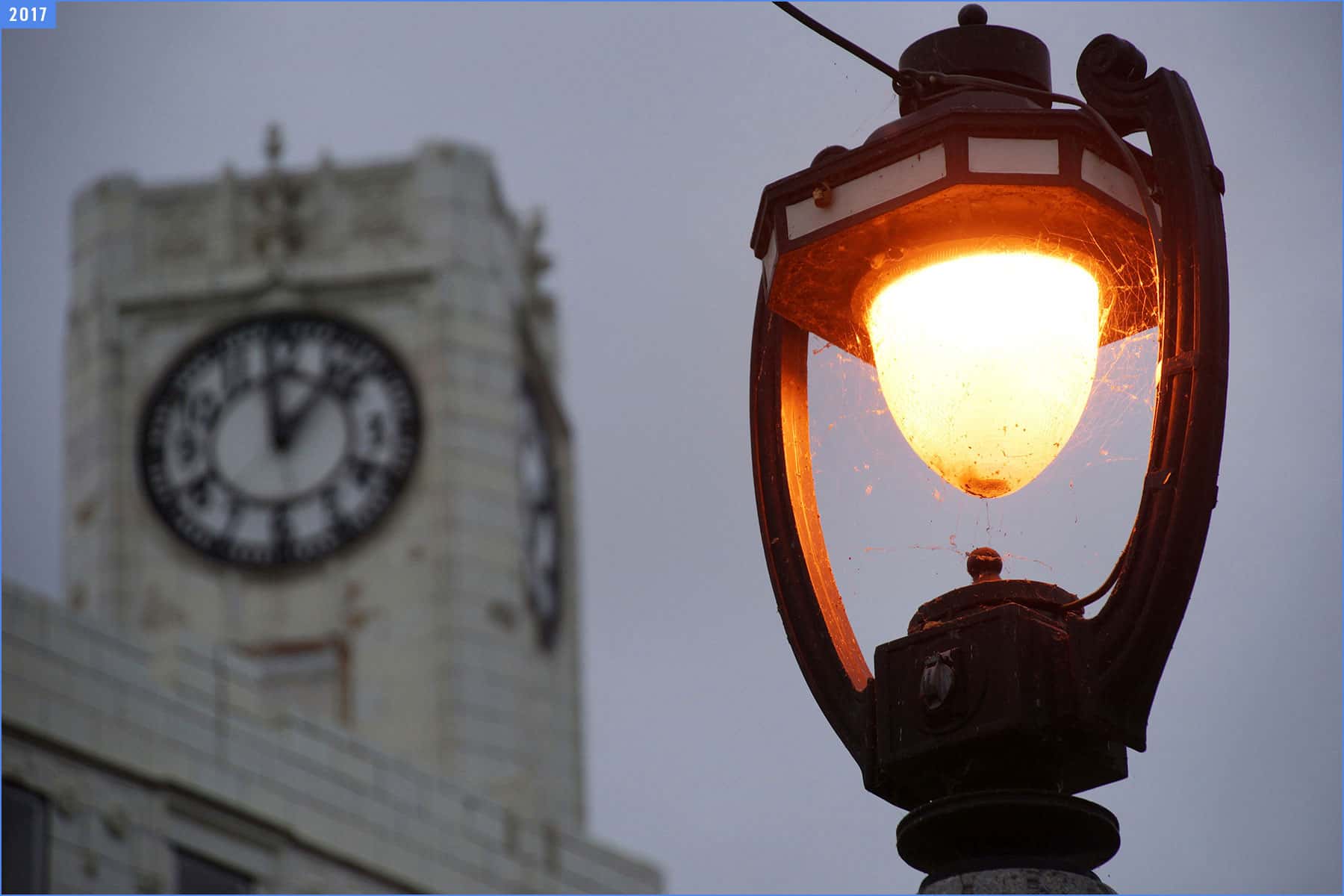
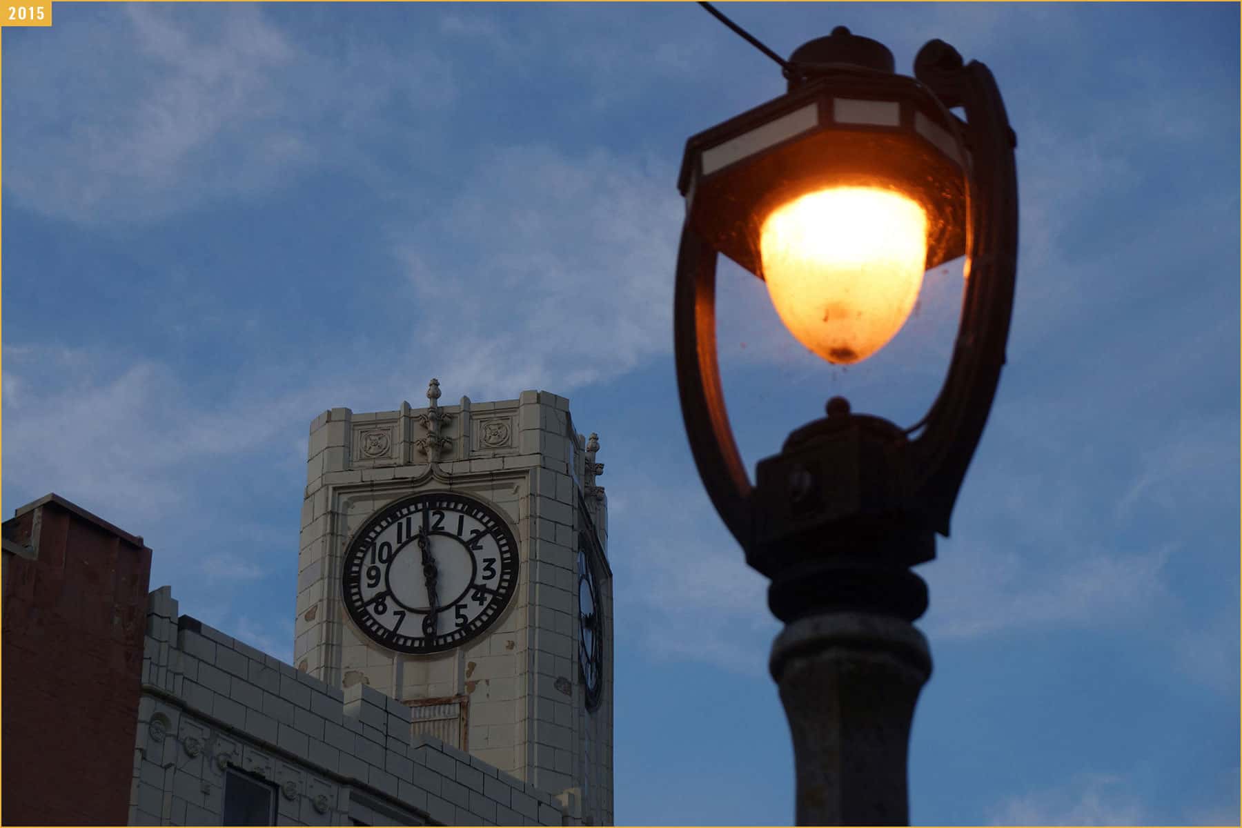
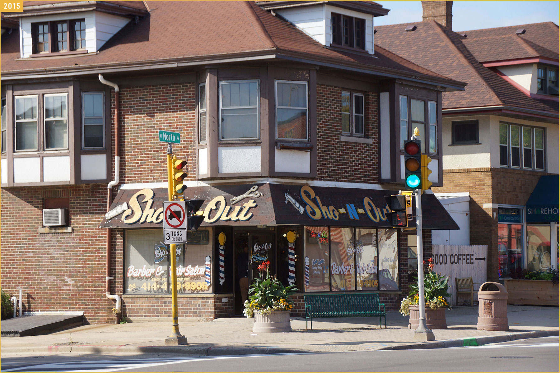
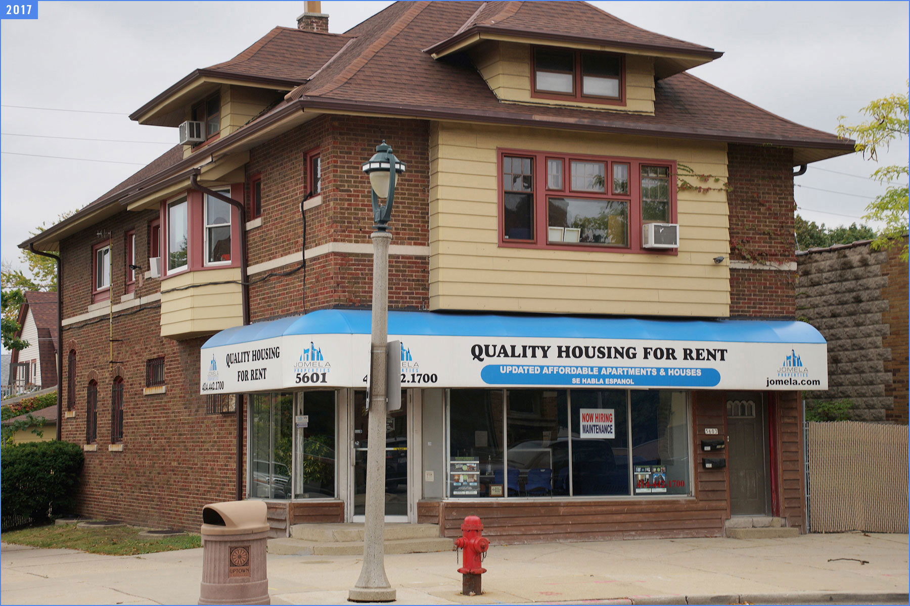
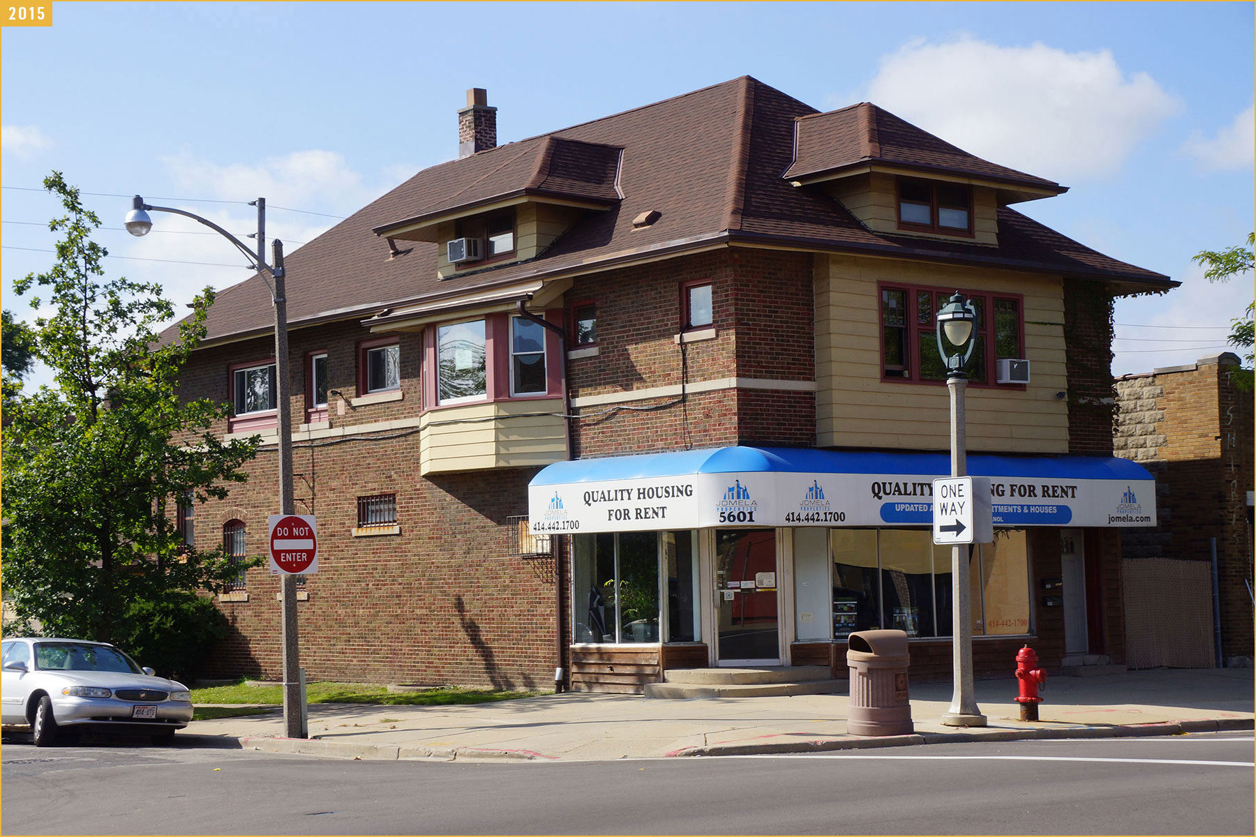
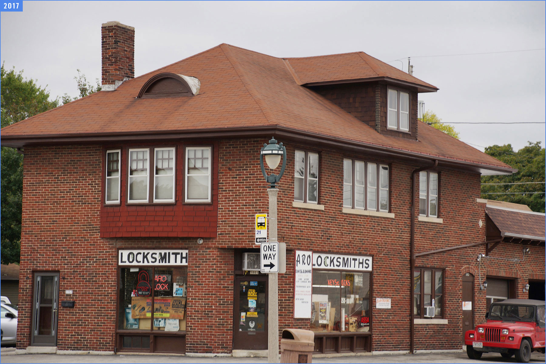
After reviewing photographs taken in 2015 with new ones from this trip, there is a contrast between how much has changed and how time stood still in those 24 months.
The companion photo essays offer more details and insights into the 2017 urban expedition.


- Map: Another Walk Across Milwaukee - Two Years Later - Lee Matz
- Journey along North Avenue tells neighborhood stories - Lee Matz
- Photo Essay: Detailed patchwork shows patterns of community - Dominic Inouye
- Photo Essay: Sights through a corridor of Milwaukee - Tim Holte and Janeen Kagel