After reviewing photographs taken in 2015 with new ones from the 2017 Another Walk Across Milwaukee, there is a contrast between how much has changed and how time stood still in those 24 months.
On October 6, 2015 the Milwaukee Independent made the 84 block, 5.5 mile hike across North Avenue to photo-document the corridor’s condition as a geographical reference with images for future news reports about community projects. On the second anniversary of that journey, October 6, 2017, the Milwaukee Independent retraced those steps.
Places that did not exist during the first walk included Pete’s Fruit Market on MLK Drive. Across from the landmark Jake’s Deli on 16th Street, The Juice Kitchen’s sign was being lifted into place by crane, like a flag of hope for Walnut Way’s development of The Innovations and Wellness Commons.
Currently underway is the $17.4 million Historic Garfield Redevelopment project, including the new home for America’s Black Holocaust Museum.
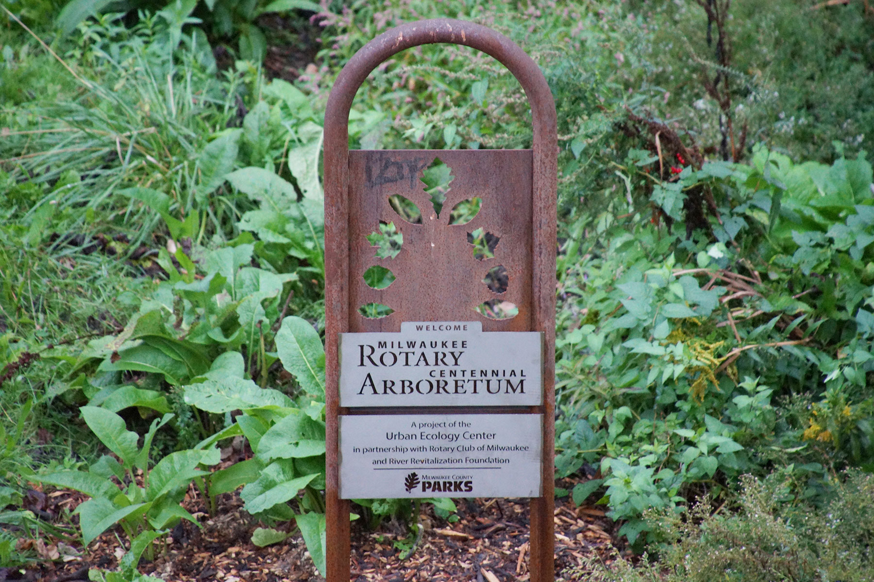
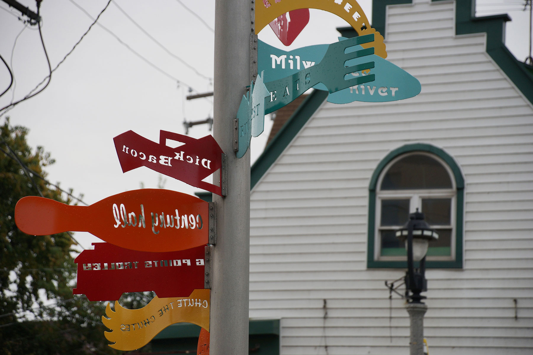
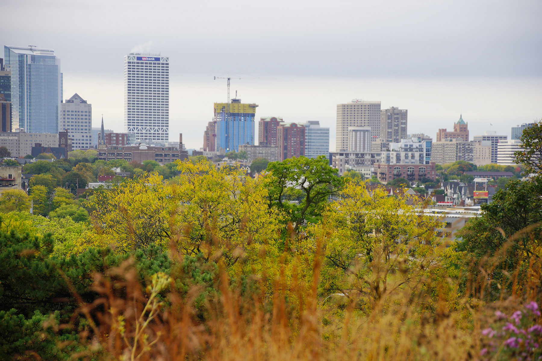
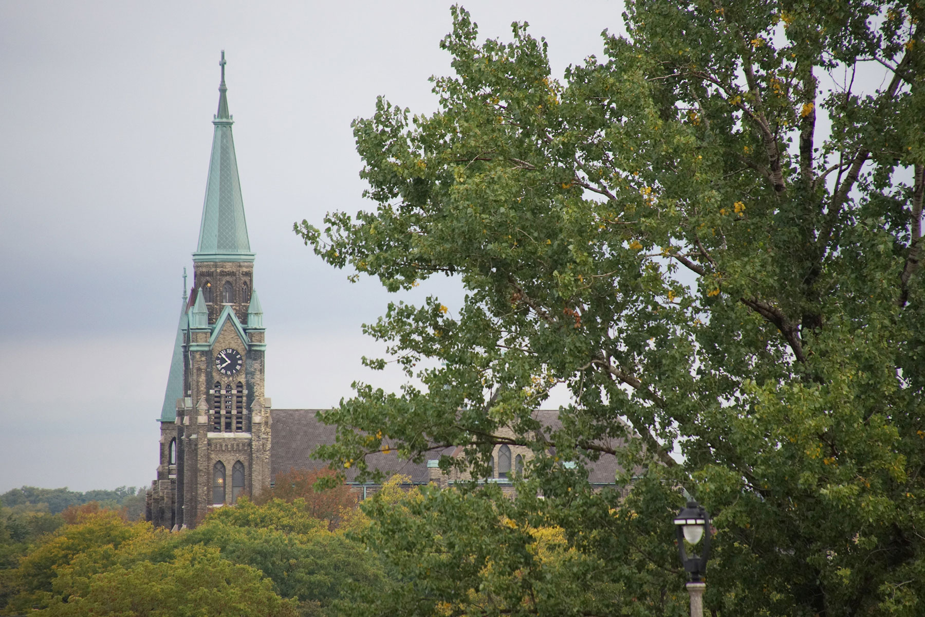
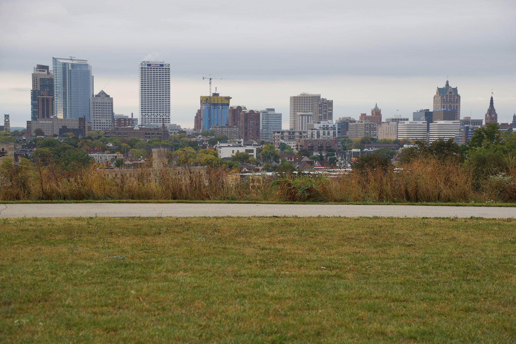
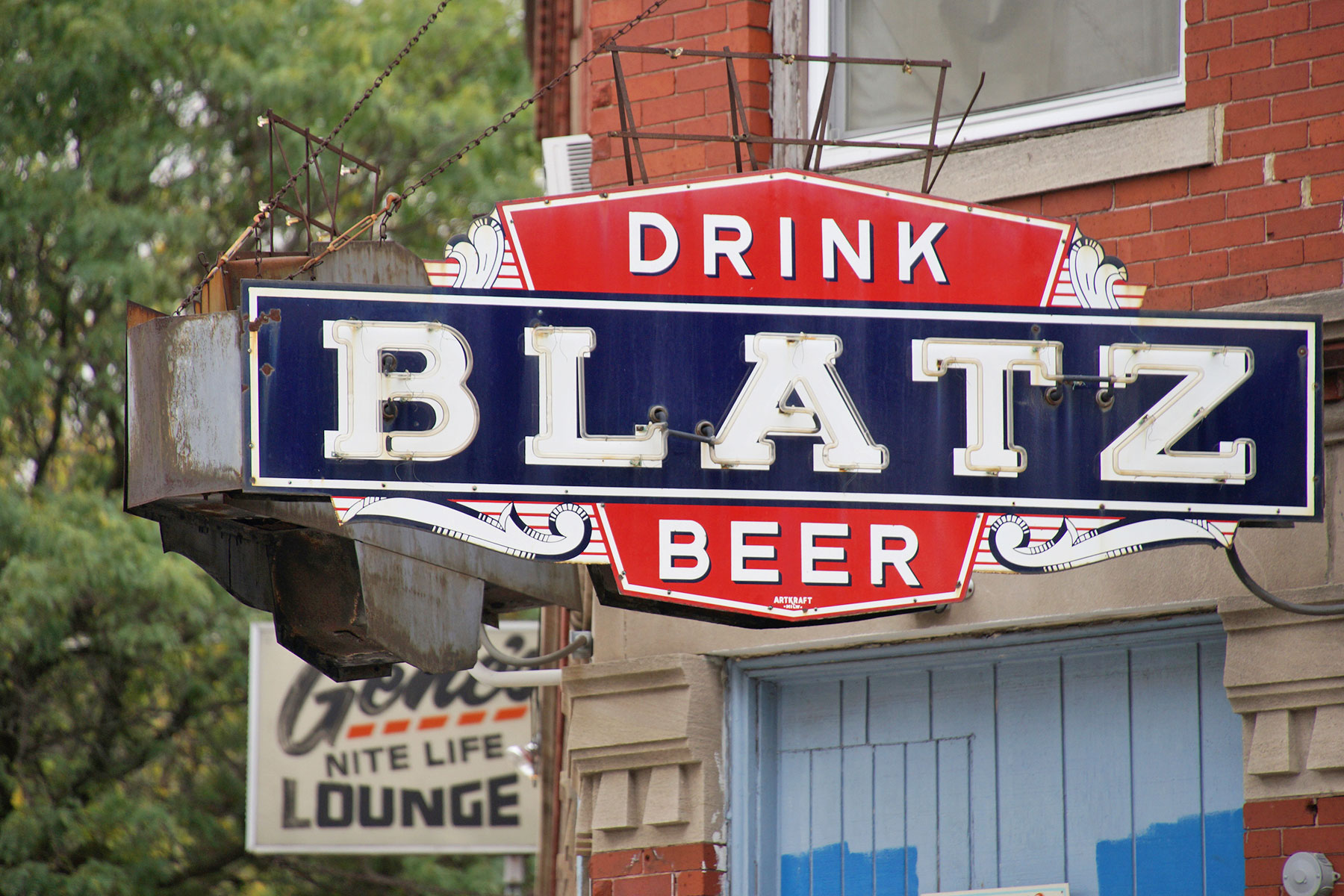
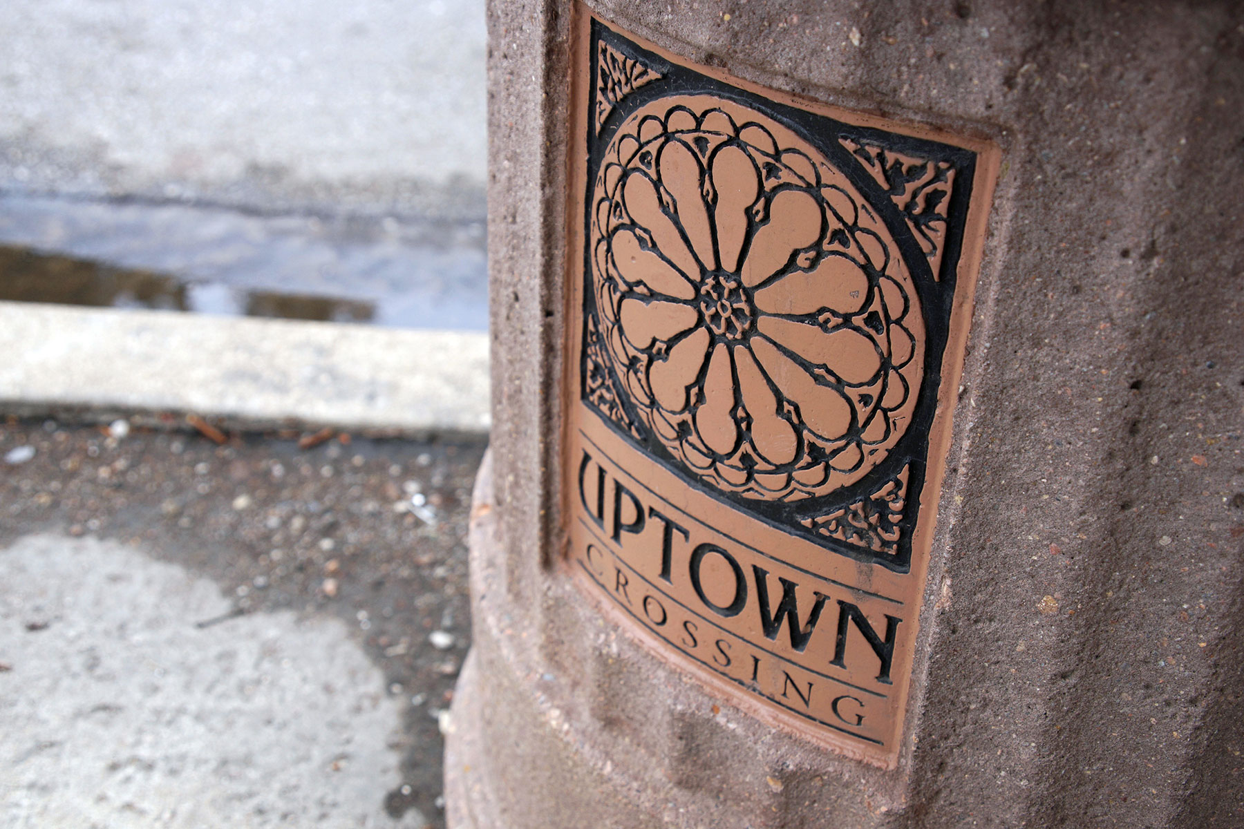
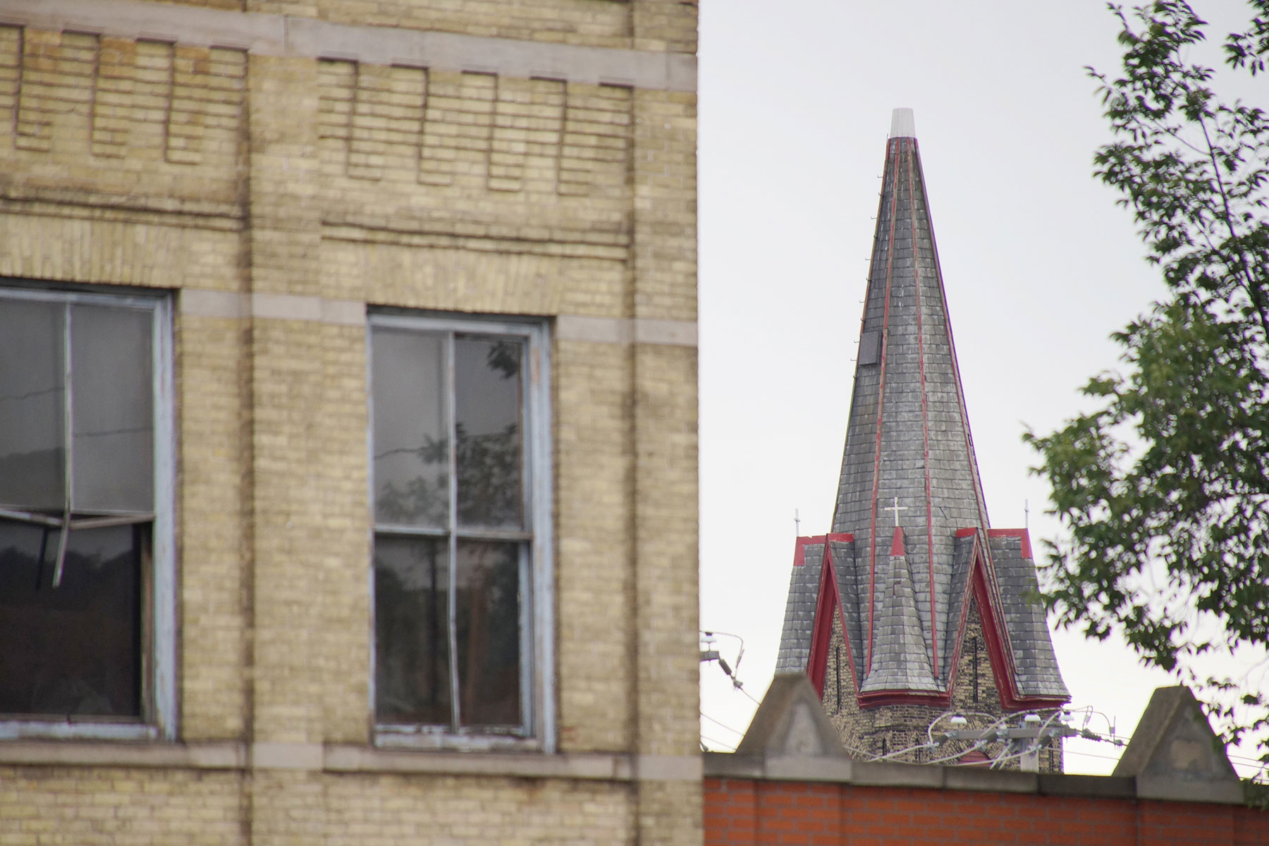
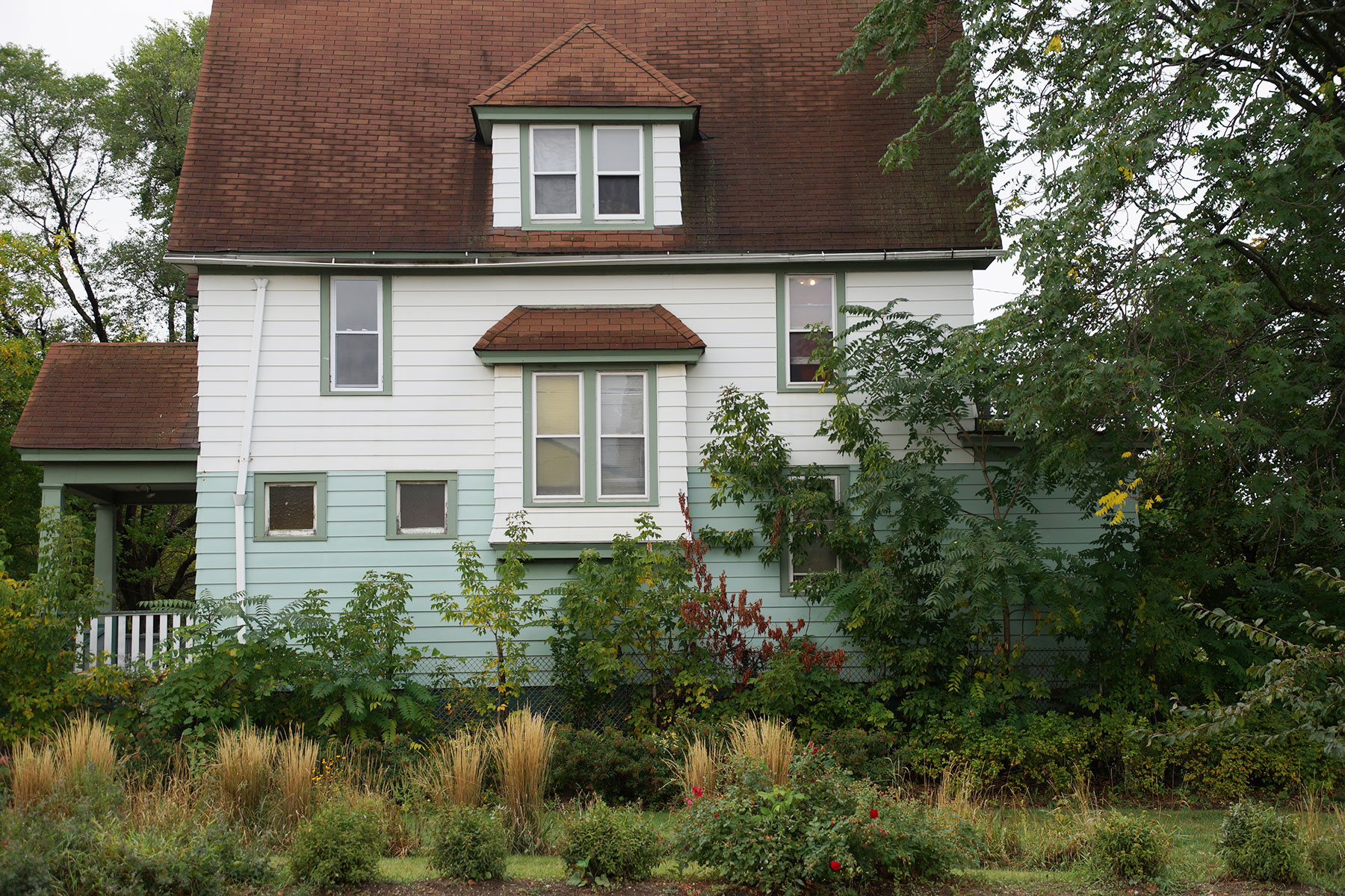
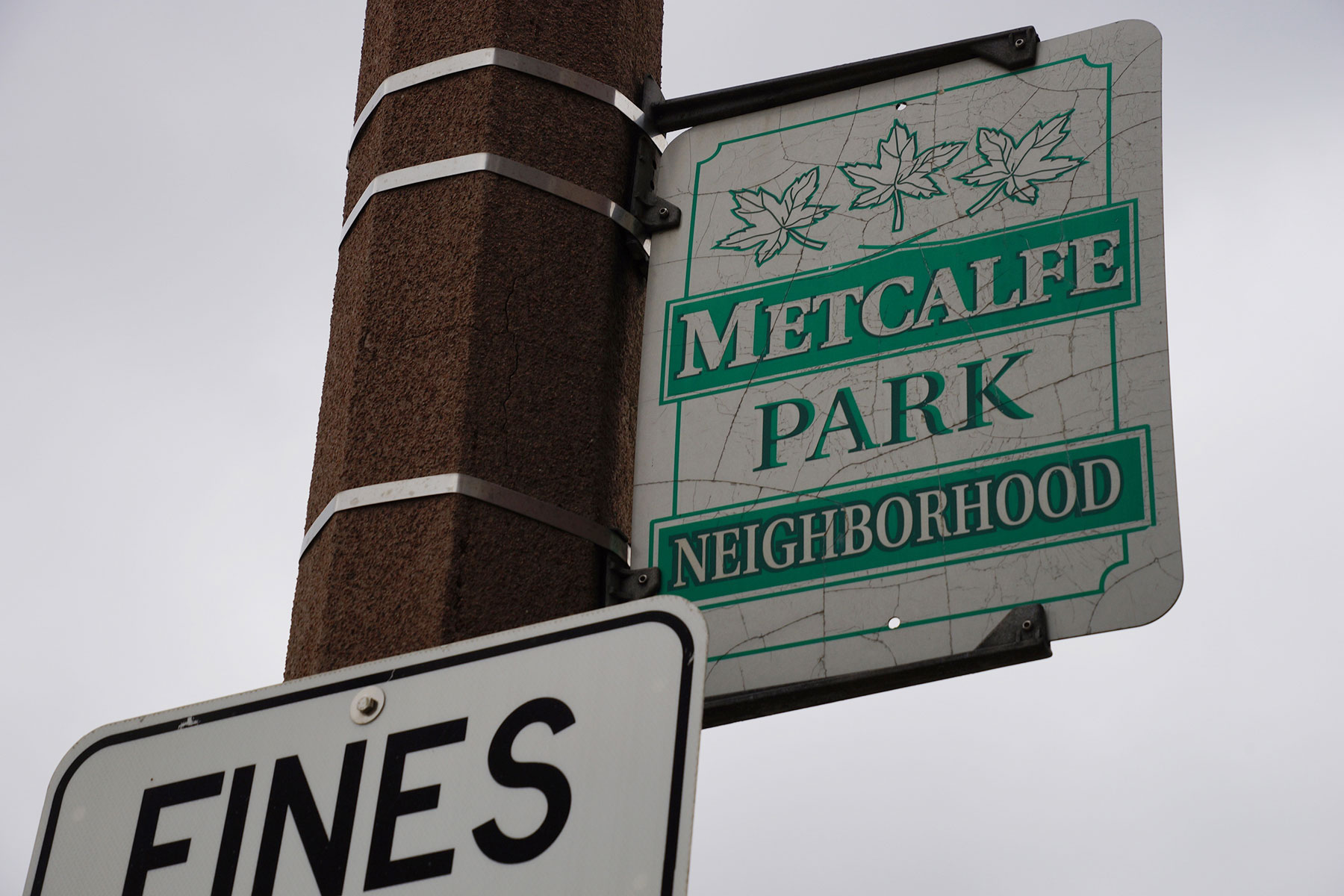
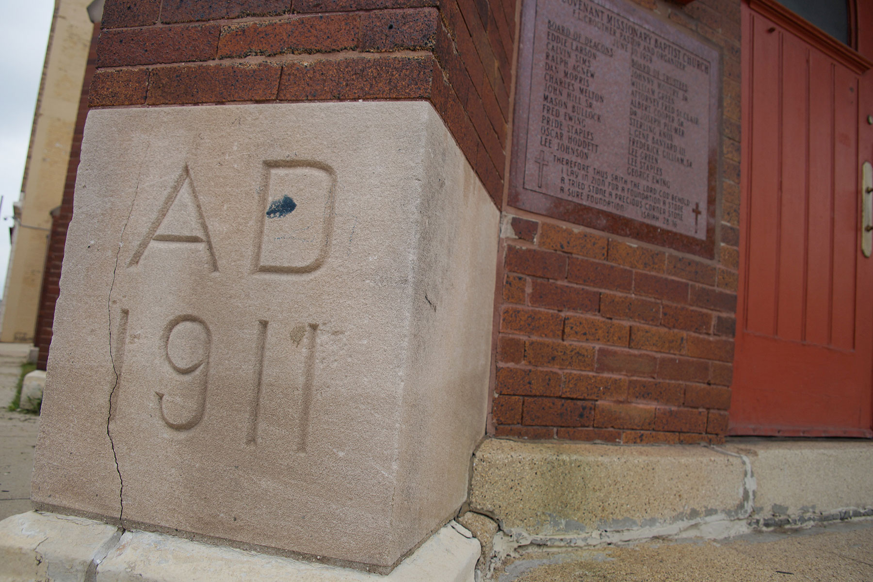
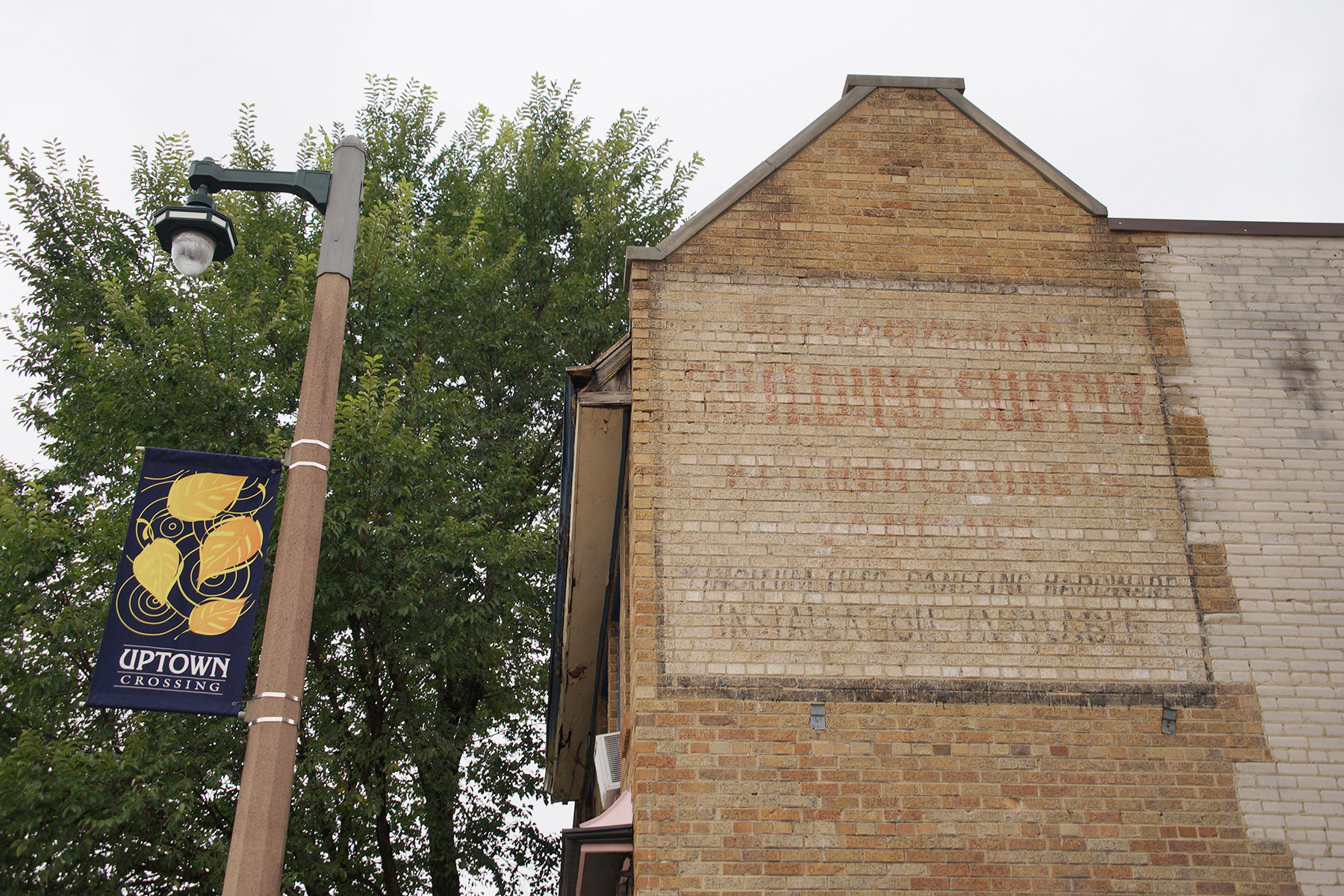
North Avenue intersects many historic neighborhoods, like East Side, Riverwest, Brewers Hill, Halyard Park, Lindsay Heights, Park West, Metcalfe Park, Sherman Park, and Uptown, including vibrant and once thriving commercial corridors. Each block and district has amazing stories that are both remembered and yet untold.
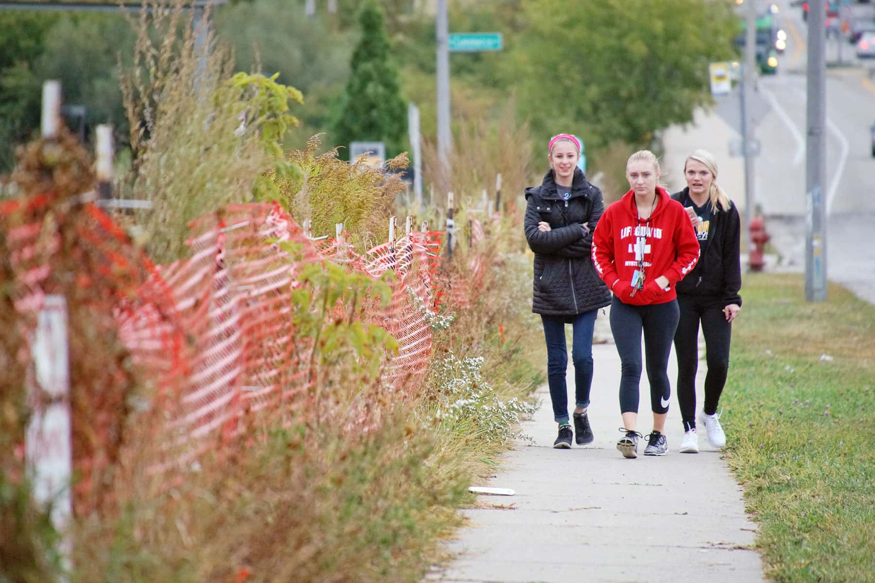
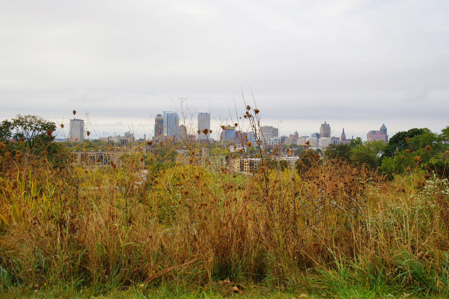
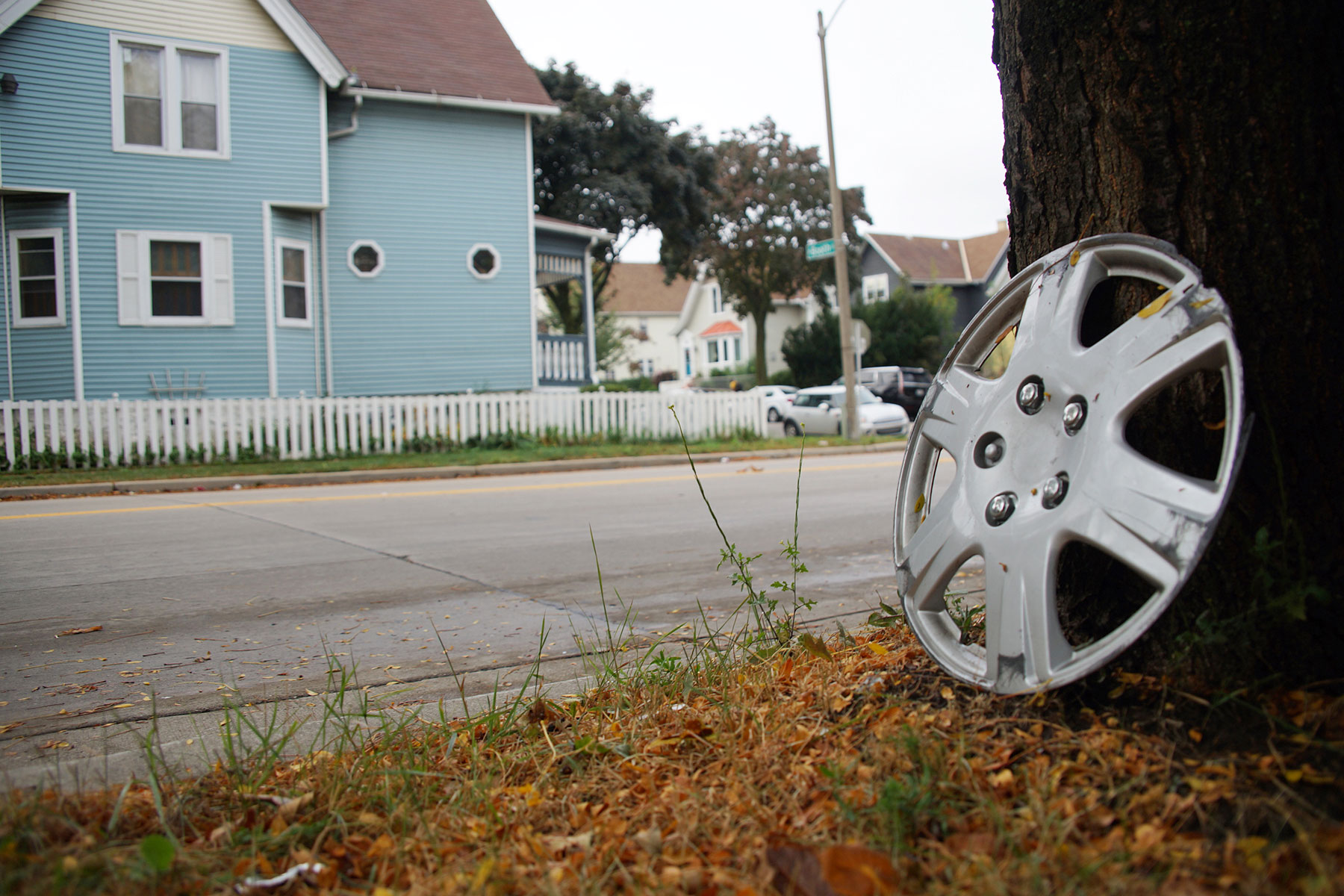
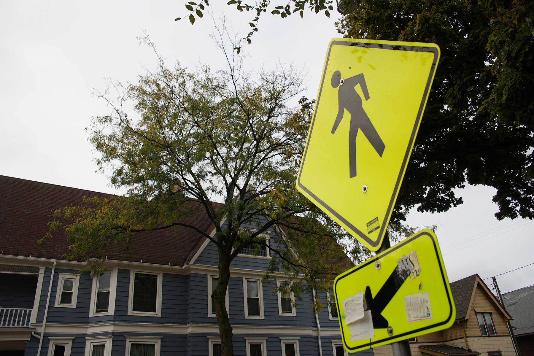
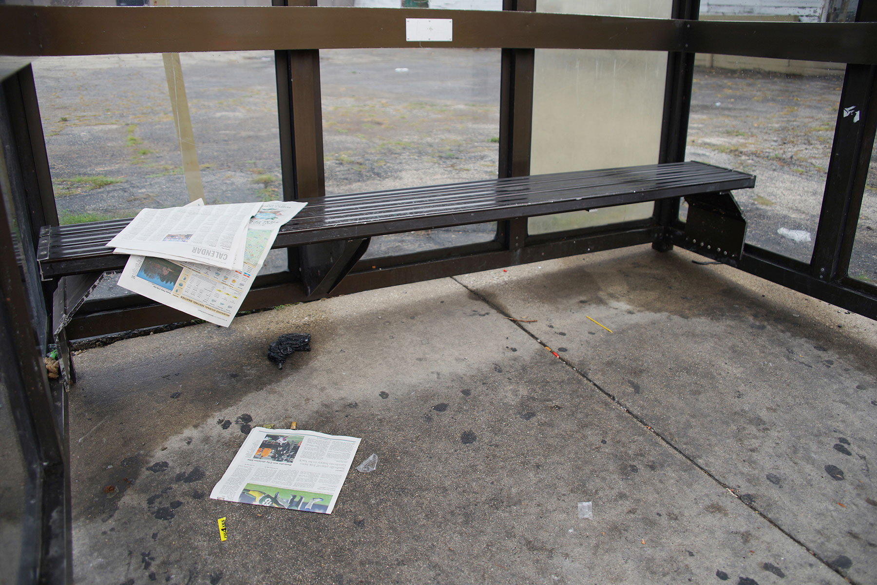
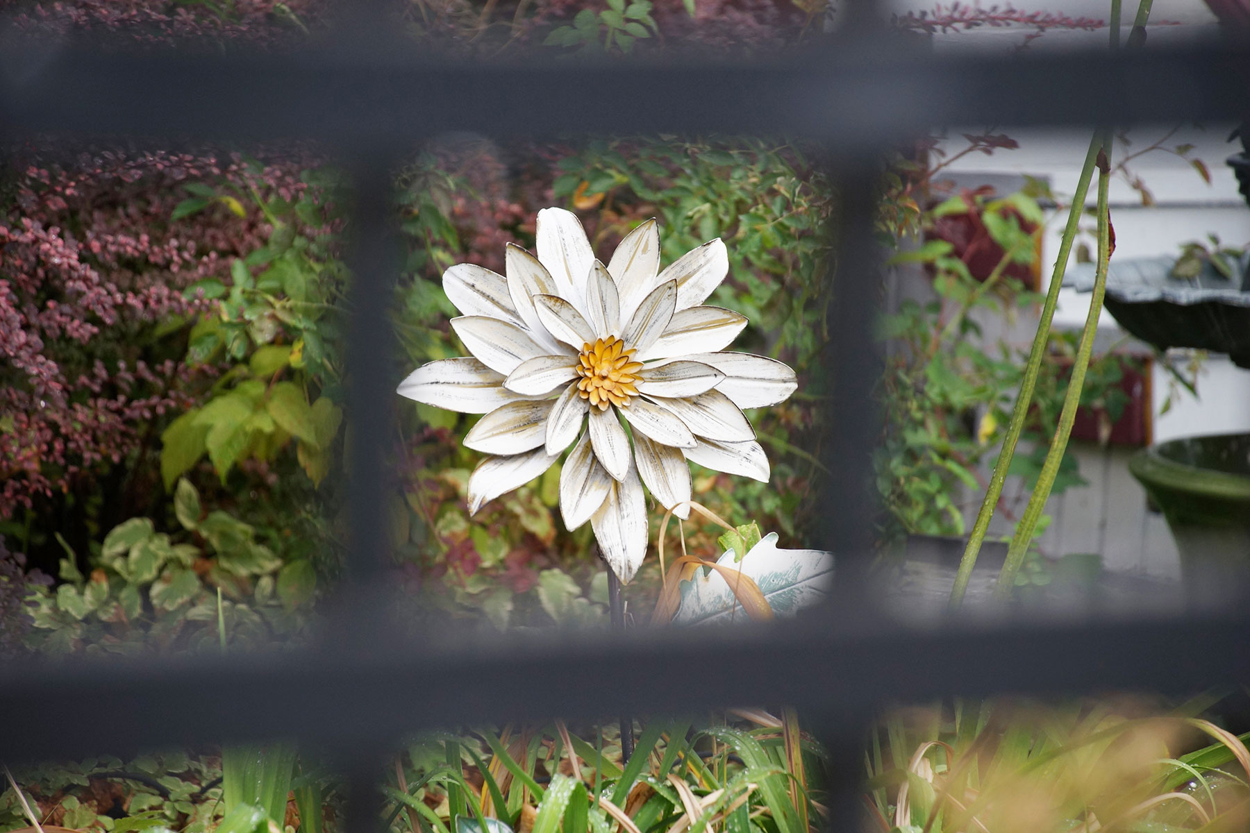
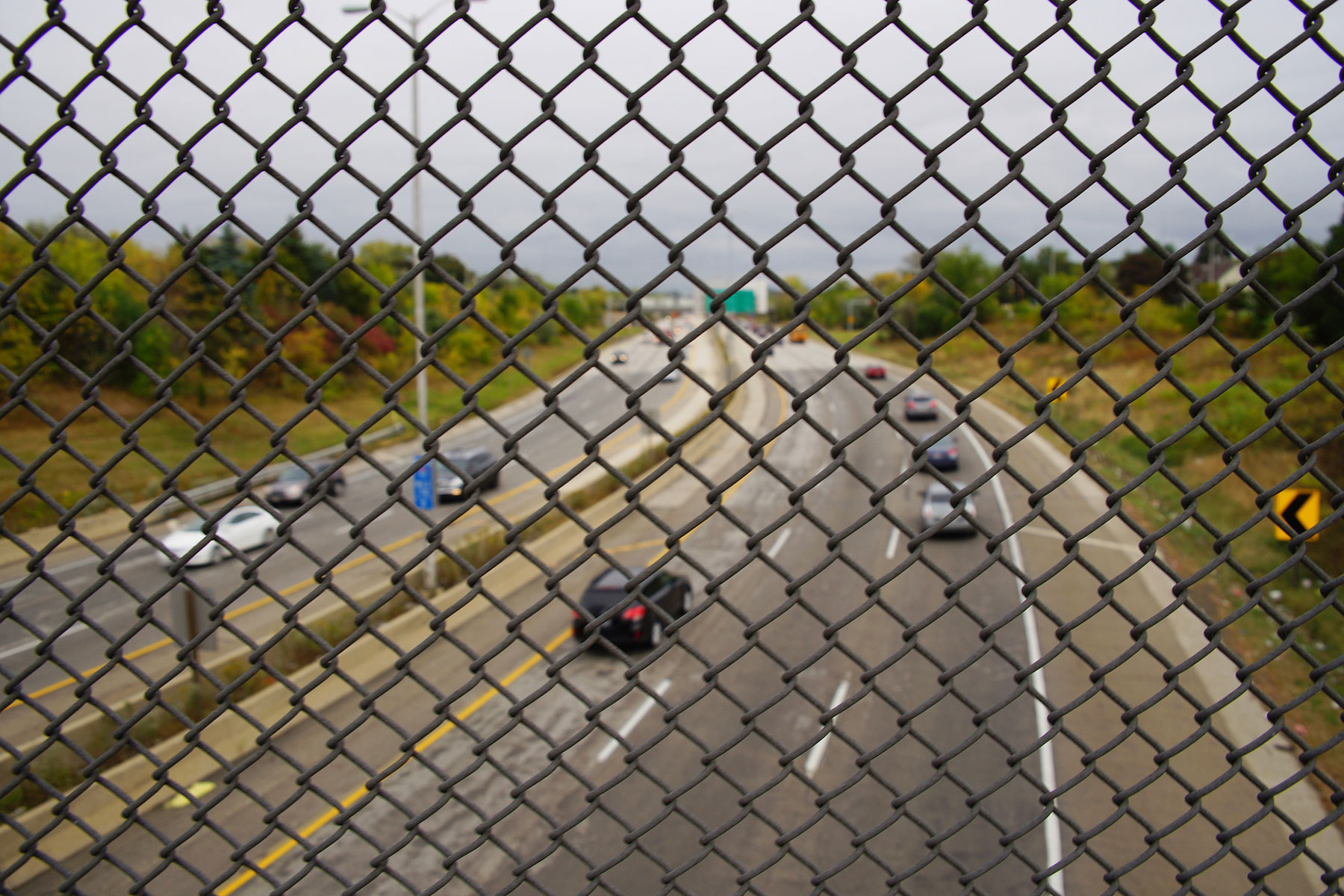
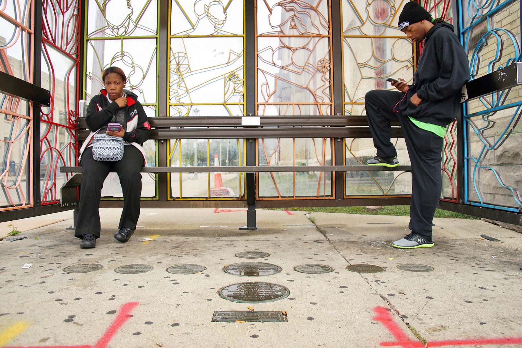
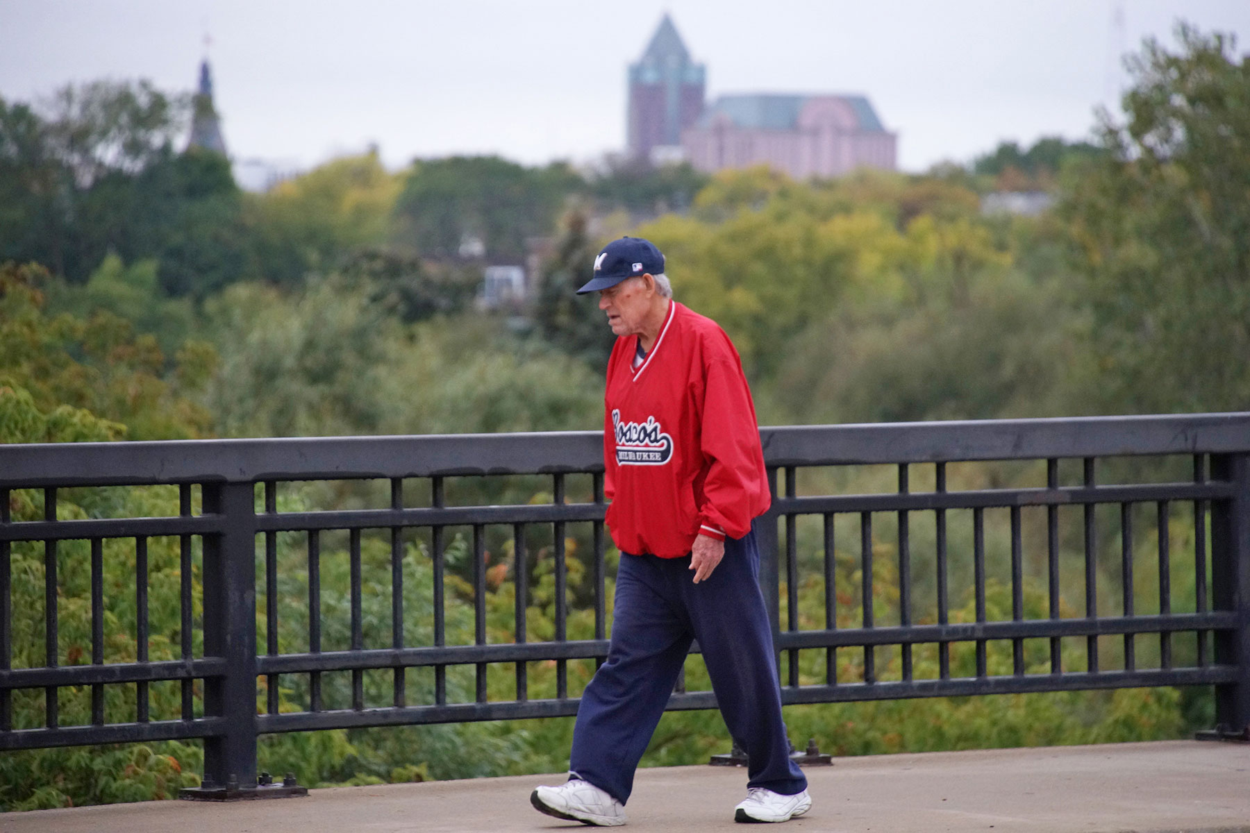
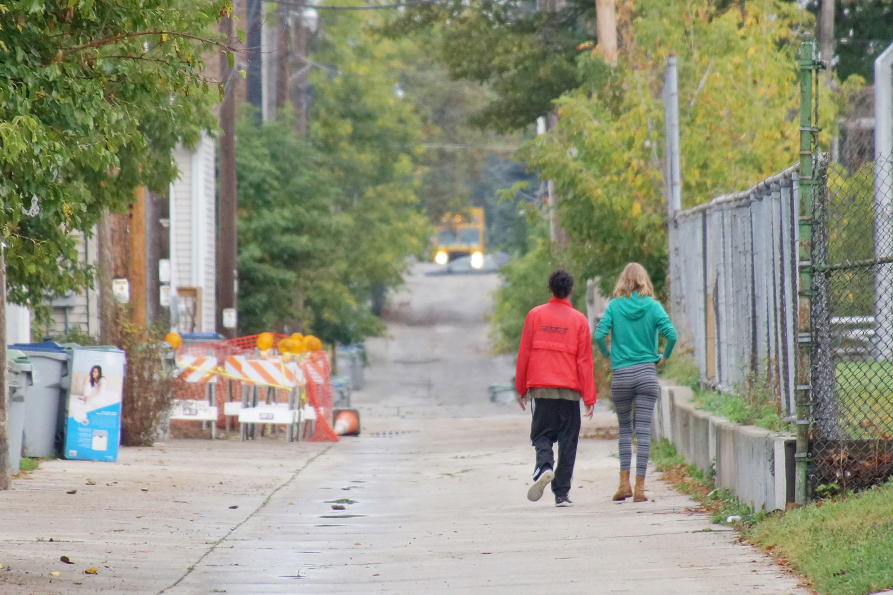
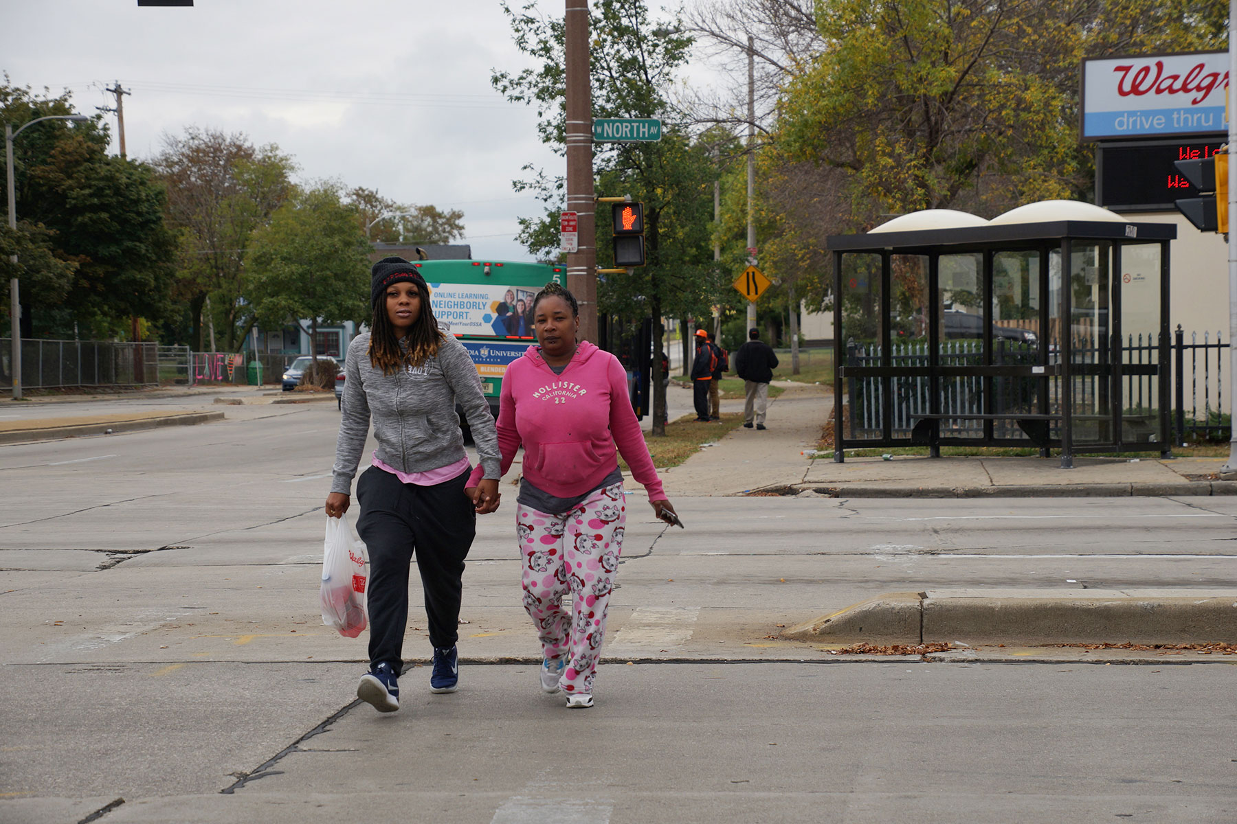
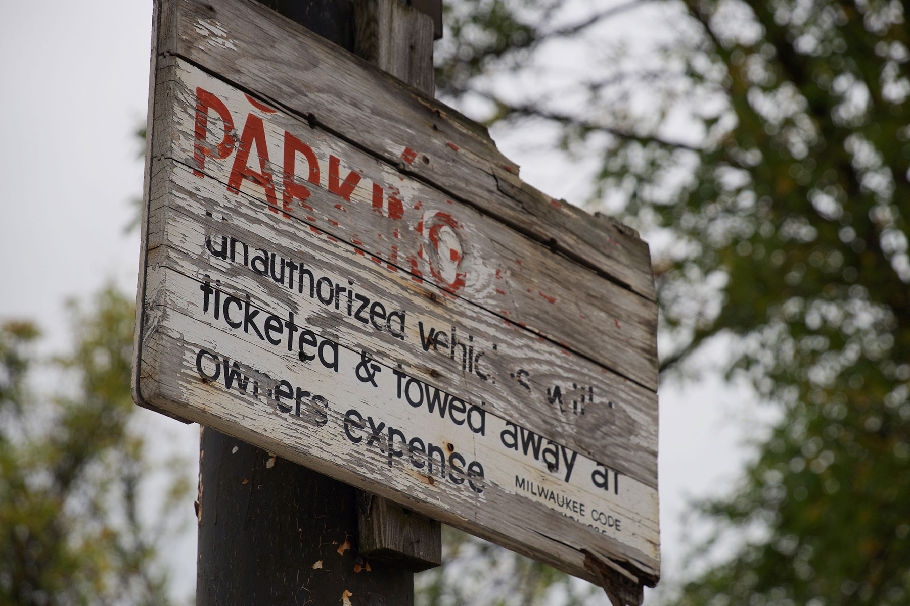
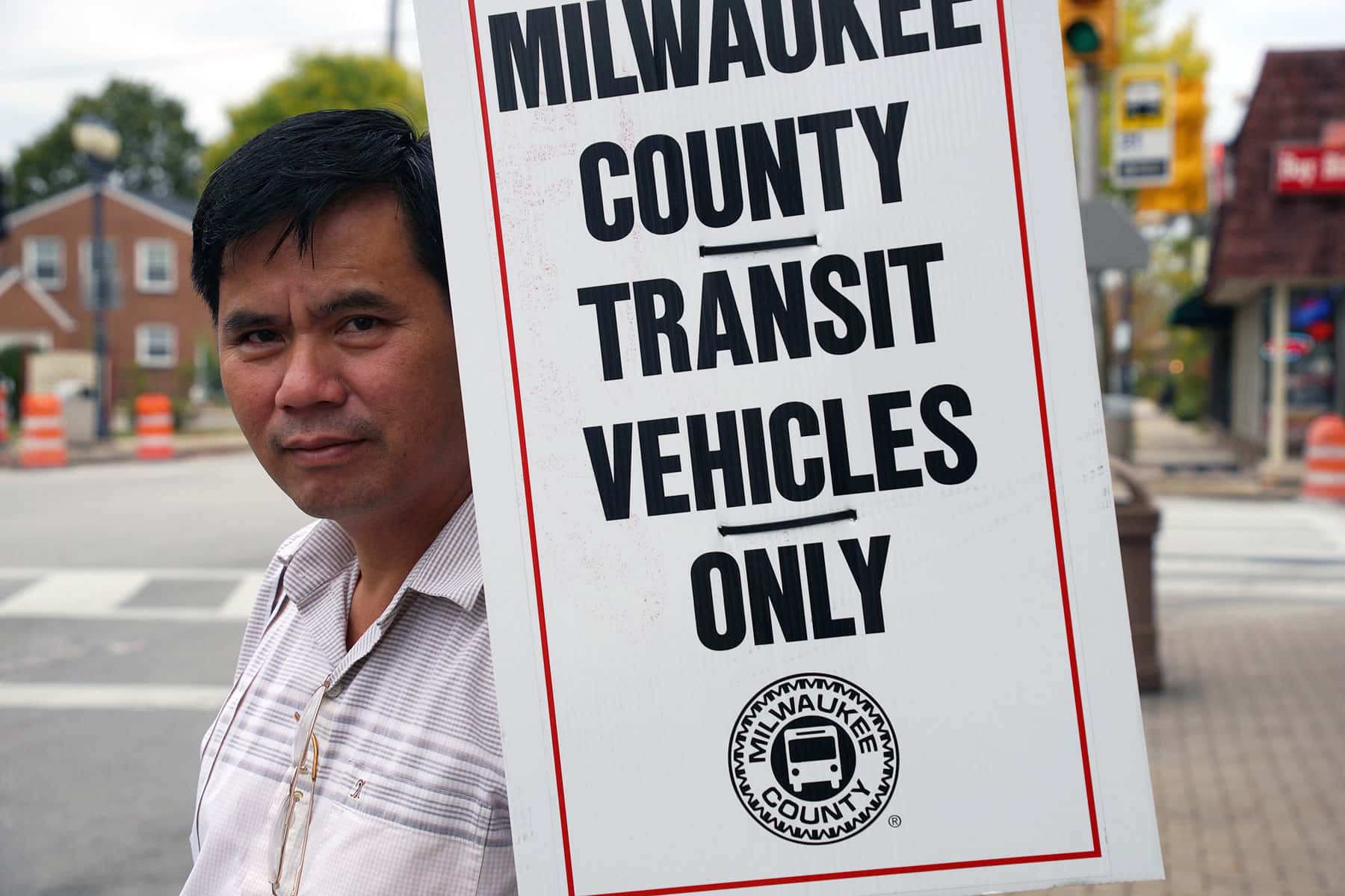
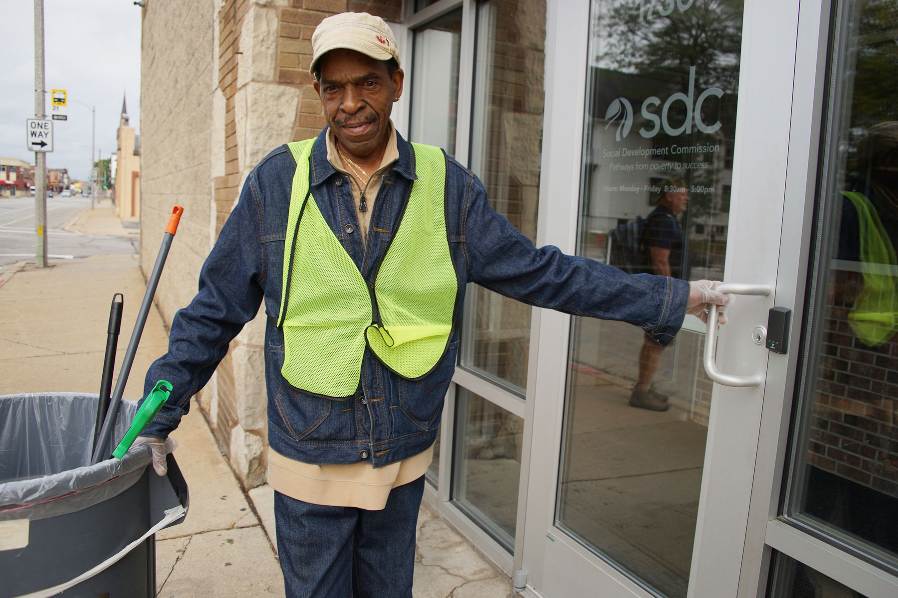
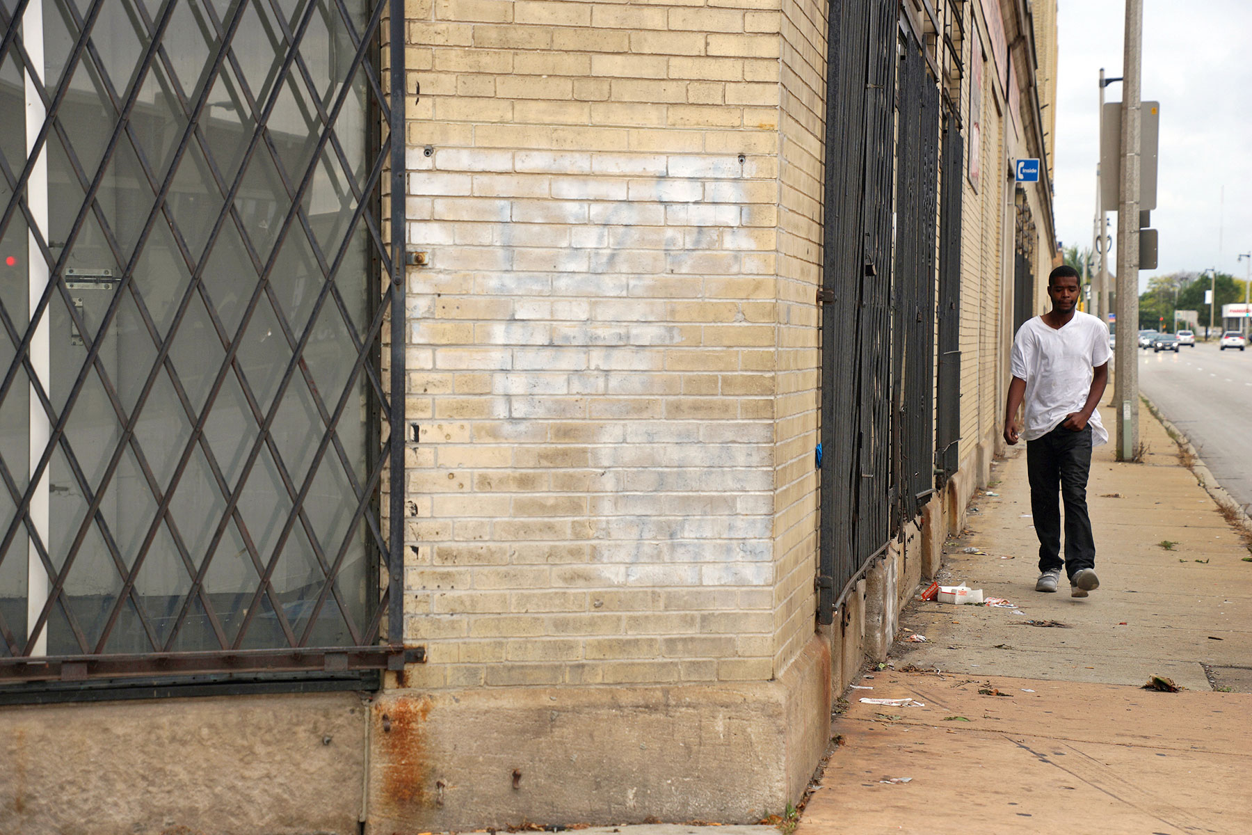
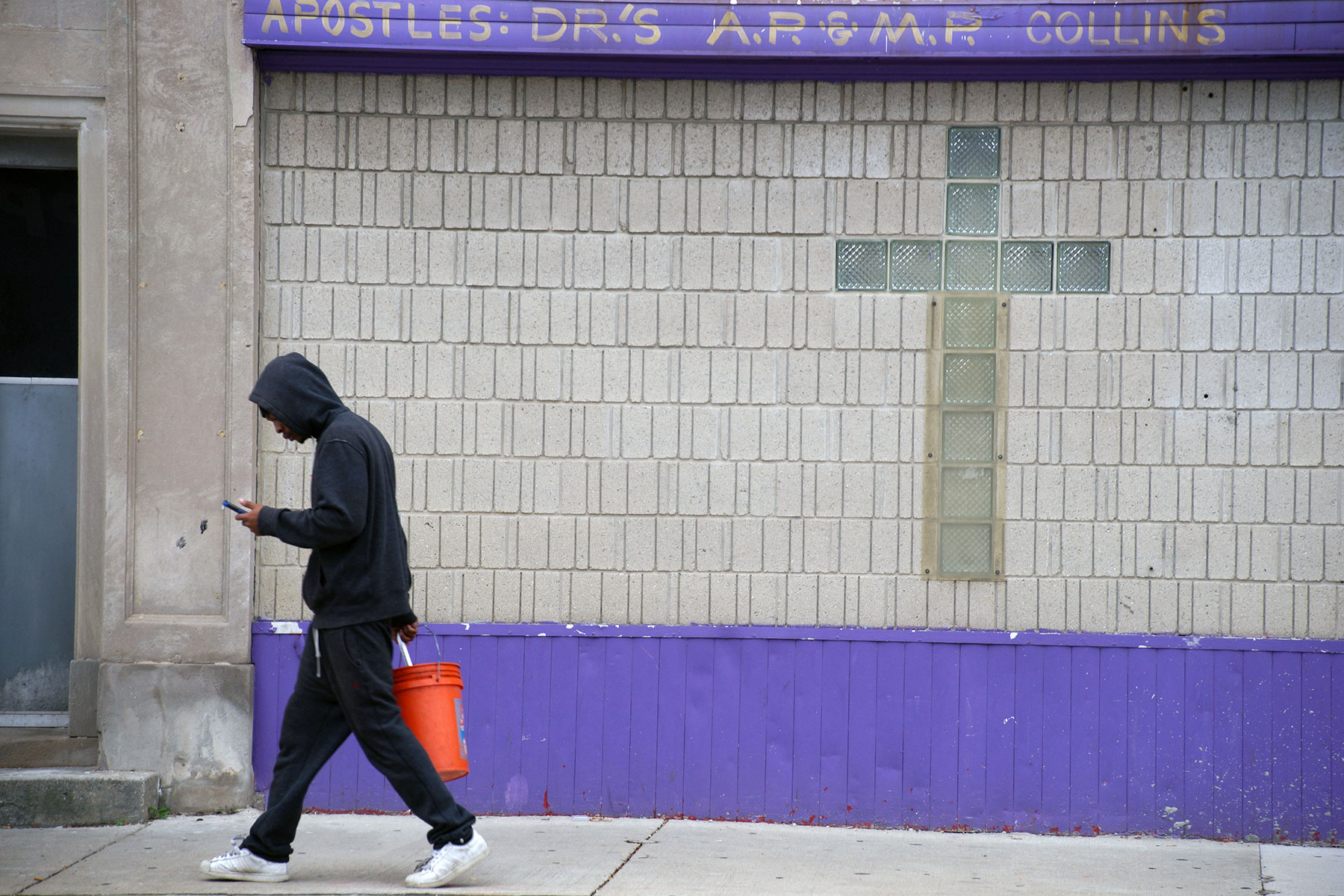
The purpose of this walk was not to share those footnotes and voices, but to slow down and look at areas of Milwaukee that much of the population never visits, or if the encounter does occur it is only as a blur in a speeding car.
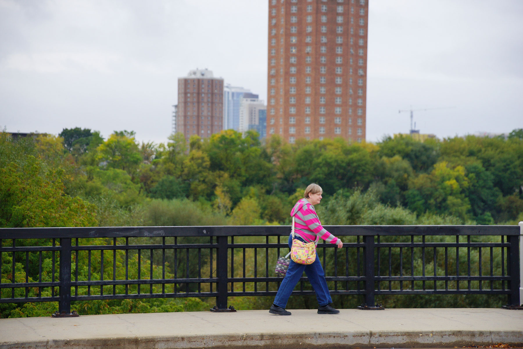
The companion map and photo essays speak for themselves. How these areas were able to rise, and what led some to fall are interesting, informative, and necessary to understanding their current sustainability and future development. However, it remains important to view North Avenue as a cross section of Milwaukee for how it exists now, in the present, and to genuinely see it for all its imperfections – not just where the beauty is easier to look at.
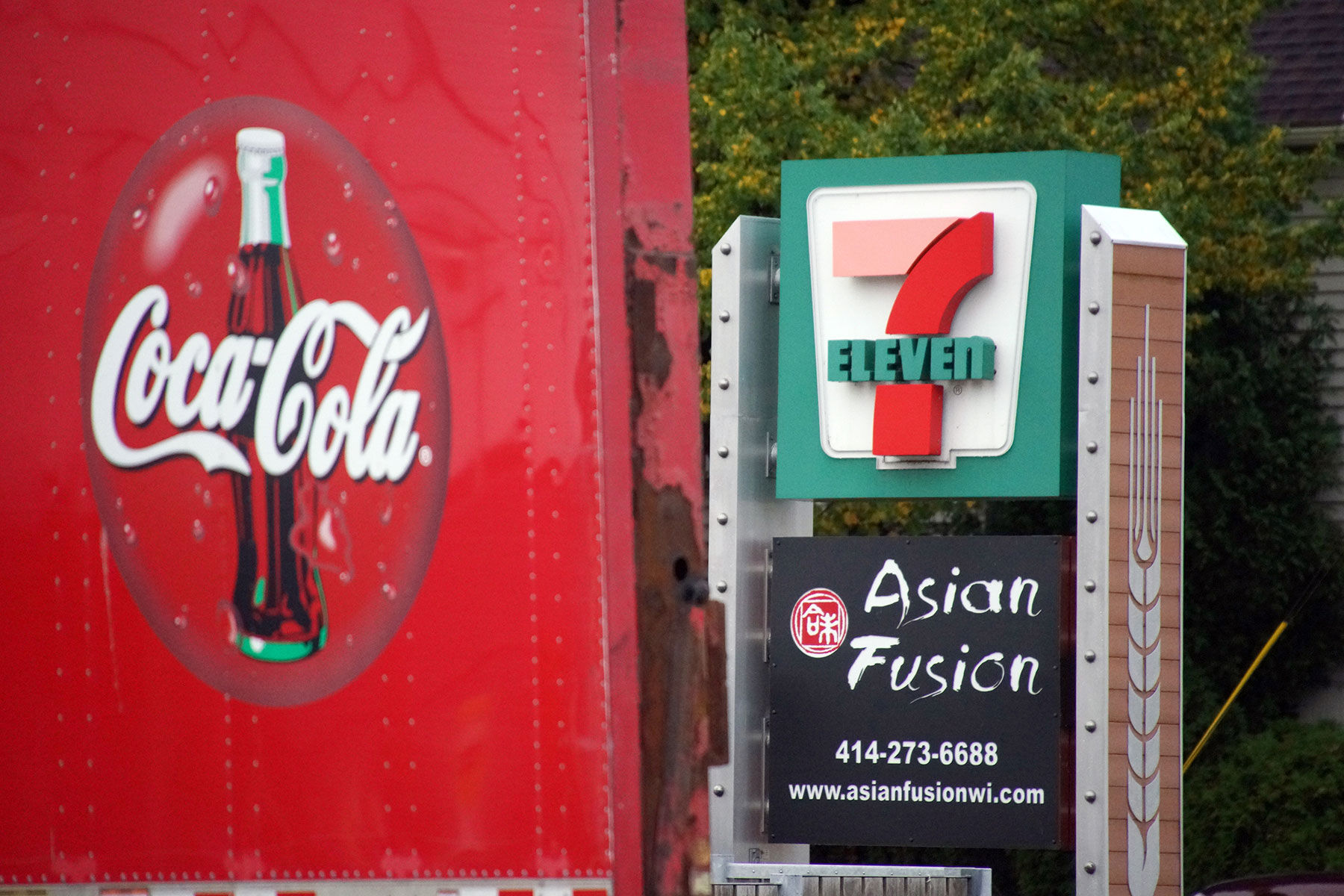
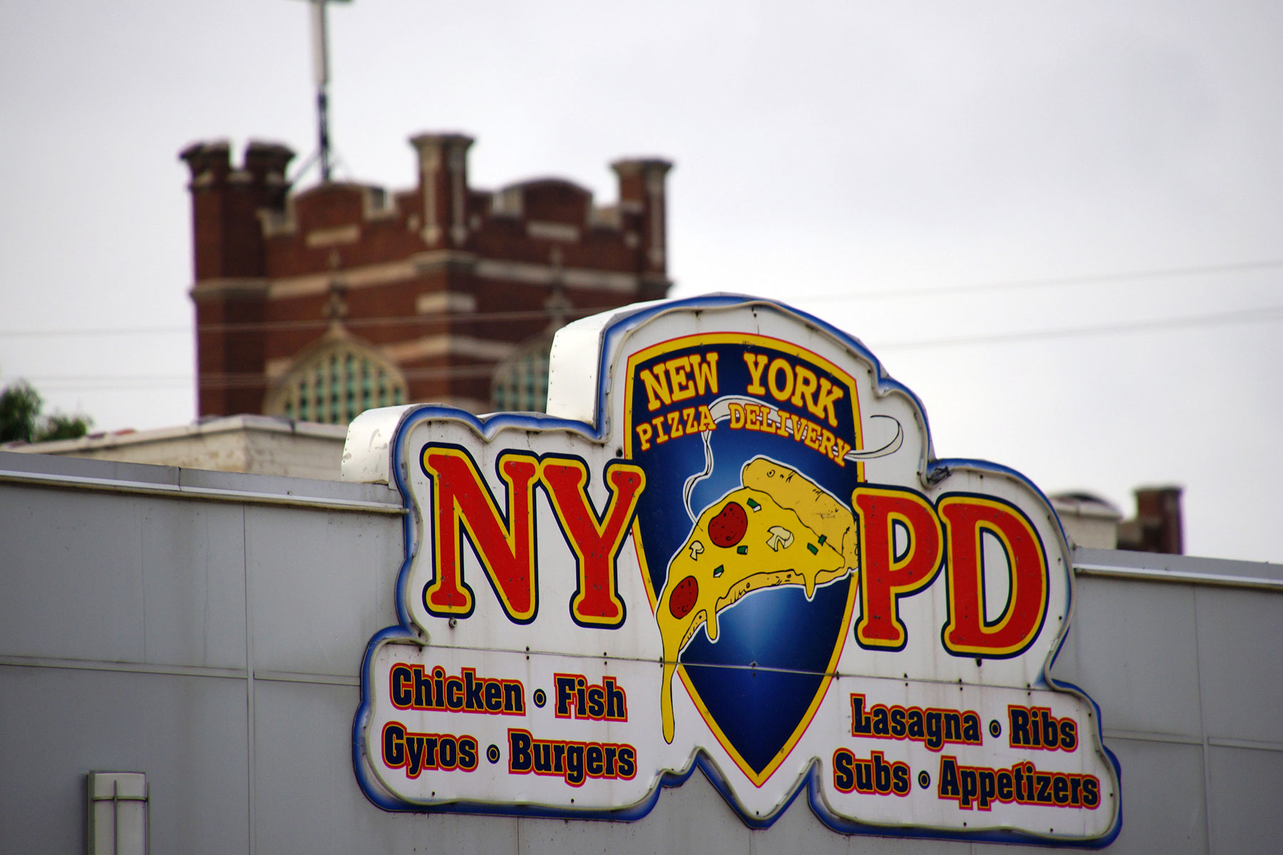
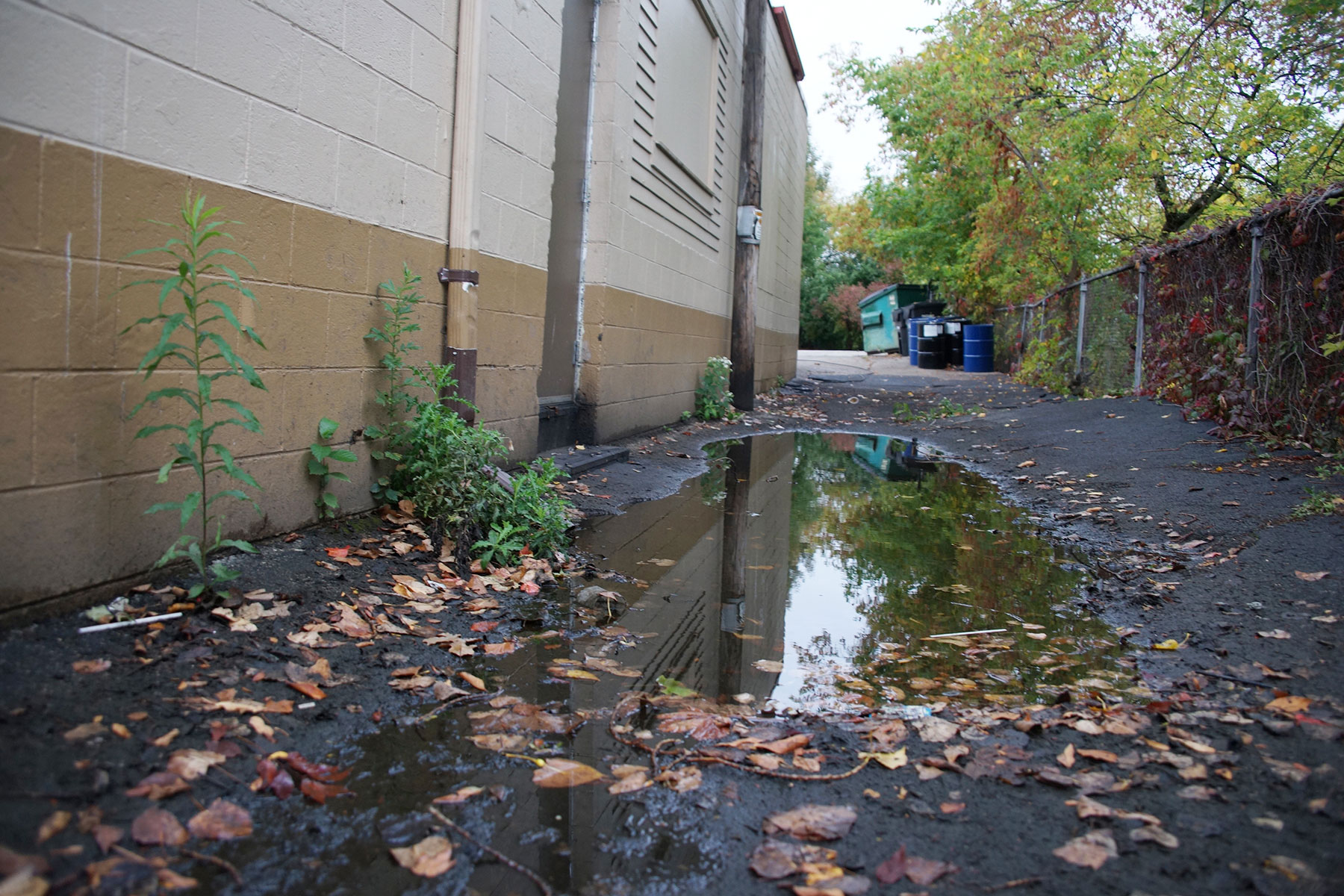
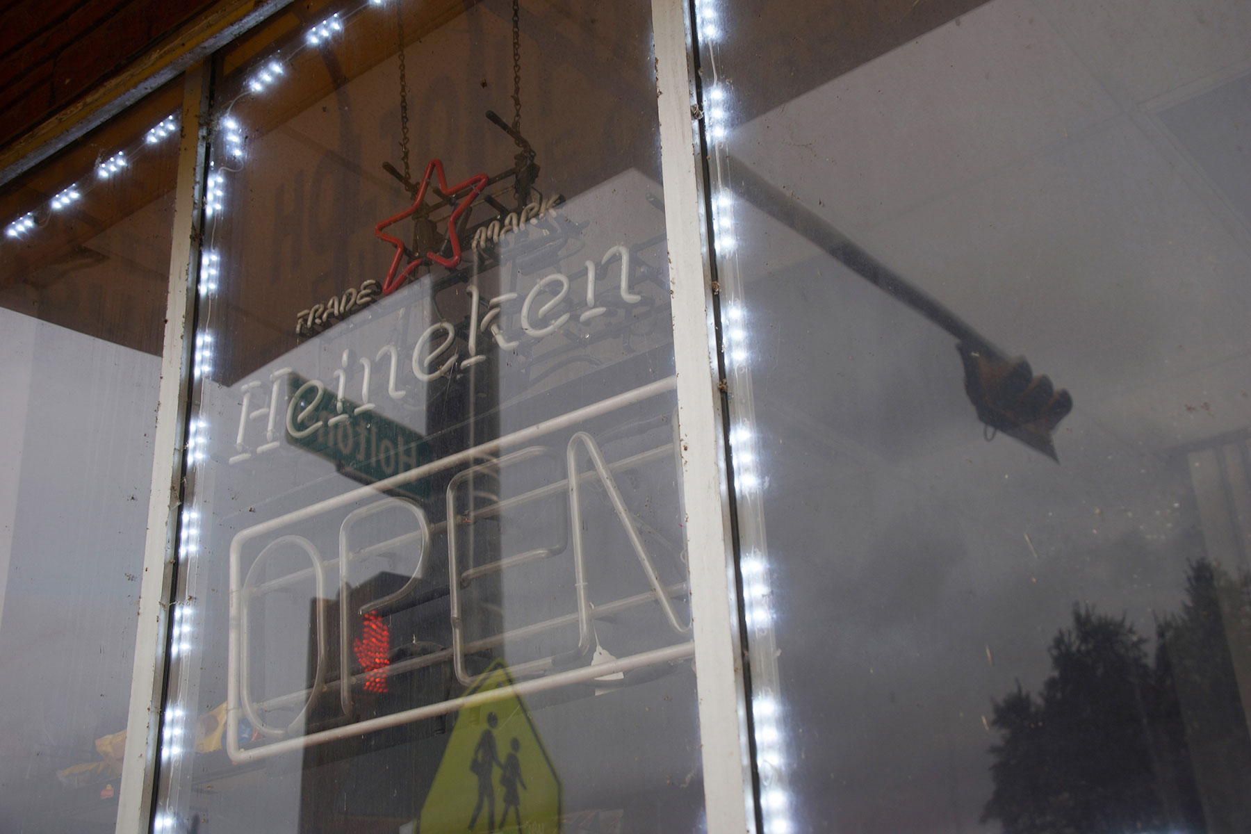
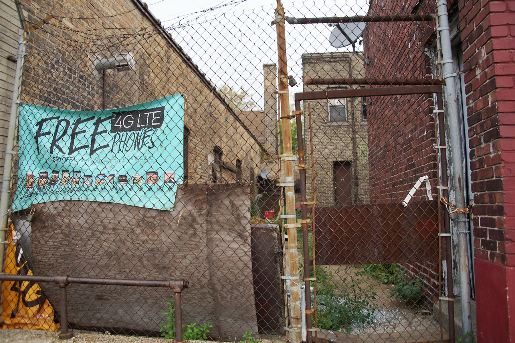
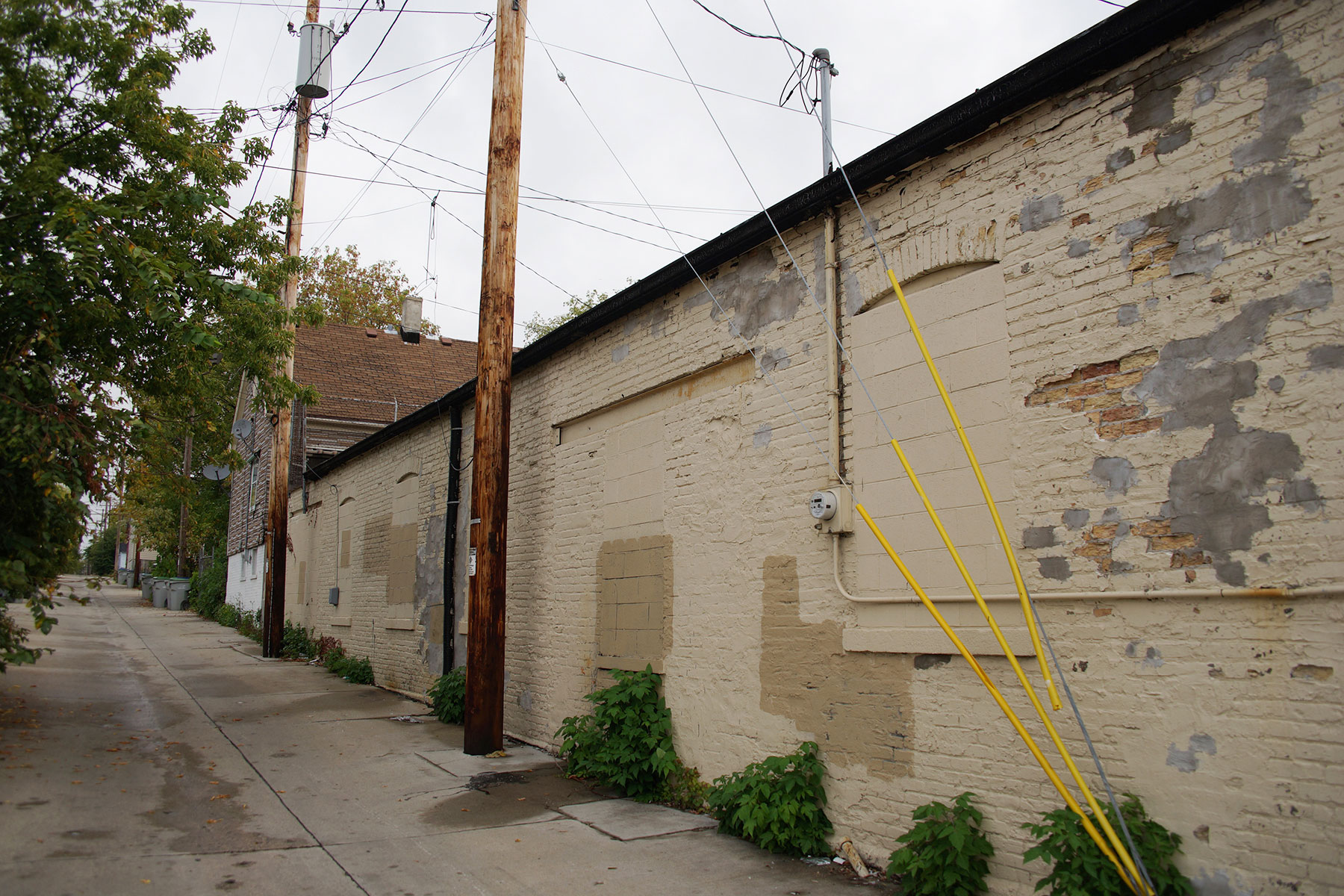
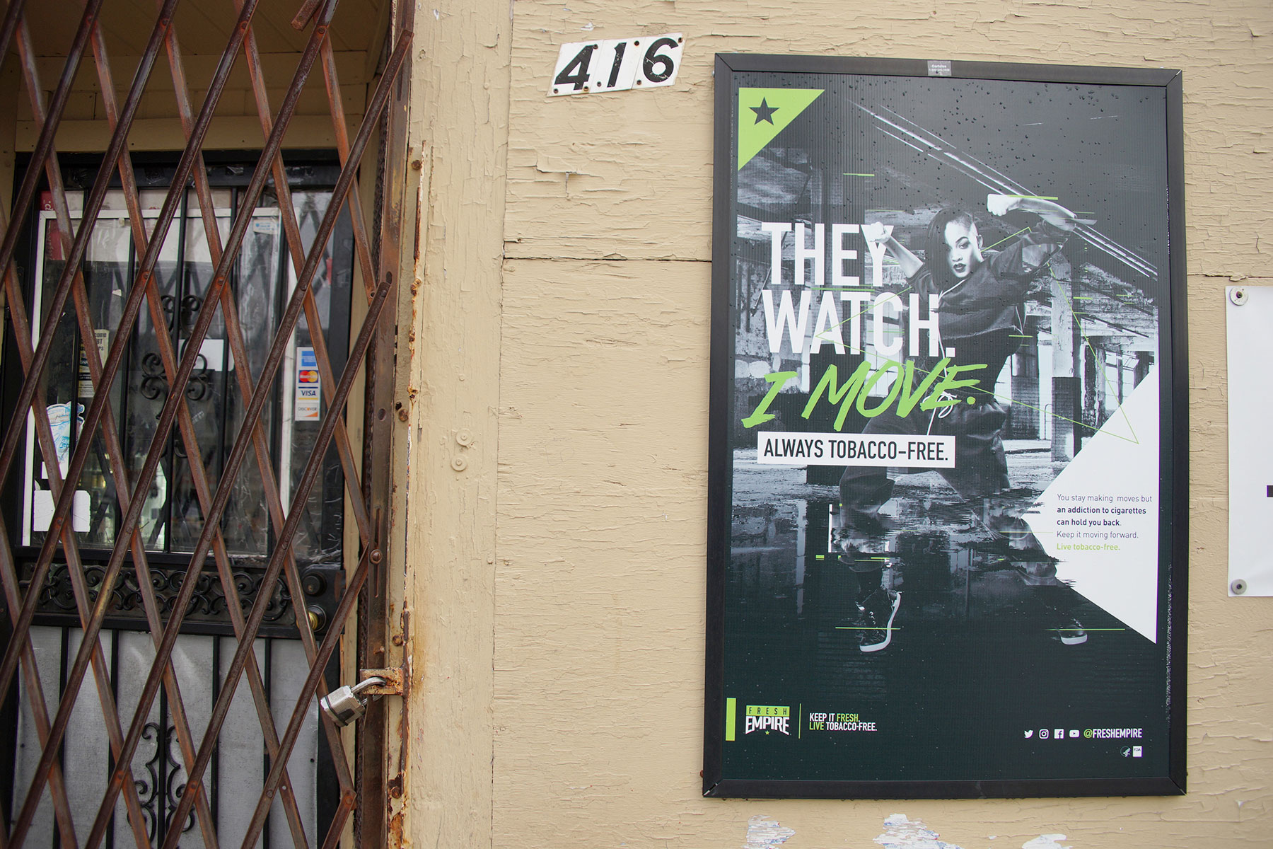
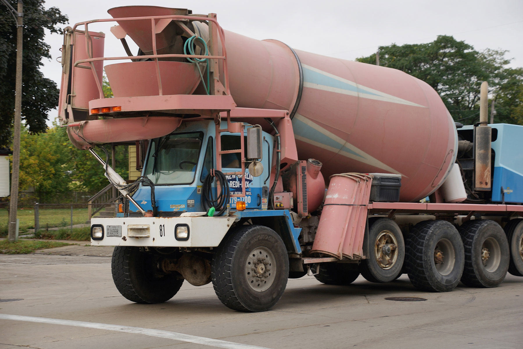
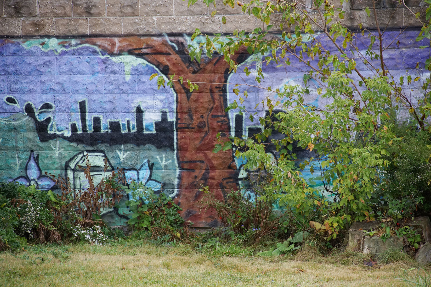
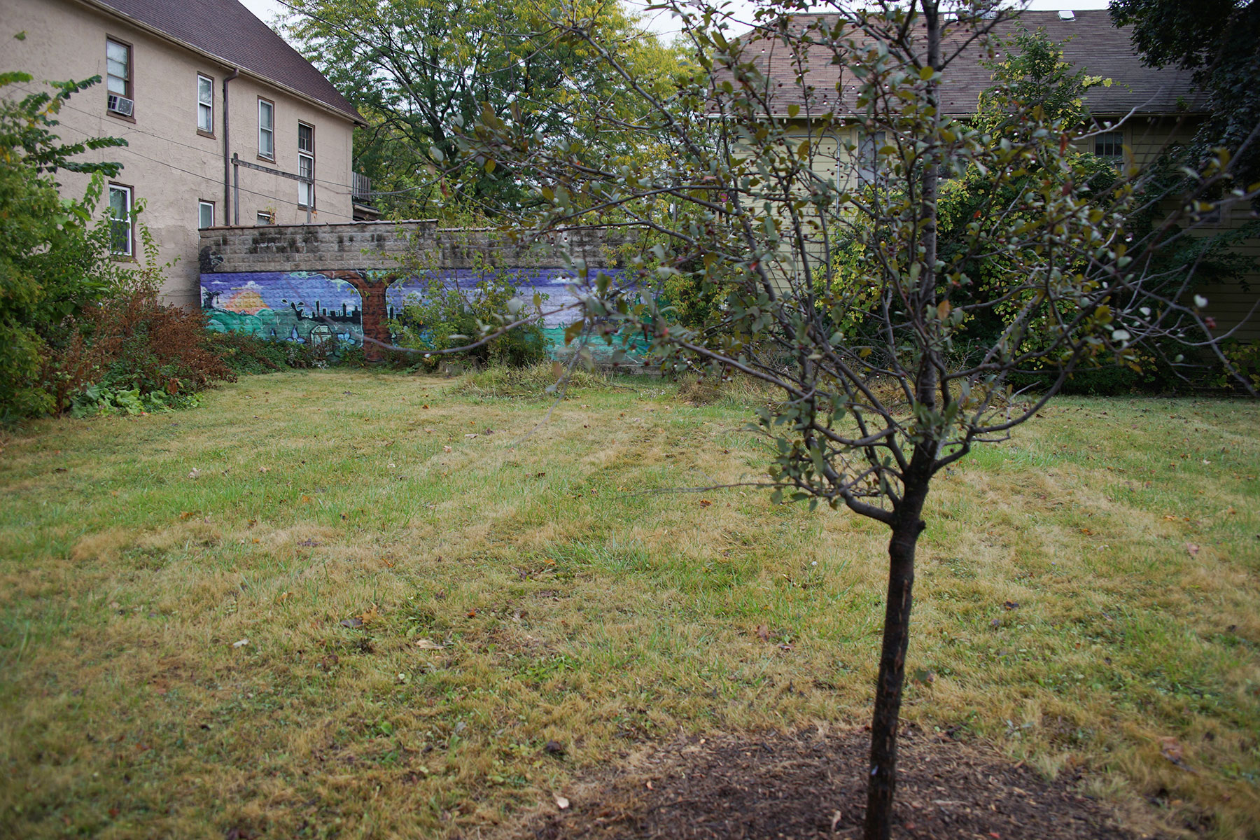
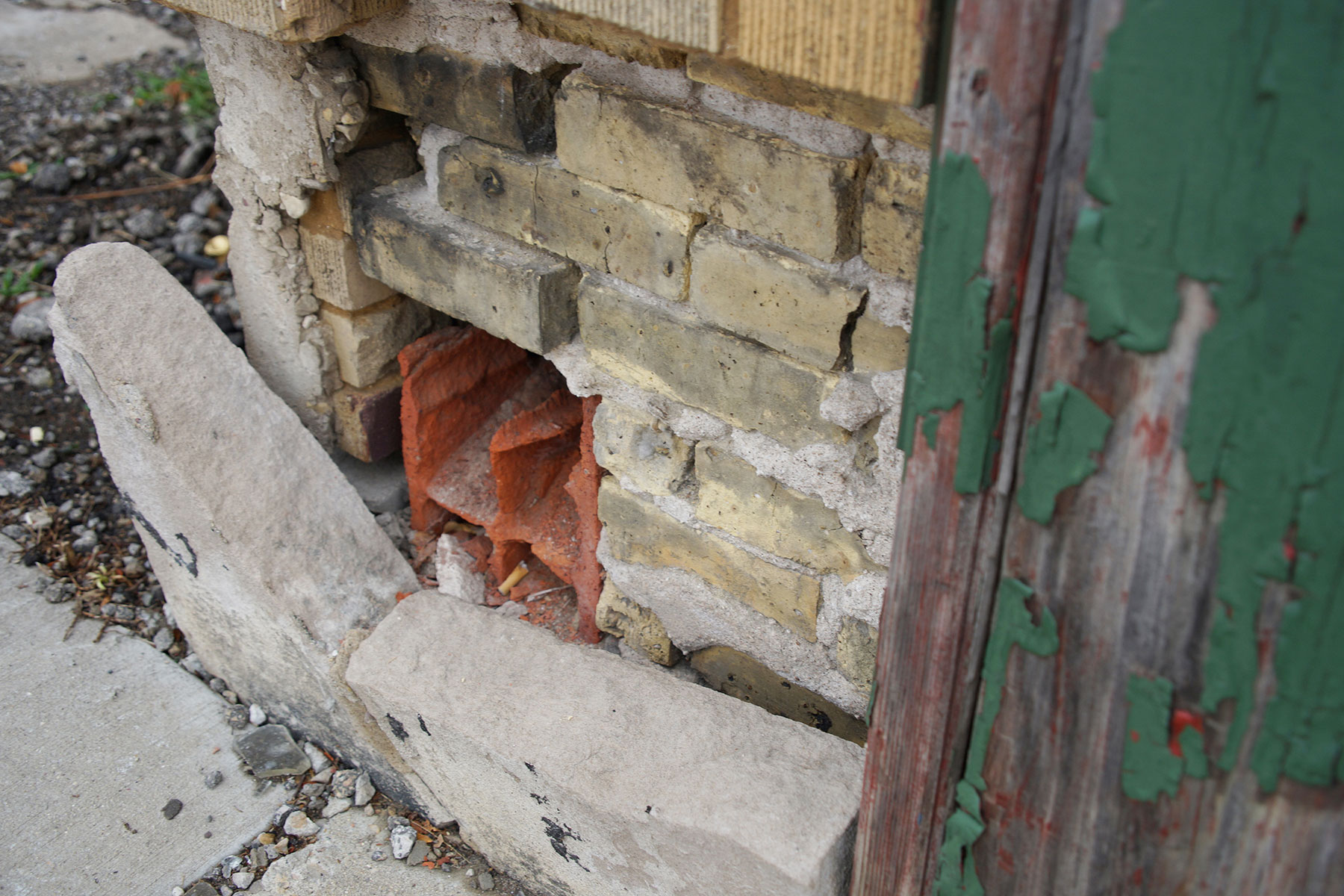
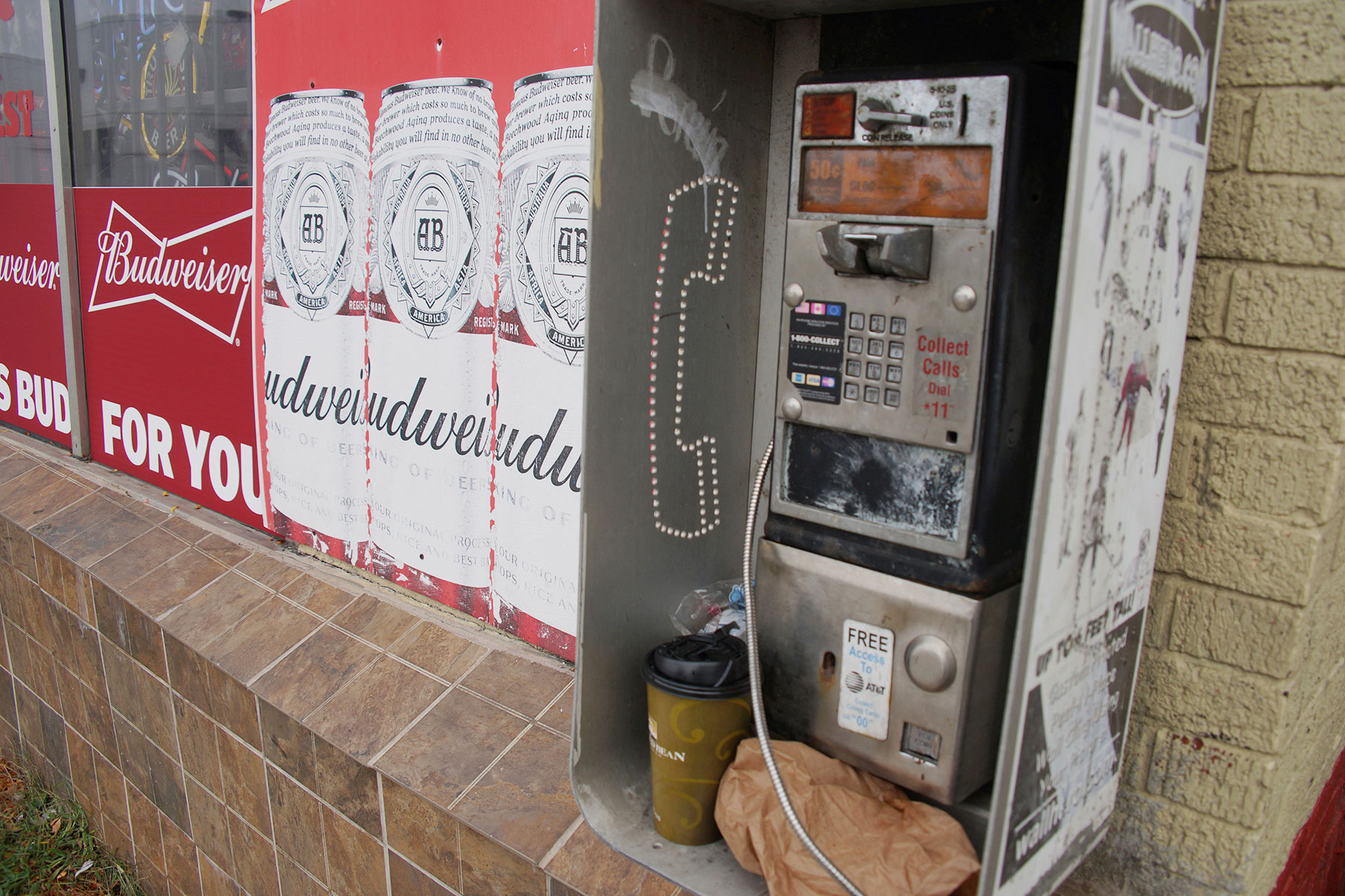
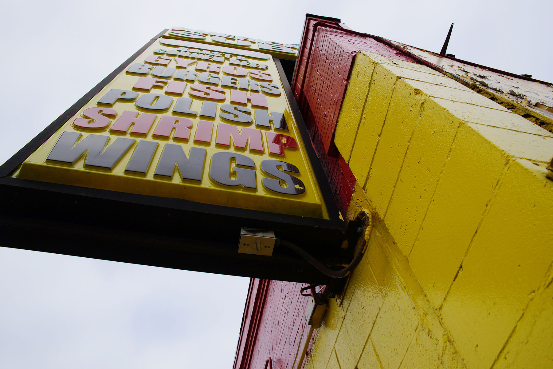
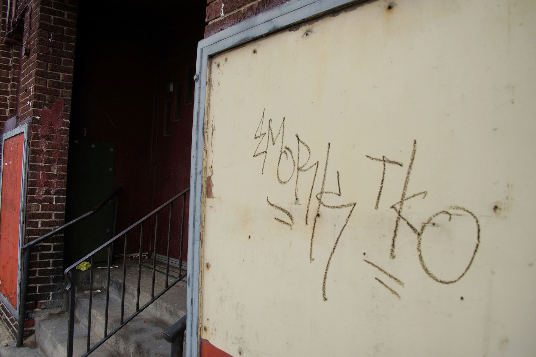
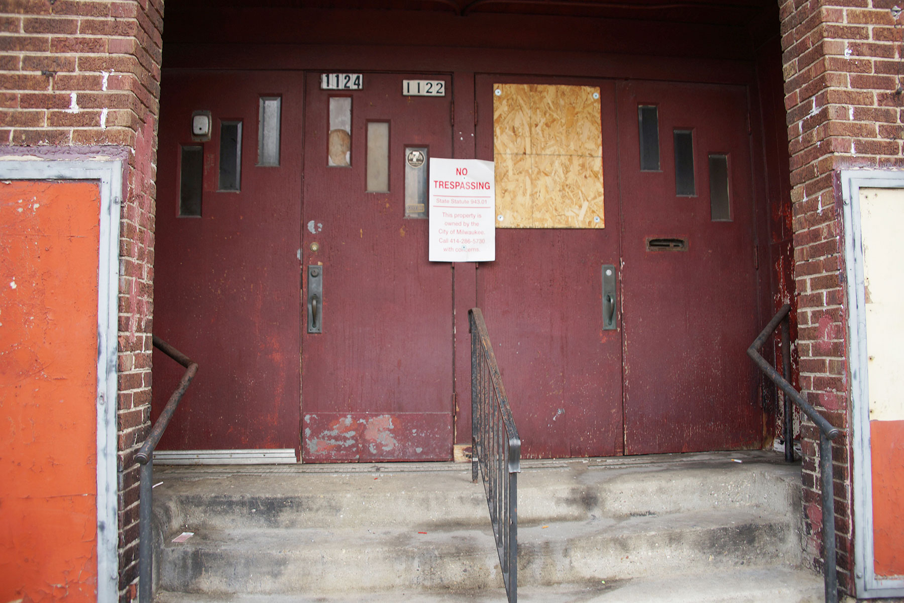
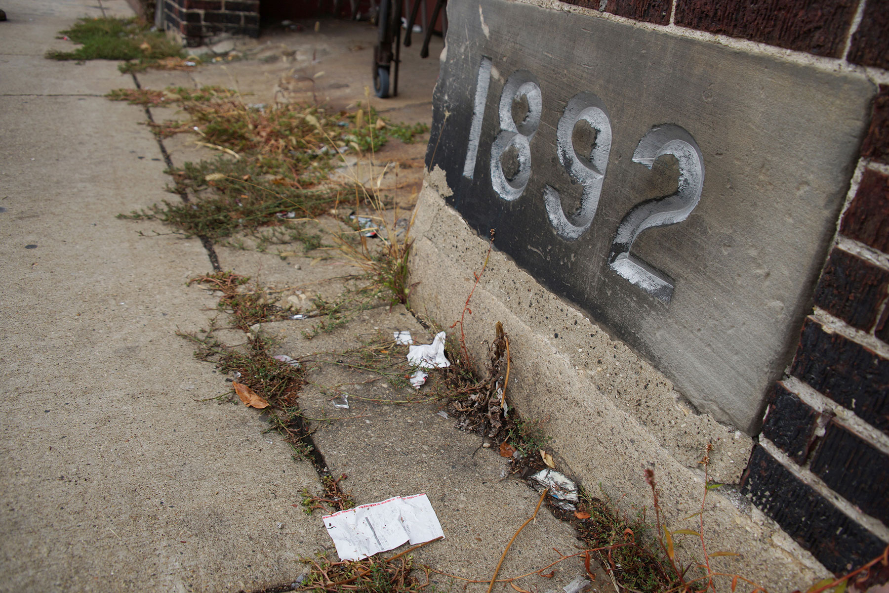
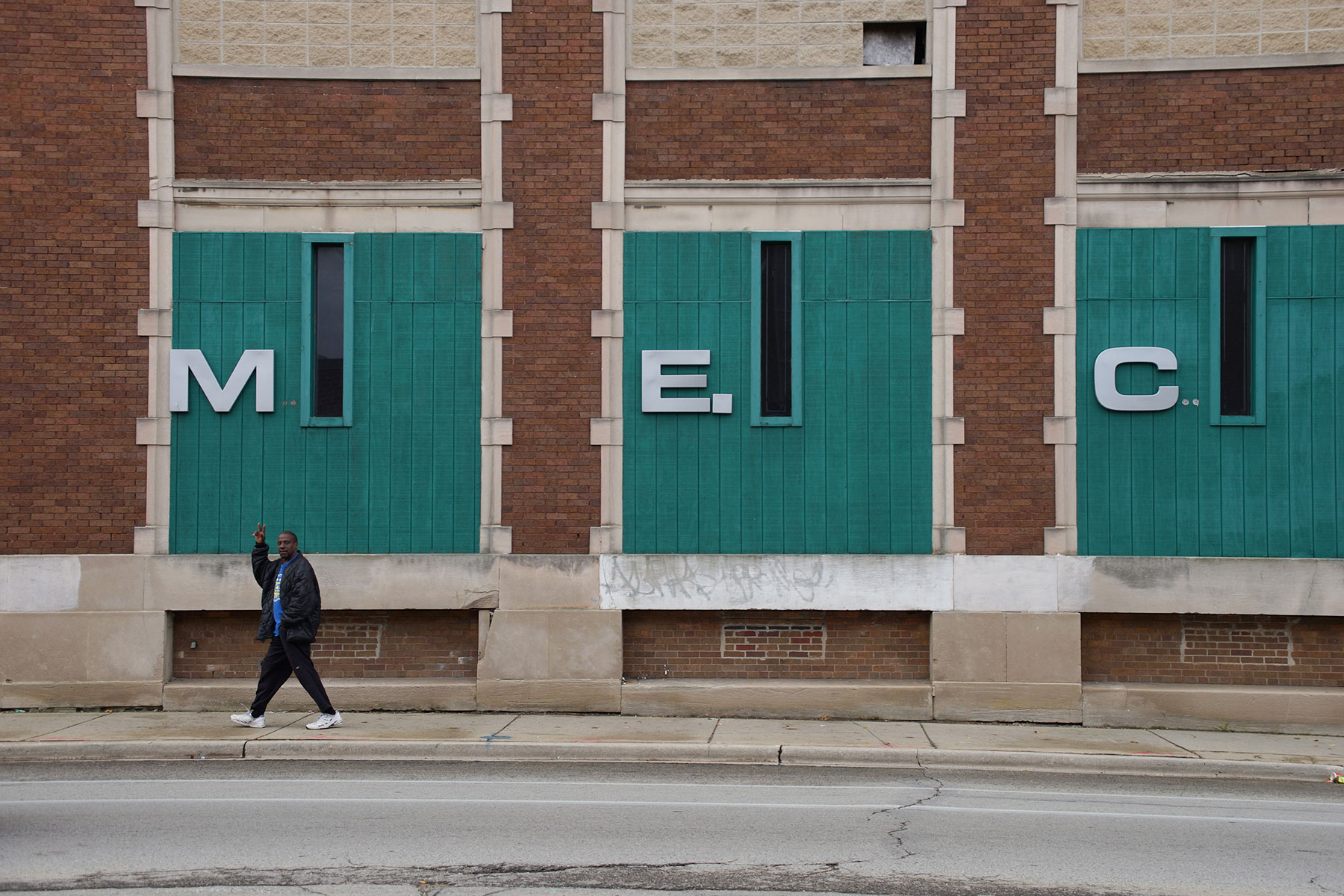
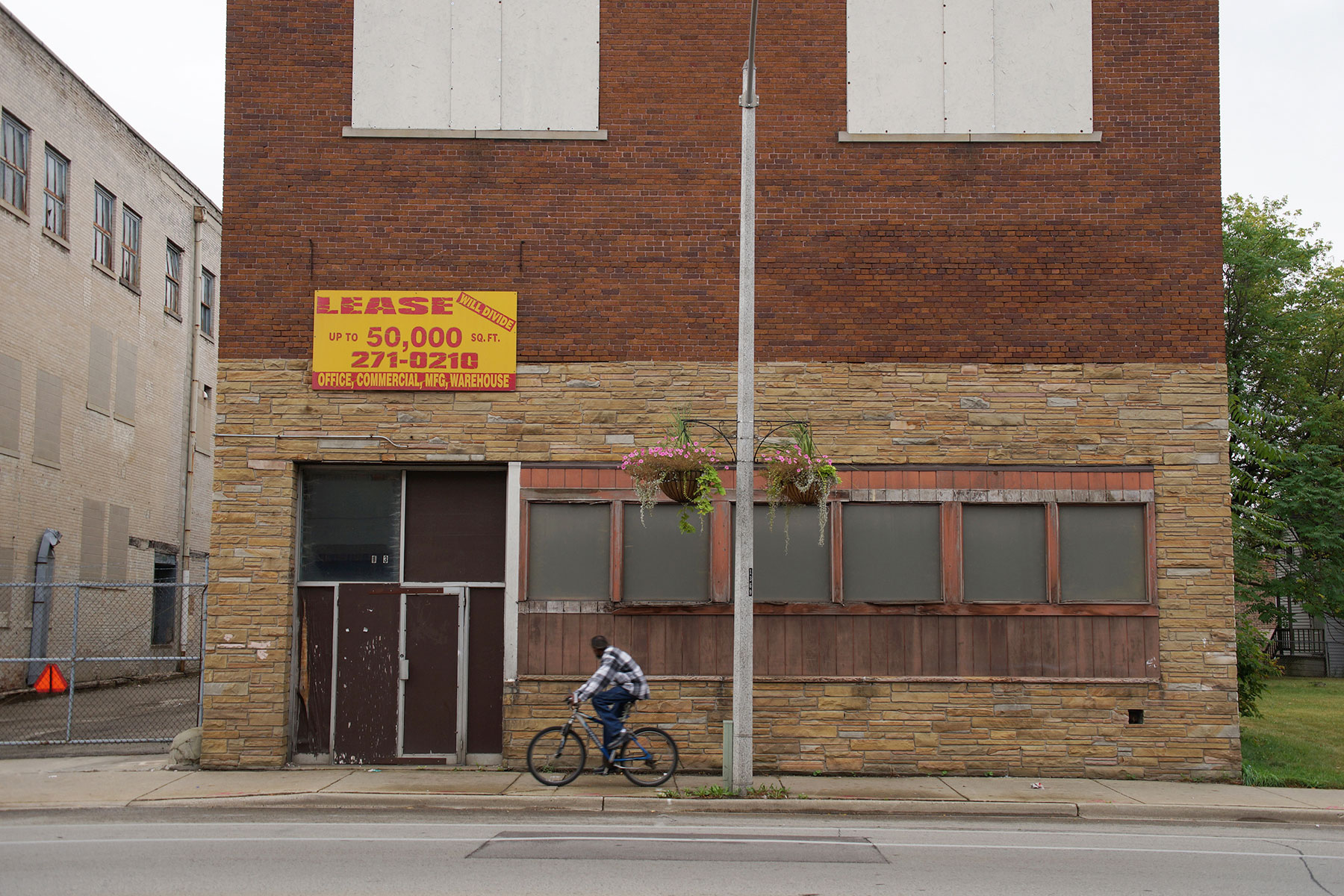
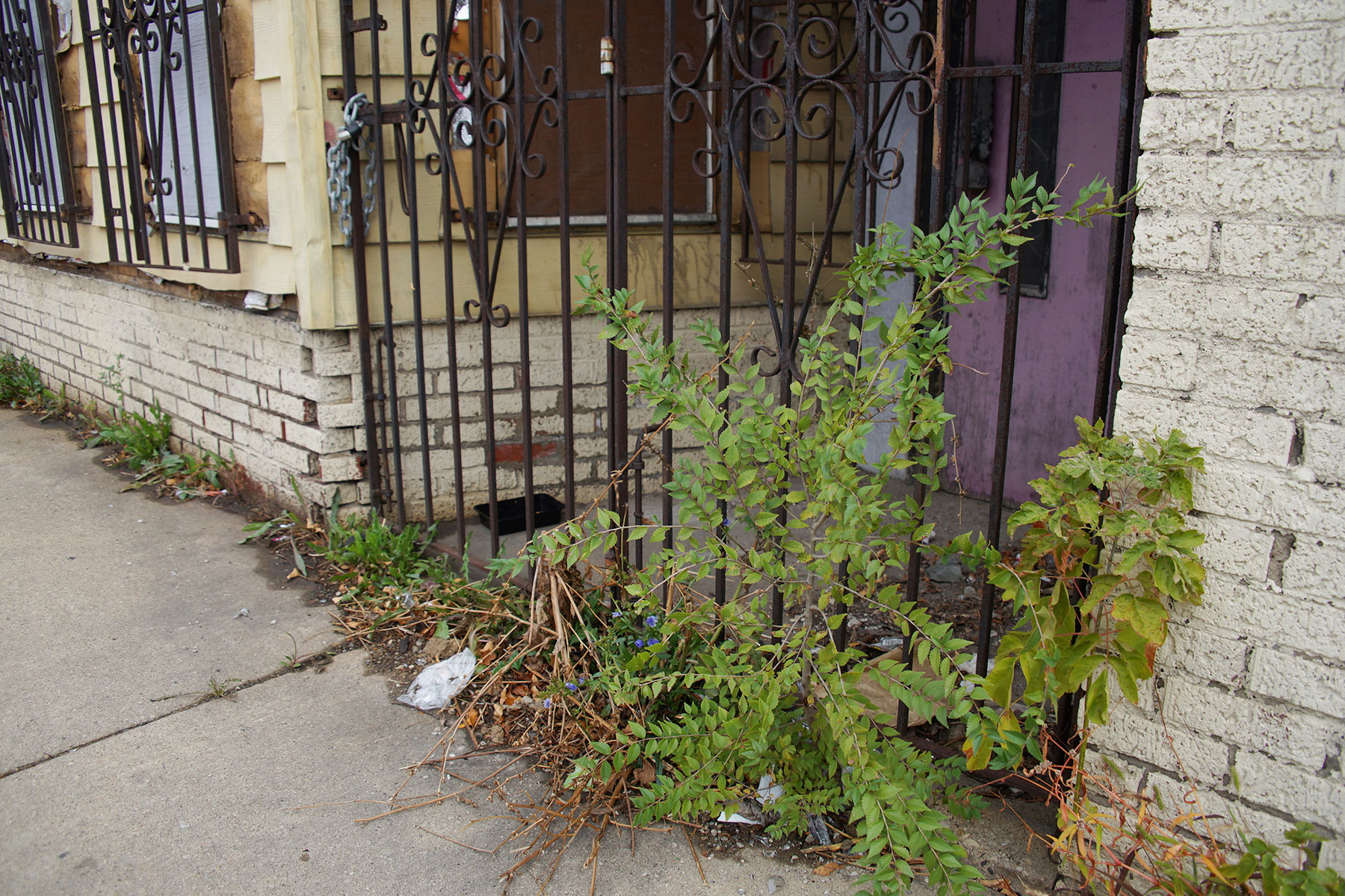
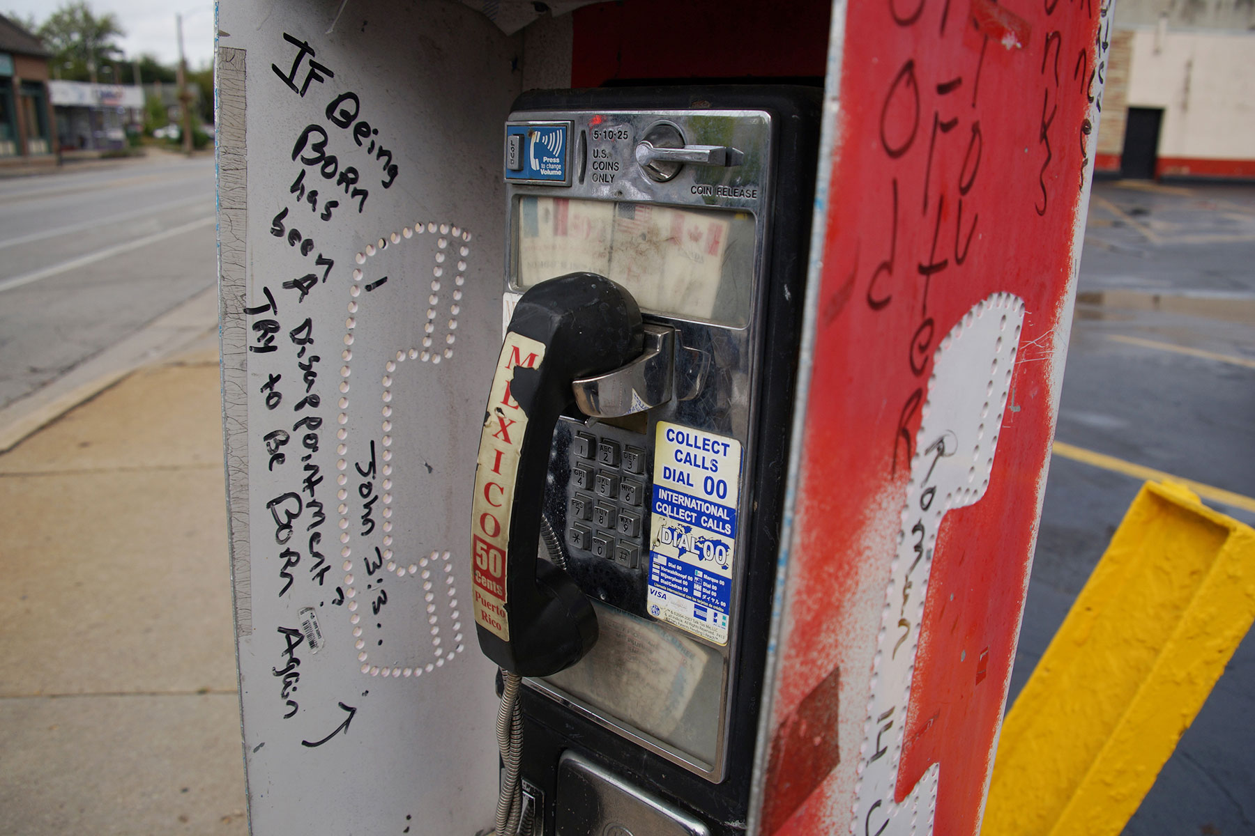
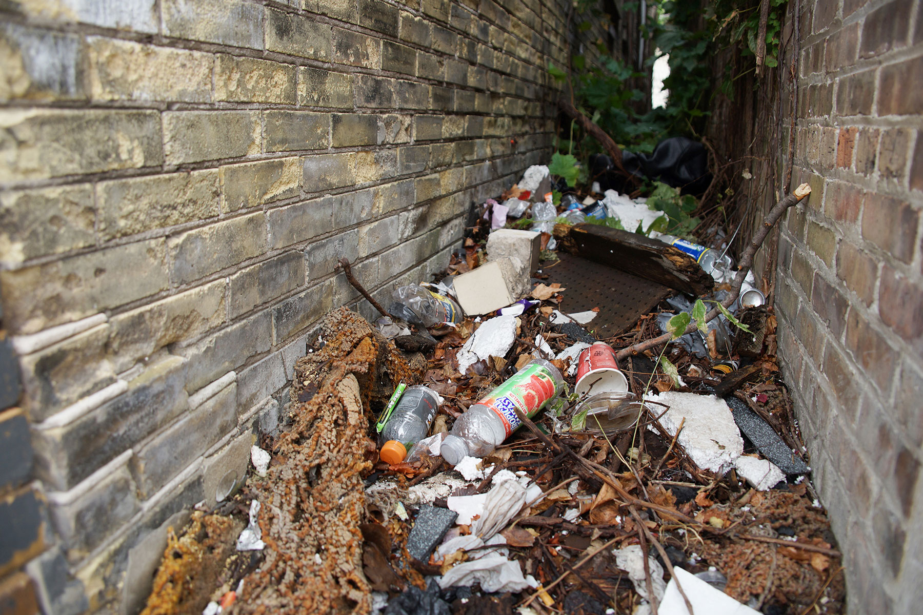
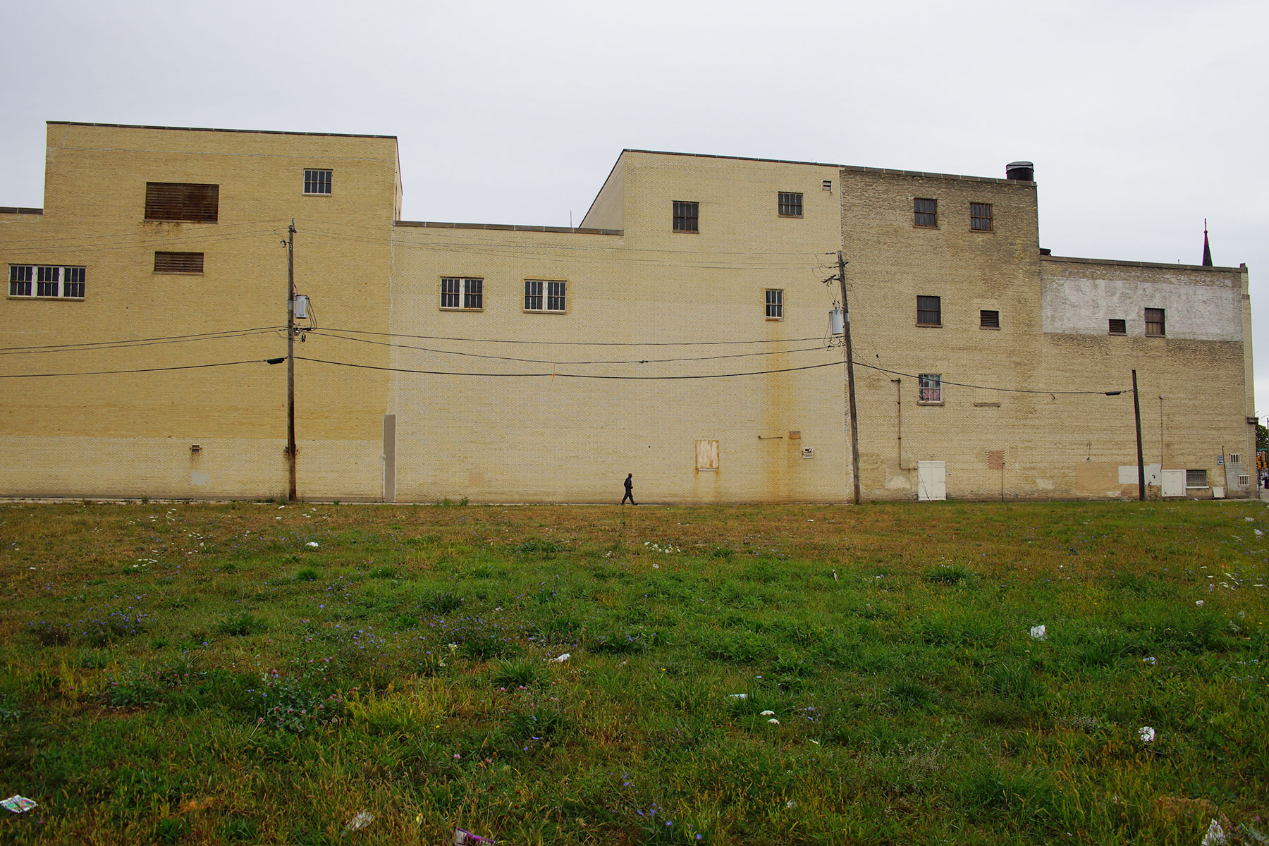
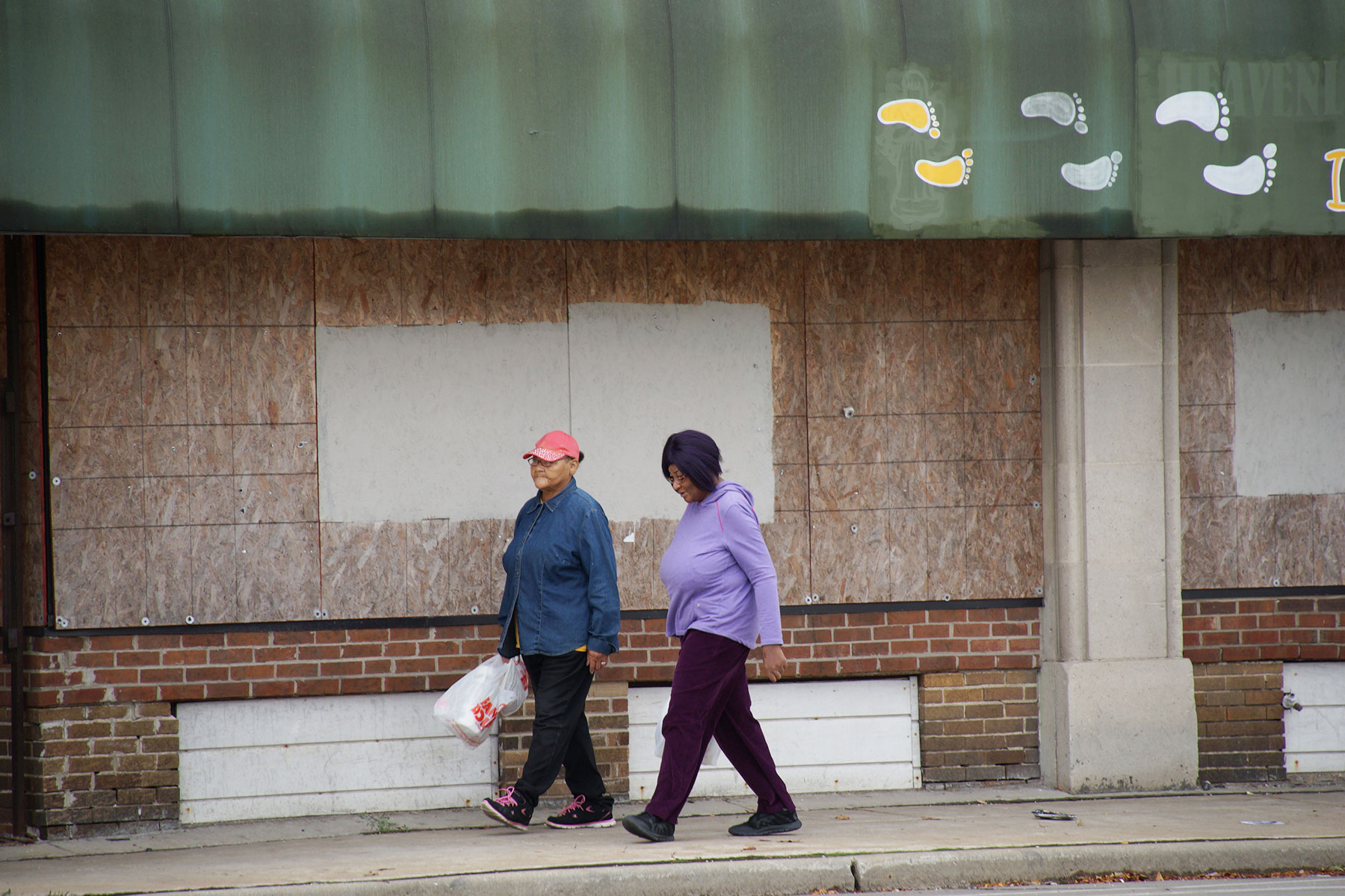
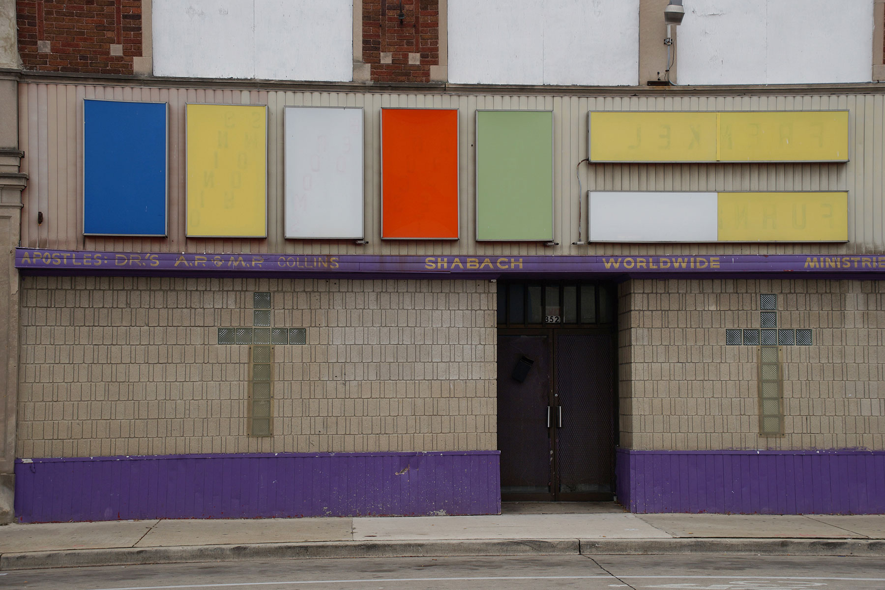
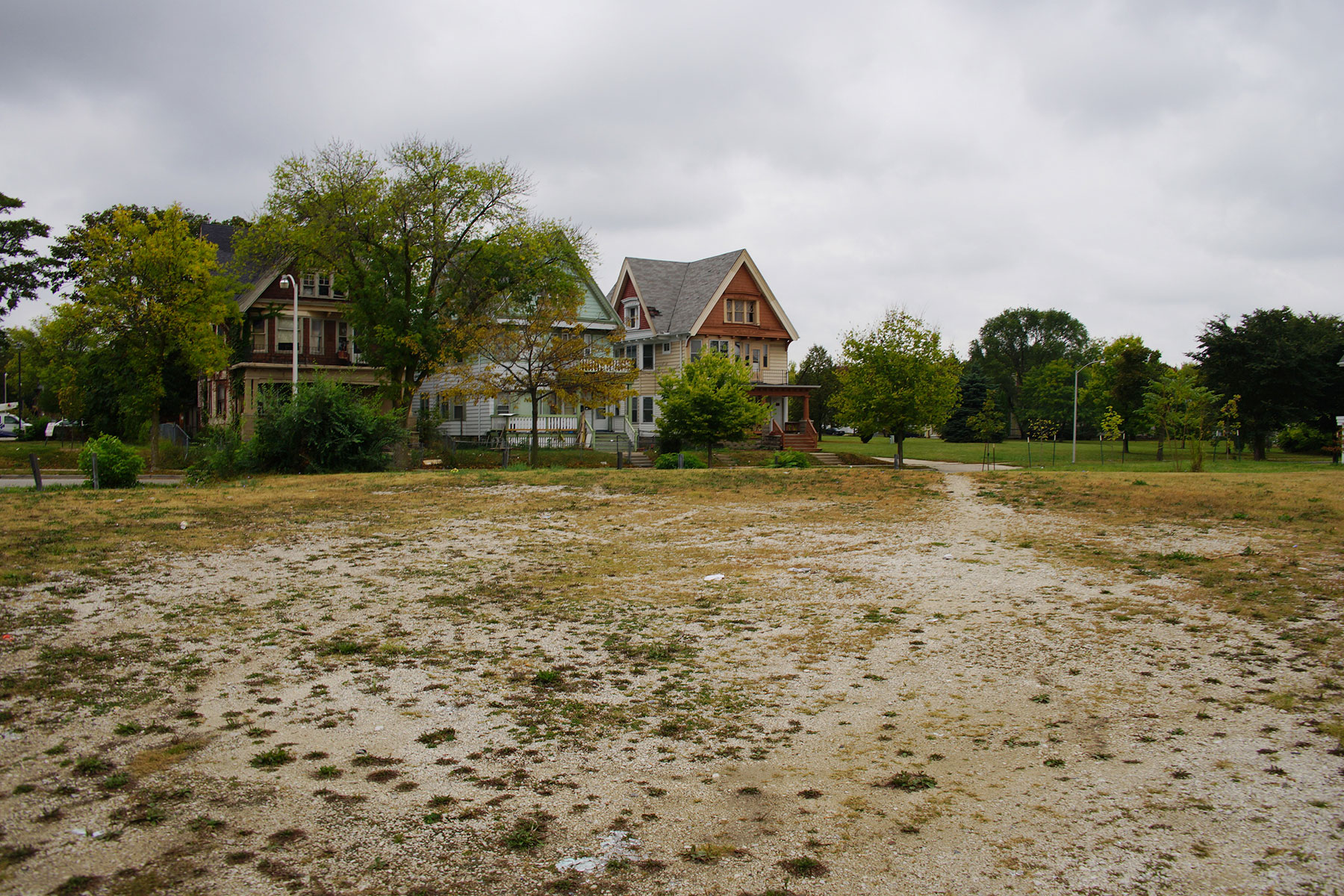
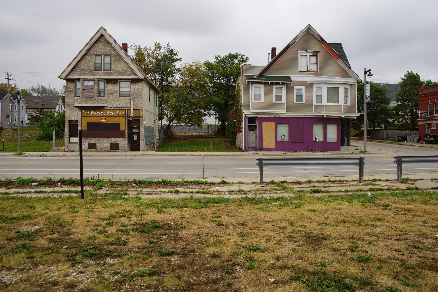
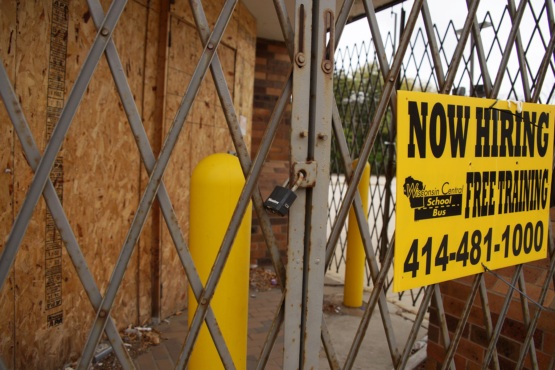
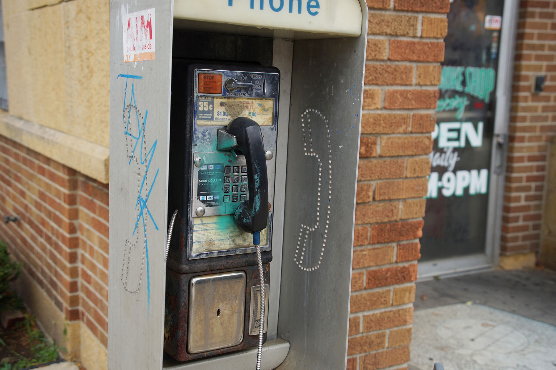
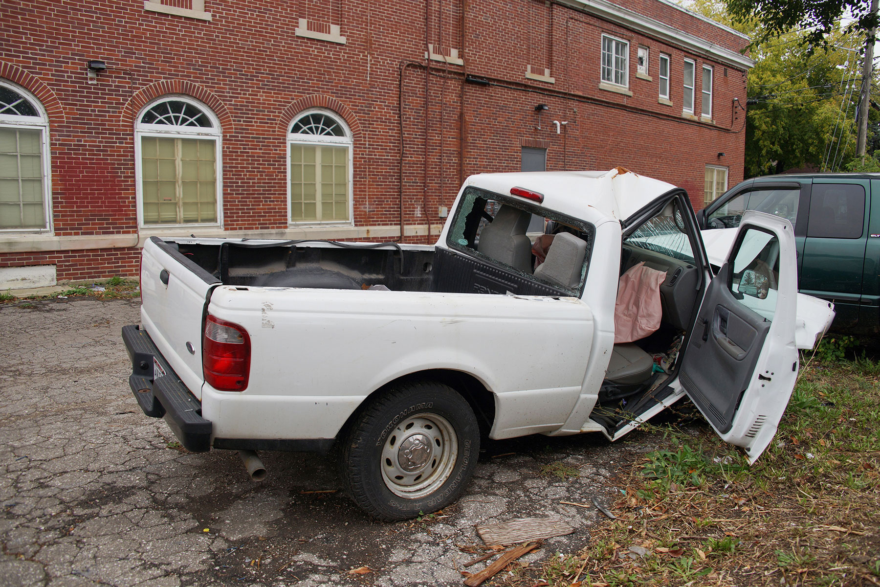
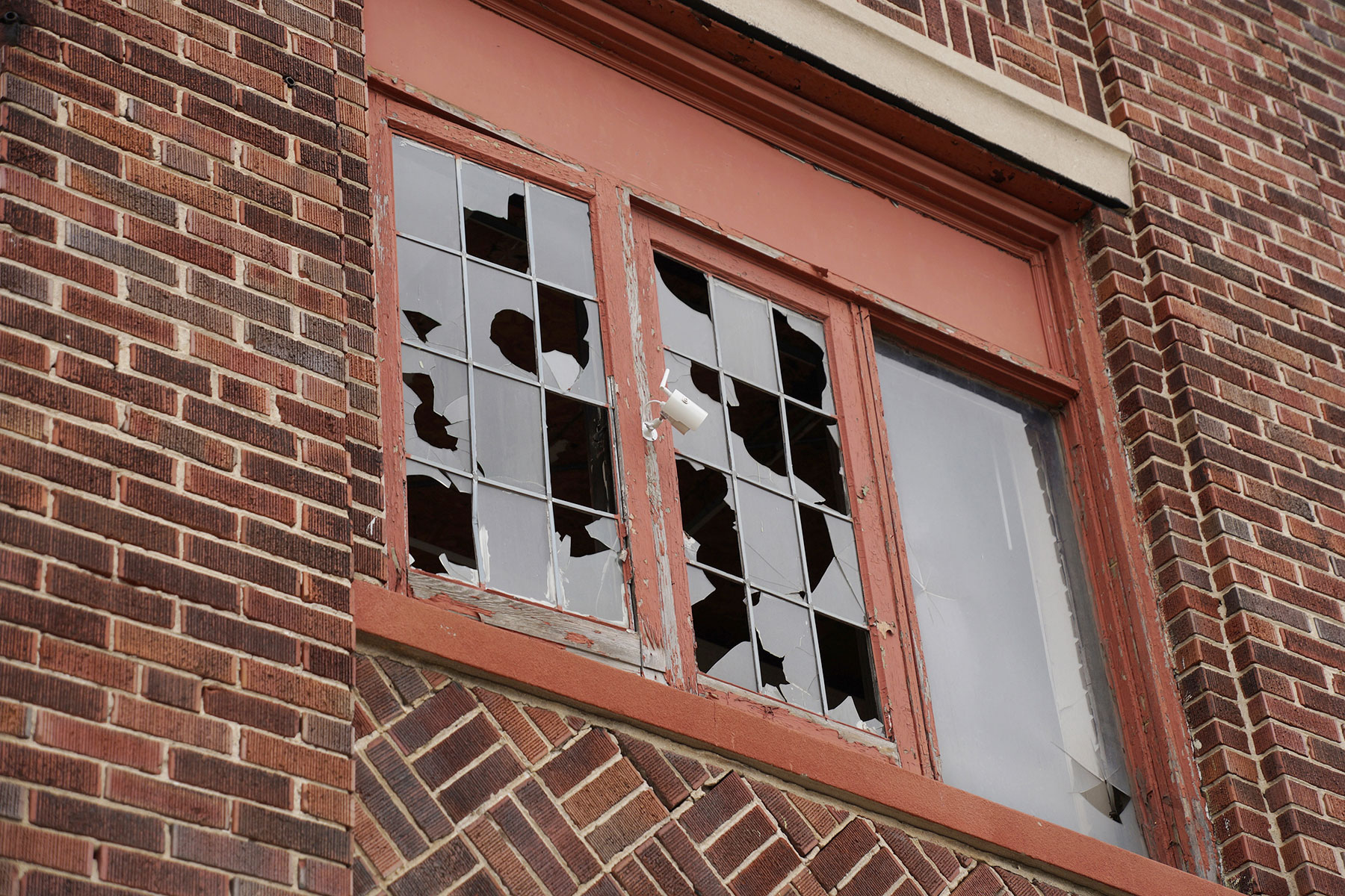
Along the walk was an evolution of culture, from hipster bars and affluent eateries, to neglected streetscapes littered with garbage and unmaintained vacant buildings. Hubs that had once been the center of life for generations, struggle through the pains of rebirth after decades of abandonment. As populations in the various districts shifted, homes once built by industry titans sit with boarded up windows next to new businesses trying to re-establish an economic footprint in the area.
The Chief Lippert Fire Station on North Avenue 7th Street, more commonly remembered as the old Milwaukee Inner City Arts Council building, is now best known for its 1984 mural painted by local artist Reynaldo Hernandez. The work, depicting moments in African American history, was restored in 2016 about a year after Milwaukee Independent’s original Walk Across Milwaukee.
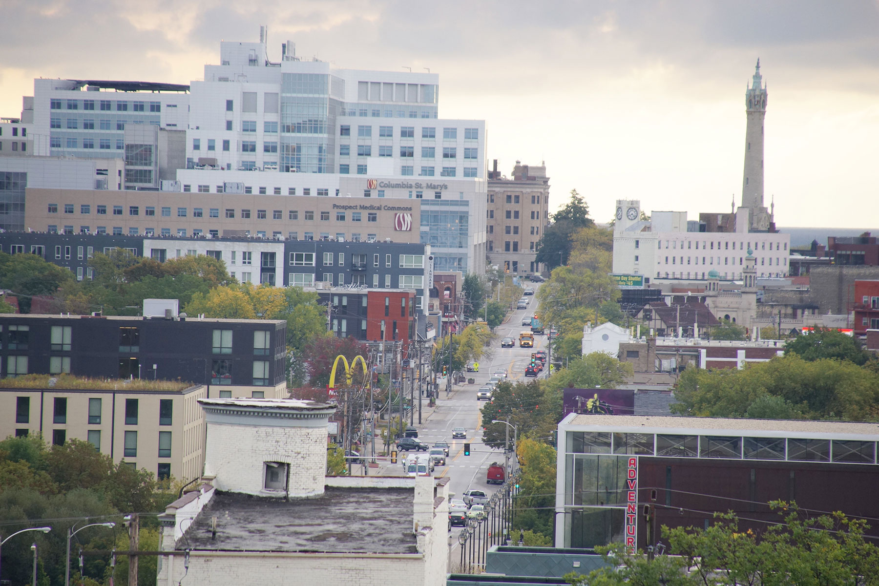
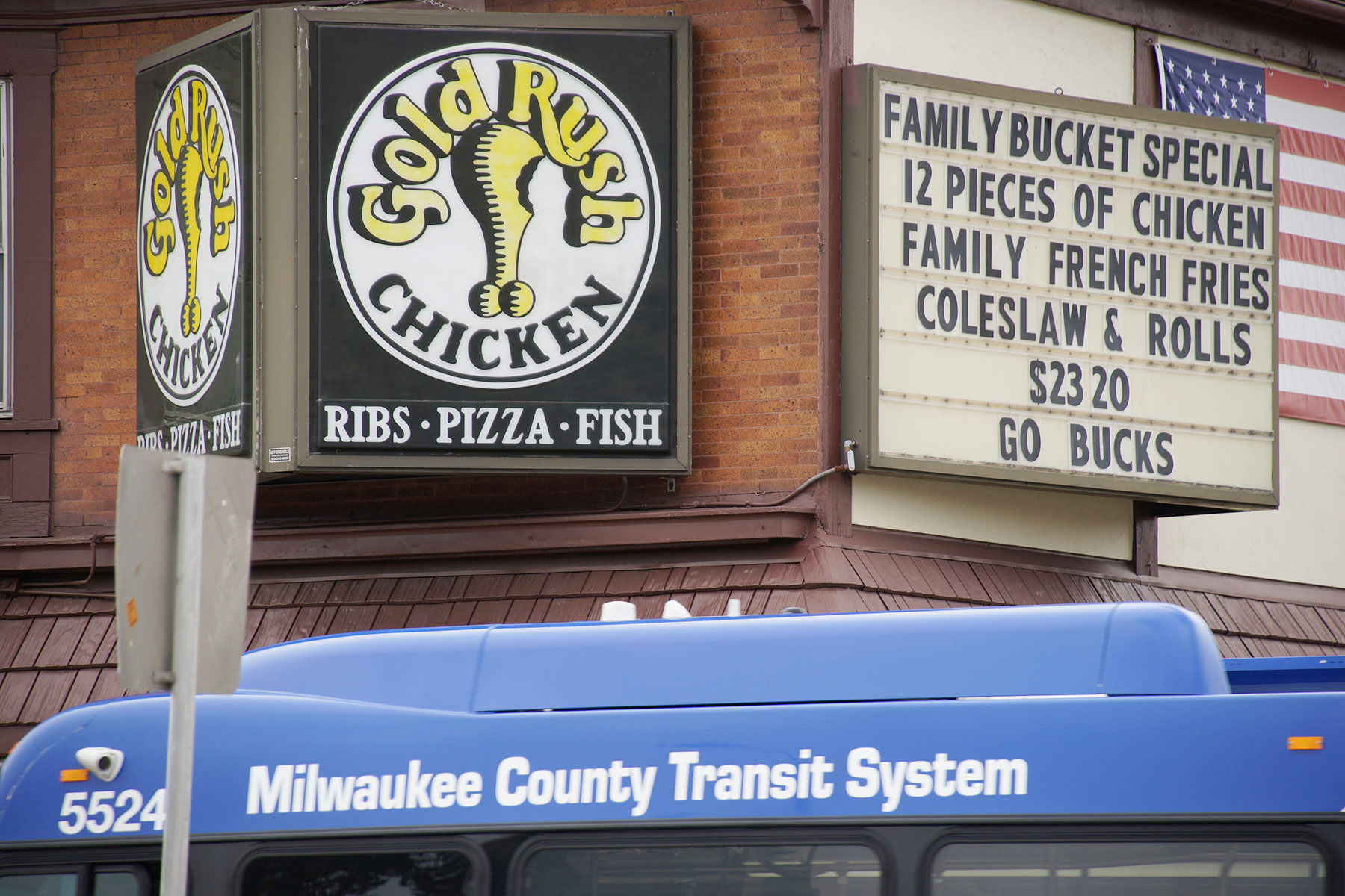
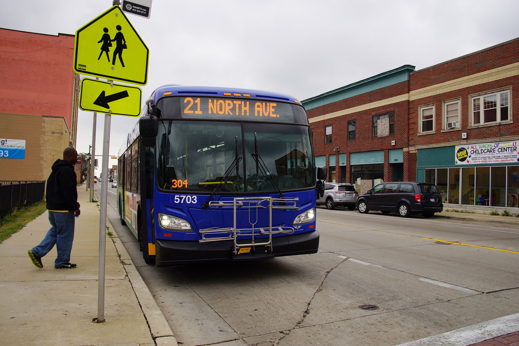
The 5.5 mile stretch of road that serves as a transportation artery, featured commercial hubs and shopping districts like Milwaukee Mall, which had once been the 1927 Sears, Roebuck & Company location. It had been a popular junction and catalyst of a thriving business community for decades, until the intersection drifted into memory in the wake of social unrest and the shifting popularity to suburban shopping malls.
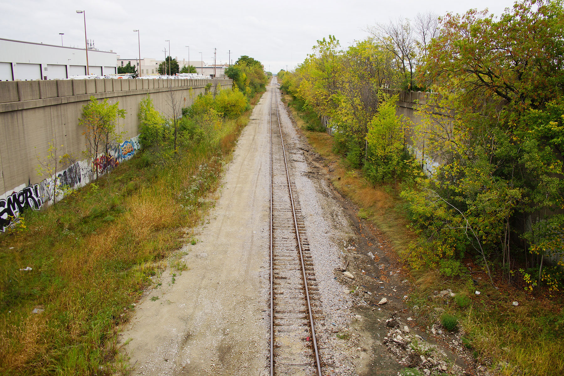
North Avenue remains a sociological study of failed city planning and the long shadow of its effects, like the demolition of homes for an ill-fated Park West Freeway that ultimately was never constructed. Many factors all worked together in a concert of disruption to a lasting and unfortunate effect that changed the fortunes along sections of North Avenue. To rejuvenate them will take a similar effort in a positive direction.
Much has already been reported about these situations, and more will continue to be written. The images published here, and the whole “A Walk Across Milwaukee” project merely captures a moment in time to use as a visual baseline and reference for the ongoing public conversation. The visual and literal map shows how areas are connected so that the residents understand their spacial relationship to unfamiliar areas of the city.
These images make locations like 16th and North Avenue become real, and not simply a disconnected black hole that pops up briefly as the caption of a newscast.


- Map: Another Walk Across Milwaukee - Two Years Later - Lee Matz
- Journey along North Avenue tells neighborhood stories - Lee Matz
- Photo Essay: Detailed patchwork shows patterns of community - Dominic Inouye
- Photo Essay: Sights through a corridor of Milwaukee - Tim Holte and Janeen Kagel