The Waze Connected Citizens Program aims to ease traffic congestion in Milwaukee and keep motorists better informed.
The Wisconsin Department of Transportation (WisDOT) announced a data-sharing partnership with Waze, the free, real-time crowdsourced traffic and navigation app powered by the world’s largest community of drivers. This is part of a next generation traveler information system that the department is launching in 2017.
Designed as a free, two-way data share of publicly available traffic information, the Connected Citizens Program promotes greater efficiency, deeper insights and safer roads for citizens of Wisconsin.
The program helps WisDOT get more information on real-time road activity, empowering partners to harness real-time driver insights to improve congestion and make better informed planning decisions.
Waze provides partners with real-time, anonymous, Waze-generated incident and slow-down information directly from the source: drivers themselves. In exchange, WisDOT provides real-time government-reported construction, crash and road closure data from 511 Wisconsin to Waze.
Waze data will be incorporated in to a redesigned 511 Wisconsin website coming online this spring. The new site will provide users with more features, to include: dynamic route planning, real-time transit information, personalized camera feeds, weather events and forecasts, and truck parking information. With the addition of Waze and these new features, the department hopes users will be able to better plan their routes and help reduce congestions in metropolitan areas.
“We are excited to begin this partnership with Waze and gain a deeper understanding of real-time conditions,” said Paul Keltner, State Traffic Operations Center supervisor. “Physical incident and condition detection can be cost-prohibitive expensive and doesn’t scale to every corner of our state. This crowdsourced information helps provide the context of why traffic has occurred, in addition to specific incident reports. It’s invaluable.”
The addition of Waze crowd-sourced data is another big step for the department’s traveler information system. The website and phone system was originally launched in 2004 and has since grown to include a free smartphone application and Twitter feed.
“Receiving updates on traffic hazards directly from Waze users lets us share that with other Wisconsin motorists through our 511 Wisconsin system and our partnering agencies that respond to incidents and weather hazards. The more current traffic information we can share with Wisconsin drivers helps them with their personal travel choices,” said Elizabeth Schneider, freeway operations engineer.
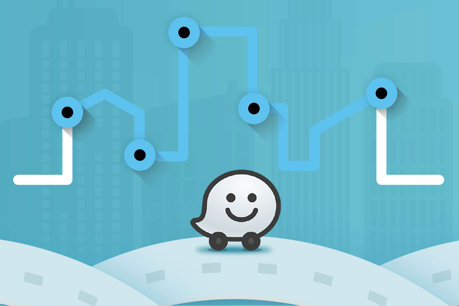
The Waze map evolves with every driver and data point it receives, promoting safer roads and sharing more knowledge with Wazers about potential delays to their commutes. The Connected Citizens program yields even more data, giving local citizens a greater ability to get around road closures and traffic jams within the app. WisDOT can also provide Wazers with advanced notice of major traffic events, such as parades and major sporting events that will affect their daily routes.
“Through the Waze Connected Citizens Program, WisDOT will contribute critical data to the Waze app which is key for hyperlocal citizen support,” said Adam Fried, New Business Development Manager of Waze. “WisDOT will gain access to even more creative solutions and support through our network of more than 125 innovative, collaborative global partners. The immense data and insights WisDOT can provide to Waze and to the Connected Citizens Program community makes them a valued partner moving forward.”
How to Download
- To find out more about Connected Citizens visit: http://waze.com/ccp
- To download the free Waze app for iOS or Android, visit: http://www.waze.com/get
- For up-to-the-minute traveler information, visit: www.511wi.gov