In parallel with the uniqueness of an individual’s identity are the maps each of us formulates of a place within our own mind. The groups of people with whom we interact, the locations which bring us comfort, those we avoid and those which inspire us all merge, bit by bit in conjunction with time, to create our perception of a living map.
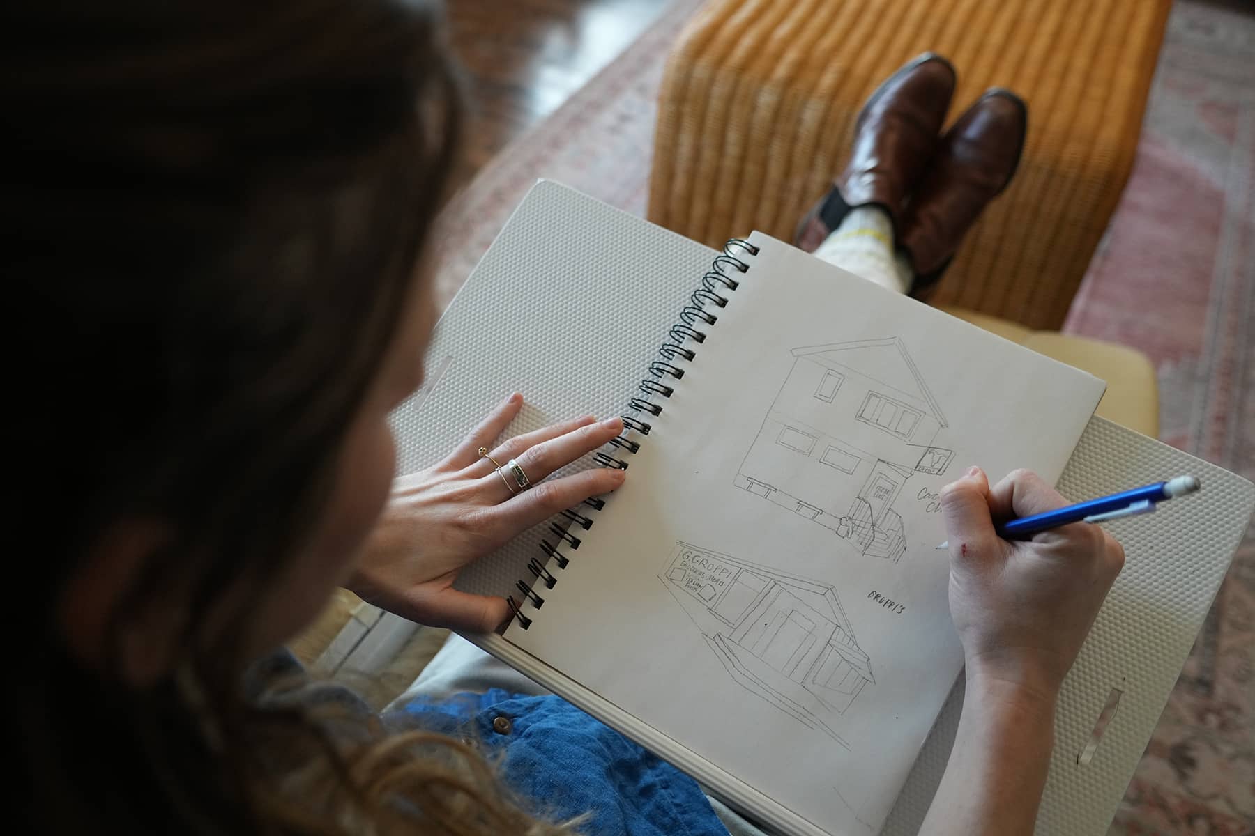
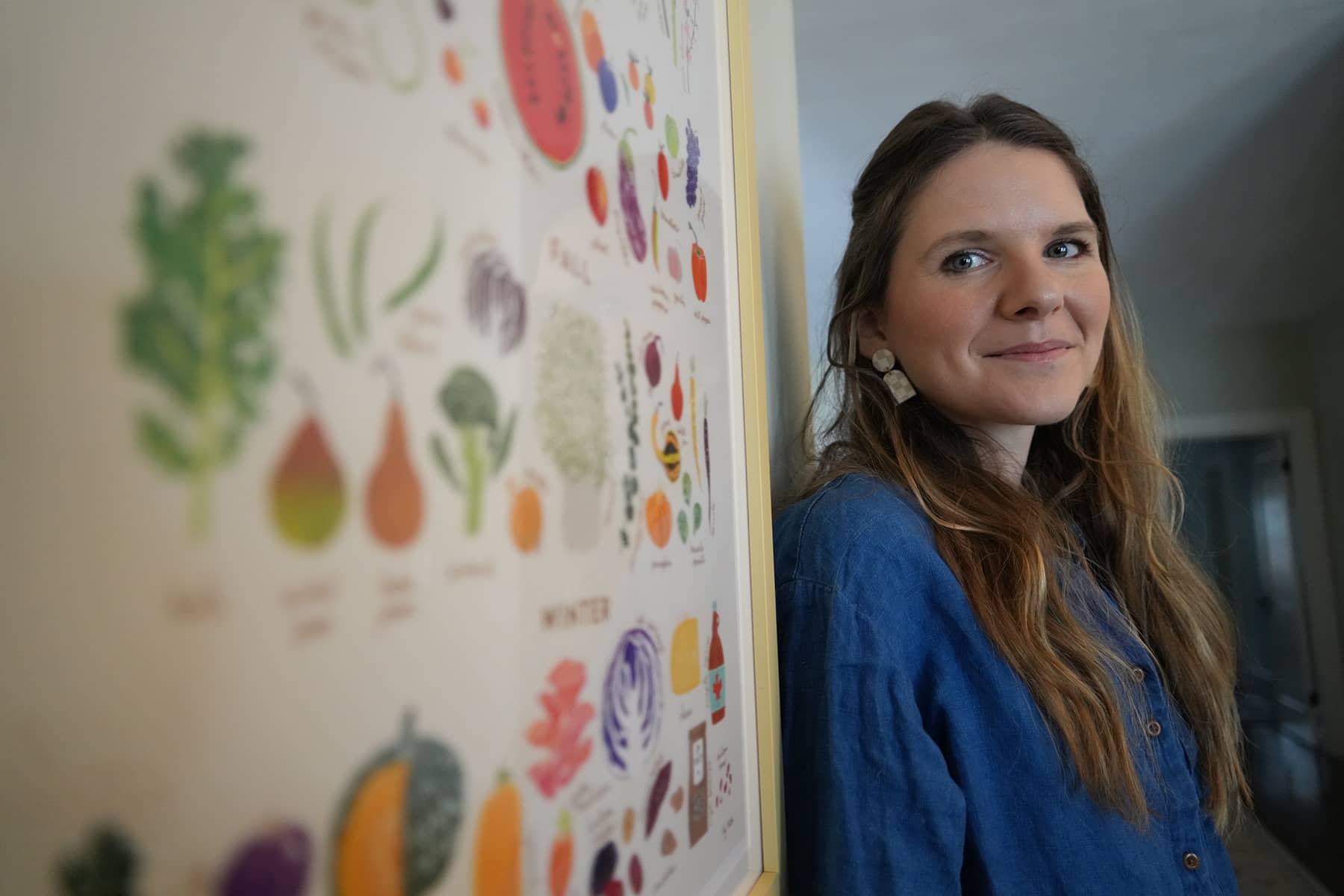
Within this ever-changing landscape of physical locality and our personal associations with it, we do not see black borders and topographic lines. Rather, we see tangible things like buildings, parks, restaurants, cultural centers, and the natural environment. Illustrator Aly Miller takes these ideas of imagery of place to create maps in which she connects a geographic region with a unifying abstract cultural thread.
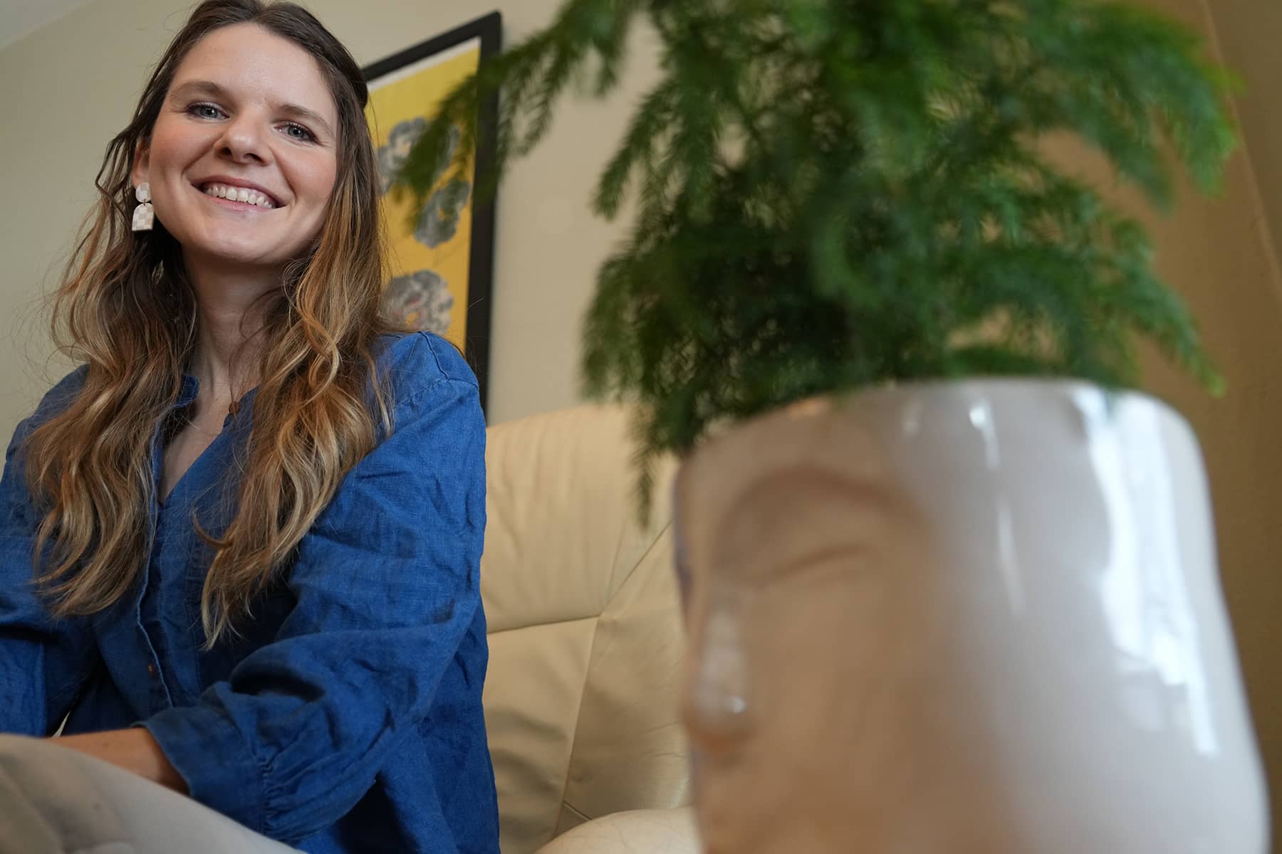
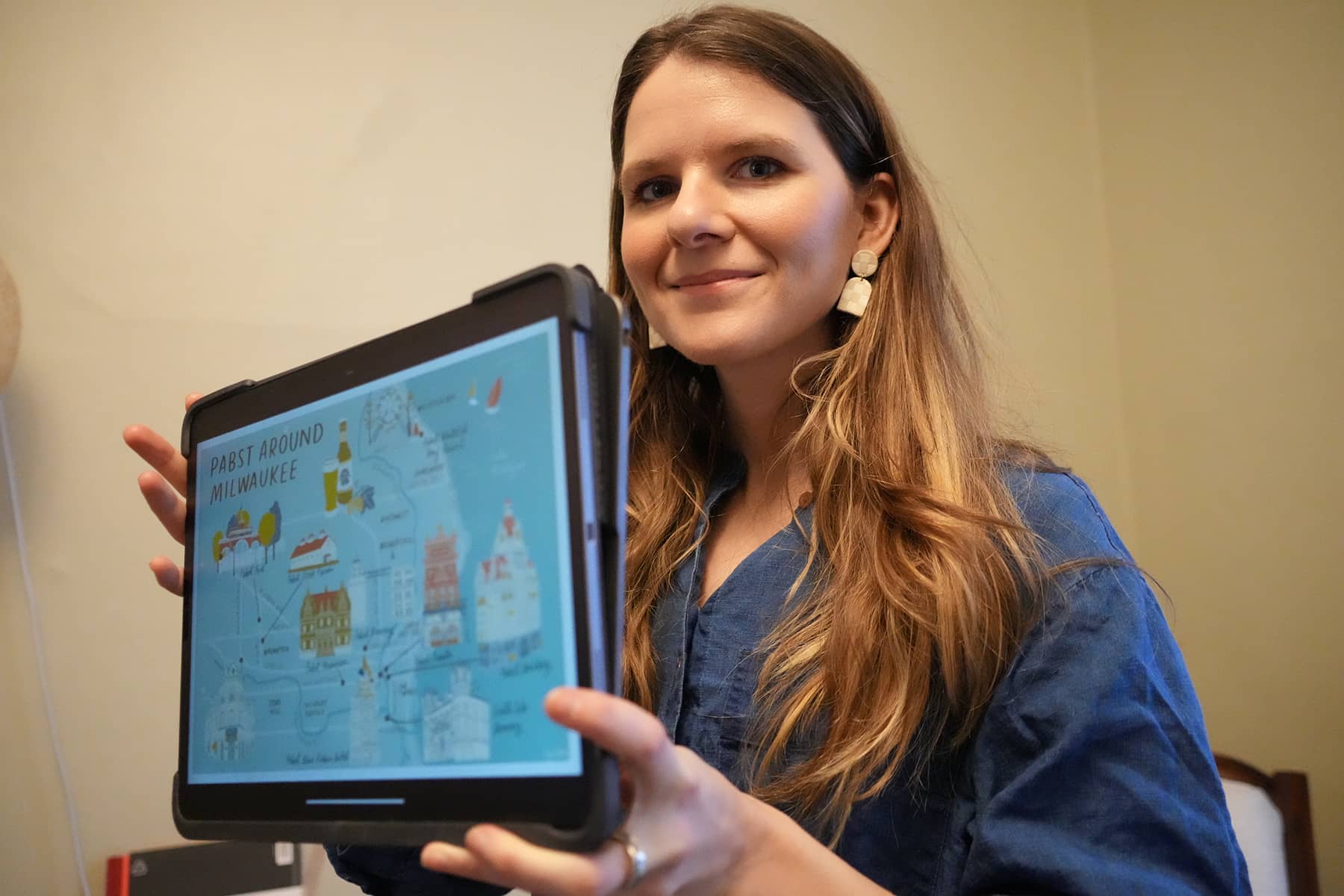
Her work is a fun, lighthearted example of how when prompted to think beyond our immediate circumstances and surroundings, we can begin to see things a little differently. So, when I met with Aly to discuss drawing the Pabst Around Milwaukee map for the Pabst Mansion, I was curious to find out her thoughts on the ties of place, history and identity when creating her specialty illustrative maps.
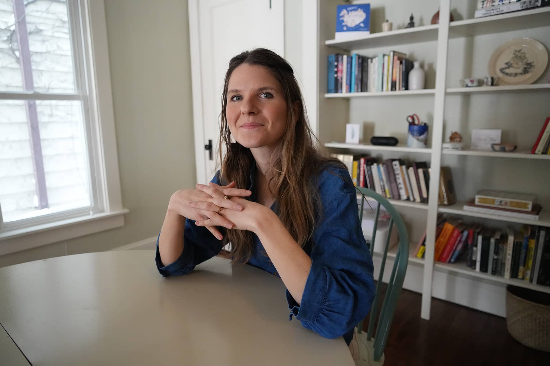
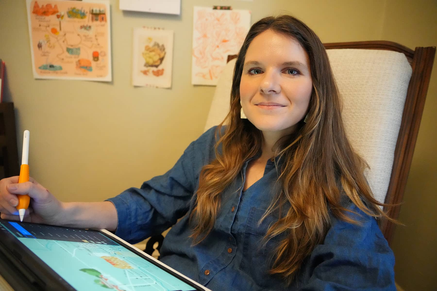
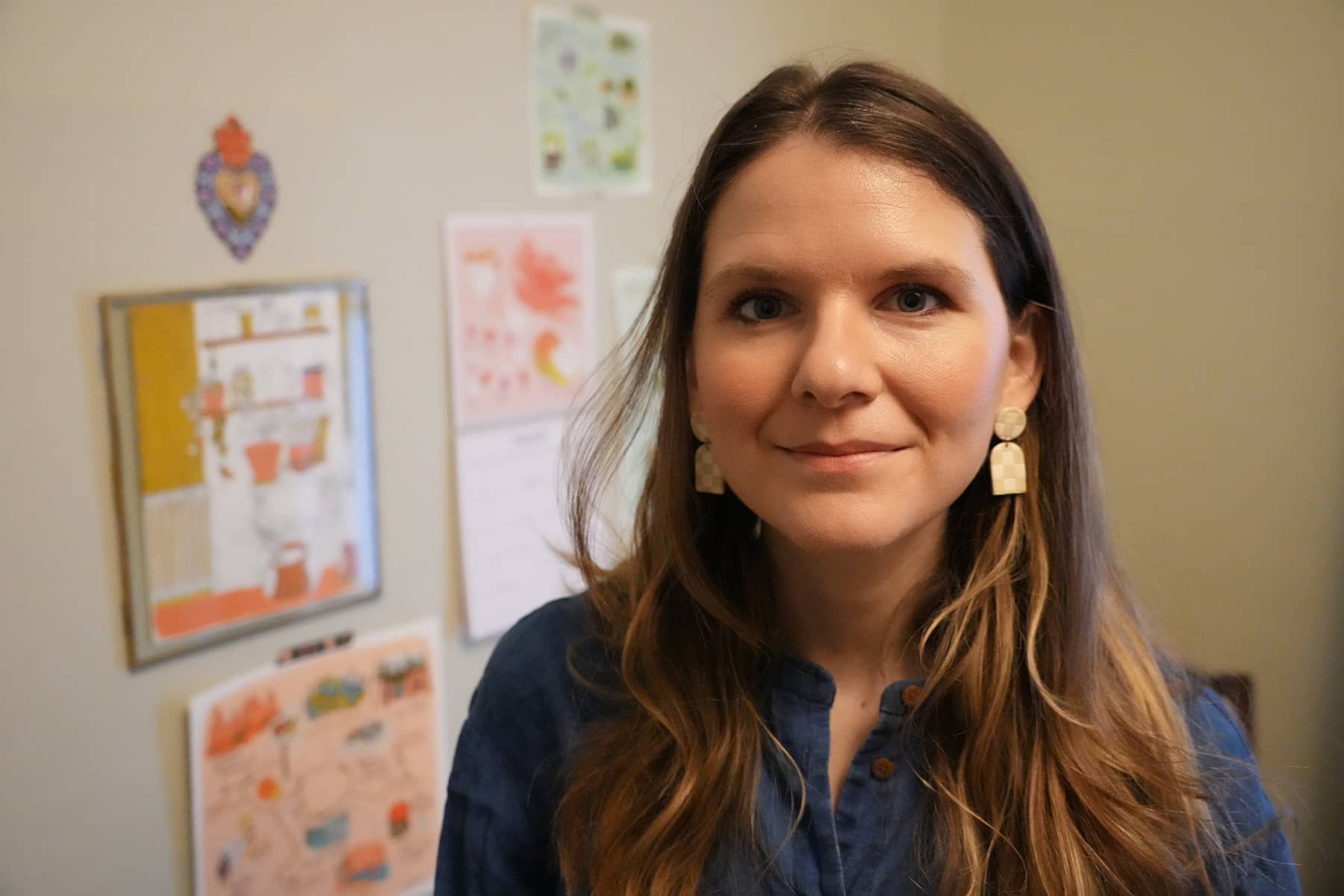
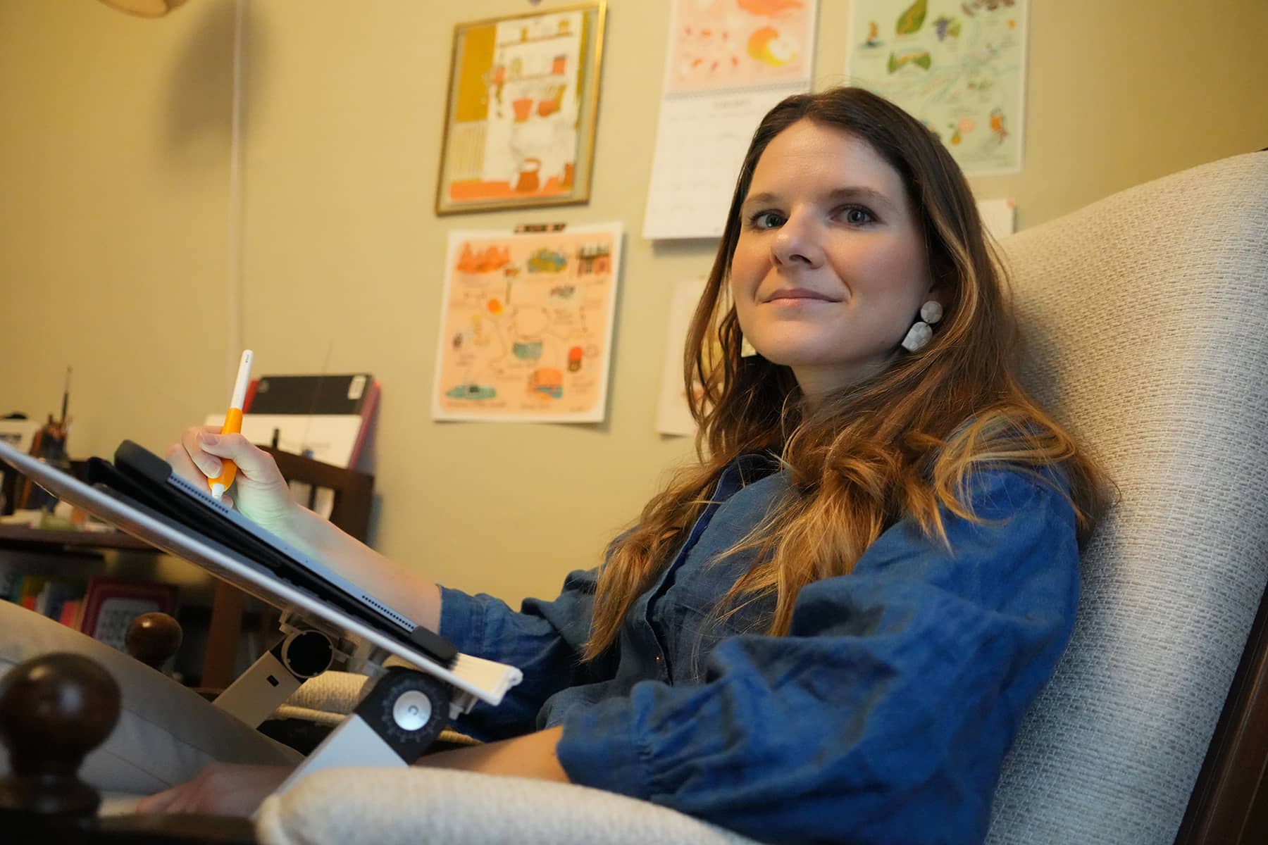
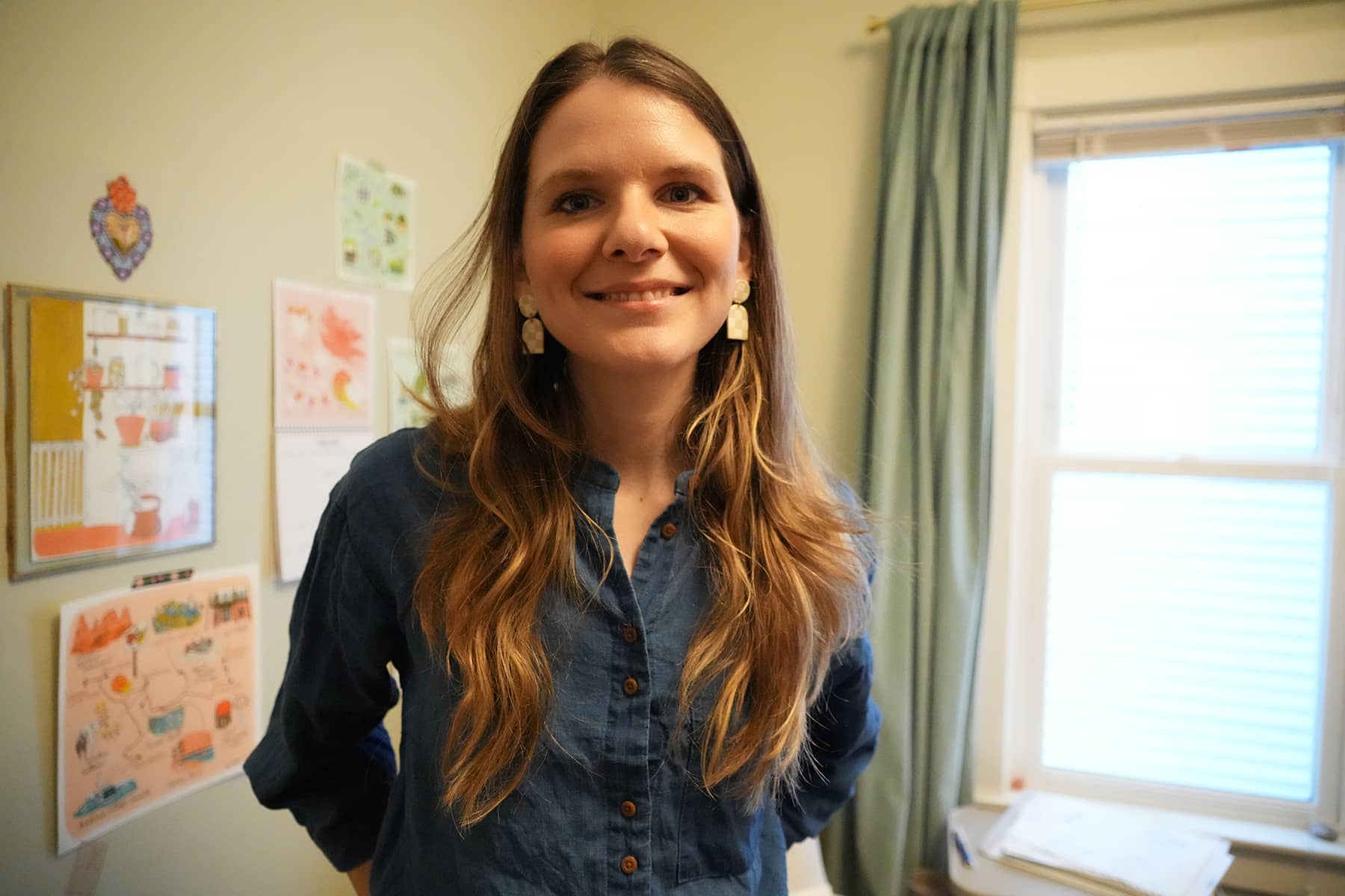
Q&A with Aly Miller
Milwaukee Independent: Your academic background is in human geography. Can you explain what that is? In what ways has this influenced your mapmaking today?
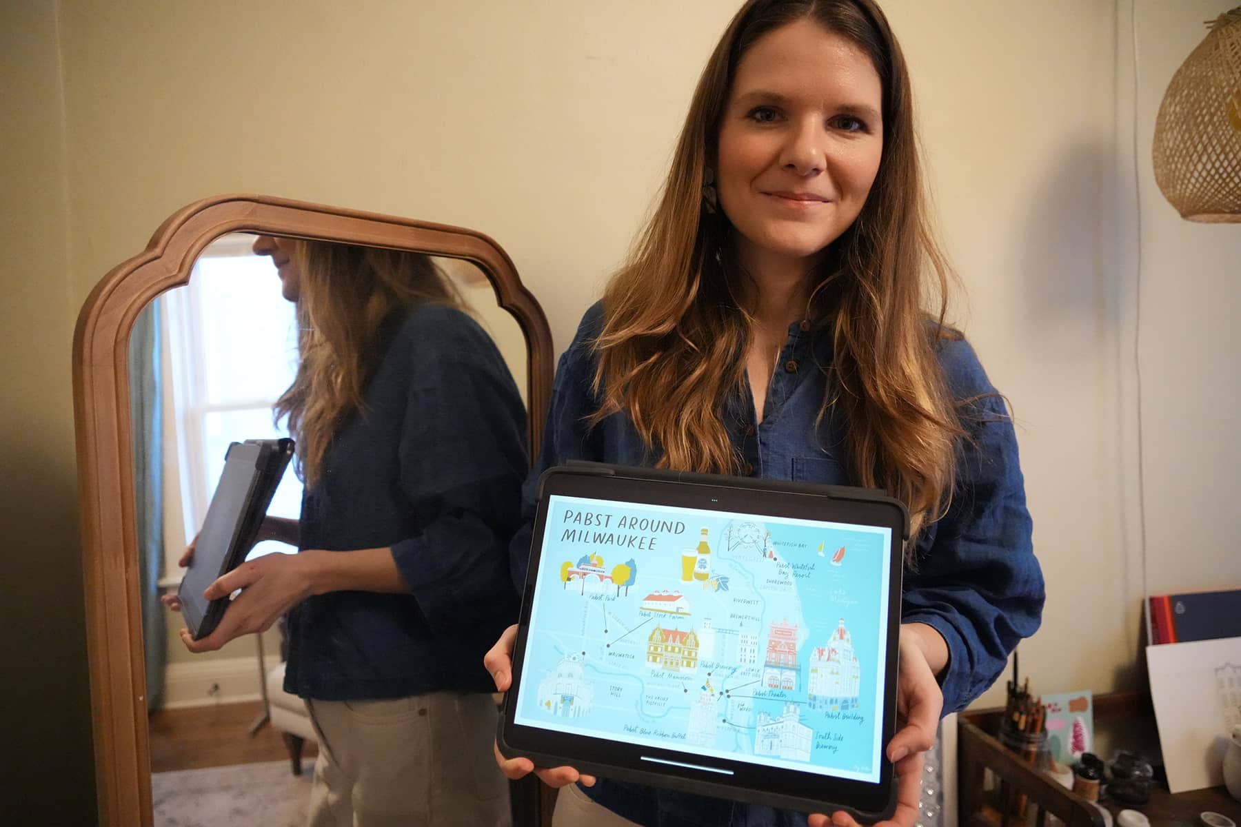
Aly Miller: Human geography is the study of people and their relationship to the earth. It looks at these relationships spatially – exploring the way that people, communities, cultures, and their environments interact. It’s ultimately the story of “the why of where.” This is a question I have about so many places I’ve visited in the world. Like, “why is this neighborhood called Brewer’s Hill and why were there breweries here?” or “why do the subways connect these neighborhoods, but not others?” or “Why are corner stores called bodegas in New York City?” As a map illustrator, I carry this question – ”the why of where” – with me on all of my mapping assignments. I don’t just take a list of places, draw them, and put them on a map. I want to know the story of this place; in what ways did the environment and people shape it into the place it is today? I think the result of these questions make for really interesting maps, and really soulful ones. In researching these questions, I might decide to add in regional plants and animals, or base my color scheme lettering decisions off of a famous building in the city, as I did for the Pabst Around Milwaukee map.
Milwaukee Independent: With man-made borders arbitrarily created, what do you feel in essence ‘makes a place’? Who participates in this?
Aly Miller: This is a great question! I think a place is as much a shared feeling as it is a physical location. But I’ll start with the physical: physically, a place is made by the patterns of everyday life – by people who live and work there and create certain footpaths or traffic patterns, and build homes or farms or places for business or gathering, and more. Place is also shaped by the climate that carves out riverways or brings rain and snow or many days of sunlight, for example.
The other part of place making is emotional; what it feels like when you close your eyes and imagine it. There are details that stand out that help paint that picture – the climate, the sounds, maybe a specific street or a specific natural setting and the plants and animals there. Place is personal, but it’s also a shared understanding within cultures and societies (the concept that Milwaukee is a place in the Midwest, for example). This aligns with one of my jobs as a mapmaker – how do I represent places in a familiar, reliable and relatable way?
I think from here, it’s interesting to look at which people or groups of people might have had more influence over place-making, and during what times. The famous tree lined streets of brownstone Brooklyn, for example, is a deeply memorable place for me. The people, and the social and environmental patterns that built these homes are long gone, replaced by new patterns of immigrants and artists and resourced newcomers who change these homes and streets to meet their needs. The result is a shifting landscape of participation and power. This is how one place can mean different things to different groups of people.
Milwaukee Independent: How do you think mapmaking in general constructs a sense of place and identity?
Aly Miller: Mapmaking is an attempt to describe space and place, in a convenient way that shows physical locations in a 2-D scenario. Cartographers make maps to tell different stories about climate, weather, cities, roads, people and the environment. In my case, I’m often making maps that tell travel and food stories.
Cartographers can strengthen the shared idea of a sense of place by including elements they deem important, and excluding others. This isn’t as nefarious as it seems – it’s actually a practical way to convey information in a limited space. For example, in Pabst Around Milwaukee, I reinforced the idea of Milwaukee as a prominent place in the history of beer brewing. In narrowing the purpose of this map, I chose to exclude information about our sports teams and other industrial pursuits. Doing so helps situate the viewer, and helps tell the story efficiently.
Another way that mapmaking constructs a sense of place is through the overemphasis or distortion of land masses to communicate what’s important. In a transit map, for example, the details of the subway routes are emphasized, whereas the spatial accuracies of the land masses and coastlines are given only the bare minimum amount of detail for them to be recognizable (the NYC subway map is my favorite example). Like any story, the details are influenced by person who pens it.
Milwaukee Independent: Can you describe your ‘brand’ of mapmaking?
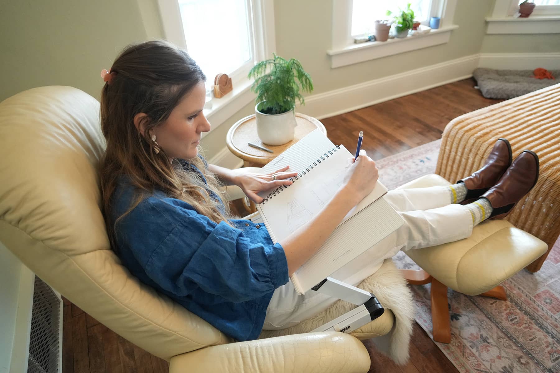
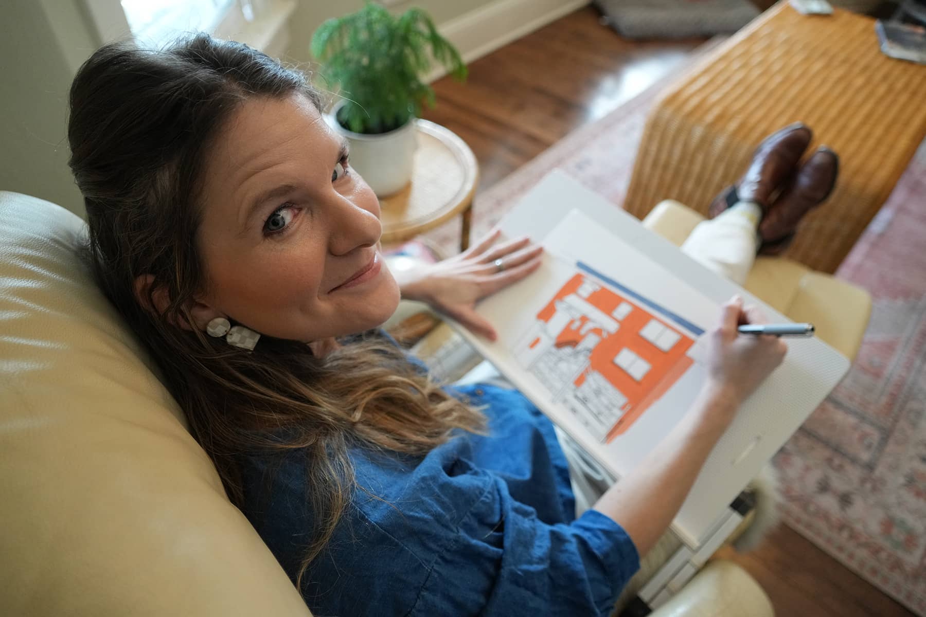
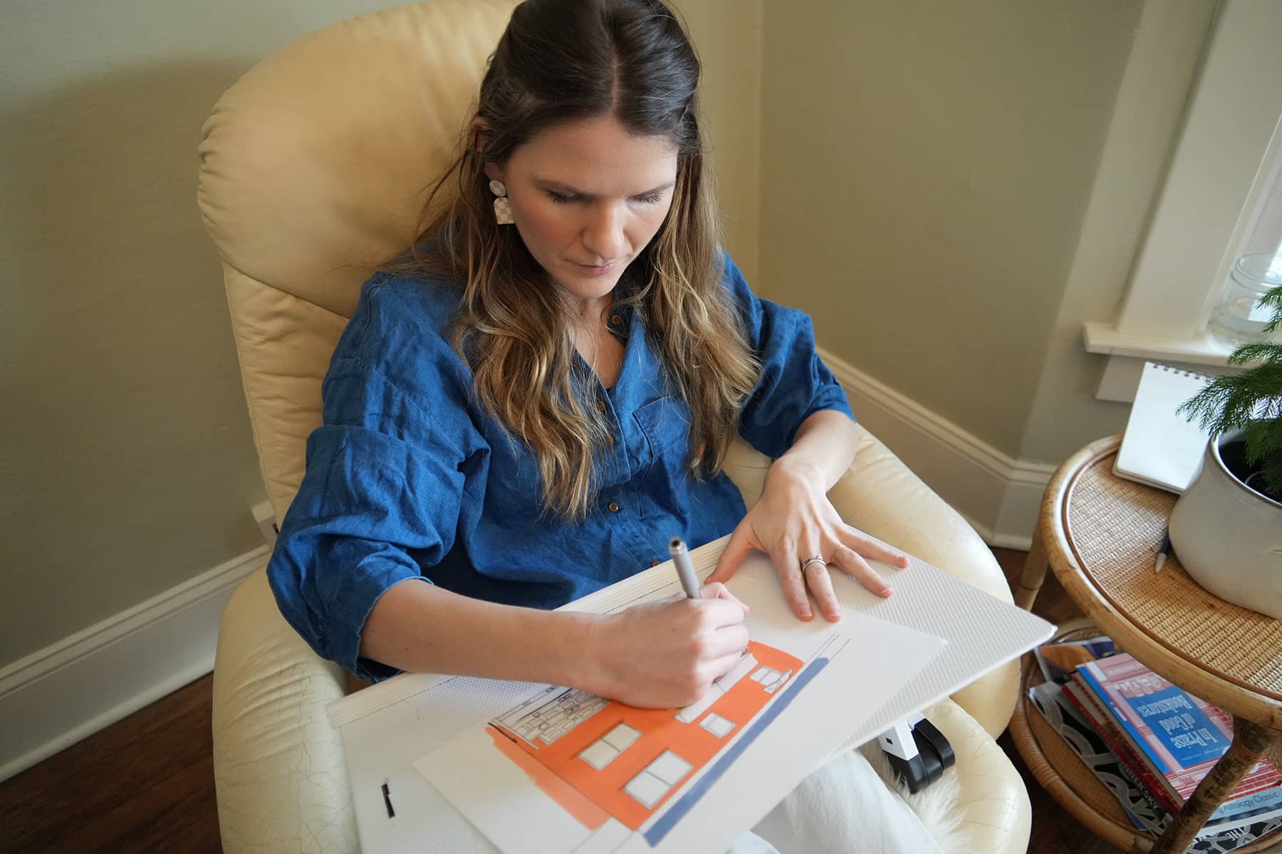
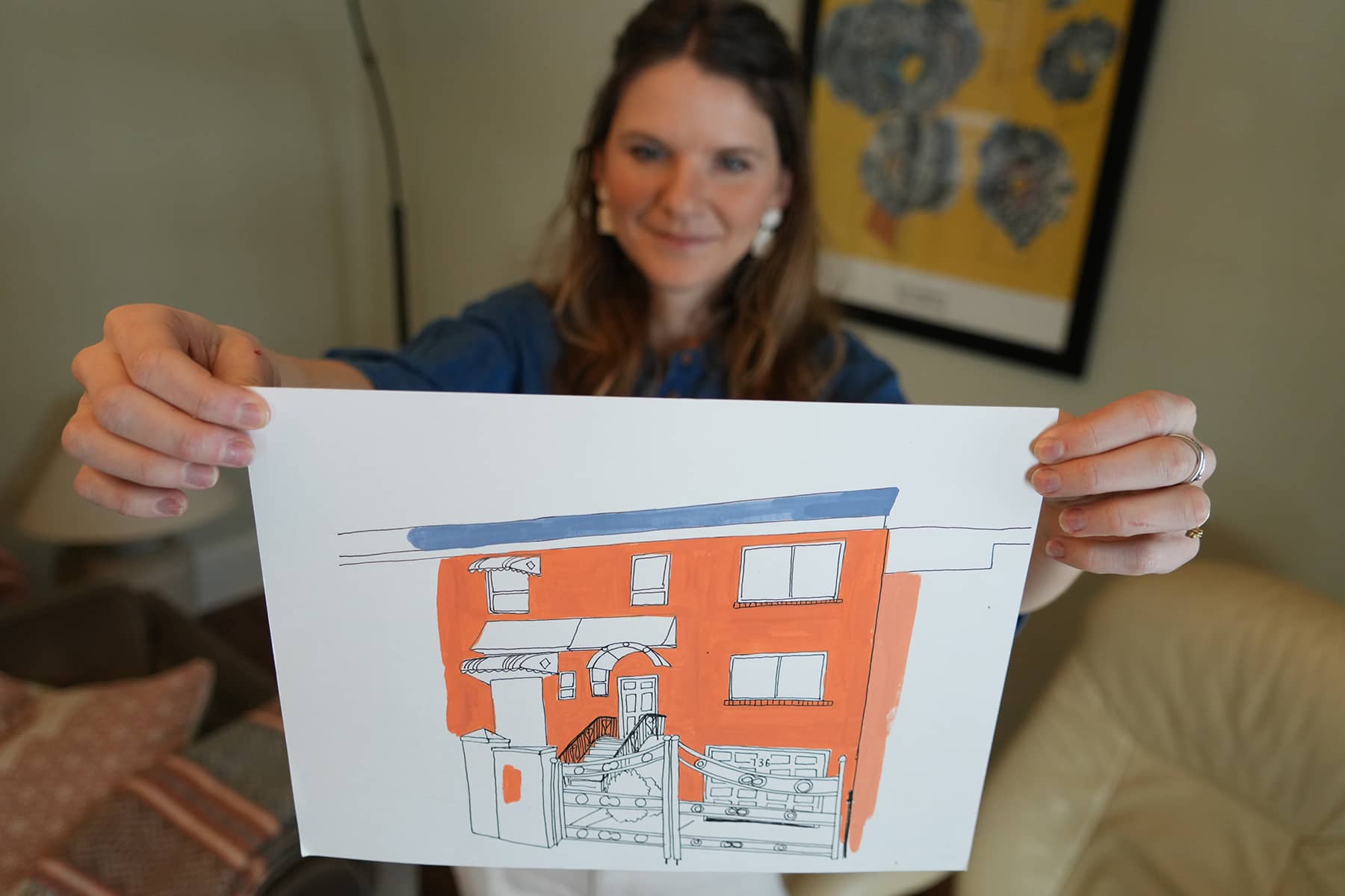
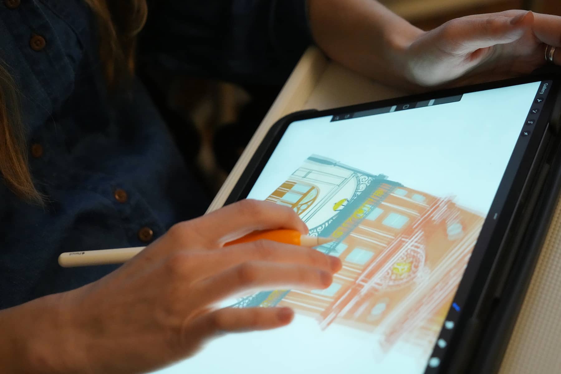
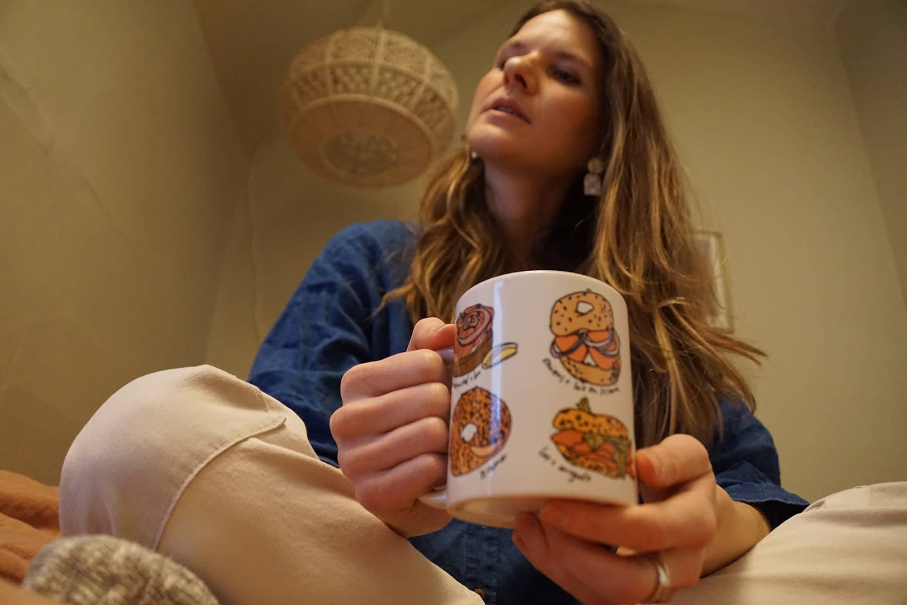
Aly Miller: My “brand” of map making is soulful and playful, with a thoughtful balance between illustrated landmarks and spatial details. I want to make maps that both educate and delight the viewer. I do this by adding enough detail and local references to hold one’s attention, but not too much that it overwhelms. My illustration style can range from detailed line drawings to more minimalist compositions, but they always have elements of hand-drawn feeling, handwritten labels, and colors that reflect the sense of place.
Milwaukee Independent: When commissioned to create maps based on different topics, does that influence how you view certain areas? Is it different when you are asked to create maps for places which you have never visited?
Aly Miller: When I’m commissioned by a newspaper or a client to create a map of a certain place, I do a lot of research to learn about the history and geography of the place I’m mapping. Since most of the maps I’ve created are for cities I’ve never been to, I look on Pinterest or Instragram to see what’s iconic about each place, and to start to understand what the culture there is like. I also have conversations with the client about their goals with the map, and their insight into the region and the spatial story that we’re telling.
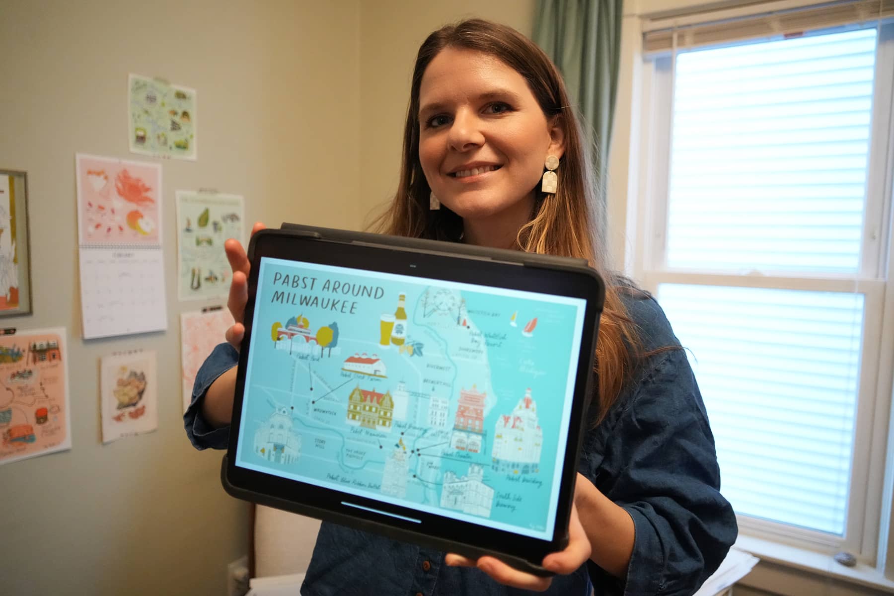
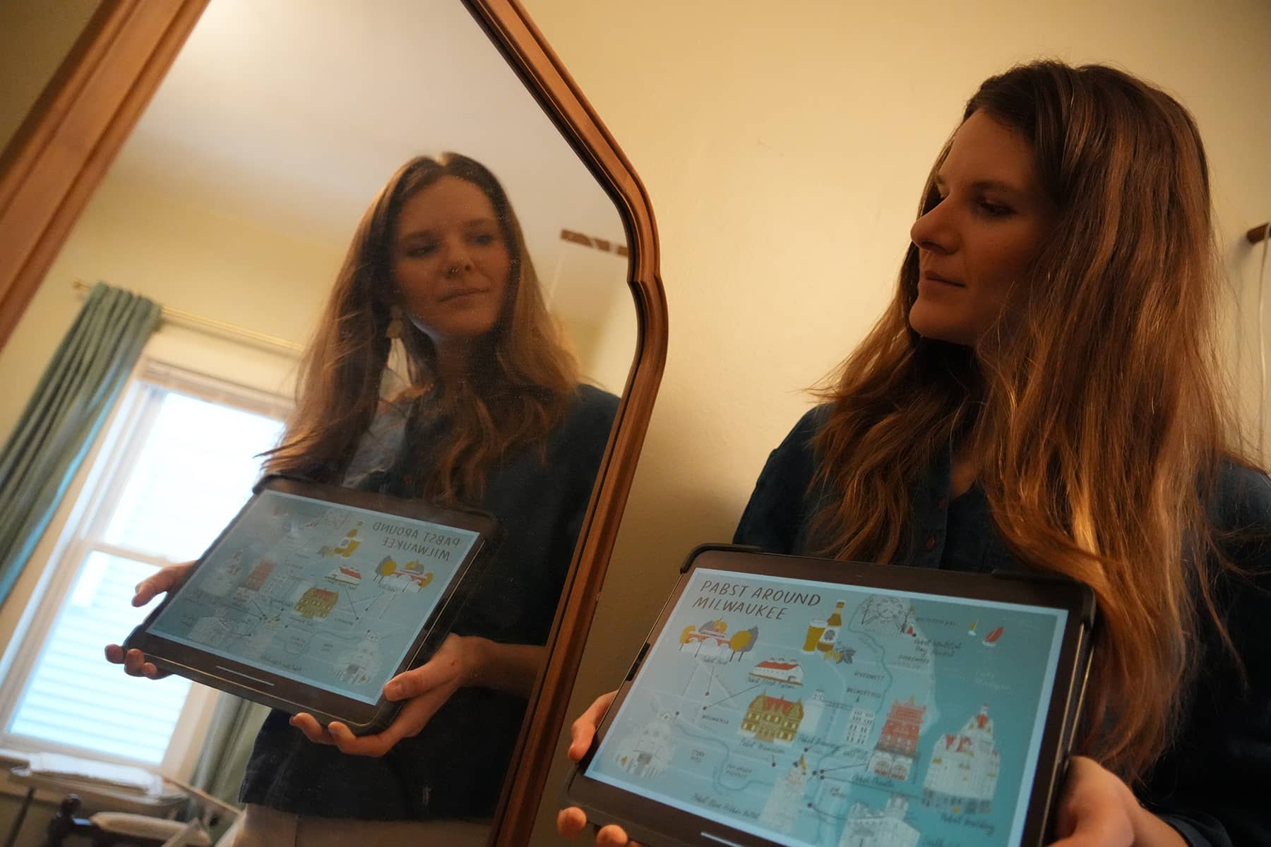
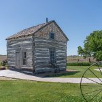
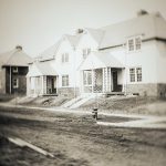
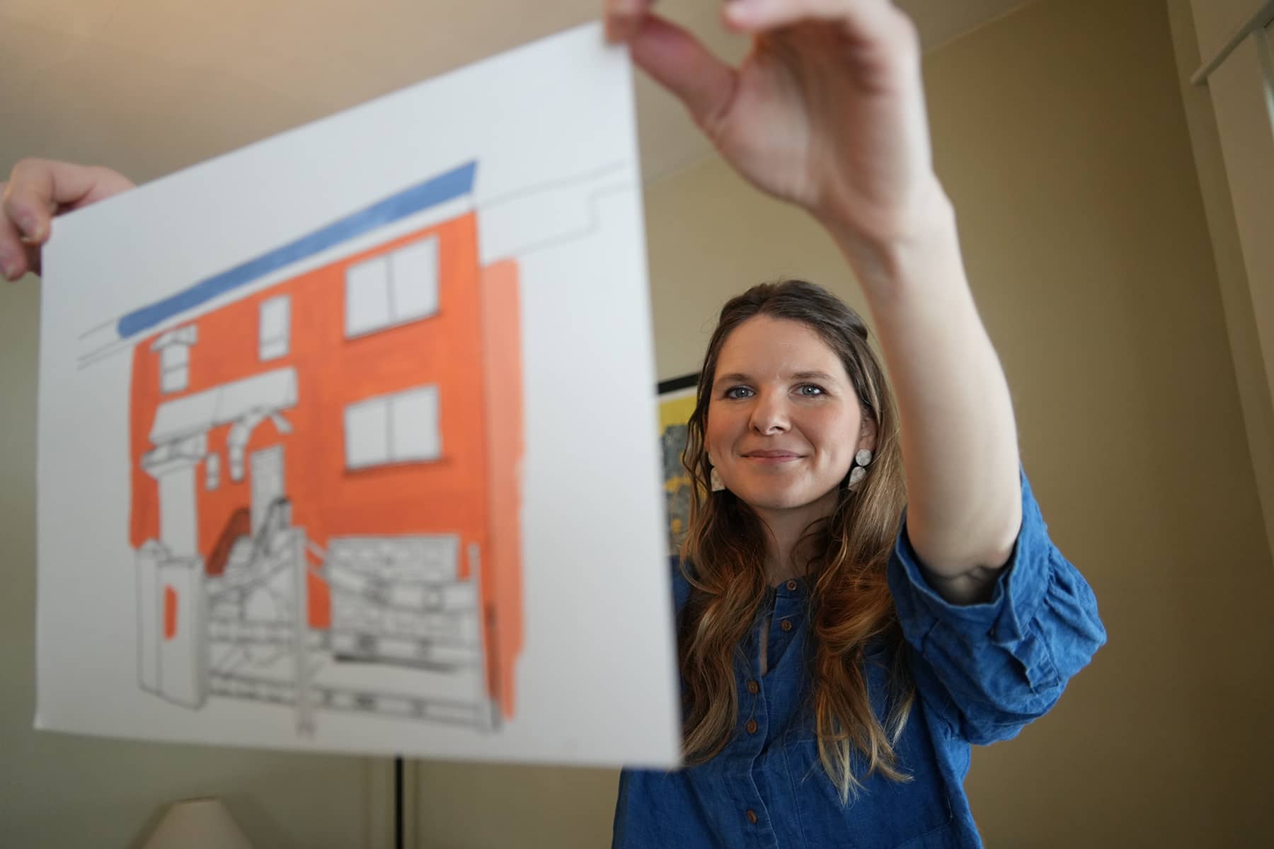
For the Pabst map, for example, my assignment was to map historic Pabst buildings around Milwaukee, some of which no longer exist. This idea of mapping history onto contemporary landscapes was really exciting to me, and shaped the way I designed the map. Because all of these structures pre-dated the interstate system (created in the 1960s-70s), I decided not to include the highway system, and instead included important streets to convey relationships between neighborhoods and situate the buildings in space. Another decision that Jocelyn and I made was to label today’s neighborhoods in and around Milwaukee to help the viewers relate to the map and broaden their own sense of place. It was a brilliant way to bridge the gap between historic Milwaukee and the city we know and experience today.
This project changed the way I view the city I grew up in, and the city I now live in, by shortening the distance between present-day Milwaukee and turn-of-the-century Milwaukee. It enabled me to view the past and present together on the page, tied together by the beer brewing industry, and my personal history. It became clearer how downtown Milwaukee was shaped by Frederic Pabst, an immigrant who started with a brewery and ended up creating skyscrapers, a theater and a resort. It made me think of the countless other immigrants whose stories aren’t as known. And ultimately, it made me think of my family’s roots here, and how my ancestors may have interacted with Pabst’s Milwaukee. In making this map I started asking these questions, and learned that my grandparents met while working in the old Pabst Building! I’ve always admired the architectural mark that Pabst left on our city, but I never expected to feel so personally connected to it.
Milwaukee Independent: Can you compare how you feel about the authenticity of a map commissioned for a group with a specific theme vs a more general travel blog?
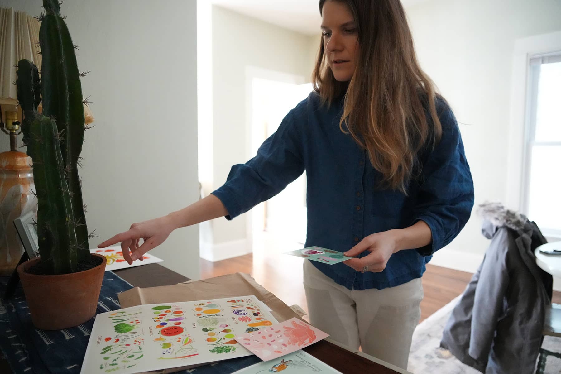
Aly Miller: I really work hard to create maps that people feel connected to, regardless of who commissions it or what the topic is. I think it would be great fun to make maps for travel blogs, especially if I could work with locals to add in some “off the beaten path” places that unlock a greater understanding of the area. And of course, I love making super specific maps like The Best Jewish Food in Los Angeles, or Buying Black in Oakland because these are such fun, positive ways of celebrating communities and cultures whose stories aren’t often mapped. These maps highlight identity and culture and their relationships to place, which, as a geographer and social justice advocate, is always exciting to be a part of.
Milwaukee Independent: What do you like most about mapmaking?
Aly Miller: My favorite part of making maps is simply getting to learn more about the world, and deciding what I can do as a designer and illustrator to make that place really come alive with a sense of place, on the page. And more than anything, I love being able to make maps and draw from a geographic lens, professionally! It truly is a dream come true.